HA
Burford Way, WELLINGBOROUGH
By haart
£ 1,895
haart says ..
EXECUTIVE FAMILY HOME
- Bedrooms
- 4
- Bathrooms
- 1
The heatmap indicates the level of crime in the area. The color of the heatmap indicates the crime severity and recency.
Metrics Year-on-Year
- Average area value
- 312,214.00 £Increased by 28.25 %
- Average area rental value
- 930.00 £/moIncreased by 3.79 %
- Est rental Yield
- 3.57 %Decreased by 19.23 %
- Crime Rate
- 2.00 %Unchanged by 0.00 %
from 243,447.00 £
from 896.00 £/mo
from 4.42 %
from 2.00 %
Agent Activity
haart created the listing.
Nearby Schools
| Name | Type | Ofsted | Distance |
|---|---|---|---|
| Our Lady'S Catholic Primary School | Academy Sponsor Led | 0.75 KM | |
| Weavers Academy | Academy Sponsor Led | Good | 1.44 KM |
| Croyland Primary School | Community School | Good | 1.45 KM |
| Ruskin Infant School | Academy Converter | 1.45 KM | |
| Ruskin Academy | Academy Sponsor Led | 1.46 KM |
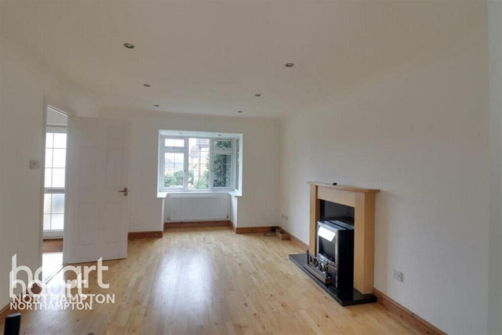
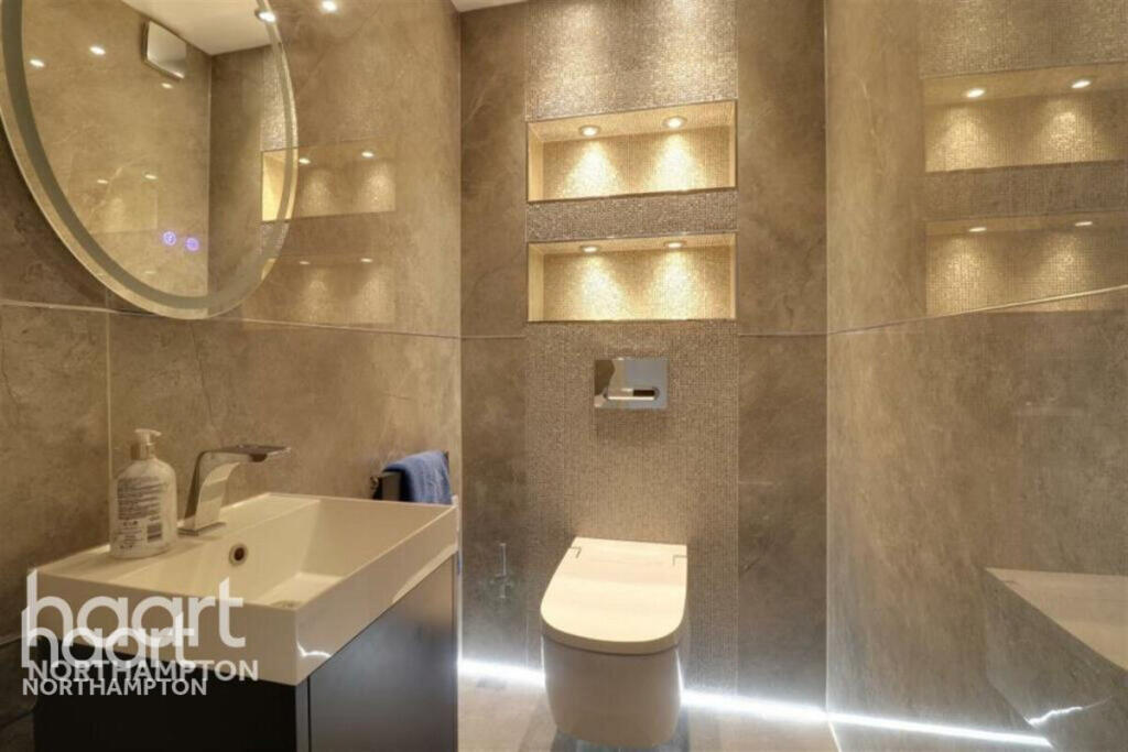
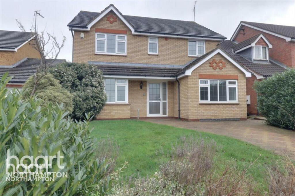
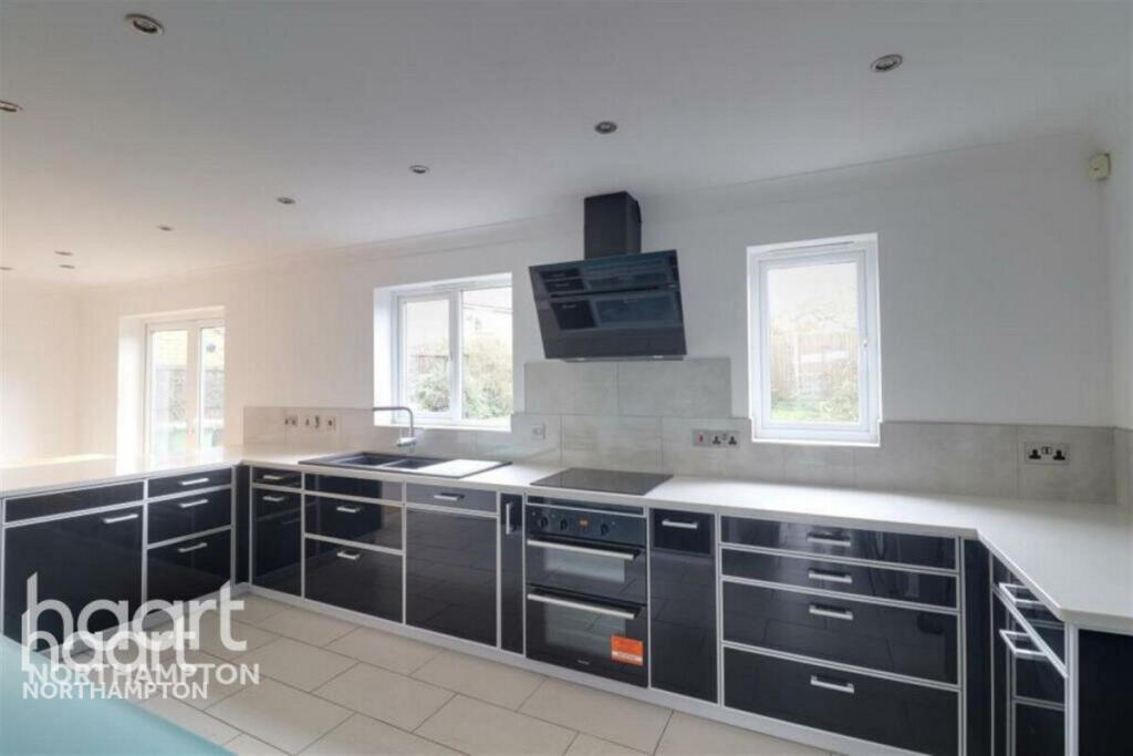
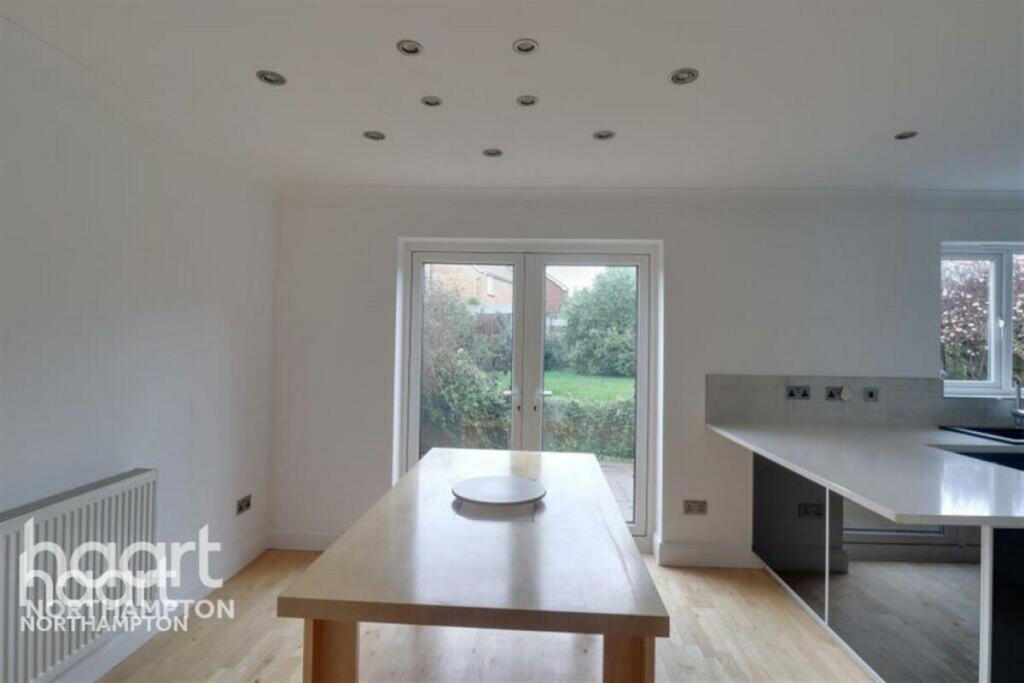
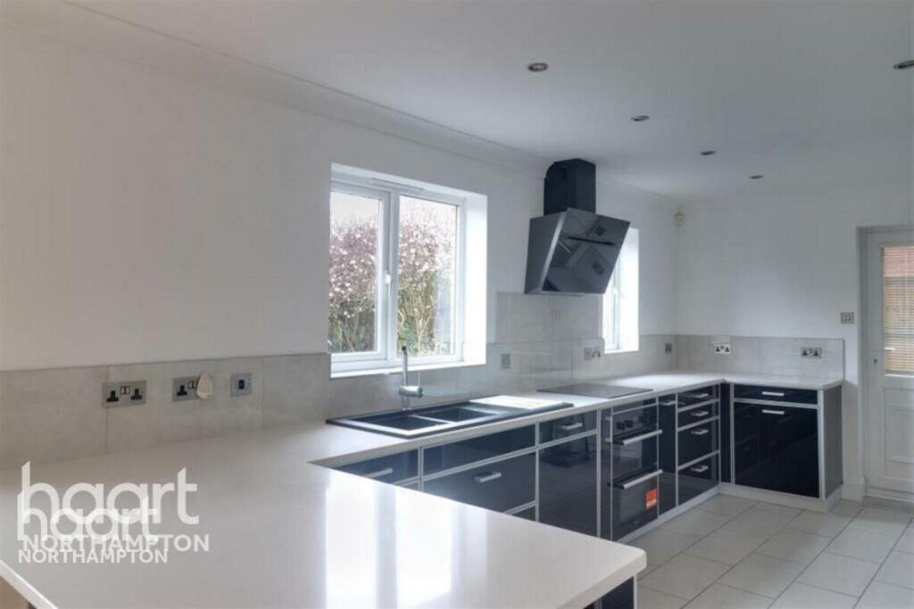
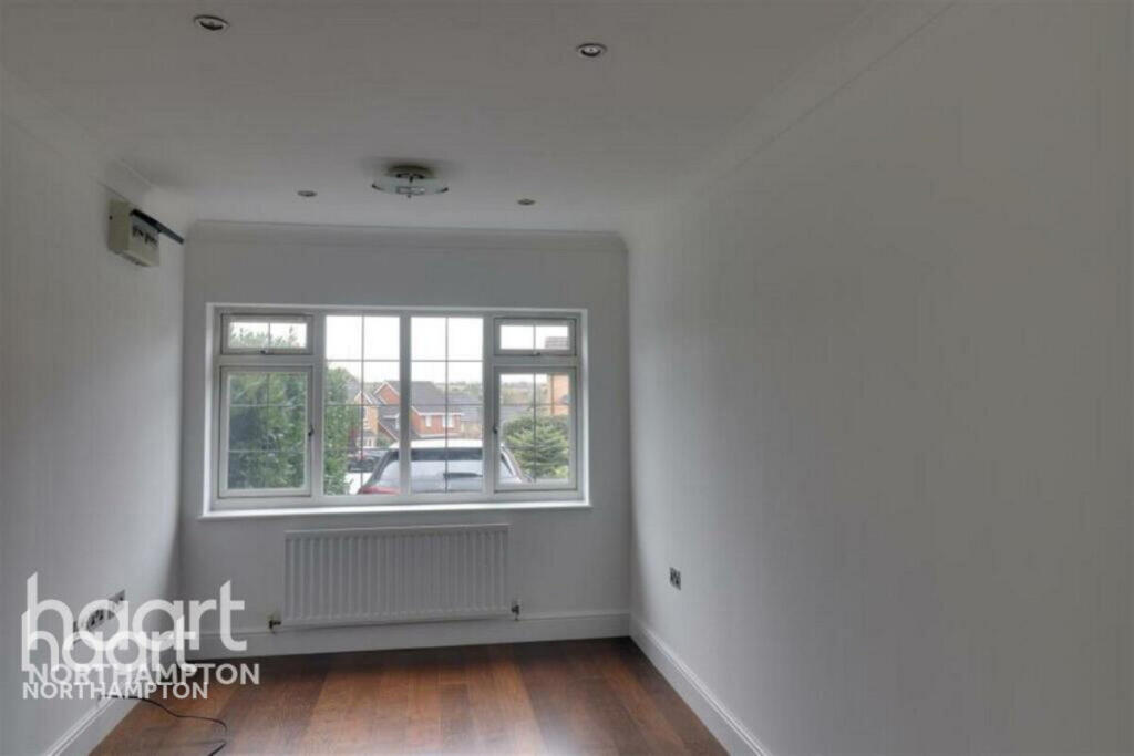
Images


Nearby Streets
| Name | Average Price | Average Sqft | Distance |
|---|---|---|---|
| Wilby Way | £ 450,000 | 0 | 0.00 KM |
| Park Farm Way | £ 0 | 0 | 0.00 KM |
| Osborn Court | £ 254,995 | 0 | 0.00 KM |
| Wilby Park Homes | £ 172,139 | 0 | 0.00 KM |
| Pindar Road | £ 0 | 0 | 0.00 KM |
Nearby Transport
| Name | NLC | TLC | Distance |
|---|---|---|---|
| Wellingborough | 1940 | WEL | 4.58 KM |
Nearby Listings
| Address | Price | Type | Score | Distance |
|---|---|---|---|---|
| Burford Way, WELLINGBOROUGH | £ 1,895 | RENT | Unknown | 0.00 KM |
| Burford Way, Wellingborough | £ 1,795 | RENT | Unknown | 0.04 KM |
| Sandringham Close, Wellingborough | £ 950 | RENT | Unknown | 0.43 KM |
| Charles Street, Wellingborough | £ 825 | RENT | Unknown | 0.51 KM |
| Elizabeth Close, Wellingborough | £ 975 | RENT | Unknown | 0.52 KM |
Nearby Properties
| Address | Price | Distance |
|---|---|---|
| 16 Burford Way | £ 255,000 | 0.03 KM |
| 7 Burford Way | £ 195,000 | 0.03 KM |
| 6 Burford Way | £ 259,950 | 0.03 KM |
| 5 Burford Way | £ 300,000 | 0.03 KM |
| 9 Burford Way | £ 262,500 | 0.03 KM |