
Oscar James says ..
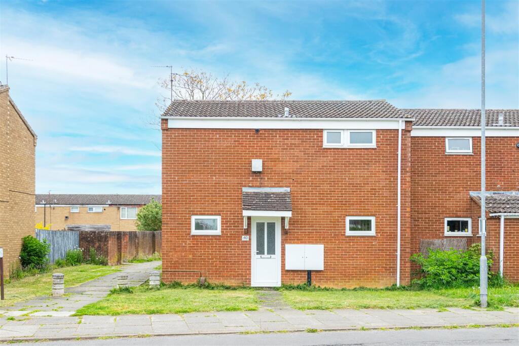
Nestled in the charming area of Burns Drive, Corby, this delightful end-terrace house presents an excellent opportunity for both first-time buyers and those seeking a comfortable rental property. The home boasts a well-proportioned reception room, perfect for entertaining guests or enjoying quiet...
Property Oracle says ..
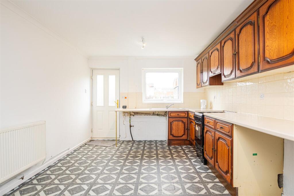
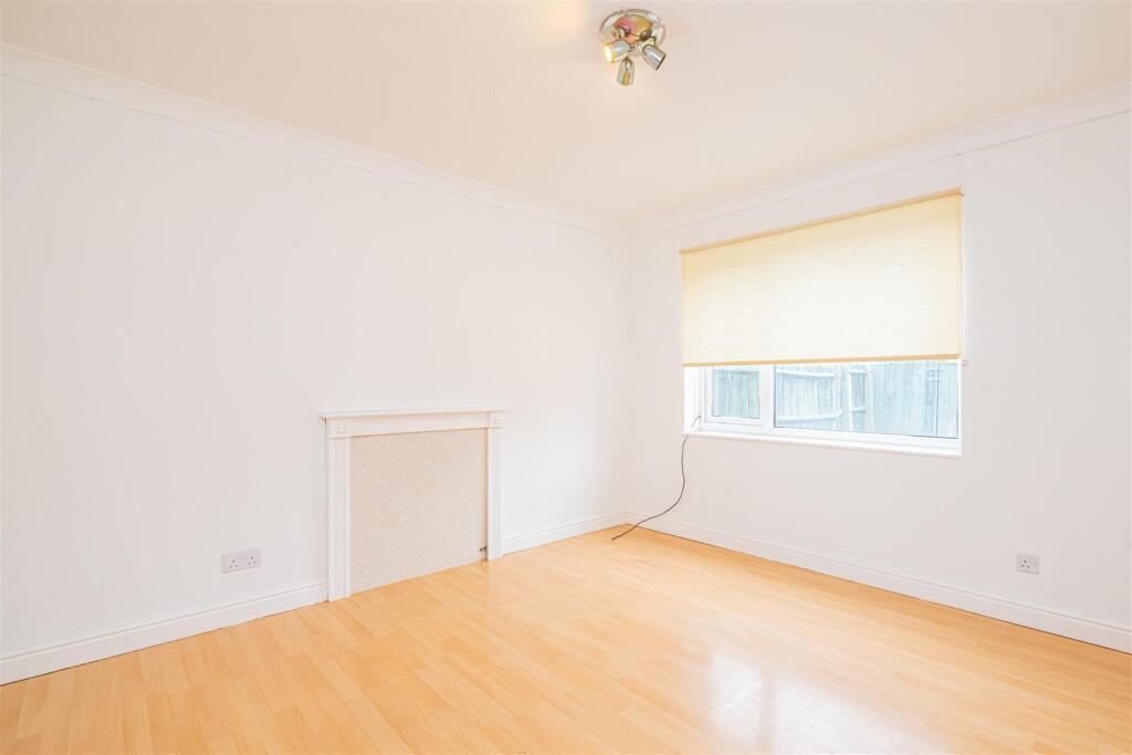
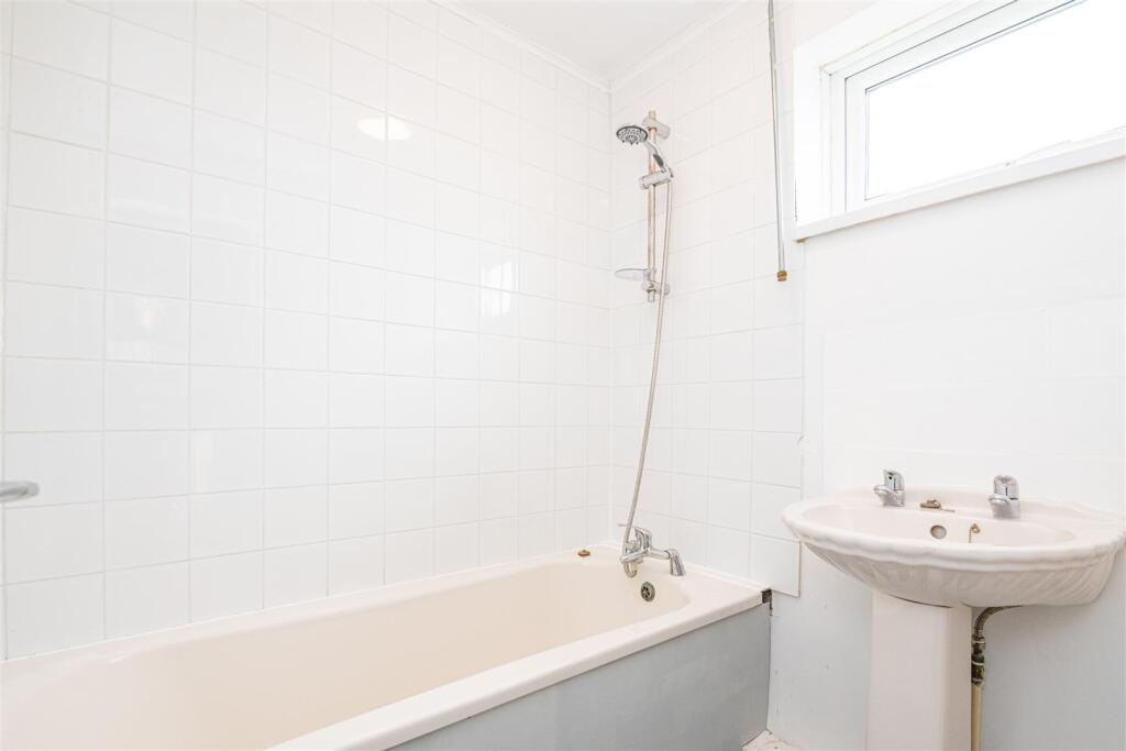
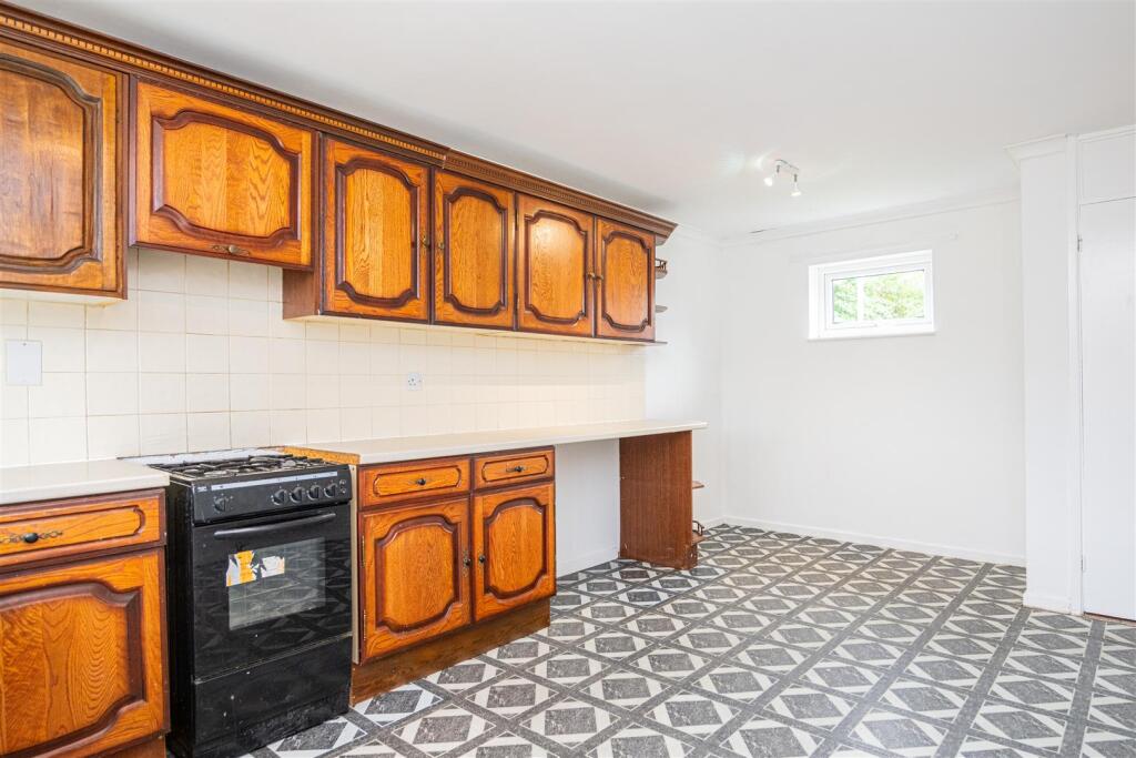
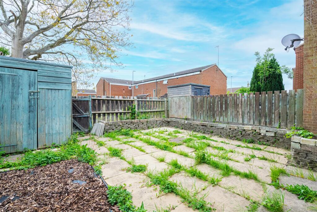
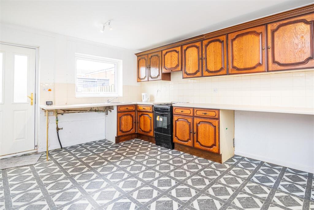
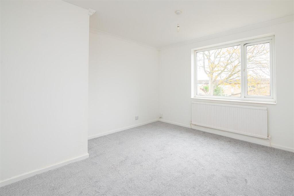
The property is a 2-bedroom end of terrace house with a list price of £180,000. The average price for properties in the area is £219,326, with an average price per square foot of £228. This particular property has 747 sqft, and while the plot size is listed as 0.00 sqft, the external photos show a small, enclosed rear garden. The property’s condition appears to be fair. The kitchen and bathroom show their age and would likely benefit from some modernisation. The flooring and some of the fixtures and fittings appear dated. While the property is habitable, potential buyers should budget for some improvements and upgrades. The location, in Lloyds, Corby, is reasonably convenient. There are several schools within a short distance, including Woodnewton- A Learning Community which has a good Ofsted rating. The proximity to Corby train station (East Midlands Railway) provides access to public transportation. The average price of properties on Burns Drive is £184,950, which is in line with the list price of this property. Considering the property’s condition, the relatively small size (747 sqft compared to the area average of 958 sqft), and the presence of a small garden, the list price of £180,000 appears to be reasonably priced, especially in comparison to similar properties on Burns Drive. However, potential buyers should factor in the costs of necessary renovations and modernisation.
Therefore, we give this property 6 / 10. *Disclaimer: This is our option and does constitute a recommendation or financial advice. Do your own research. *
- Price
- 7
- Condition
- 6
- Location
- 7
- Land
- 4
- Bedrooms
- 2
- Bathrooms
- 1
- Sqft (est)
- 747.00
The heatmap indicates the level of crime in the area. The color of the heatmap indicates the crime severity and recency.
Metrics Year-on-Year
- Average area value
- 252,990.00 £Increased by 10.37 %
- Est sale value
- 198,702.00 £Decreased by 2.56 %
- Average area rental value
- 989.00 £/moIncreased by 4.88 %
- Est letting value
- 747.00 £/moUnchanged by 0.00 %
- Est rental Yield
- 4.69 %Decreased by 5.06 %
- Crime Rate
- 6.00 %Unchanged by 0.00 %
Agent Activity
Oscar James created the listing.
Nearby Schools
| Name | Type | Ofsted | Distance |
|---|---|---|---|
| Studfall Junior Academy | Academy Converter | 0.29 KM | |
| Woodnewton- A Learning Community | Academy Converter | Good | 0.79 KM |
| Exeter Primary School | Children's Centre | 0.79 KM | |
| Woodnewton | Children's Centre | 0.79 KM | |
| Studfall Infant Academy | Academy Converter | 0.88 KM |
Images


Nearby Streets
| Name | Average Price | Average Sqft | Distance |
|---|---|---|---|
| Burns Drive | £ 184,950 | 0 | 0.00 KM |
| Borrowdale Road | £ 400,000 | 0 | 0.00 KM |
| Trent Road | £ 159,975 | 0 | 0.00 KM |
| Creswell Walk | £ 0 | 0 | 0.00 KM |
| Arran Rise | £ 145,000 | 0 | 0.00 KM |
Nearby Transport
| Name | NLC | TLC | Distance |
|---|---|---|---|
| Corby | 1847 | COR | 2.79 KM |
Nearby Listings
| Address | Price | Type | Score | Distance |
|---|---|---|---|---|
| Burns Drive, Corby | £ 180,000 | BUY | 6 / 10 | 0.00 KM |
| Burns Drive, Corby, Northamptonshire | £ 155,000 | BUY | 5 / 10 | 0.08 KM |
| Burns Drive, Corby | £ 190,000 | BUY | 6 / 10 | 0.08 KM |
| John Clare Way, CORBY | £ 179,995 | BUY | 5 / 10 | 0.08 KM |
| The Brontes, Corby | £ 175,000 | BUY | 6 / 10 | 0.09 KM |
Nearby Properties
| Address | Price | Distance |
|---|---|---|
| 44 Burns Drive | £ 140,000 | 0.08 KM |
| 30 Burns Drive | £ 157,000 | 0.08 KM |
| 3 Burns Drive | £ 189,950 | 0.08 KM |
| 17 Burns Drive | £ 135,000 | 0.08 KM |
| 10 Burns Drive | £ 208,000 | 0.08 KM |