MC
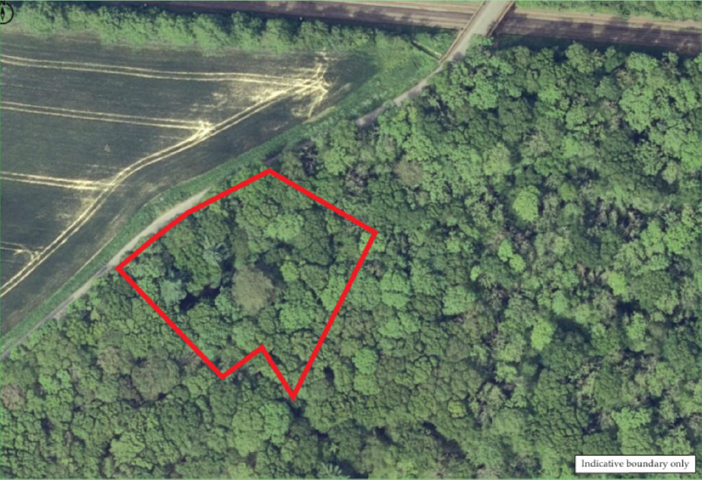
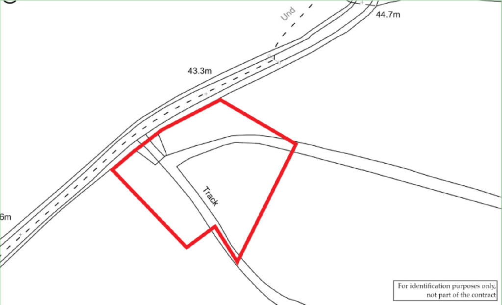
Land at Bethersden Road, Bethersden, Ashford, Kent
By McHugh & Co
£ 5,000
McHugh & Co says ..
Freehold Land
- Bedrooms
- 0
- Bathrooms
- 0
The heatmap indicates the level of crime in the area. The color of the heatmap indicates the crime severity and recency.
Metrics Year-on-Year
- Average area value
- 257,097.00 £Decreased by 8.25 %
- Average area rental value
- 956.00 £/moIncreased by 1.92 %
- Est rental Yield
- 4.46 %Increased by 10.95 %
- Crime Rate
- 0.00 %
from 280,201.00 £
from 938.00 £/mo
from 4.02 %
from 0.00 %
Agent Activity
McHugh & Co created the listing.
Nearby Schools
| Name | Type | Ofsted | Distance |
|---|---|---|---|
| Bluebells Children'S Centre | Children's Centre | 0.78 KM | |
| Goldwyn School | Foundation Special School | Outstanding | 1.67 KM |
| Godinton Primary School | Academy Converter | Good | 3.85 KM |
| The Wyvern School (Buxford) | Foundation Special School | Good | 4.27 KM |
| Great Chart Primary School | Community School | Outstanding | 4.52 KM |
Images
Nearby Streets
| Name | Average Price | Average Sqft | Distance |
|---|---|---|---|
| Plantation Close | £ 0 | 0 | 0.00 KM |
| School Road | £ 300,000 | 0 | 0.00 KM |
| Common Way | £ 293,750 | 0 | 0.00 KM |
| Waterfall Road | £ 700,000 | 0 | 0.00 KM |
| Worten Cottage | £ 0 | 0 | 0.00 KM |
Nearby Transport
| Name | NLC | TLC | Distance |
|---|---|---|---|
| Charing (Kent) | 5097 | CHG | 5.13 KM |
| Pluckley | 5225 | PLC | 7.31 KM |
| Ashford International | 5004 | AFK | 7.52 KM |
Nearby Listings
| Address | Price | Type | Score | Distance |
|---|---|---|---|---|
| Godinton Lane, Great Chart, Ashford, Kent, TN23 | £ 125,000 | COMMERCIAL_BUY | Unknown | 0.79 KM |
| Home Farm, Goddinton Lane, Great Chart, Ashford, TN23 | £ 300,000 | COMMERCIAL_BUY | Unknown | 0.79 KM |
Nearby Properties
| Address | Price | Distance |
|---|---|---|
| 4 Thanet Terrace | £ 270,000 | 0.40 KM |
| 12 The Street | £ 470,000 | 0.40 KM |
| 10 The Street | £ 325,000 | 0.40 KM |
| 1 Meadow View | £ 325,000 | 0.47 KM |
| 3 Meadow View | £ 390,000 | 0.47 KM |