Benson Road, Shirley, Southampton, Hampshire, SO15
By Morris Dibben
£ 137,000
Reviews
3 out of 5 stars
Morris Dibben says ..
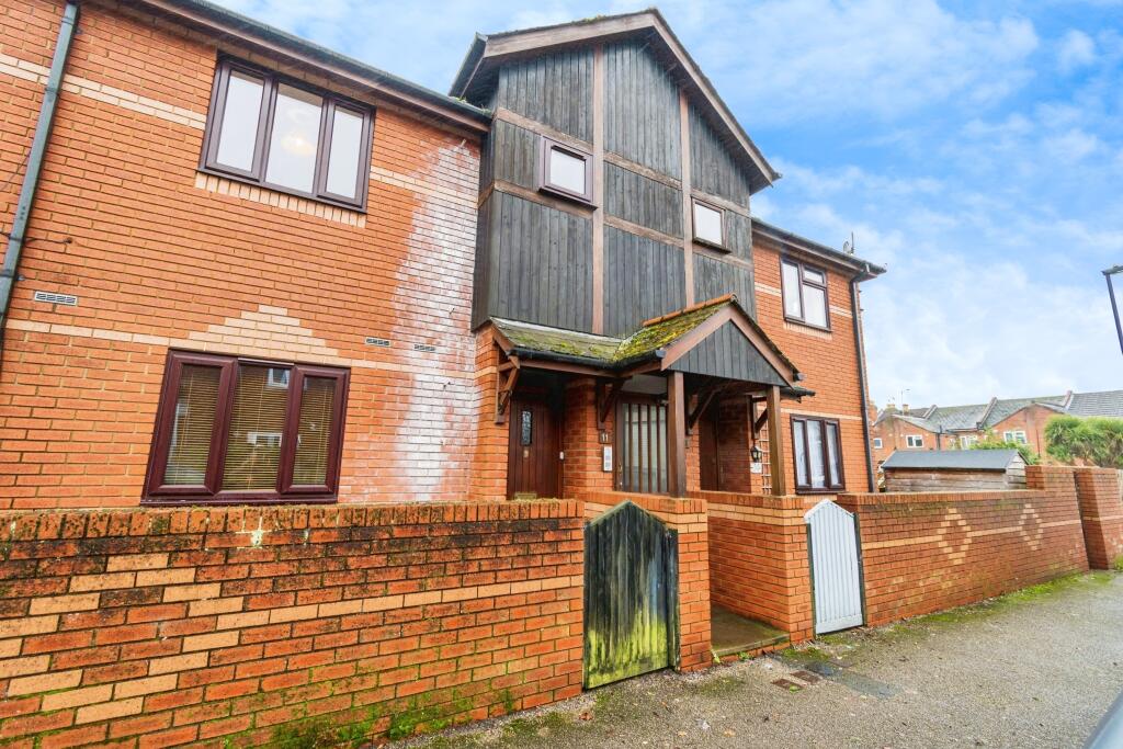
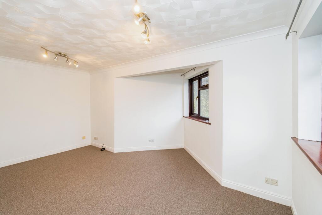
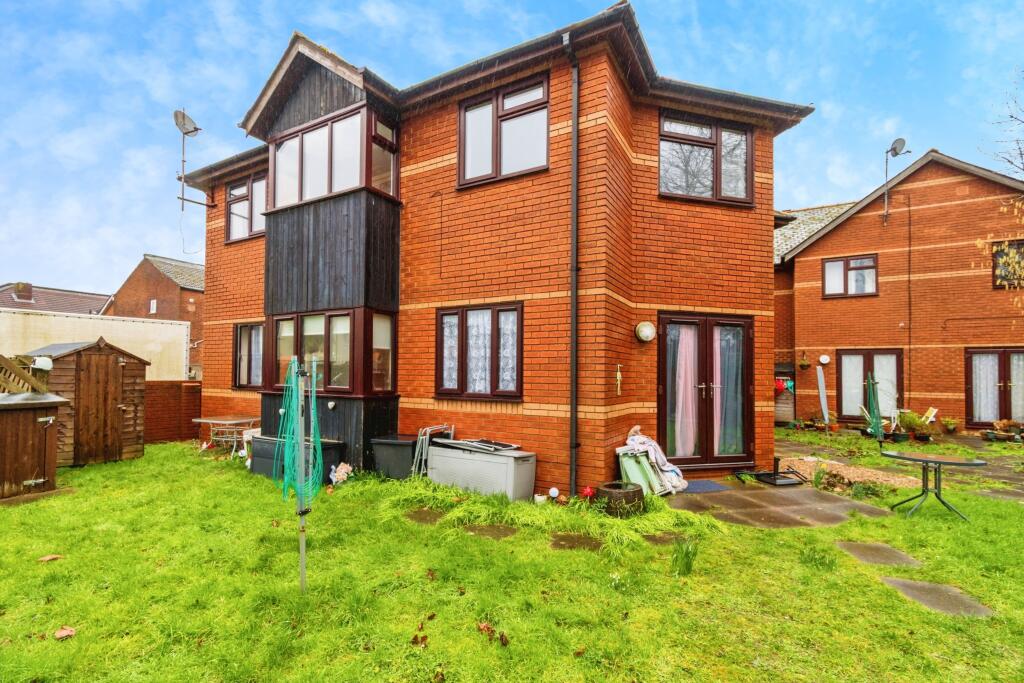
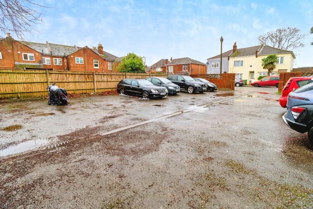
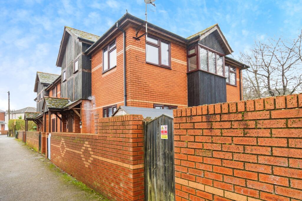
This spacious, purpose-built one-bedroom flat is situated on a quiet road in the popular Shirley district, offering a highly accessible and convenient location just a short distance from Shirley High Street. Positioned within a small, well-maintained purpose-built building, the property benefits ...
Property Oracle says ..
The property is a maisonette located in Shirley, Southampton. It benefits from being close to local amenities and transport links, with Millbrook train station being less than a kilometre away. Foundry Lane Primary School is also very close by, which is rated ‘Good’ by Ofsted.
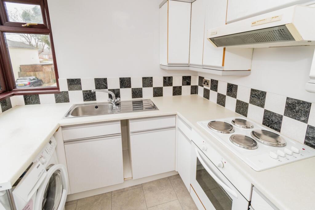
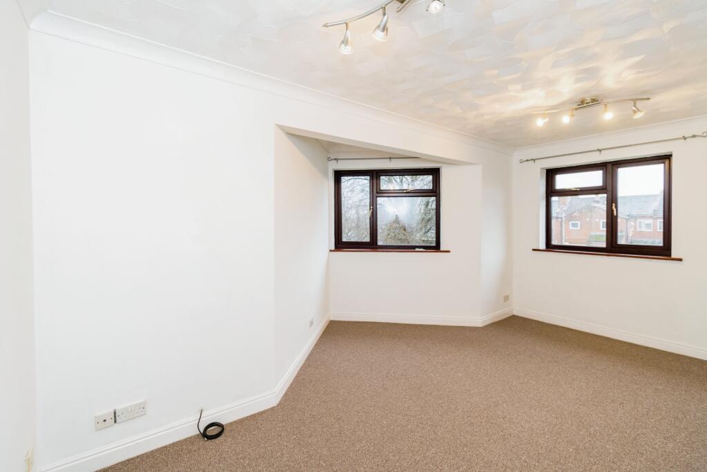
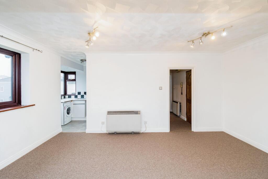
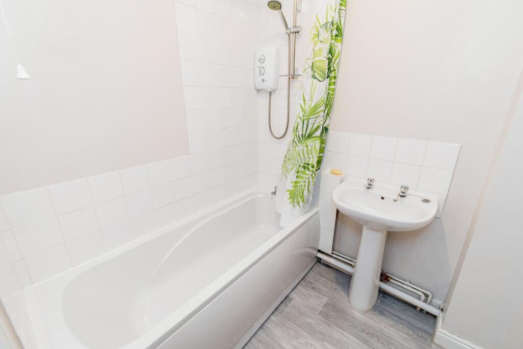
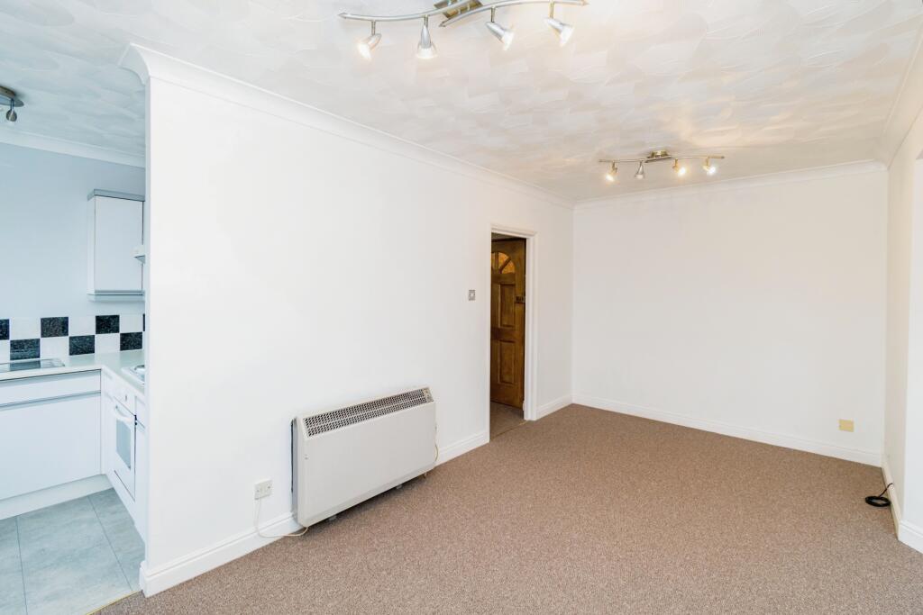
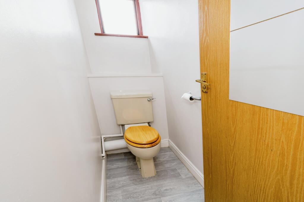
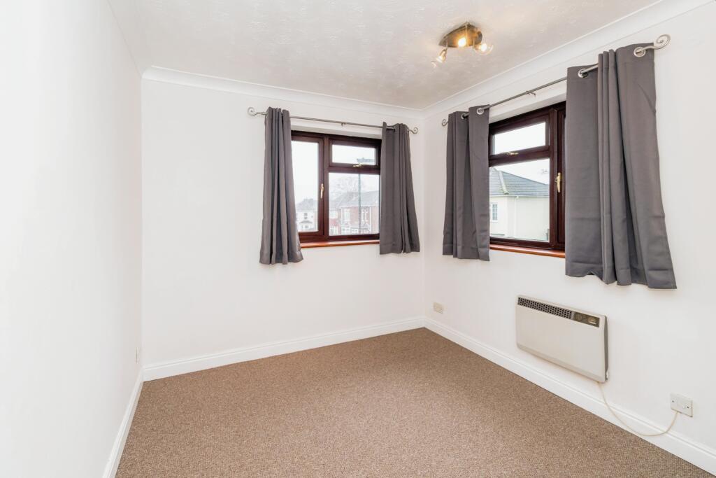
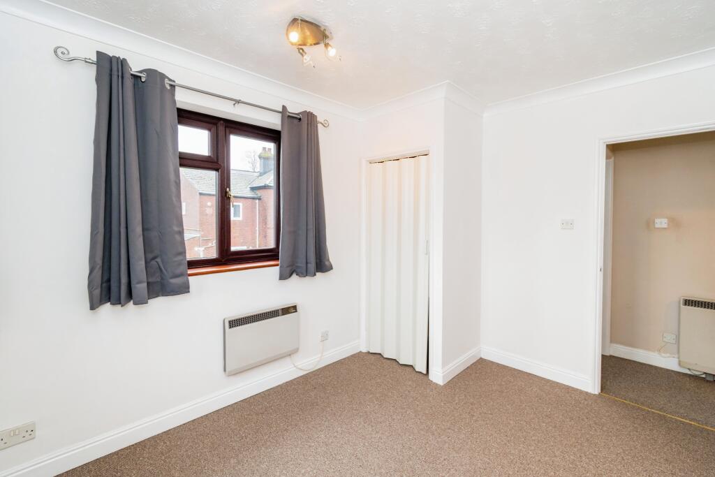
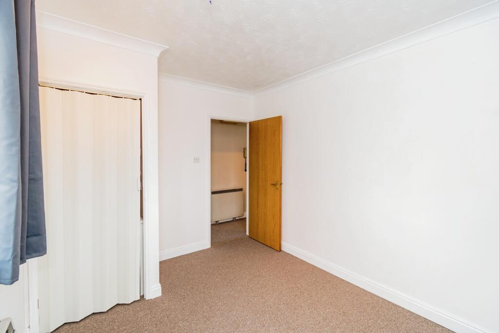
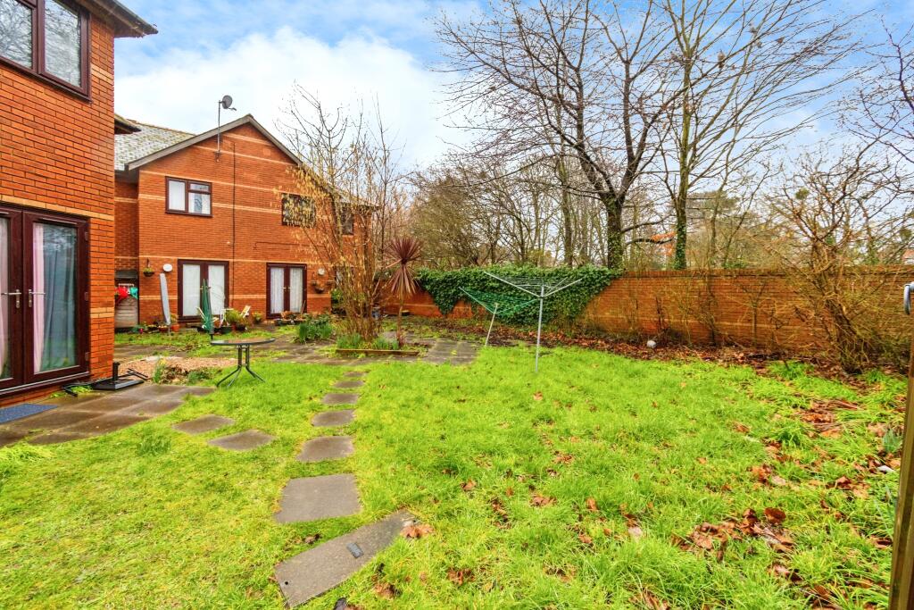
Based on the photos, the property appears to be in reasonable condition. While the exterior shows some minor signs of wear, such as some moss on the brickwork, the interior seems clean and well-maintained. The kitchen and bathroom are dated but functional. There is no obvious need for major repairs or renovations.
The property includes a small, manageable garden area, providing some outdoor space.
Considering the list price of £137,000, the average price in the area of £272,805, and the average price per square foot of £293, the property seems potentially undervalued, especially given its location and the presence of a garden. However, the lack of square footage information for this property and the comparable properties makes it difficult to definitively assess the value. Nearby comparable properties are also listed without square footage, making this comparison challenging. Further investigation into the property’s size would be needed to provide a more accurate assessment of its price in relation to the market.
Therefore, we give this property 7 / 10. *Disclaimer: This is our option and does constitute a recommendation or financial advice. Do your own research. *
- Price
- 7
- Condition
- 7
- Location
- 8
- Land
- 6
- Bedrooms
- 1
- Bathrooms
- 1
- Lot (est)
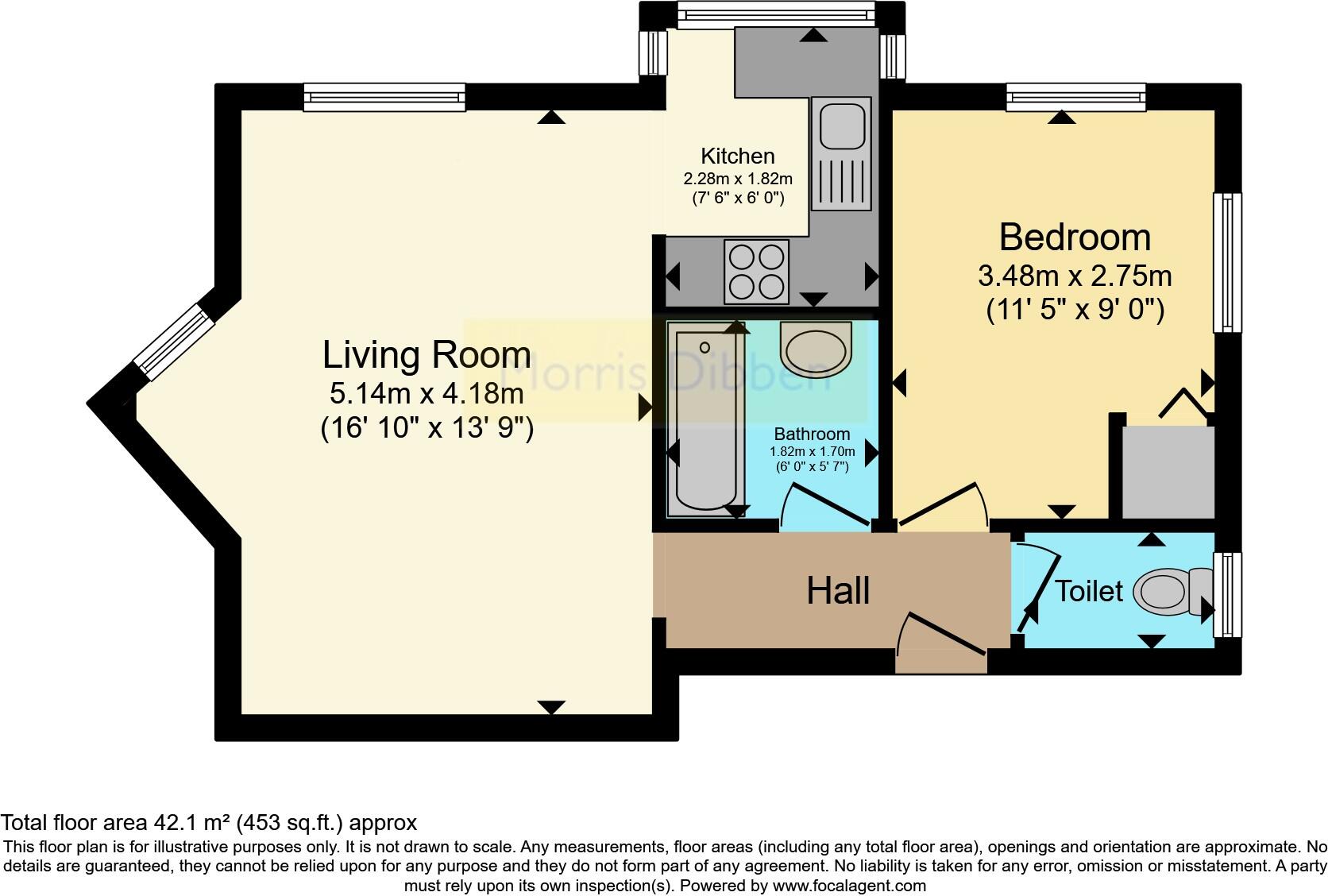
- 453.00
The heatmap indicates the level of crime in the area. The color of the heatmap indicates the crime severity and recency.
Metrics Year-on-Year
- Average area value
- 268,000.00 £Decreased by 0.04 %
- Average area rental value
- 1,045.00 £/moDecreased by 4.22 %
- Est rental Yield
- 4.68 %Decreased by 4.10 %
- Crime Rate
- 4.00 %Unchanged by 0.00 %
Agent Activity
Morris Dibben created the listing.
Nearby Schools
| Name | Type | Ofsted | Distance |
|---|---|---|---|
| Foundry Lane Primary School | Foundation School | Good | 0.13 KM |
| Wordsworth Primary School | Academy Converter | Good | 0.55 KM |
| North Shirley Sure Start Children Centre | Children's Centre | 0.82 KM | |
| Regents Park Community College | Foundation School | Good | 0.87 KM |
| Shirley Warren Primary & Nursery School | Community School | Good | 1.17 KM |
Images
Nearby Streets
| Name | Average Price | Average Sqft | Distance |
|---|---|---|---|
| Marlborough Road | £ 0 | 0 | 0.00 KM |
| Albert Court | £ 0 | 0 | 0.00 KM |
| Regent's Park Gardens | £ 0 | 0 | 0.00 KM |
| Cindy Court | £ 154,450 | 0 | 0.00 KM |
| Shirley Road | £ 135,000 | 0 | 0.00 KM |
Nearby Transport
| Name | NLC | TLC | Distance |
|---|---|---|---|
| Millbrook (Hants) | 5909 | MBK | 0.94 KM |
| Southampton Central | 5932 | SOU | 2.69 KM |
| Redbridge | 5912 | RDB | 3.95 KM |
| St Denys | 5914 | SDN | 5.17 KM |
| Totton | 5921 | TTN | 5.31 KM |
Nearby Listings
| Address | Price | Type | Score | Distance |
|---|---|---|---|---|
| Benson Road, Shirley, Southampton, Hampshire, SO15 | £ 137,000 | BUY | 7 / 10 | 0.00 KM |
| Benson Road, Southampton | £ 275,000 | BUY | 6 / 10 | 0.00 KM |
| Benson Road, Southampton, SO15 | £ 130,000 | BUY | 6 / 10 | 0.05 KM |
| Imperial Avenue, Shirley, Southampton | £ 310,000 | BUY | 6 / 10 | 0.12 KM |
| Leighton Avenue, Southampton, SO15 | £ 290,000 | BUY | 7 / 10 | 0.13 KM |
Nearby Properties
| Address | Price | Distance |
|---|---|---|
| 2a Benson Road | £ 114,000 | 0.00 KM |
| 3 Benson Road | £ 115,000 | 0.00 KM |
| 7 Benson Road | £ 74,000 | 0.00 KM |
| 13 Benson Road | £ 101,000 | 0.00 KM |
| 11 Benson Road | £ 35,000 | 0.00 KM |