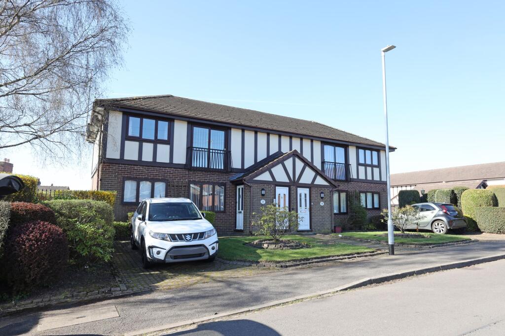

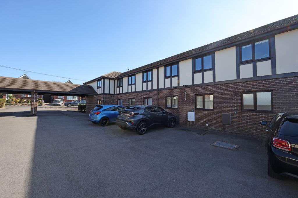
Loring Road, Tudor Court Loring Road, ST5
By Follwells Ltd
£ 120,000
Reviews
2 out of 5 stars
Follwells Ltd says ..
A two-bedroom first floor flat situated on the edge of a popular and successful purpose-built development and providing well proportioned accommodation ideally suited to a first-time buyer or as a rental investment.
Property Oracle says ..
The property is located in Bradwell, Newcastle-Under-Lyme, Staffordshire. The area benefits from relatively close proximity to several schools, with options ranging from good to outstanding Ofsted ratings within approximately 1km. Transportation links are also reasonably accessible, with Longport train station being 1.35km away. However, the property itself has a small plot size (0.00 sqft), meaning there is no garden.
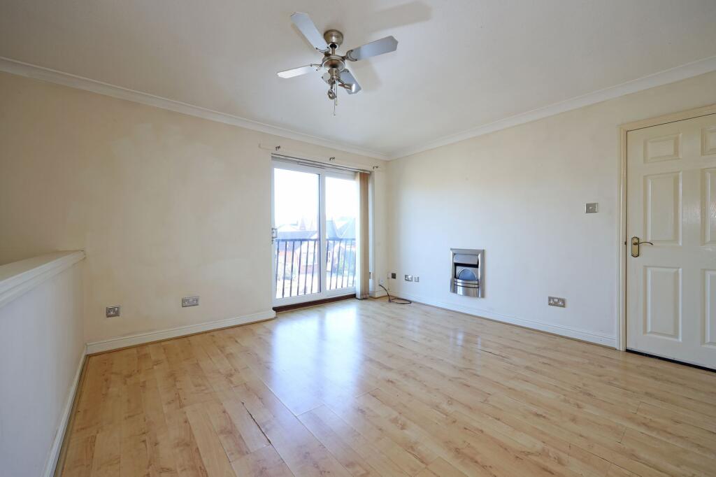
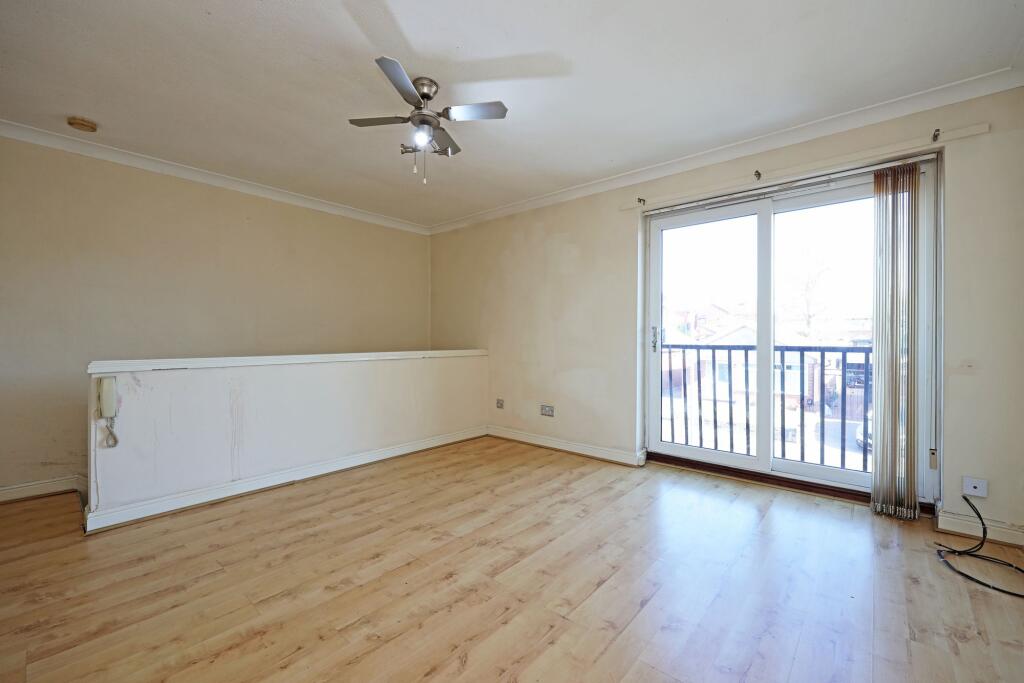
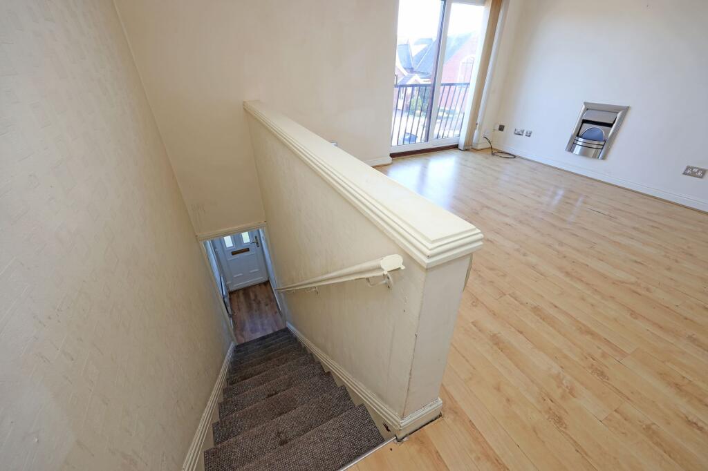
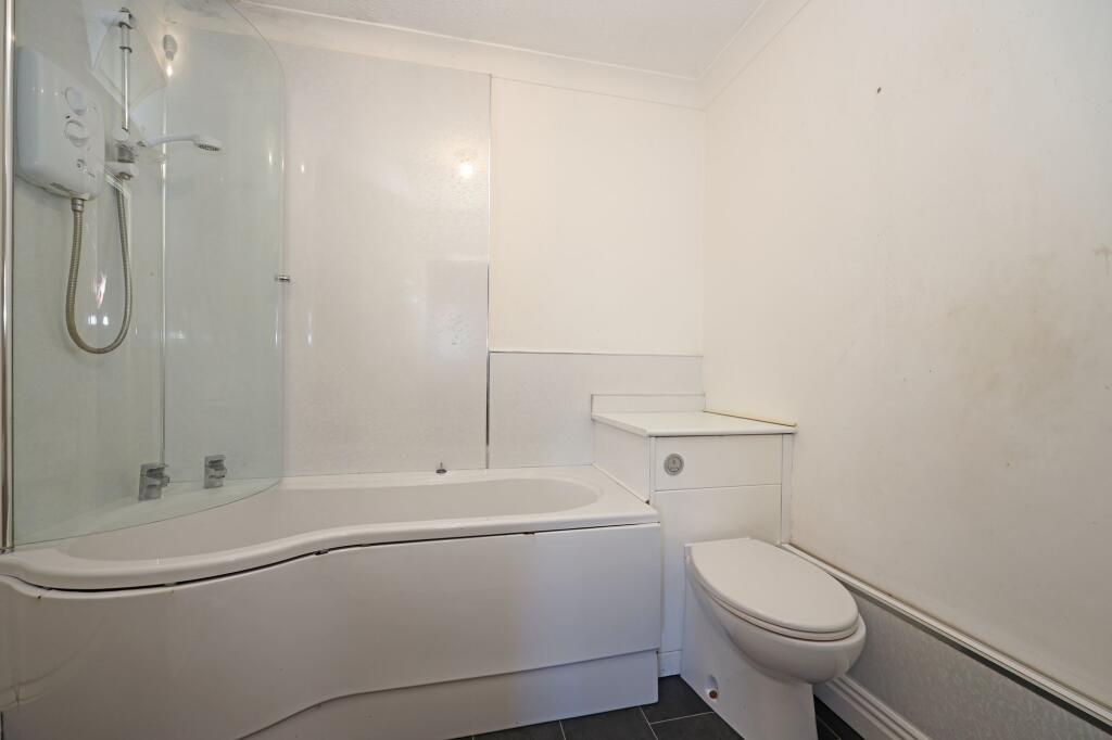
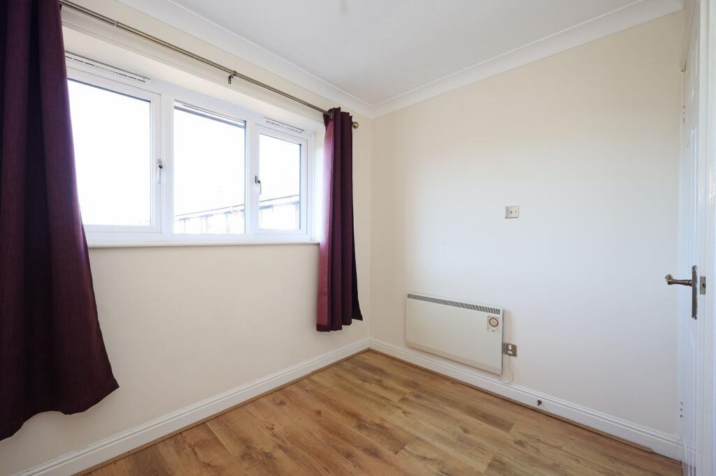
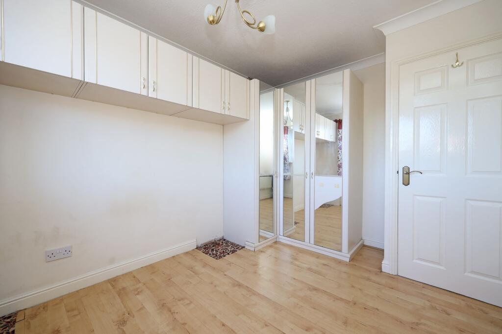
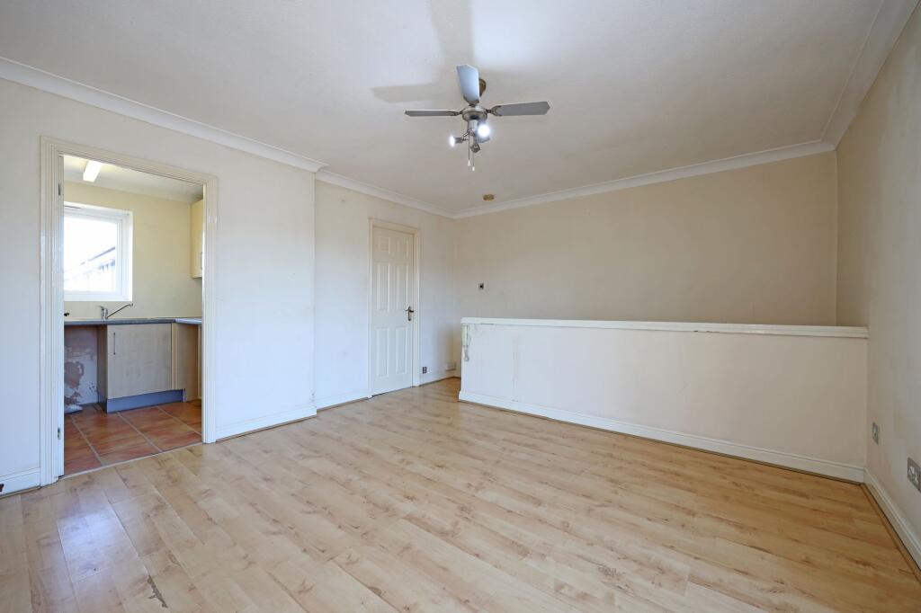
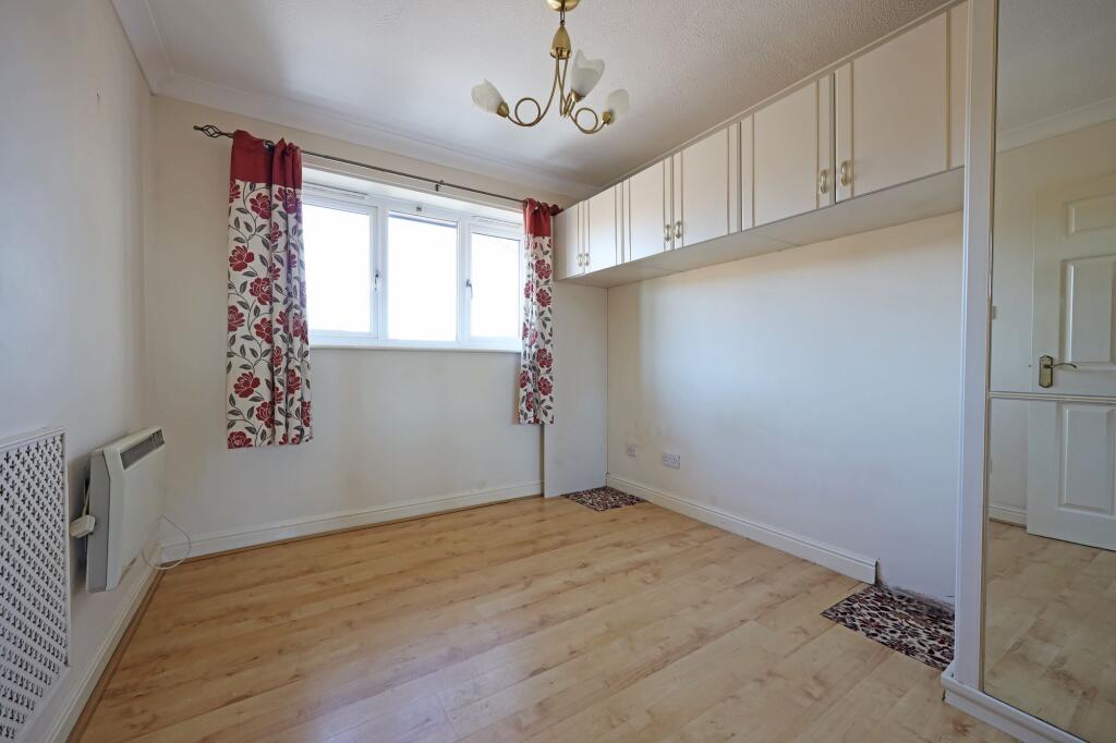
Based on the images provided, the property appears to be in generally good condition, although some minor cosmetic work may be needed in certain areas (such as patching some damaged walls). The kitchen and bathroom appear functional but could benefit from some modernisation. The flooring and walls are in fair condition. There are no major signs of significant damage or disrepair.
Considering the list price of £120,000, the average price in the area is significantly higher (£274,629), and the average price per sqft is £293. This property is much lower than the average price for the area, and this could be due to its smaller size (505.90 sqft) and lack of outdoor space. Compared to nearby listings, the price appears to be at the lower end of the market for similar properties in the area. However, the lack of plot size information for comparable properties makes a precise comparison difficult. The property’s price may reflect its smaller size and lack of a garden.
Therefore, we give this property 5 / 10. *Disclaimer: This is our option and does constitute a recommendation or financial advice. Do your own research. *
- Price
- 7
- Condition
- 7
- Location
- 6
- Land
- 1
- Bedrooms
- 2
- Bathrooms
- 1
- Sqft (est)
- 505.90
The heatmap indicates the level of crime in the area. The color of the heatmap indicates the crime severity and recency.
Metrics Year-on-Year
- Average area value
- 318,750.00 £Increased by 14.94 %
- Est sale value
- 143,675.60 £Increased by 21.37 %
- Average area rental value
- 1,256.00 £/moIncreased by 2.28 %
- Est letting value
- 505.90 £/moUnchanged by 0.00 %
- Est rental Yield
- 4.73 %Decreased by 10.92 %
- Crime Rate
- 11.00 %Unchanged by 0.00 %
Agent Activity
Follwells Ltd created the listing.
Nearby Schools
| Name | Type | Ofsted | Distance |
|---|---|---|---|
| Cedars - Newcastle, Moorlands And Darwin Bases | Pupil Referral Unit | Good | 0.58 KM |
| Pace Education | Other Independent Special School | Good | 0.61 KM |
| Oaklands Nursery School | Local Authority Nursery School | Outstanding | 0.72 KM |
| The Orme Academy | Academy Sponsor Led | Requires improvement | 0.85 KM |
| Merryfields School | Academy Special Converter | Good | 1.01 KM |
Images


Nearby Streets
| Name | Average Price | Average Sqft | Distance |
|---|---|---|---|
| Chetwynd Road | £ 179,950 | 0 | 0.00 KM |
| Saint George's Avenue South | £ 240,000 | 0 | 0.00 KM |
| Beaconsfield | £ 215,000 | 0 | 0.00 KM |
| Wellington Street | £ 0 | 0 | 0.00 KM |
| George Street | £ 0 | 0 | 0.00 KM |
Nearby Transport
| Name | NLC | TLC | Distance |
|---|---|---|---|
| Longport | 1305 | LPT | 1.35 KM |
| Stoke-On-Trent | 1314 | SOT | 5.76 KM |
| Kidsgrove | 1229 | KDG | 6.19 KM |
Nearby Listings
| Address | Price | Type | Score | Distance |
|---|---|---|---|---|
| Loring Road, Tudor Court Loring Road, ST5 | £ 120,000 | BUY | 5 / 10 | 0.00 KM |
| Watlands View, Porthill, Newcastle | £ 125,000 | BUY | 7 / 10 | 0.06 KM |
| Watlands View, Porthill, Newcastle | £ 130,000 | BUY | 6 / 10 | 0.07 KM |
| Dimsdale View East, Newcastle, Staffordshire, ST5 | £ 120,000 | BUY | 6 / 10 | 0.08 KM |
| Clarence Street, Wolstanton, Newcastle | £ 130,000 | BUY | 7 / 10 | 0.10 KM |
Nearby Properties
| Address | Price | Distance |
|---|---|---|
| 36 Watlands View | £ 76,000 | 0.04 KM |
| 52 Watlands View | £ 52,500 | 0.04 KM |
| 58 Watlands View | £ 78,950 | 0.04 KM |
| 42 Watlands View | £ 87,995 | 0.04 KM |
| 44 Watlands View | £ 101,000 | 0.04 KM |