HA
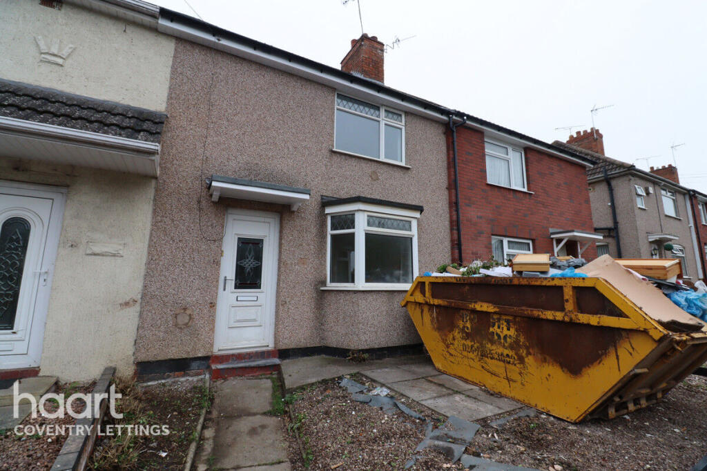
Uplands, Coventry
By haart
£ 1,195
haart says ..
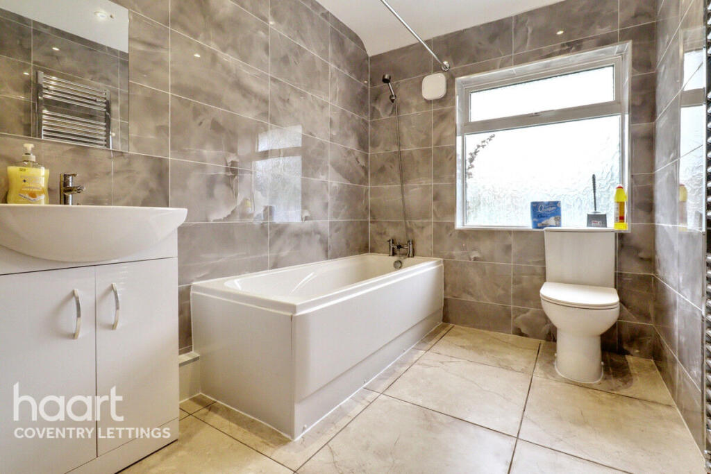
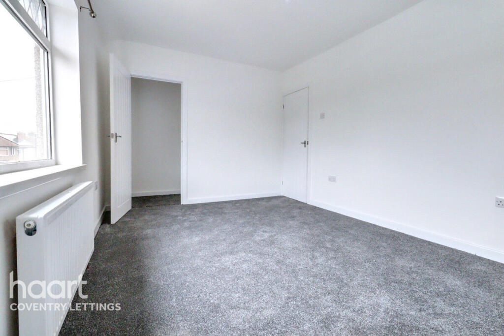
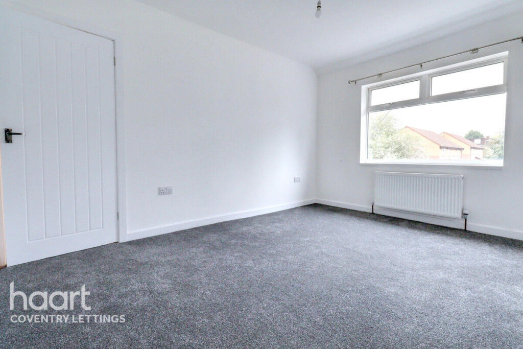
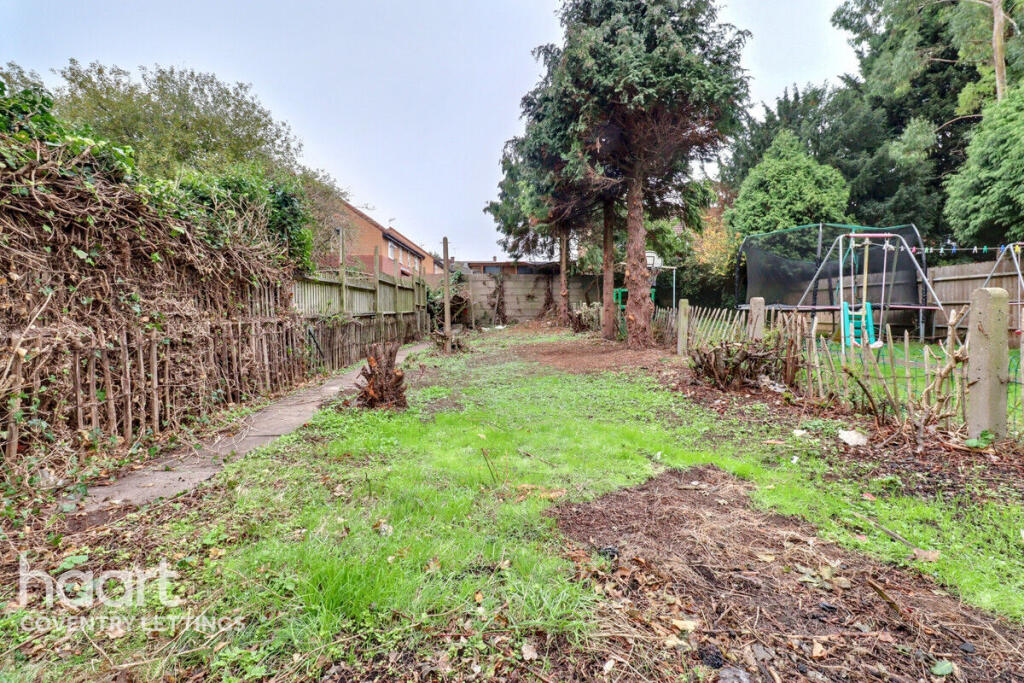
This stunning two-bedroom property
- Bedrooms
- 2
- Bathrooms
- 1
The heatmap indicates the level of crime in the area. The color of the heatmap indicates the crime severity and recency.
Metrics Year-on-Year
- Average area value
- 228,749.00 £Increased by 10.12 %
- Average area rental value
- 1,013.00 £/moIncreased by 0.30 %
- Est rental Yield
- 5.31 %Decreased by 8.92 %
- Crime Rate
- 5.00 %Unchanged by 0.00 %
from 207,733.00 £
from 1,010.00 £/mo
from 5.83 %
from 5.00 %
Agent Activity
haart created the listing.
Nearby Schools
| Name | Type | Ofsted | Distance |
|---|---|---|---|
| Stoke Heath Children'S Centre | Children's Centre | 0.46 KM | |
| Stoke Heath Primary School | Community School | Good | 0.48 KM |
| Stoke Primary School | Community School | Good | 0.62 KM |
| Stoke Park School | Academy Sponsor Led | 0.84 KM | |
| Frederick Bird Primary School | Community School | Requires improvement | 1.01 KM |
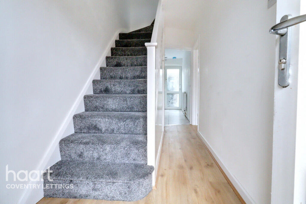
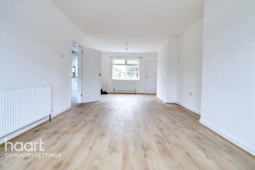
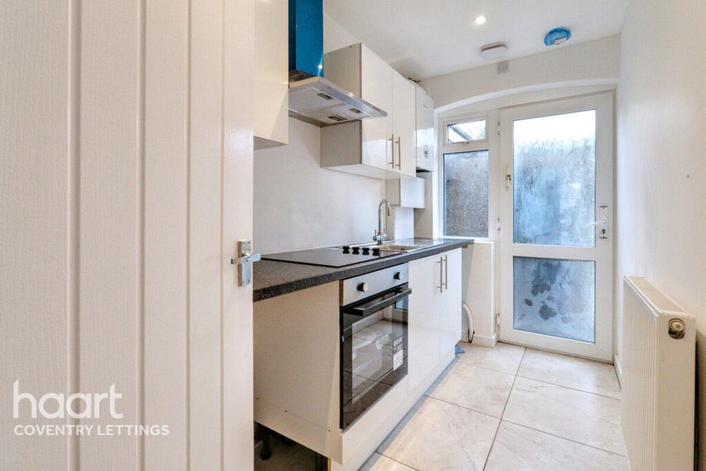
Images
Nearby Streets
| Name | Average Price | Average Sqft | Distance |
|---|---|---|---|
| Salford Close | £ 0 | 0 | 0.00 KM |
| Barton's Meadow | £ 185,000 | 0 | 0.00 KM |
| Beckett Road | £ 135,000 | 0 | 0.00 KM |
| Heath Crescent | £ 0 | 0 | 0.00 KM |
| Samuel Road | £ 0 | 0 | 0.00 KM |
Nearby Transport
| Name | NLC | TLC | Distance |
|---|---|---|---|
| Coventry Arena | 7416 | CAA | 3.57 KM |
| Coventry | 1030 | COV | 4.24 KM |
| Bedworth | 1165 | BEH | 6.84 KM |
| Canley | 1129 | CNL | 7.82 KM |
| Bermuda Park | 6543 | BEP | 9.21 KM |
Nearby Listings
| Address | Price | Type | Score | Distance |
|---|---|---|---|---|
| Uplands, Coventry | £ 1,195 | RENT | Unknown | 0.00 KM |
| Room 1, North Street, Stoke, Coventry, CV2 3FT | £ 410 | RENT | Unknown | 0.15 KM |
| Room 2, North Street, Stoke, Coventry, CV2 3FT | £ 410 | RENT | Unknown | 0.15 KM |
| North Street, Coventry, West Midlands, CV2 | £ 1,199 | RENT | Unknown | 0.18 KM |
| North Street, Upper Stoke, Coventry | £ 1,200 | RENT | Unknown | 0.18 KM |
Nearby Properties
| Address | Price | Distance |
|---|---|---|
| 33 Alliance Way | £ 75,000 | 0.05 KM |
| 29 Alliance Way | £ 95,000 | 0.05 KM |
| 15 Alliance Way | £ 137,000 | 0.05 KM |
| 21 Alliance Way | £ 119,000 | 0.05 KM |
| 59 Alliance Way | £ 112,000 | 0.05 KM |