HA
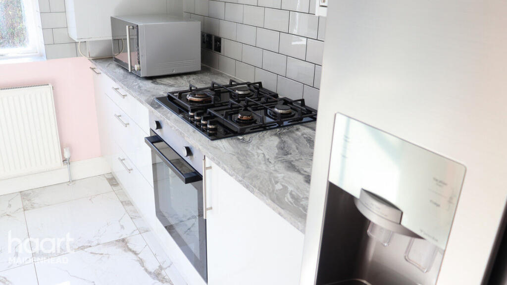
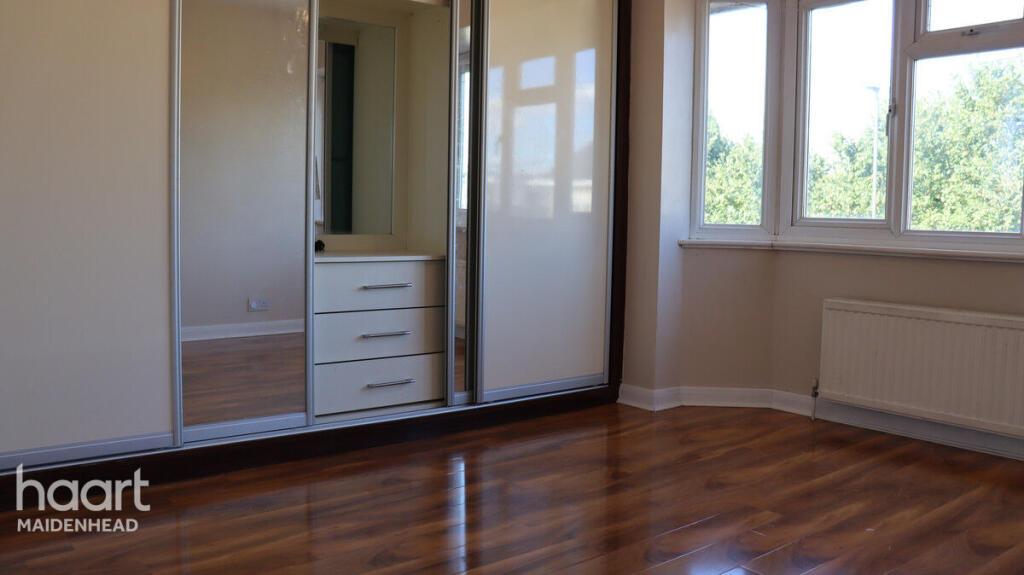
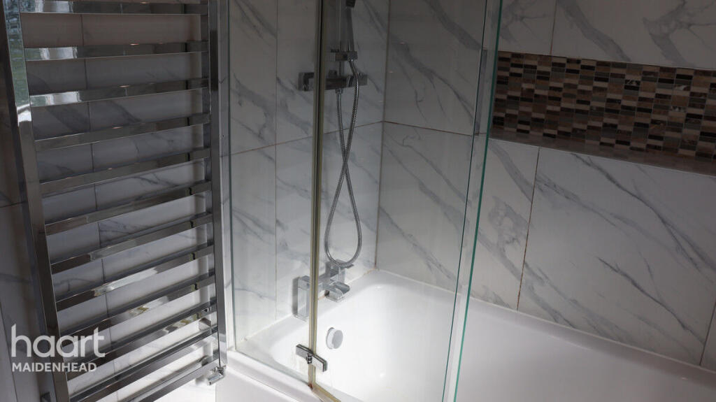
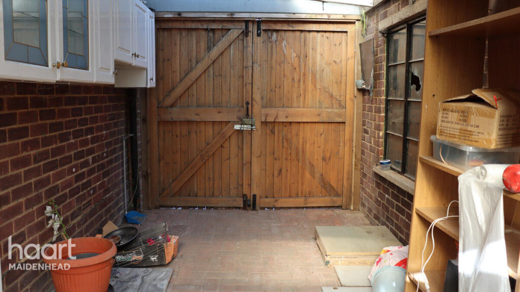
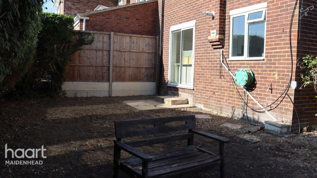
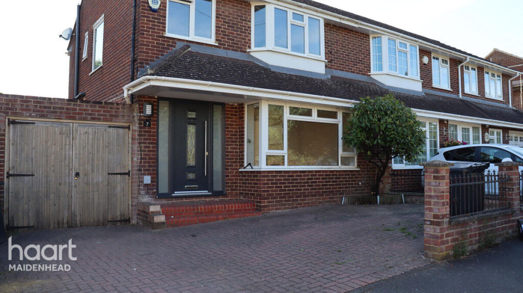
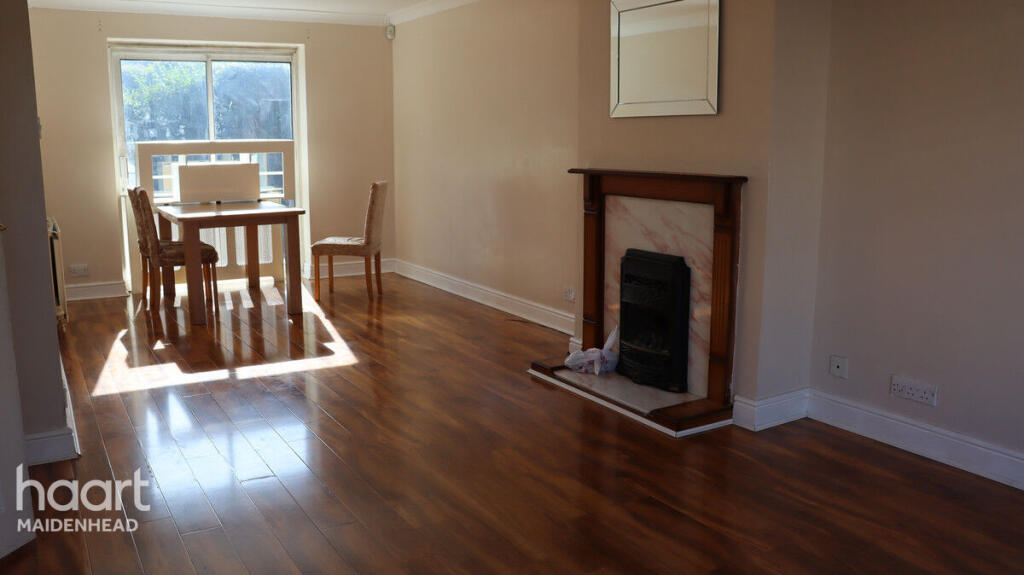
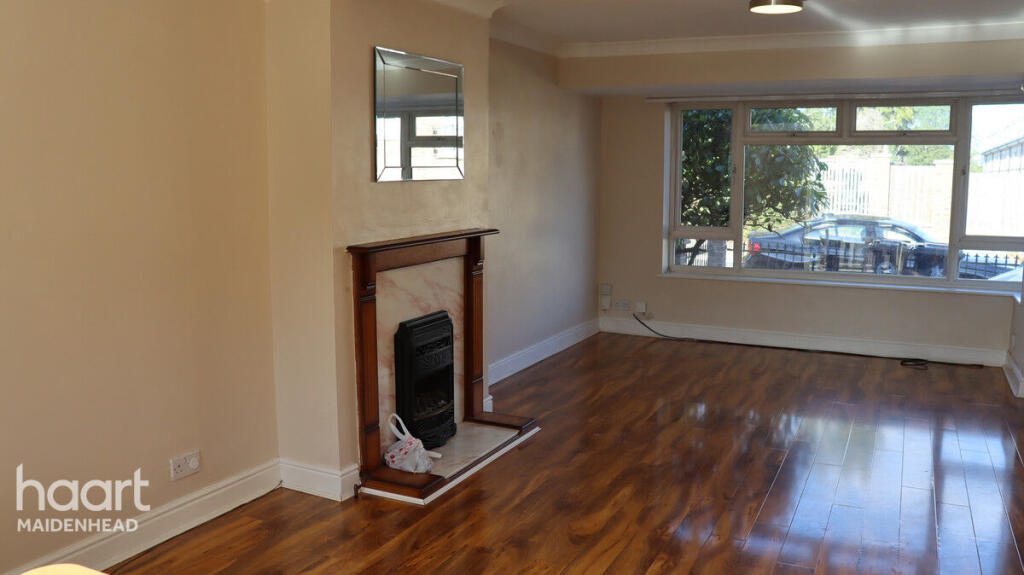
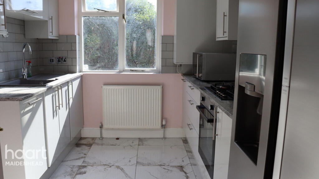
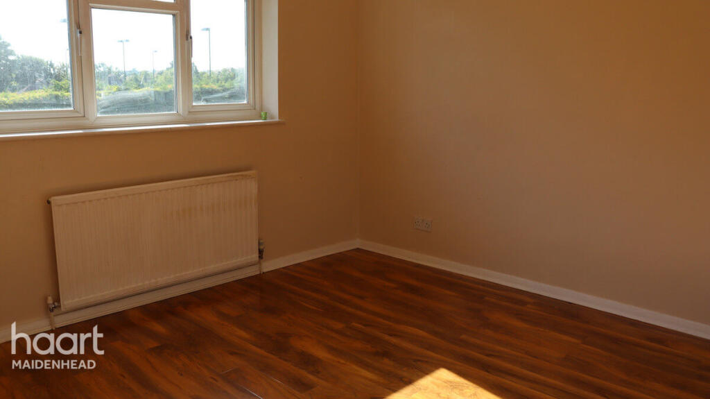
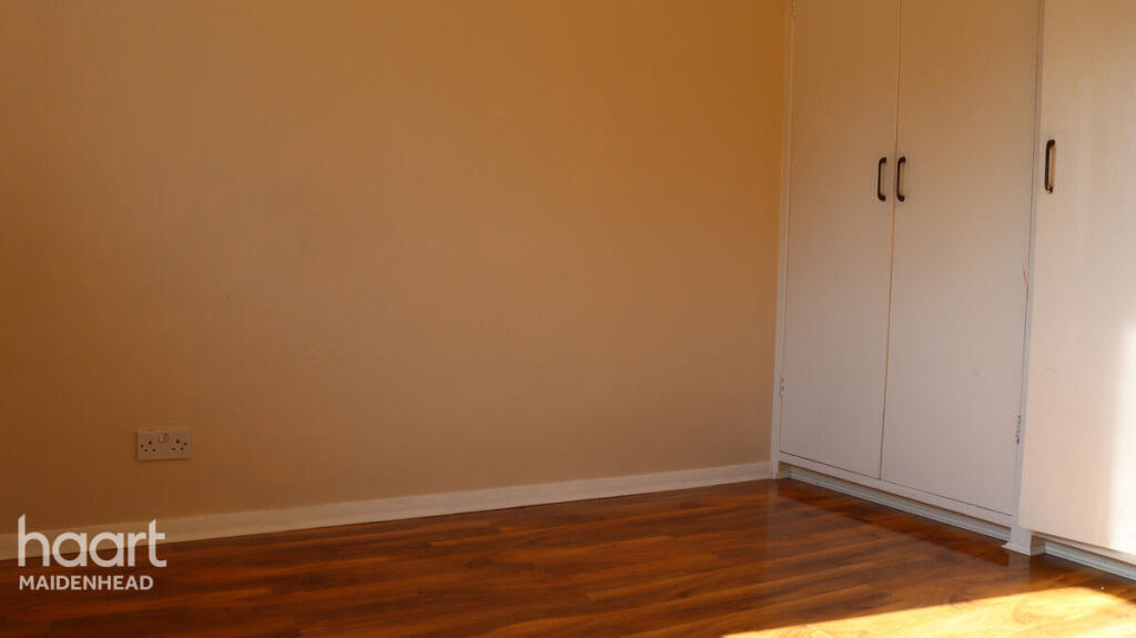
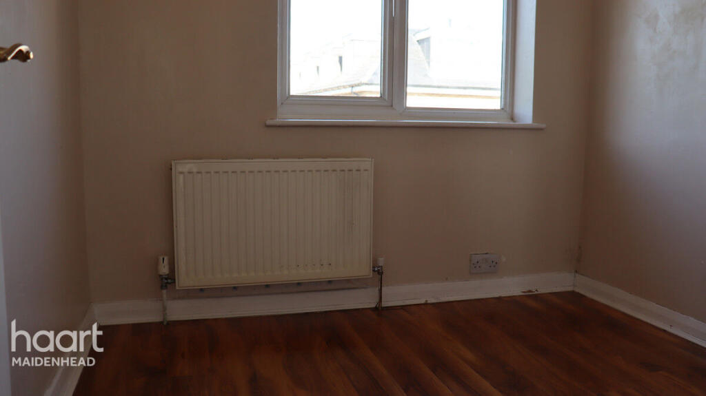
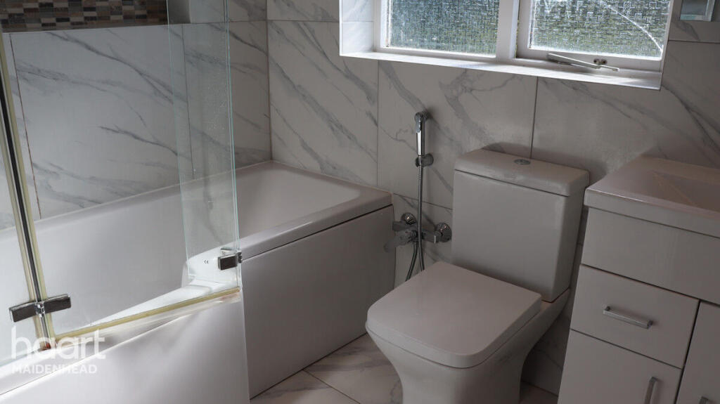
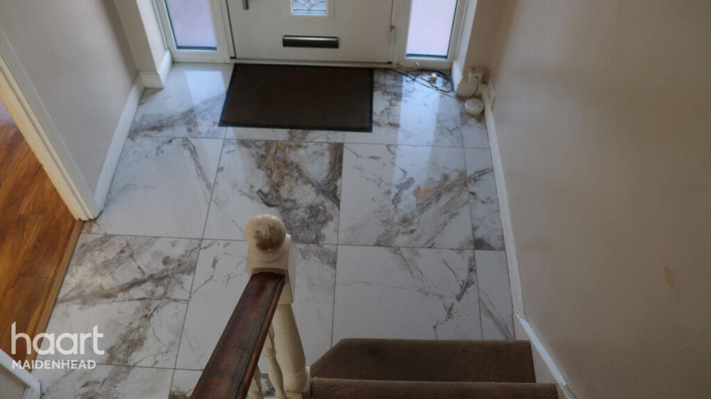
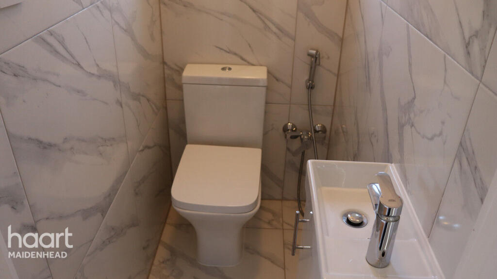
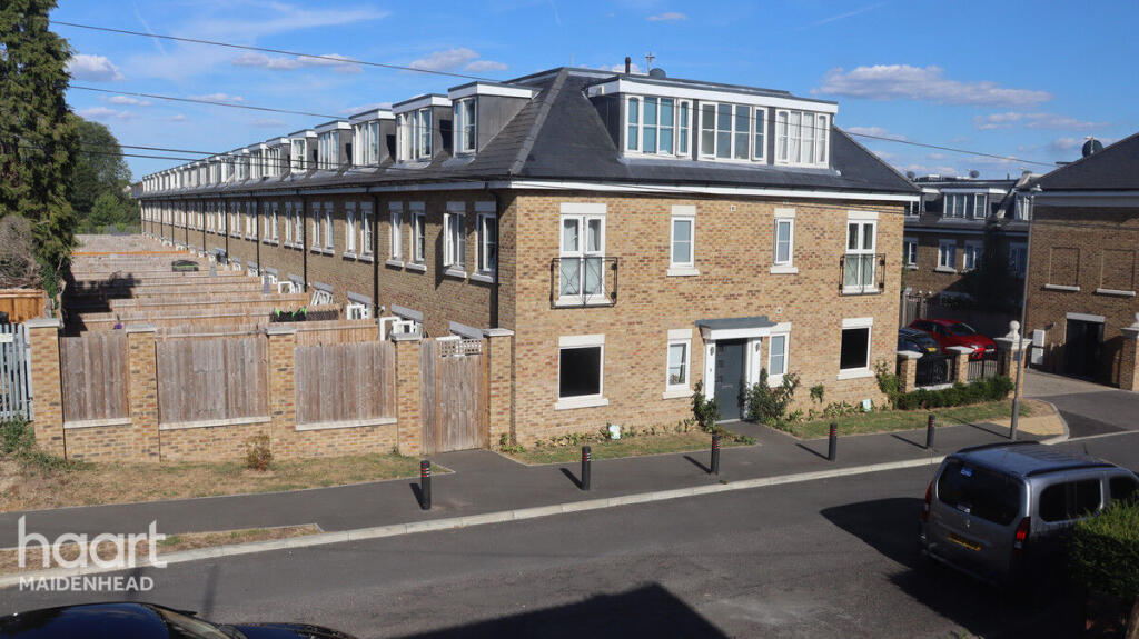
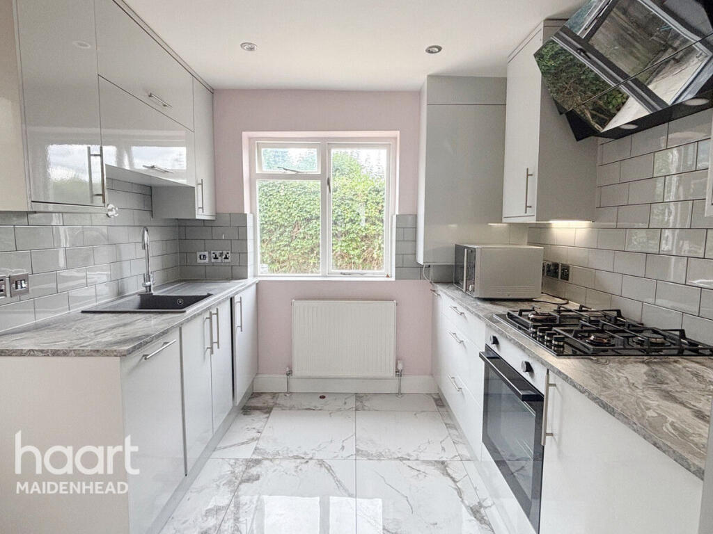
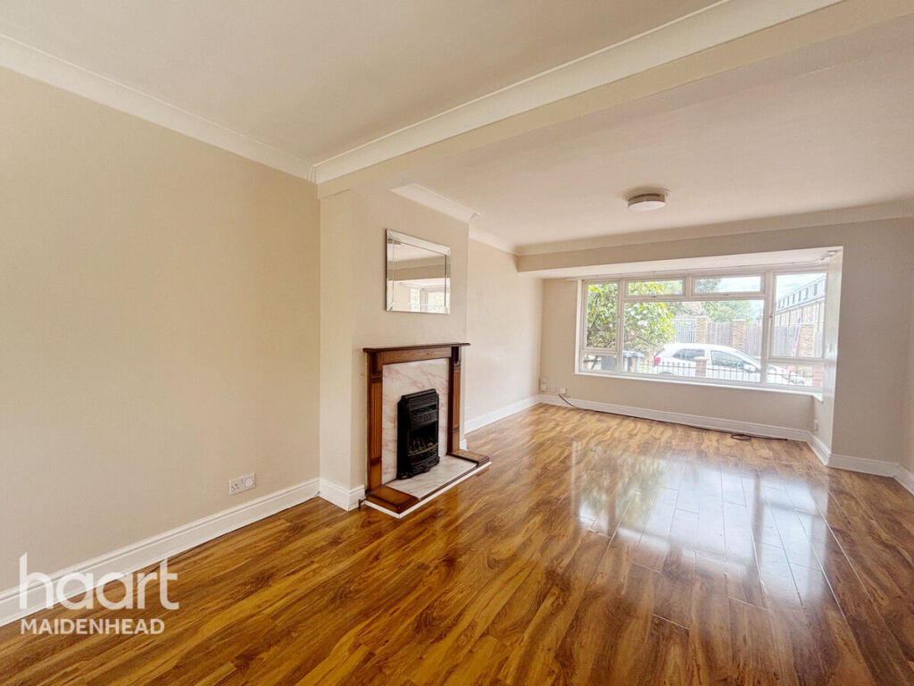
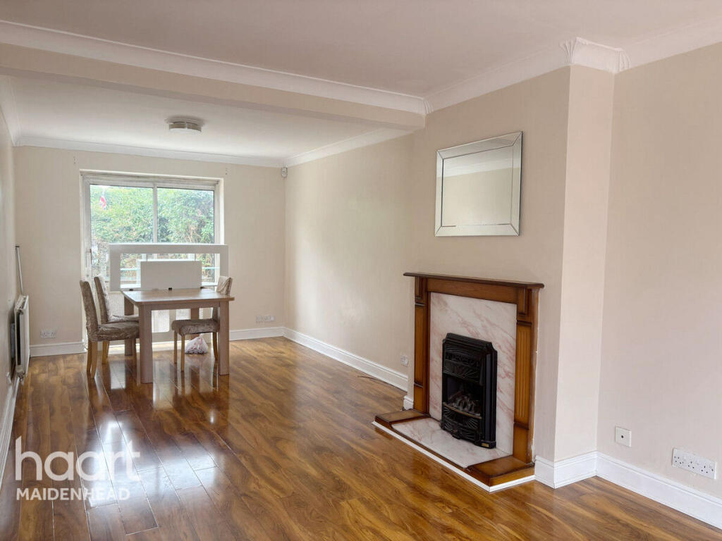
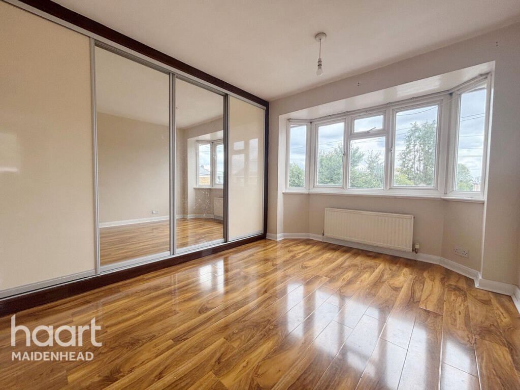
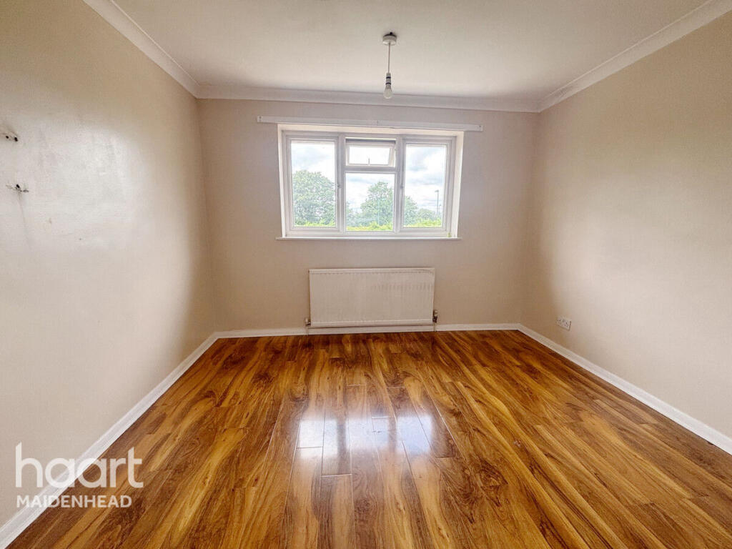
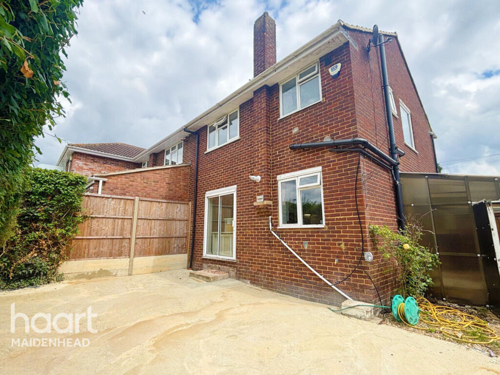
Opendale Road, SLOUGH
By haart
£ 2,000
haart says ..
**NO DEPOSIT OPTION AVAILABLE**
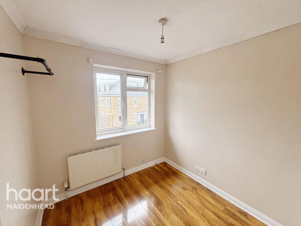
- Bedrooms
- 3
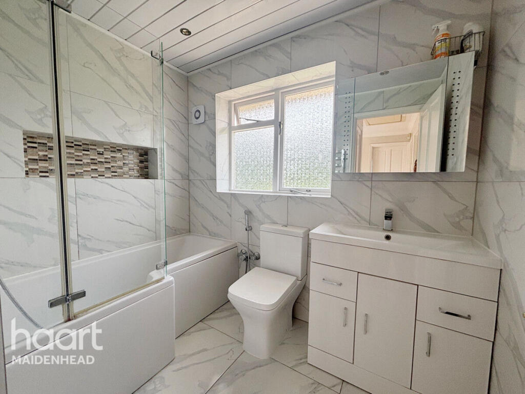
- Bathrooms
- 1
The heatmap indicates the level of crime in the area. The color of the heatmap indicates the crime severity and recency.
Metrics Year-on-Year
- Average area value
- 817,143.00 £Increased by 53.84 %
- Average area rental value
- 1,640.00 £/moDecreased by 18.93 %
- Est rental Yield
- 2.41 %Decreased by 47.26 %
- Crime Rate
- 4.00 %Unchanged by 0.00 %
from 531,149.00 £
from 2,023.00 £/mo
from 4.57 %
from 4.00 %
Agent Activity
haart created the listing.
Nearby Schools
| Name | Type | Ofsted | Distance |
|---|---|---|---|
| Lent Rise School | Academy Converter | Good | 0.43 KM |
| Burnham Family Centre | Children's Centre | 0.72 KM | |
| St Peter'S Church Of England Primary School | Voluntary Aided School | Good | 0.72 KM |
| Our Lady Of Peace Catholic Primary And Nursery School | Voluntary Aided School | Good | 0.87 KM |
| Priory School | Foundation School | Good | 1.04 KM |
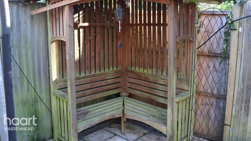
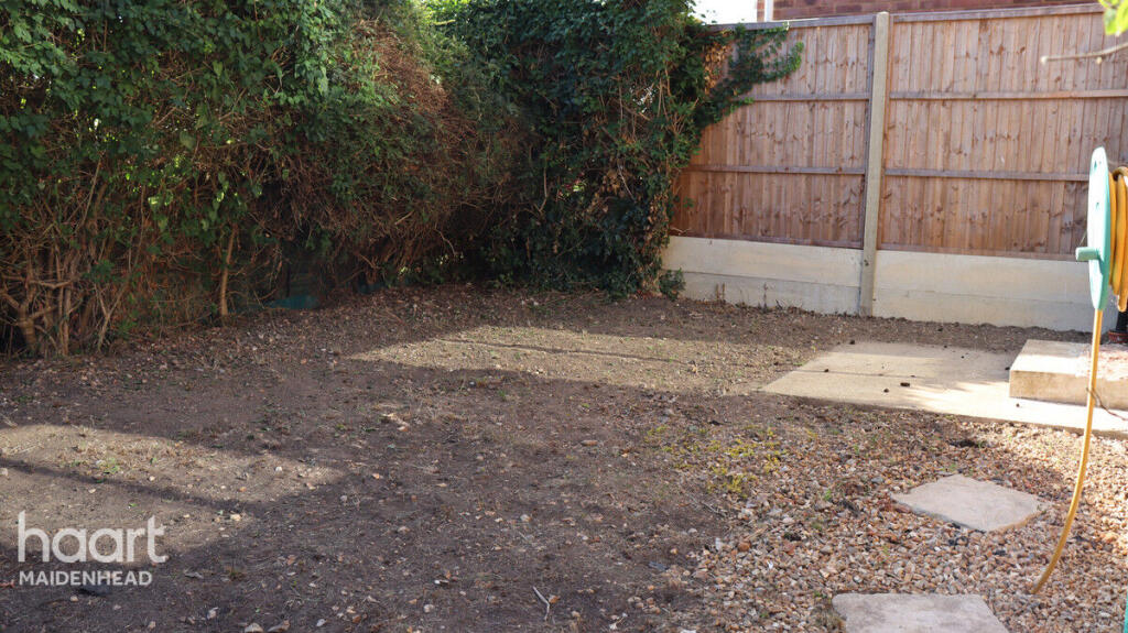
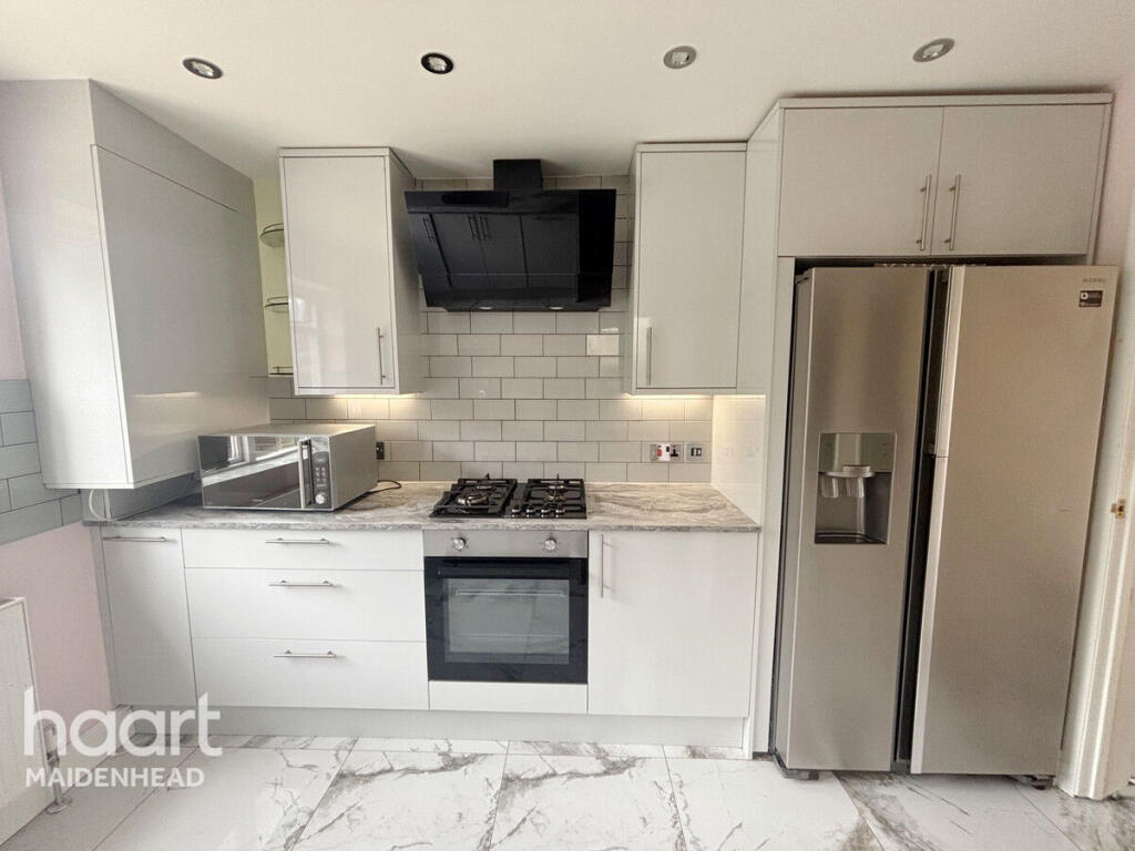
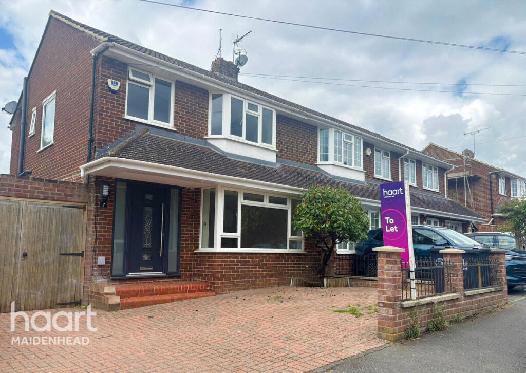
Images

Nearby Streets
| Name | Average Price | Average Sqft | Distance |
|---|---|---|---|
| Hamilton Gardens | £ 883,750 | 0 | 0.00 KM |
| High Street | £ 0 | 0 | 0.00 KM |
| Bosworth court | £ 0 | 0 | 0.00 KM |
| Wyeth Close | £ 600,000 | 0 | 0.00 KM |
| Baldwin Road | £ 450,000 | 0 | 0.00 KM |
Nearby Transport
| Name | NLC | TLC | Distance |
|---|---|---|---|
| Burnham | 3176 | BNM | 1.83 KM |
| Taplow | 3151 | TAP | 2.16 KM |
| Maidenhead | 3147 | MAI | 6.75 KM |
| Furze Platt | 3144 | FZP | 7.34 KM |
| Cookham | 3019 | COO | 7.38 KM |
Nearby Listings
| Address | Price | Type | Score | Distance |
|---|---|---|---|---|
| Opendale Road, SLOUGH | £ 2,000 | RENT | Unknown | 0.00 KM |
| Opendale Road, Buenham, Buckinghamshire, SL1 7LY | £ 2,000 | RENT | Unknown | 0.02 KM |
| Burnham Court, Stomp Road, Burnham, SL1 | £ 1,350 | RENT | Unknown | 0.10 KM |
| Burnham | £ 925 | RENT | Unknown | 0.15 KM |
| Aldbourne Road, Burnham, SL1 | £ 1,700 | RENT | Unknown | 0.22 KM |
Nearby Properties
| Address | Price | Distance |
|---|---|---|
| 102 Stomp Road | £ 314,000 | 0.11 KM |
| 116 Stomp Road | £ 91,950 | 0.11 KM |
| 110 Stomp Road | £ 325,000 | 0.11 KM |
| 112 Stomp Road | £ 425,000 | 0.11 KM |
| 106 Stomp Road | £ 360,000 | 0.11 KM |