HA
Wallis Avenue, Bedford
By haart
£ 1,500
haart says ..
2 WEEKS RENT FREE TO MOVE IN BY 09/01/26
- Bedrooms
- 3
- Bathrooms
- 2
The heatmap indicates the level of crime in the area. The color of the heatmap indicates the crime severity and recency.
Metrics Year-on-Year
- Average area value
- 339,167.00 £Increased by 18.01 %
- Average area rental value
- 1,246.00 £/moIncreased by 12.35 %
- Est rental Yield
- 4.41 %Decreased by 4.75 %
- Crime Rate
- 0.00 %
from 287,403.00 £
from 1,109.00 £/mo
from 4.63 %
from 0.00 %
Agent Activity
haart created the listing.
Nearby Schools
| Name | Type | Ofsted | Distance |
|---|---|---|---|
| Shortstown Primary School | Academy Converter | Good | 1.51 KM |
| Eastcotts Cc (Bedford Borough) | Children's Centre | 1.51 KM | |
| Cotton End Forest School | Community School | Good | 1.72 KM |
| Sheerhatch Primary School | Community School | Requires improvement | 3.47 KM |
| Kws School | Other Independent School | Good | 3.52 KM |
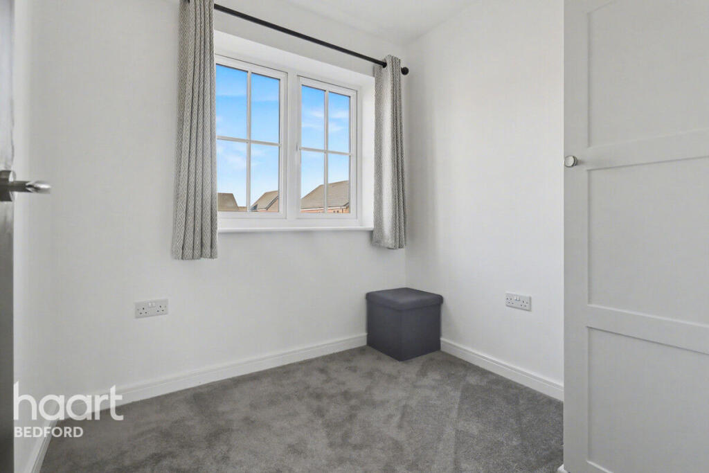
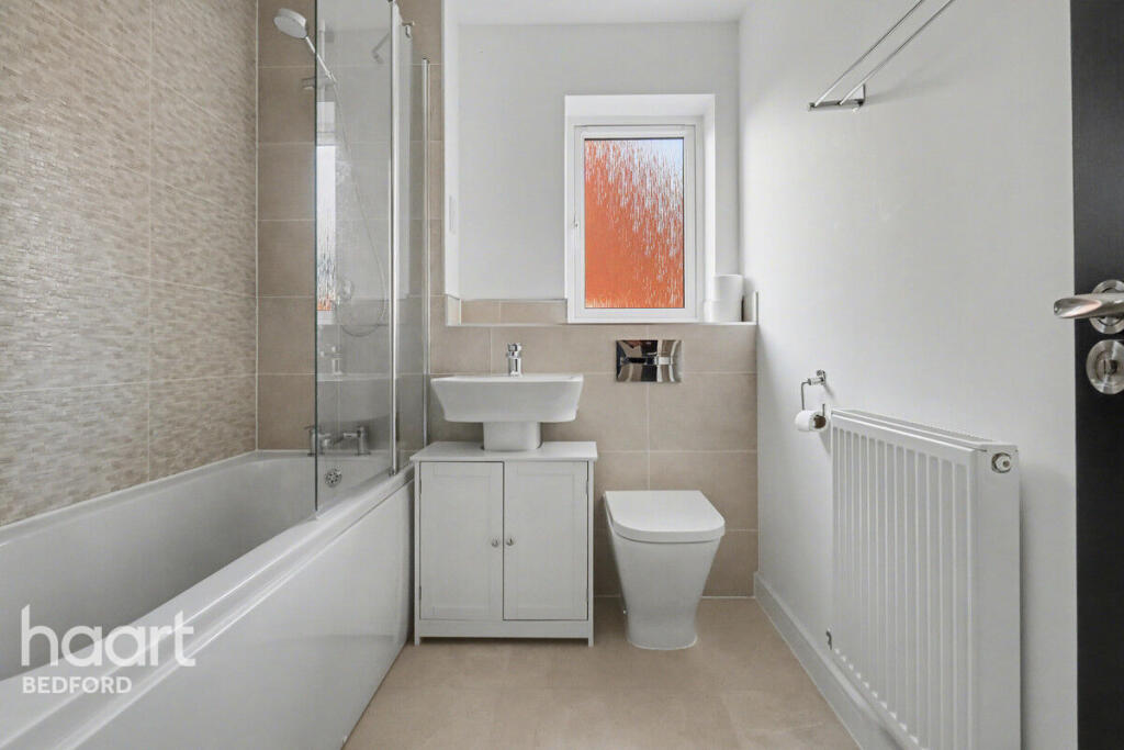
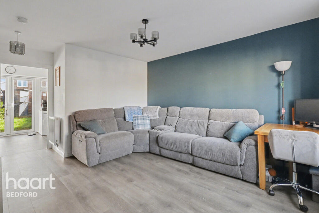
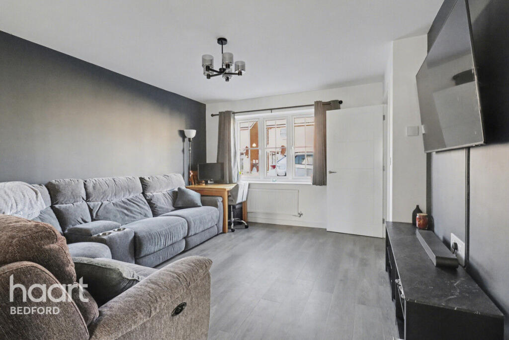
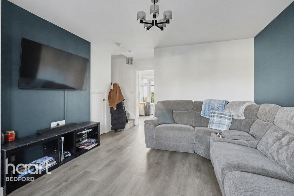
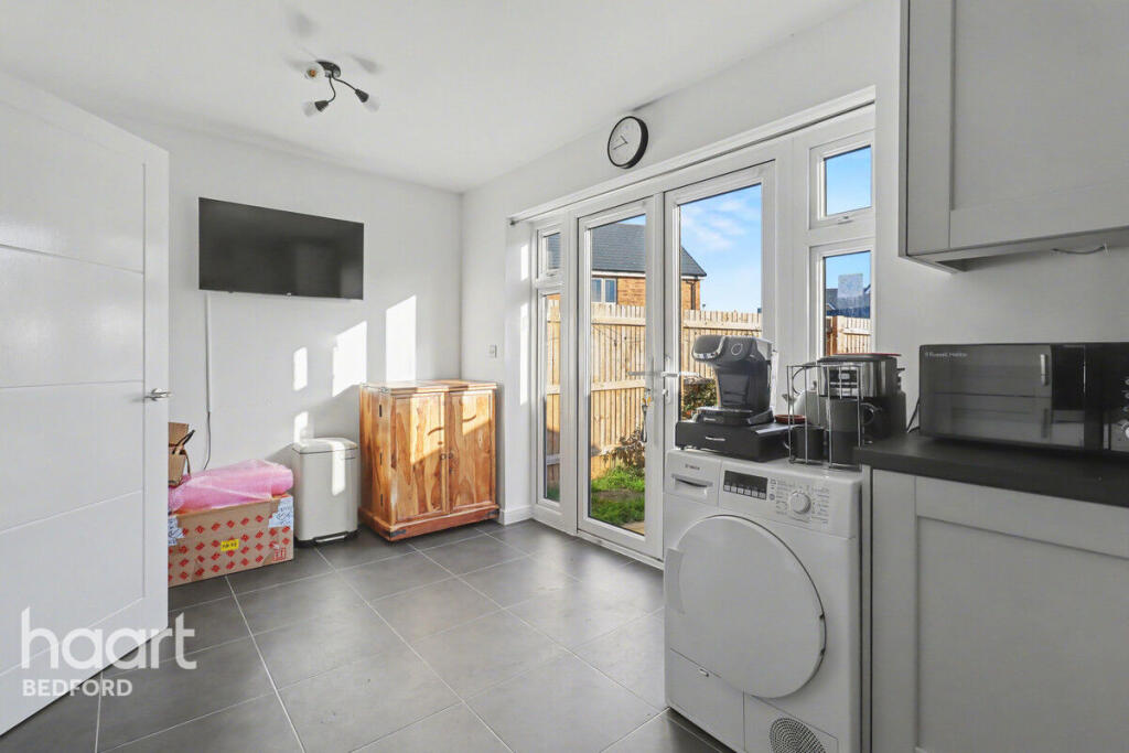
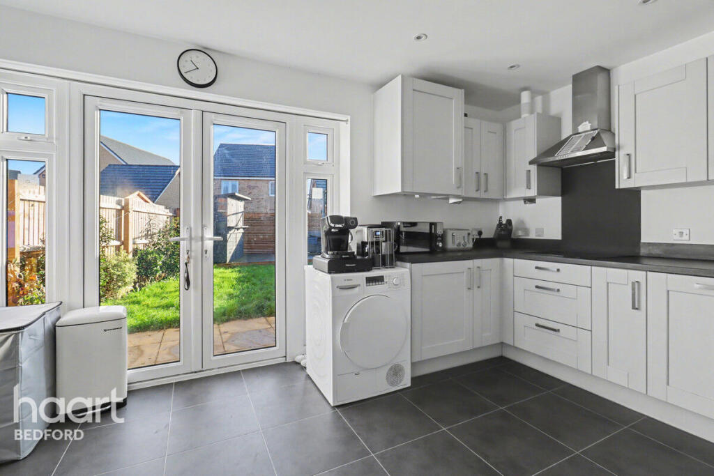
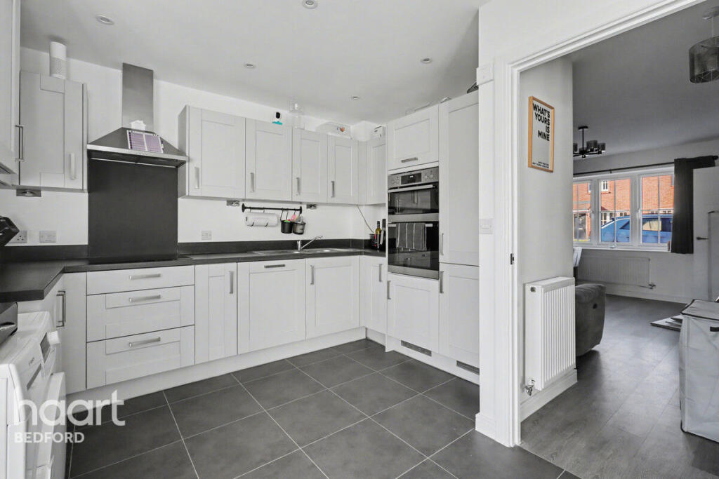
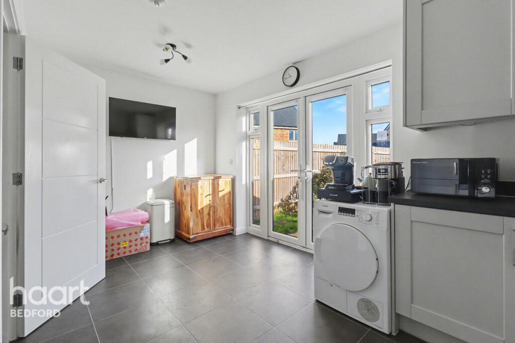
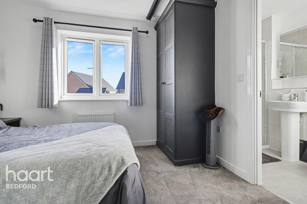
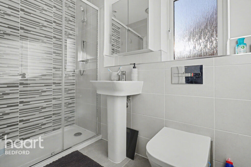
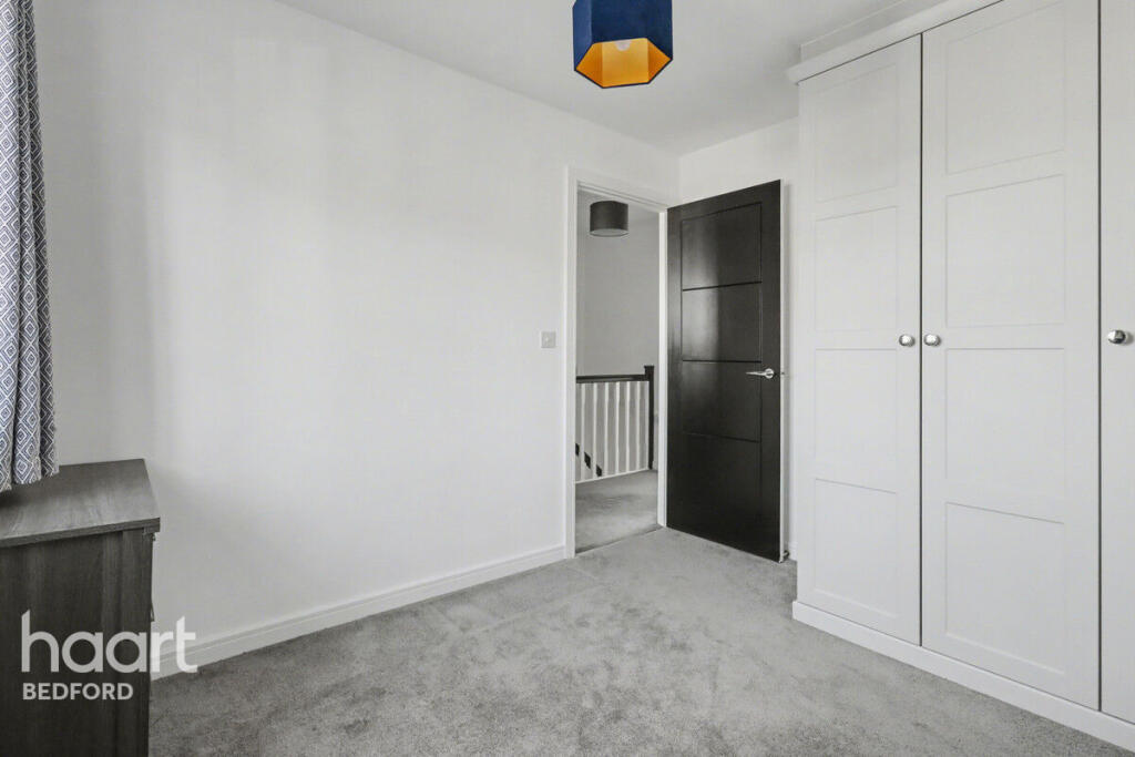
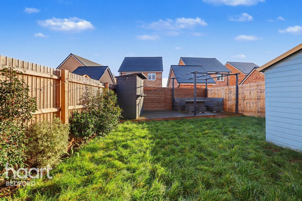
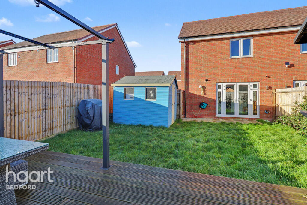
Images


Nearby Streets
| Name | Average Price | Average Sqft | Distance |
|---|---|---|---|
| Wallis Avenue | £ 0 | 0 | 0.00 KM |
| Aviation Way | £ 0 | 0 | 0.00 KM |
| Cackett Way | £ 0 | 0 | 0.00 KM |
| Blake's Boulevard | £ 0 | 0 | 0.00 KM |
| Mason Road | £ 0 | 0 | 0.00 KM |
Nearby Transport
| Name | NLC | TLC | Distance |
|---|---|---|---|
| Bedford St Johns | 1510 | BSJ | 5.92 KM |
| Bedford | 1512 | BDM | 7.42 KM |
| Kempston Hardwick | 1384 | KMH | 9.79 KM |
Nearby Listings
| Address | Price | Type | Score | Distance |
|---|---|---|---|---|
| Wallis Avenue, Bedford | £ 1,500 | RENT | Unknown | 0.00 KM |
| Blakes Boulevard, Bedford, MK42 | £ 1,900 | RENT | Unknown | 0.14 KM |
| Shortstown, MK42 | £ 2,000 | RENT | Unknown | 0.14 KM |
| Shortstown, MK42 | £ 1,600 | RENT | Unknown | 0.14 KM |
| Mason Road, Shortstown, BEDFORD | £ 1,600 | RENT | Unknown | 0.14 KM |
Nearby Properties
| Address | Price | Distance |
|---|---|---|
| 6 Holm Oak Green | £ 650,000 | 0.79 KM |
| The Orchard House | £ 95,000 | 0.80 KM |
| 9 Holm Oak Green | £ 415,000 | 0.80 KM |
| 4 Holm Oak Green | £ 413,000 | 0.80 KM |
| 7 Holm Oak Green | £ 550,000 | 0.80 KM |