
TE
Lilleshall, Newport
By Tempertons
£ 5,700
Tempertons says ..
No summary available.
- Bedrooms
- 0
- Bathrooms
- 0
The heatmap indicates the level of crime in the area. The color of the heatmap indicates the crime severity and recency.
Metrics Year-on-Year
- Average area value
- 243,278.00 £Decreased by 3.15 %
- Average area rental value
- 1,186.00 £/moIncreased by 12.42 %
- Est rental Yield
- 5.85 %Increased by 16.07 %
- Crime Rate
- 0.00 %
from 251,196.00 £
from 1,055.00 £/mo
from 5.04 %
from 0.00 %
Agent Activity
Tempertons created the listing.
Nearby Schools
| Name | Type | Ofsted | Distance |
|---|---|---|---|
| Lilleshall Primary School | Community School | Outstanding | 3.03 KM |
| Sheriffhales Primary School | Community School | Good | 3.08 KM |
| Church Aston Infant School | Community School | Good | 3.26 KM |
| Moorfield Primary School | Foundation School | Outstanding | 3.92 KM |
| Newport Girls' High School Academy | Academy Converter | 3.97 KM |
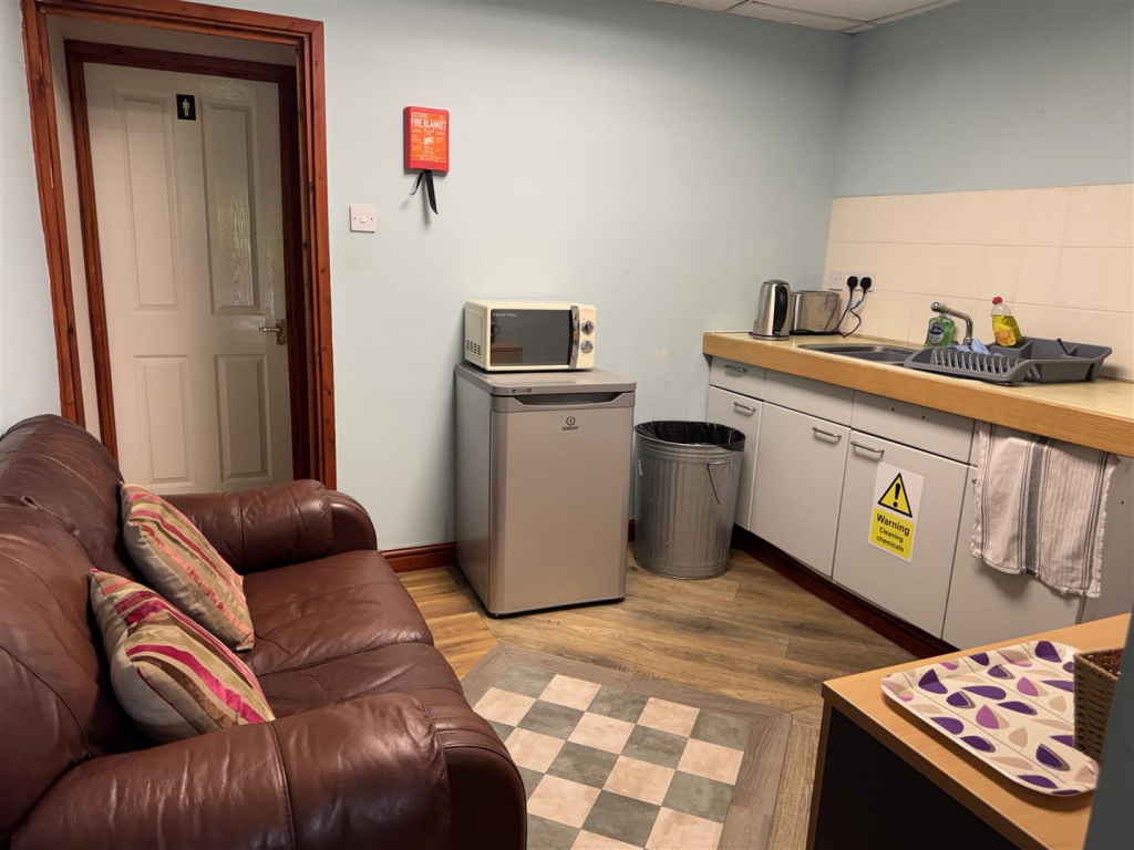
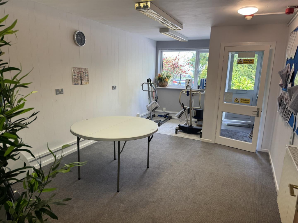
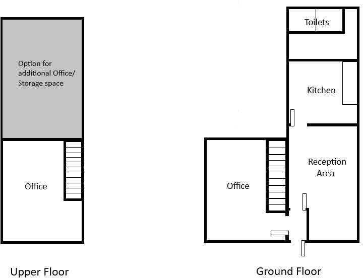
Images

Nearby Streets
| Name | Average Price | Average Sqft | Distance |
|---|---|---|---|
| Sheriffhales Drive | £ 0 | 0 | 0.00 KM |
Nearby Transport
| Name | NLC | TLC | Distance |
|---|---|---|---|
| Shifnal | 4619 | SFN | 6.92 KM |
| Telford Central | 4691 | TFC | 9.07 KM |
| Oakengates | 4689 | OKN | 9.27 KM |