RE
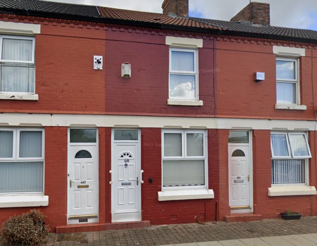
Grafton Street, Liverpool
By Rentr
£ 875
Rentr says ..
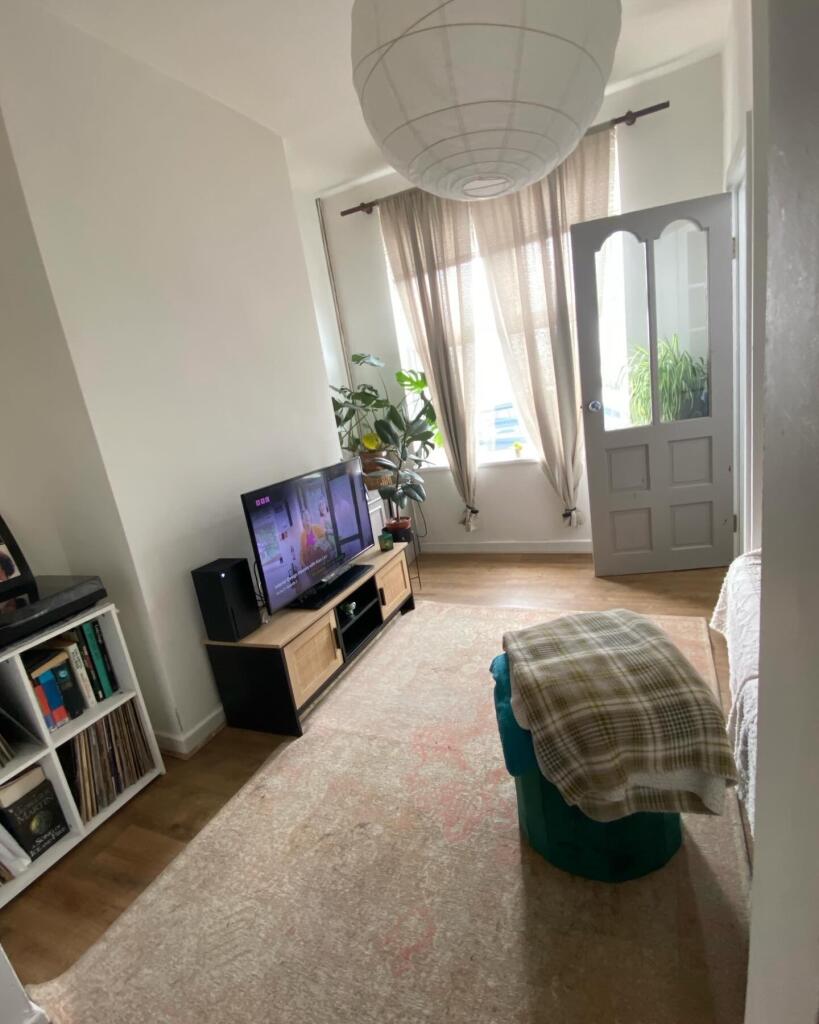
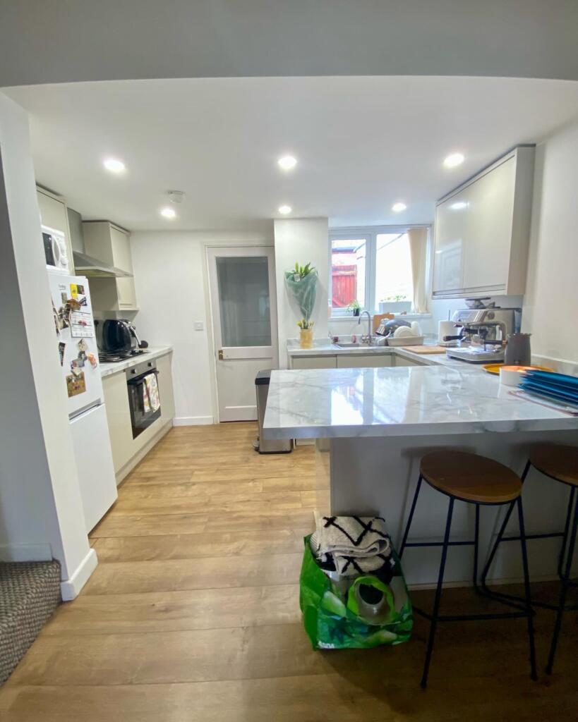
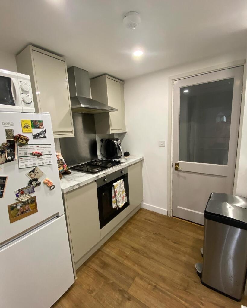
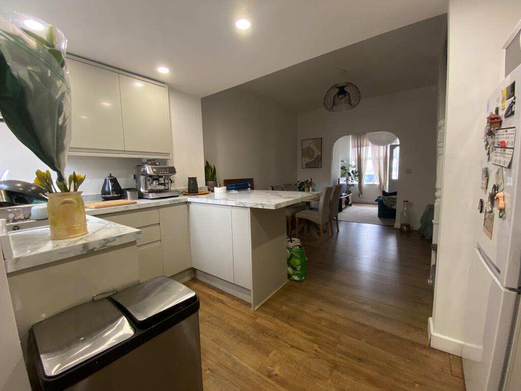
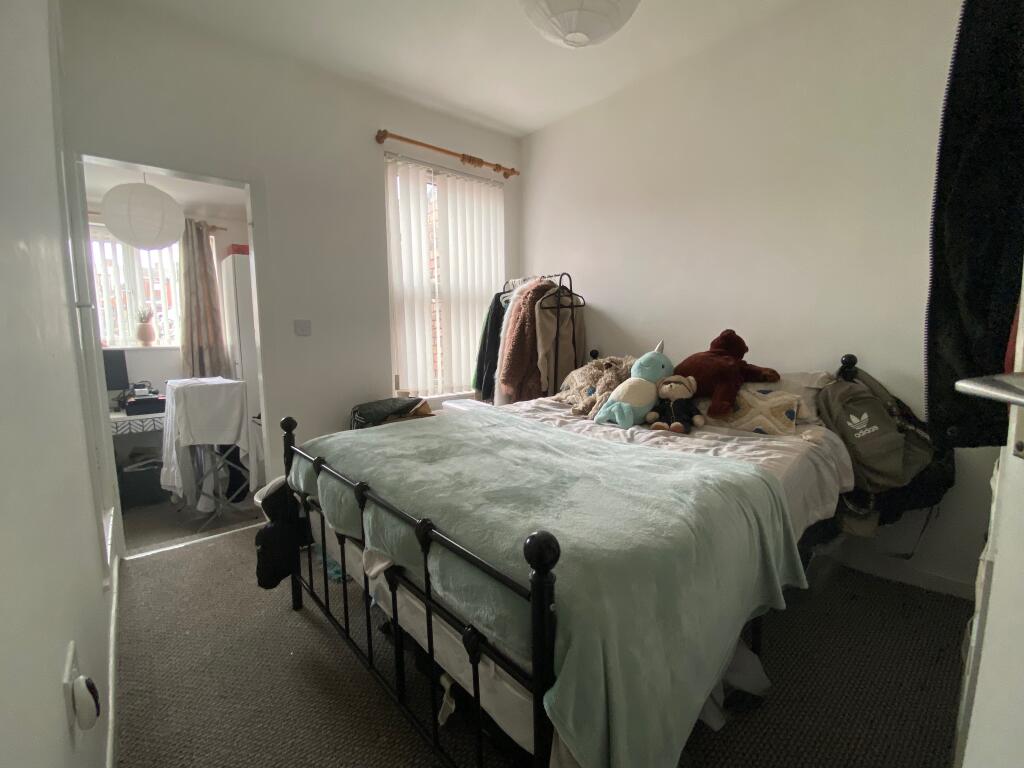
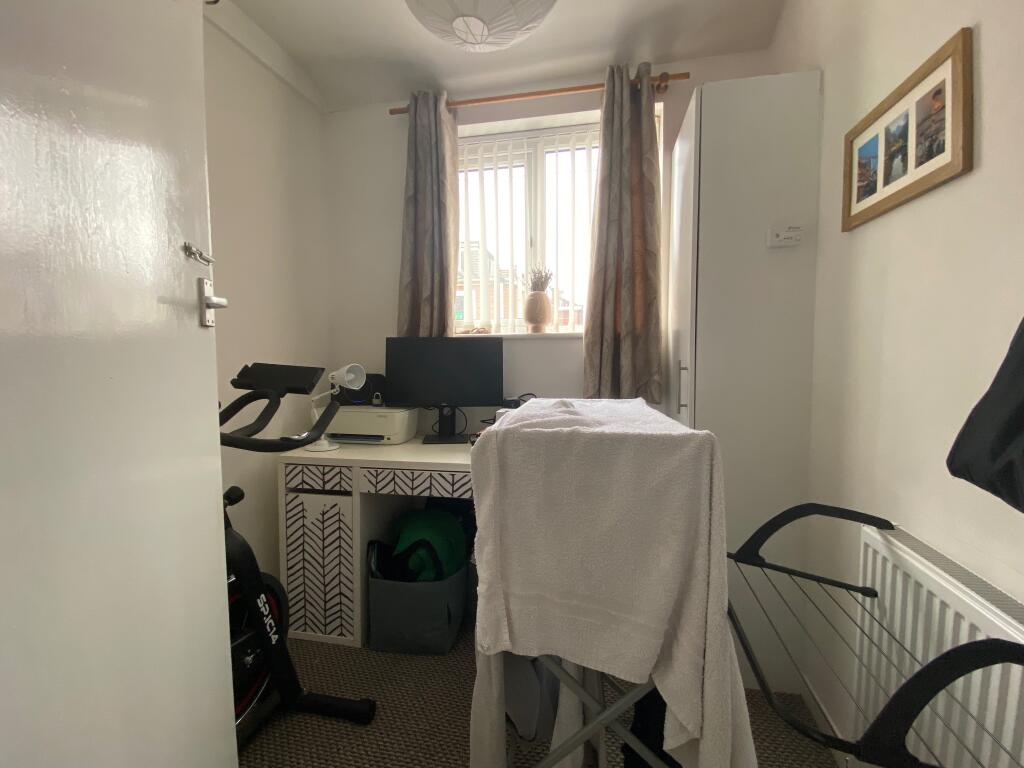
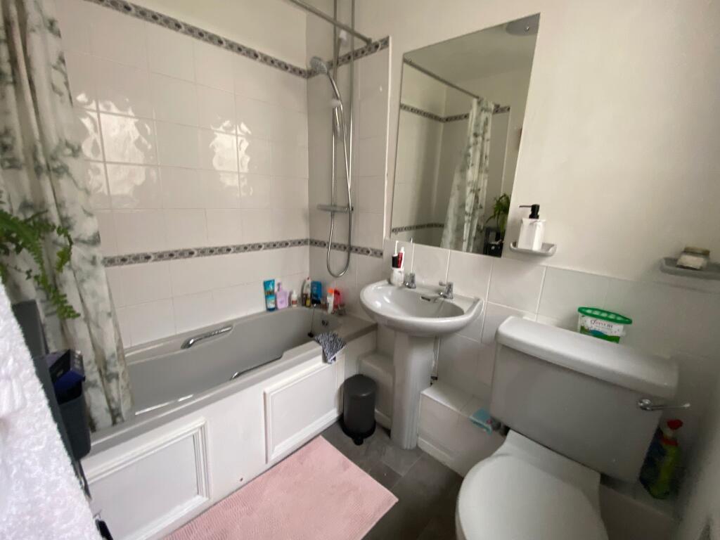
2 bedroom terraced house with bonus study room
- Bedrooms
- 2
- Bathrooms
- 1
The heatmap indicates the level of crime in the area. The color of the heatmap indicates the crime severity and recency.
Metrics Year-on-Year
- Average area value
- 277,018.00 £Decreased by 9.31 %
- Average area rental value
- 1,179.00 £/moIncreased by 1.11 %
- Est rental Yield
- 5.11 %Increased by 11.57 %
- Crime Rate
- 11.00 %Unchanged by 0.00 %
from 305,441.00 £
from 1,166.00 £/mo
from 4.58 %
from 11.00 %
Agent Activity
Rentr created the listing.
Nearby Schools
| Name | Type | Ofsted | Distance |
|---|---|---|---|
| St Cleopas' Church Of England Junior Mixed And Infant School | Voluntary Controlled School | Good | 0.37 KM |
| Dingle Lane Children'S Centre | Children's Centre | 0.60 KM | |
| Matthew Arnold Primary School | Foundation School | Good | 0.65 KM |
| St Finbar'S Catholic Primary School | Voluntary Aided School | Good | 0.67 KM |
| Aspire Centre, Kings Leadership Academy Liverpool | Free Schools Alternative Provision | 0.92 KM |
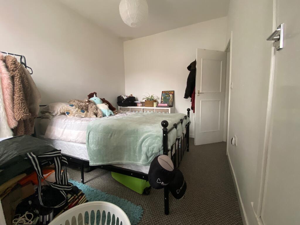
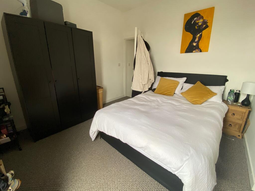
Images
Nearby Streets
| Name | Average Price | Average Sqft | Distance |
|---|---|---|---|
| Ellerman Road | £ 0 | 0 | 0.00 KM |
| Dingle Road | £ 0 | 0 | 0.00 KM |
| Elleray Drive | £ 0 | 0 | 0.00 KM |
| Stopford Street | £ 0 | 0 | 0.00 KM |
| Whalley Street | £ 75,000 | 0 | 0.00 KM |
Nearby Transport
| Name | NLC | TLC | Distance |
|---|---|---|---|
| Brunswick | 3623 | BRW | 1.10 KM |
| St Michaels | 2248 | STM | 1.62 KM |
| Liverpool Central | 2242 | LVC | 3.16 KM |
| Liverpool Lime Street | 2246 | LIV | 3.38 KM |
| Edge Hill | 2169 | EDG | 3.50 KM |
Nearby Listings
| Address | Price | Type | Score | Distance |
|---|---|---|---|---|
| Grafton Street, Liverpool | £ 875 | RENT | Unknown | 0.00 KM |
| Elswick Street, Liverpool | £ 900 | RENT | Unknown | 0.09 KM |
| Ellerman Road, Liverpool | £ 995 | RENT | Unknown | 0.10 KM |
| Ellerman Road, Riverside, Liverpool, L3 | £ 1,000 | RENT | Unknown | 0.11 KM |
| Ellerman Road, City Quay Liverpool L3 4FG | £ 975 | RENT | Unknown | 0.12 KM |
Nearby Properties
| Address | Price | Distance |
|---|---|---|
| 455 Grafton Street | £ 130,000 | 0.01 KM |
| 503 Grafton Street | £ 120,000 | 0.01 KM |
| 491 Grafton Street | £ 155,000 | 0.01 KM |
| 495 Grafton Street | £ 152,000 | 0.01 KM |
| 473 Grafton Street | £ 65,000 | 0.01 KM |