HO
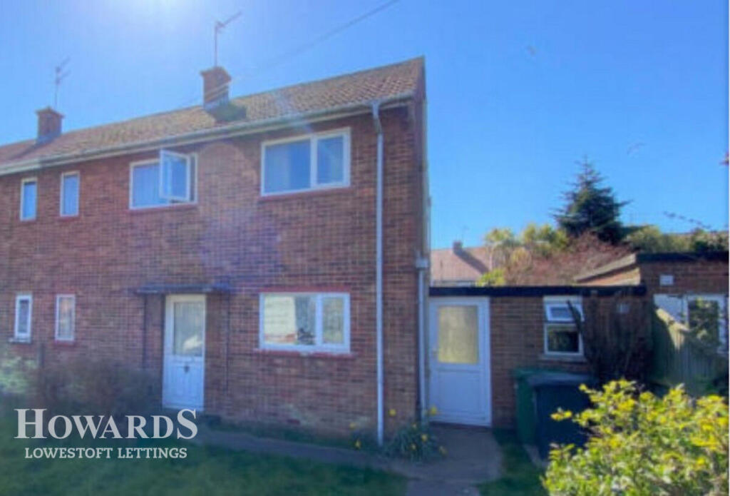
Pinewood Avenue, LOWESTOFT
By Howards Lettings
£ 950
Howards Lettings says ..
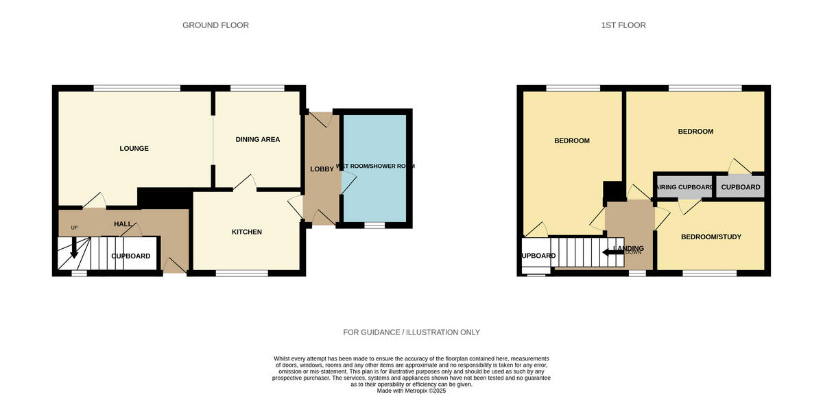
Side by Side 3 Bedroom Semi'
- Bedrooms
- 3
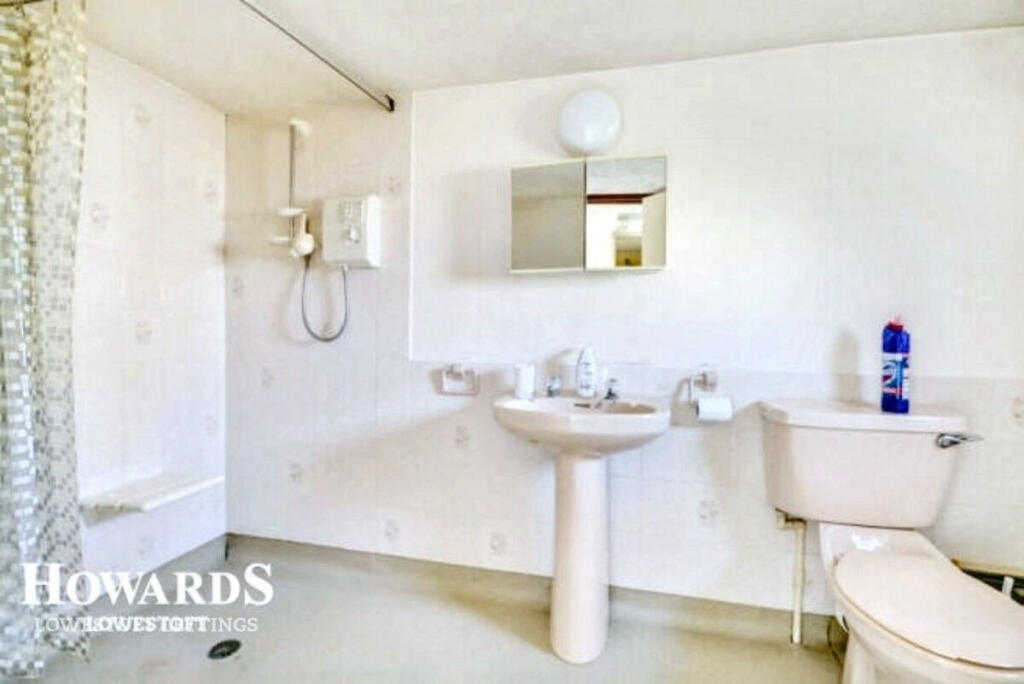
- Bathrooms
- 1
The heatmap indicates the level of crime in the area. The color of the heatmap indicates the crime severity and recency.
Metrics Year-on-Year
- Average area value
- 288,333.00 £Increased by 10.80 %
- Average area rental value
- 963.00 £/moIncreased by 6.06 %
- Est rental Yield
- 4.01 %Decreased by 4.30 %
- Crime Rate
- 28.00 %Unchanged by 0.00 %
from 260,238.00 £
from 908.00 £/mo
from 4.19 %
from 28.00 %
Agent Activity
Howards Lettings created the listing.
Nearby Schools
| Name | Type | Ofsted | Distance |
|---|---|---|---|
| Westwood Primary School | Academy Sponsor Led | Good | 0.53 KM |
| East Point Academy | Academy Sponsor Led | Good | 0.81 KM |
| Dell Primary School | Academy Sponsor Led | Requires improvement | 1.14 KM |
| Elm Tree Primary School | Academy Sponsor Led | Requires improvement | 1.20 KM |
| Phoenix St Peter Academy | Academy Sponsor Led | Requires improvement | 1.40 KM |
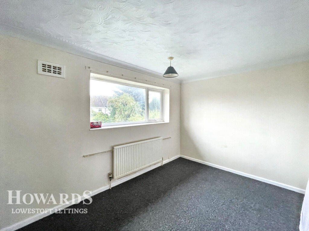
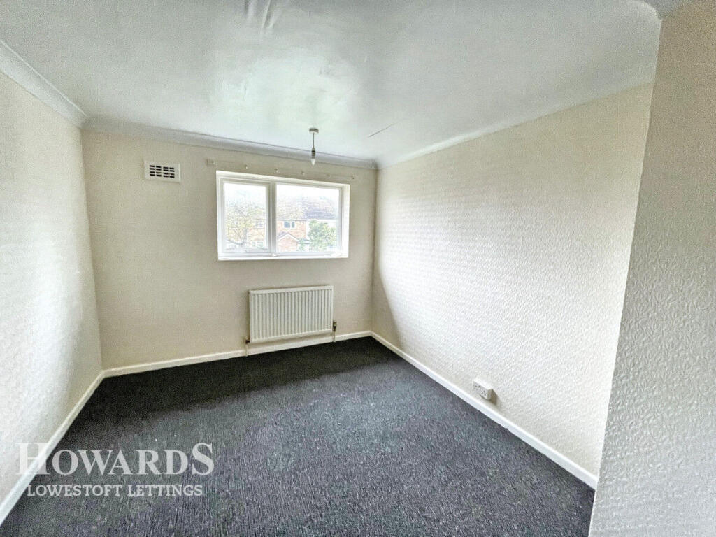
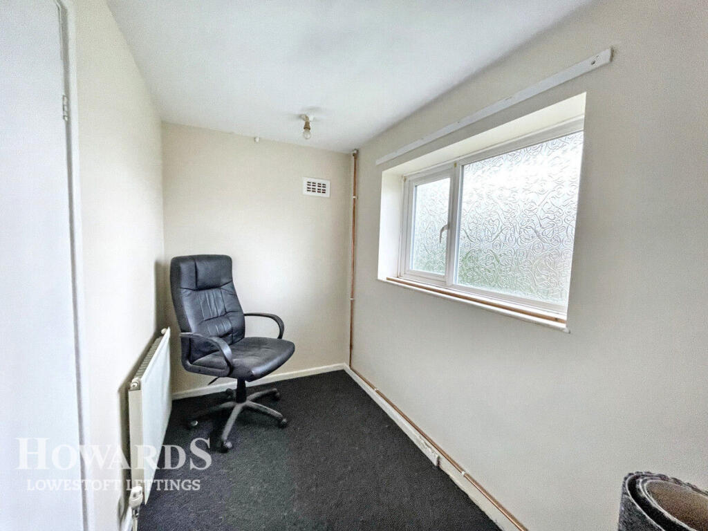
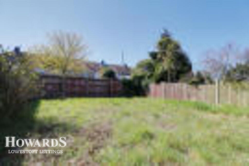
Images
Nearby Streets
| Name | Average Price | Average Sqft | Distance |
|---|---|---|---|
| Colville Works Road | £ 375,000 | 0 | 0.00 KM |
| Dell Road | £ 0 | 0 | 0.00 KM |
| Dell Road East | £ 163,333 | 0 | 0.00 KM |
| Victoria Road | £ 200,000 | 0 | 0.00 KM |
| Bunker Close | £ 190,000 | 0 | 0.00 KM |
Nearby Transport
| Name | NLC | TLC | Distance |
|---|---|---|---|
| Oulton Broad North | 7273 | OUN | 1.53 KM |
| Oulton Broad South | 7274 | OUS | 1.62 KM |
| Lowestoft | 7268 | LWT | 3.26 KM |
| Somerleyton | 7320 | SYT | 9.16 KM |
Nearby Listings
| Address | Price | Type | Score | Distance |
|---|---|---|---|---|
| Pinewood Avenue, LOWESTOFT | £ 950 | RENT | Unknown | 0.00 KM |
| Holst Close, Lowestoft | £ 925 | RENT | Unknown | 0.47 KM |
| Highland Way, Oulton Broad | £ 875 | RENT | Unknown | 0.49 KM |
| Dell Road East, LOWESTOFT | £ 1,100 | RENT | Unknown | 0.54 KM |
| Long Road, Lowestoft, NR32 | £ 695 | RENT | Unknown | 0.56 KM |
Nearby Properties
| Address | Price | Distance |
|---|---|---|
| 43 Southfield Gardens | £ 115,000 | 0.13 KM |
| 41 Southfield Gardens | £ 125,000 | 0.13 KM |
| 4 Southfield Gardens | £ 138,000 | 0.13 KM |
| 1 Southfield Gardens | £ 125,000 | 0.13 KM |
| 21 Southfield Gardens | £ 119,000 | 0.13 KM |