
GA
Flat 4, Bank House
By Gallacom Ltd
£ 795
Gallacom Ltd says ..
Beautiful 1 Bed Flat Available NOW!
- Bedrooms
- 0
- Bathrooms
- 0
The heatmap indicates the level of crime in the area. The color of the heatmap indicates the crime severity and recency.
Metrics Year-on-Year
- Average area value
- 334,585.00 £Increased by 12.99 %
- Average area rental value
- 925.00 £/moDecreased by 13.15 %
- Est rental Yield
- 3.32 %Decreased by 23.15 %
- Crime Rate
- 0.00 %
from 296,114.00 £
from 1,065.00 £/mo
from 4.32 %
from 0.00 %
Agent Activity
Gallacom Ltd created the listing.
Nearby Schools
| Name | Type | Ofsted | Distance |
|---|---|---|---|
| Christ Church Cofe Primary School | Academy Converter | 0.11 KM | |
| Tottington Primary School | Academy Converter | 0.66 KM | |
| Tottington High School | Academy Converter | 1.09 KM | |
| The Elton High School | Community School | Good | 1.16 KM |
| Lowercroft Primary School | Community School | Good | 1.28 KM |
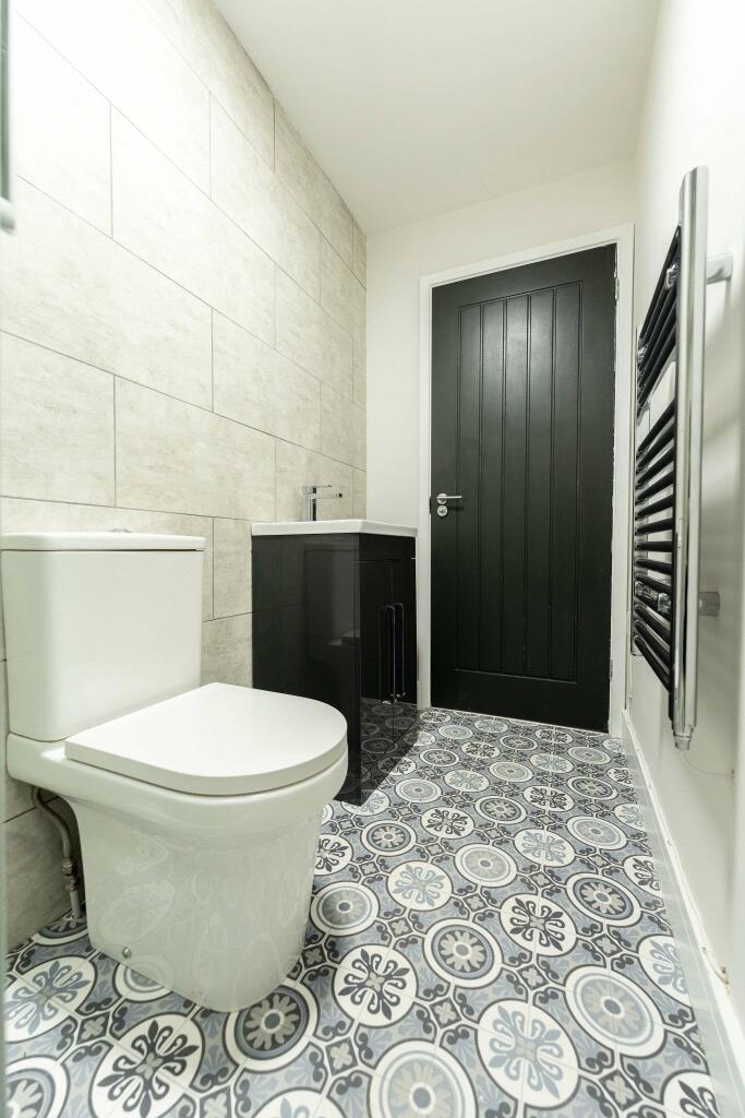
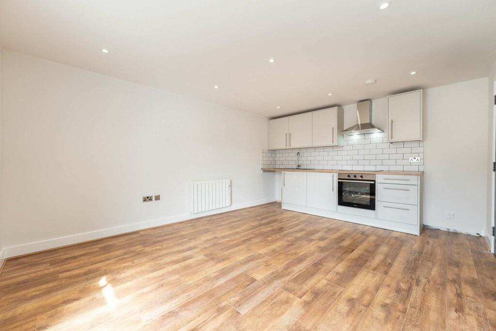
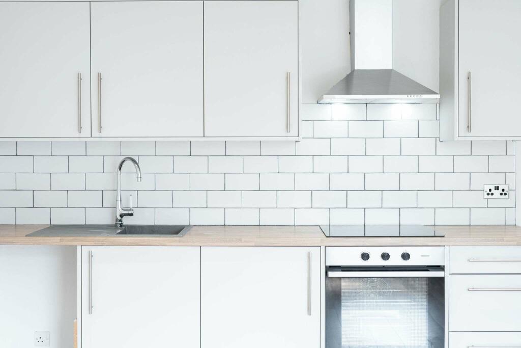
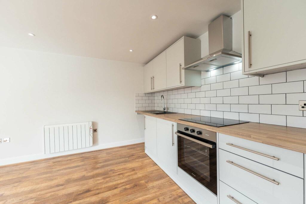
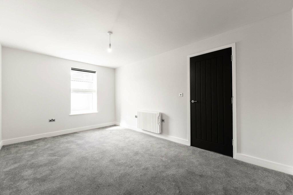
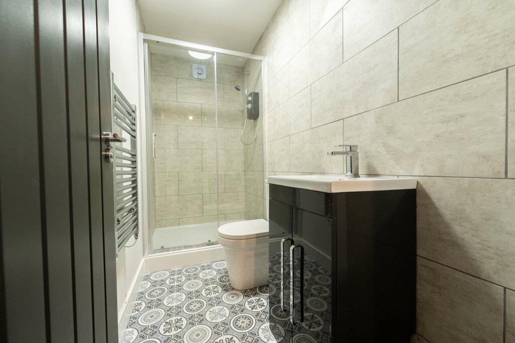
Images


Nearby Streets
| Name | Average Price | Average Sqft | Distance |
|---|---|---|---|
| Haworth Street | £ 195,000 | 0 | 0.00 KM |
| Stainforth Close | £ 0 | 0 | 0.00 KM |
| Hazel Avenue | £ 0 | 0 | 0.00 KM |
| Bowland Close | £ 0 | 0 | 0.00 KM |
| Chestnut Avenue | £ 235,000 | 0 | 0.00 KM |
Nearby Transport
| Name | NLC | TLC | Distance |
|---|---|---|---|
| Kearsley (Manchester) | 2605 | KSL | 7.62 KM |
| Farnworth | 2811 | FNW | 7.95 KM |
| Bromley Cross (Lancs) | 2697 | BMC | 8.07 KM |
| Hall-I'-Th'-Wood | 2572 | HID | 8.23 KM |
| Moses Gate | 2606 | MSS | 8.61 KM |
Nearby Listings
| Address | Price | Type | Score | Distance |
|---|---|---|---|---|
| Walshaw Road, Bury, Greater Manchester, BL8 | £ 950 | RENT | Unknown | 0.13 KM |
| Campbell Close, Walshaw, Bury, BL8 | £ 1,200 | RENT | Unknown | 0.13 KM |
| Walshaw Road, Bury, BL8 | £ 1,100 | RENT | Unknown | 0.17 KM |
| Pennington Street, Walshaw, Bury | £ 1,200 | RENT | Unknown | 0.36 KM |
| Rhode Street, BURY, BL8 | £ 950 | RENT | Unknown | 0.76 KM |
Nearby Properties
| Address | Price | Distance |
|---|---|---|
| 56 Bank Street | £ 124,950 | 0.01 KM |
| 28 Bank Street | £ 112,500 | 0.01 KM |
| 6 Bank Street | £ 200,000 | 0.01 KM |
| 12 Bank Street | £ 25,000 | 0.01 KM |
| 34 Bank Street | £ 135,000 | 0.01 KM |