R
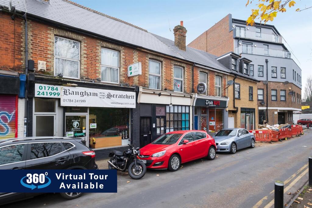
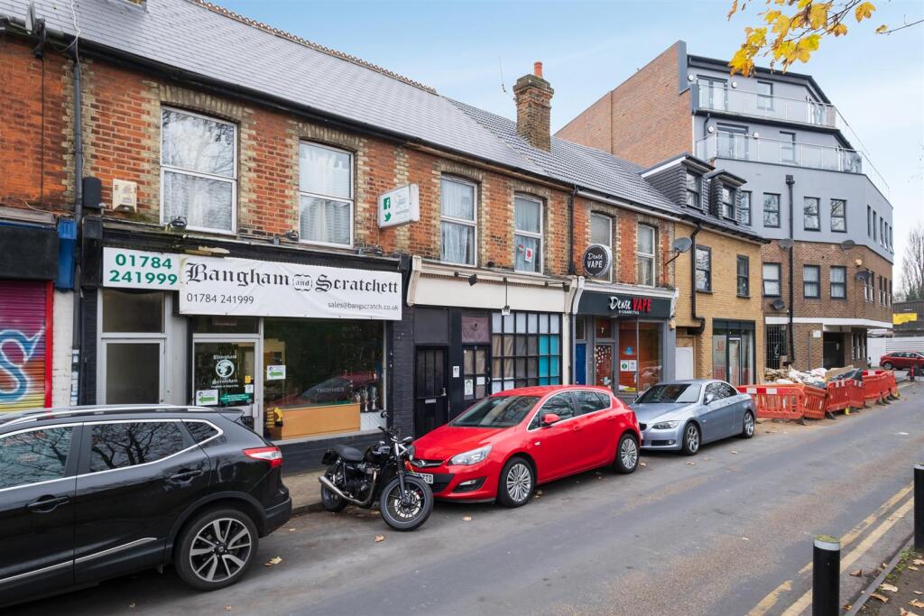
Station Road, Ashford
By R Whitley & Co
£ 850
R Whitley & Co says ..
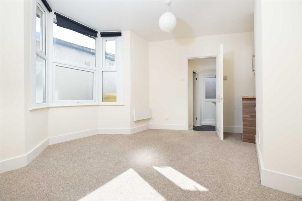
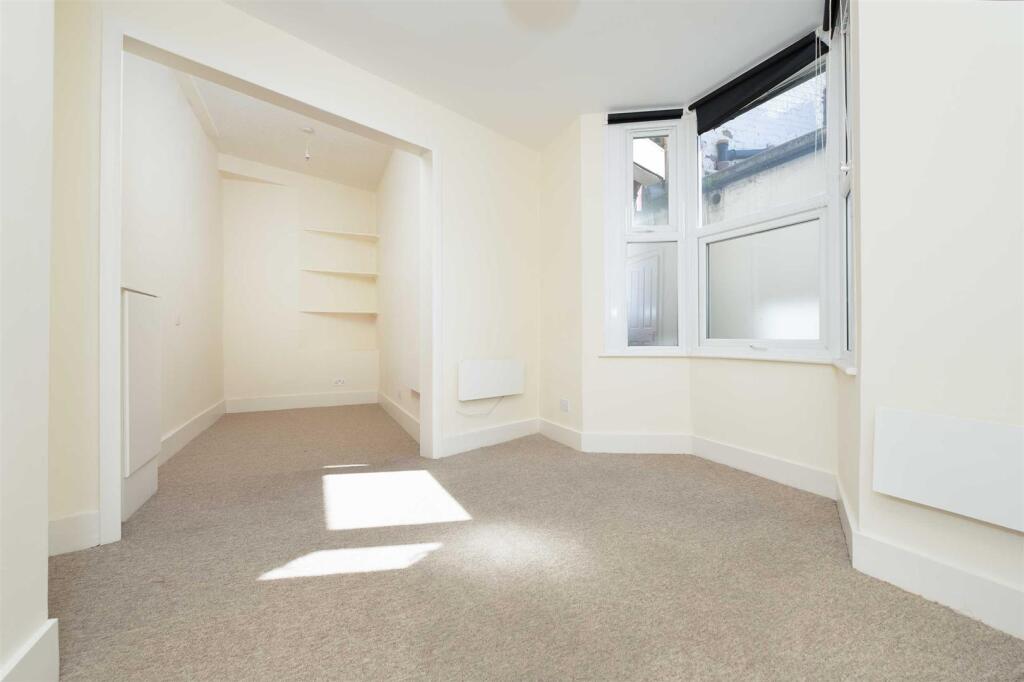
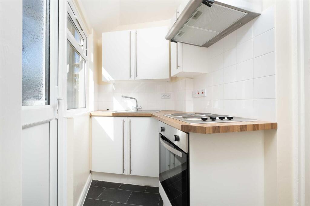
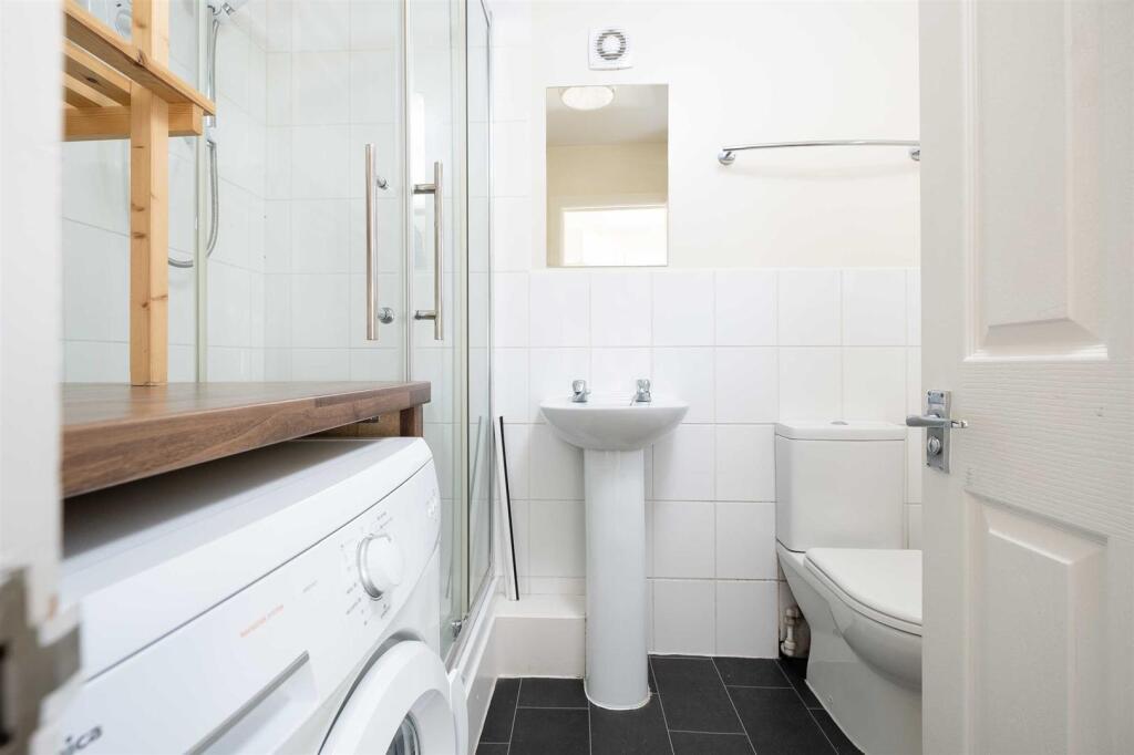
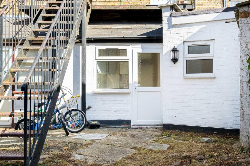
Ground floor Studio flat with electric heating and walking distance from Ashford Railway Station. EPC E
- Bedrooms
- 0
- Bathrooms
- 1
The heatmap indicates the level of crime in the area. The color of the heatmap indicates the crime severity and recency.
Metrics Year-on-Year
- Average area value
- 564,495.00 £Increased by 18.72 %
- Average area rental value
- 1,114.00 £/moDecreased by 25.39 %
- Est rental Yield
- 2.37 %Decreased by 37.14 %
- Crime Rate
- 10.00 %Unchanged by 0.00 %
from 475,495.00 £
from 1,493.00 £/mo
from 3.77 %
from 10.00 %
Agent Activity
R Whitley & Co created the listing.
Nearby Schools
| Name | Type | Ofsted | Distance |
|---|---|---|---|
| Clarendon Primary School | Community School | Good | 0.12 KM |
| Clarendon School & Sure Start Children'S Centre | Children's Centre | 0.15 KM | |
| St James Senior Boys' School | Other Independent School | 0.31 KM | |
| Fordway Centre | Academy Alternative Provision Converter | 0.54 KM | |
| Thomas Knyvett College | Academy Converter | Good | 0.65 KM |
Images

Nearby Streets
| Name | Average Price | Average Sqft | Distance |
|---|---|---|---|
| College Way | £ 150,000 | 0 | 0.00 KM |
| Badgers Close | £ 0 | 0 | 0.00 KM |
| Badgers Close | £ 0 | 0 | 0.00 KM |
| Manor Road | £ 315,000 | 0 | 0.00 KM |
| Hanover Close | £ 0 | 0 | 0.00 KM |
Nearby Transport
| Name | NLC | TLC | Distance |
|---|---|---|---|
| Ashford (Surrey) | 5667 | AFS | 0.13 KM |
| Heathrow Terminal 4 | 7091 | HAF | 3.43 KM |
| Staines | 5670 | SNS | 4.02 KM |
| Heathrow Terminals 2 And 3 (Rail Station Only) | 7090 | HXX | 4.18 KM |
| Heathrow Terminal 5 | 9846 | HWV | 4.60 KM |
Nearby Listings
| Address | Price | Type | Score | Distance |
|---|---|---|---|---|
| Station Road, Ashford, TW15 | £ 1,700 | RENT | Unknown | 0.05 KM |
| Woodthorpe Road, Ashford | £ 1,500 | RENT | Unknown | 0.06 KM |
| Station Road, Ashford | £ 1,150 | RENT | Unknown | 0.06 KM |
| Woodthorpe Road, Ashford, TW15 | £ 1,345 | RENT | Unknown | 0.13 KM |
| Menpark Views, Woodthorpe Road, Ashford, TW15 | £ 1,050 | RENT | Unknown | 0.13 KM |
Nearby Properties
| Address | Price | Distance |
|---|---|---|
| 14a Woodthorpe Road | £ 220,000 | 0.06 KM |
| 20a Woodthorpe Road | £ 225,000 | 0.06 KM |
| 19 Clarendon Road | £ 368,750 | 0.14 KM |
| 7 Clarendon Road | £ 340,000 | 0.14 KM |
| 13 Clarendon Road | £ 347,500 | 0.14 KM |