MO
Hemstal Road, West Hamstead, NW6
By MoveHome
£ 1,899
MoveHome says ..
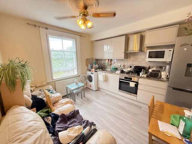
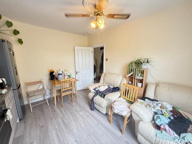
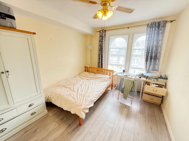
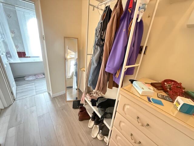
Newly refurbished one bed flat within a Victorian building.
- Bedrooms
- 1
- Bathrooms
- 0
The heatmap indicates the level of crime in the area. The color of the heatmap indicates the crime severity and recency.
Metrics Year-on-Year
- Average area value
- 652,917.00 £Decreased by 31.71 %
- Average area rental value
- 2,252.00 £/moDecreased by 7.29 %
- Est rental Yield
- 4.14 %Increased by 35.74 %
- Crime Rate
- 4.00 %Unchanged by 0.00 %
from 956,084.00 £
from 2,429.00 £/mo
from 3.05 %
from 4.00 %
Agent Activity
MoveHome created the listing.
Nearby Schools
| Name | Type | Ofsted | Distance |
|---|---|---|---|
| Kingsgate Primary School | Community School | Outstanding | 0.28 KM |
| St Eugene De Mazenod Roman Catholic Primary School | Voluntary Aided School | Outstanding | 0.37 KM |
| Kilburn Grange Childrens Centre | Children's Centre | 0.40 KM | |
| St Mary'S Kilburn Church Of England Primary School | Voluntary Aided School | Good | 0.45 KM |
| Kilburn Grange School | Free Schools | Good | 0.50 KM |
Images

Nearby Streets
| Name | Average Price | Average Sqft | Distance |
|---|---|---|---|
| West Hampstead Studios | £ 529,950 | 0 | 0.00 KM |
| Grangeway | £ 0 | 0 | 0.00 KM |
| Black Path | £ 818,750 | 0 | 0.00 KM |
| Coral Mews | £ 0 | 0 | 0.00 KM |
| Kilburn High Road | £ 495,000 | 0 | 0.00 KM |
Nearby Transport
| Name | NLC | TLC | Distance |
|---|---|---|---|
| West Hampstead | 1421 | WHD | 0.51 KM |
| West Hampstead Thameslink | 1525 | WHP | 0.56 KM |
| Kilburn High Road | 1415 | KBN | 0.81 KM |
| Brondesbury | 1437 | BSY | 0.87 KM |
| Finchley Road And Frognal | 1445 | FNY | 1.42 KM |
Nearby Listings
| Address | Price | Type | Score | Distance |
|---|---|---|---|---|
| Hemstal Road, West Hampstead NW6 | £ 500 | RENT | Unknown | 0.00 KM |
| Hemstal Road, West Hamstead, NW6 | £ 1,899 | RENT | Unknown | 0.00 KM |
| Hemstal Road, Hampstead, NW6 | £ 1,900 | RENT | Unknown | 0.00 KM |
| Hemstal Road, West Hampstead, London, NW6 | £ 2,000 | RENT | Unknown | 0.02 KM |
| Dynham Road, West Hampstead, NW6 | £ 2,000 | RENT | Unknown | 0.05 KM |
Nearby Properties
| Address | Price | Distance |
|---|---|---|
| 23d Hemstal Road | £ 222,950 | 0.00 KM |
| 19b Hemstal Road | £ 548,000 | 0.00 KM |
| 21d Hemstal Road | £ 60,000 | 0.00 KM |
| 21c Hemstal Road | £ 425,000 | 0.00 KM |
| 23c Hemstal Road | £ 110,000 | 0.00 KM |