IA
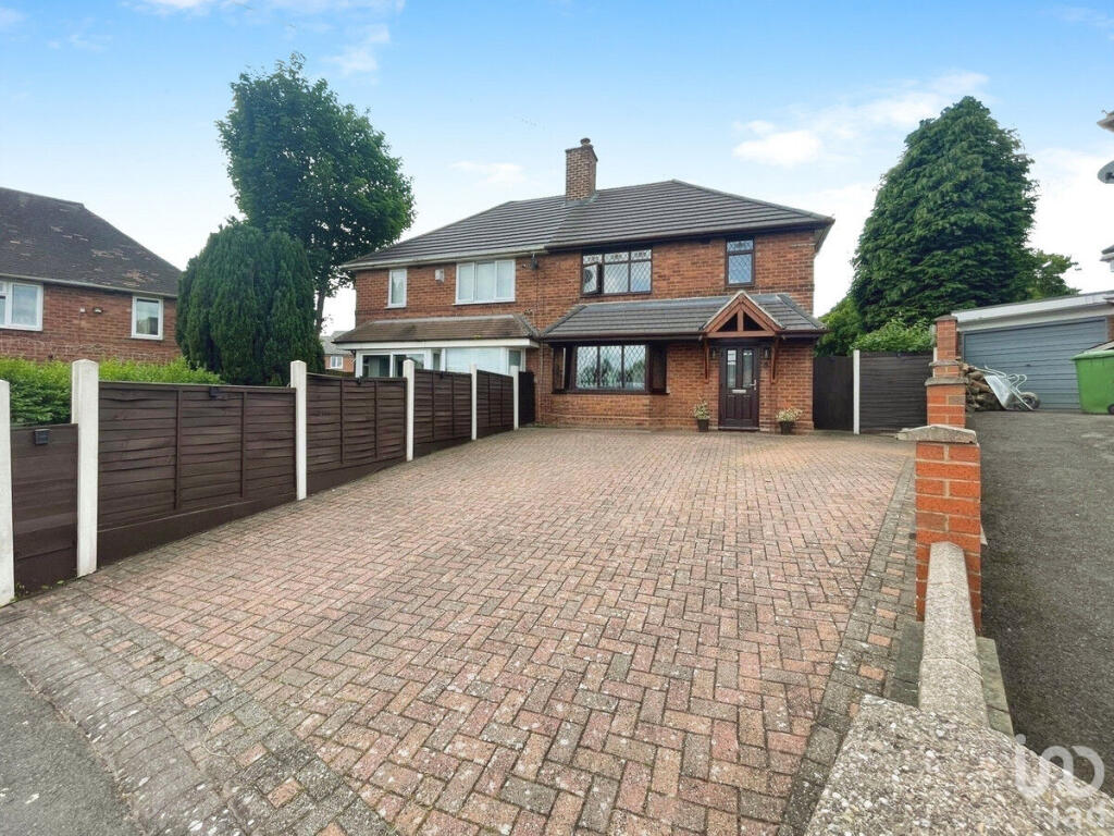
Allingham Grove, Birmingham, B43
By IAD
£ 300,000
IAD says ..
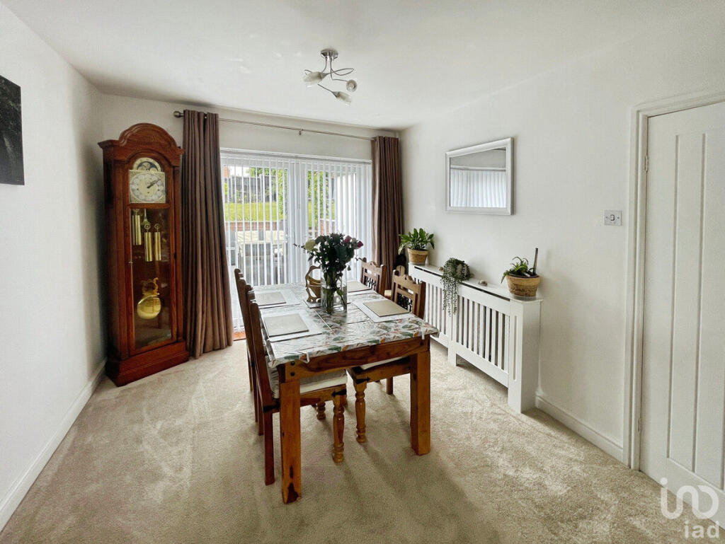
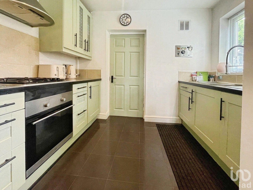
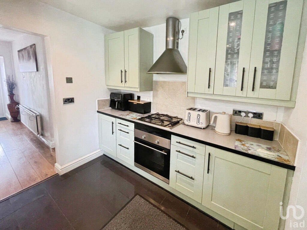
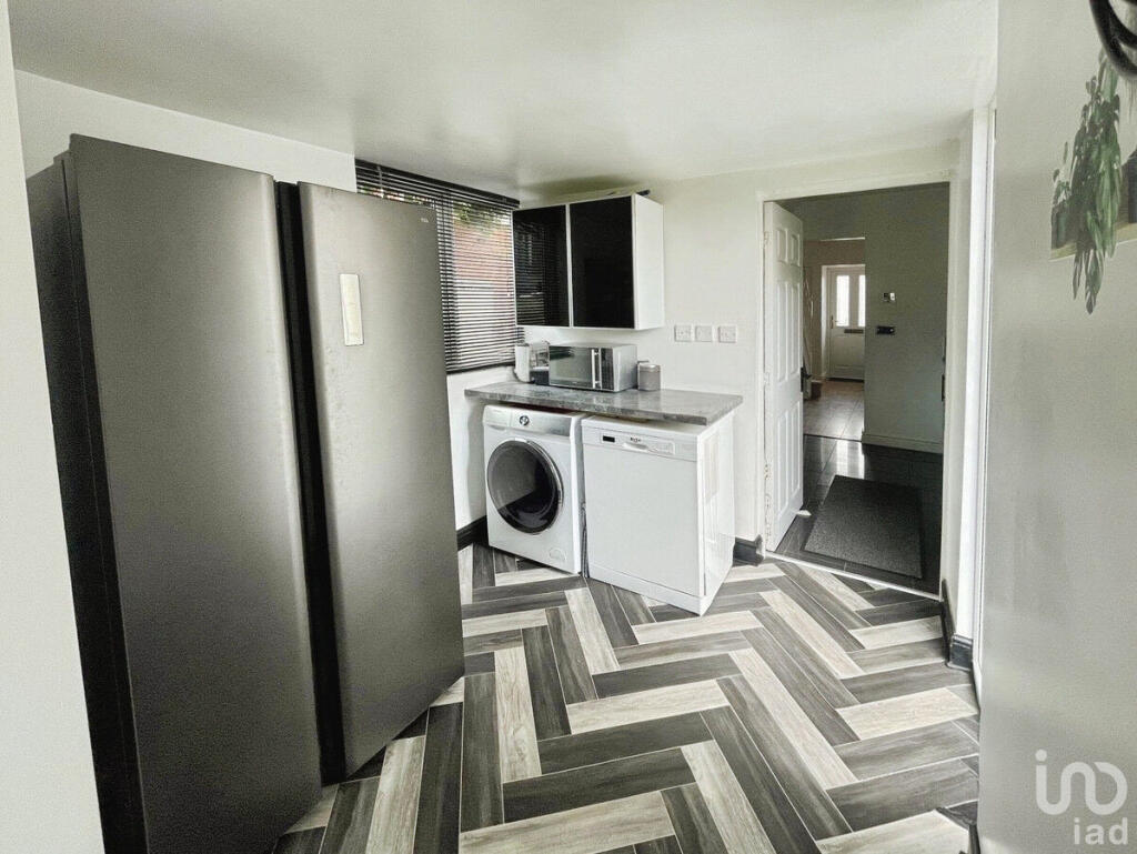
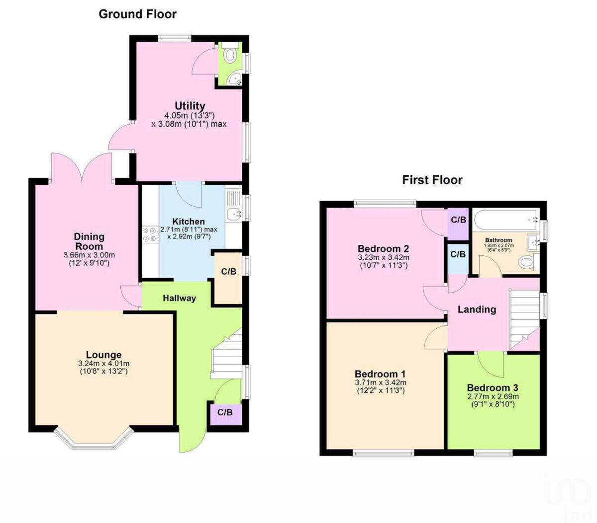
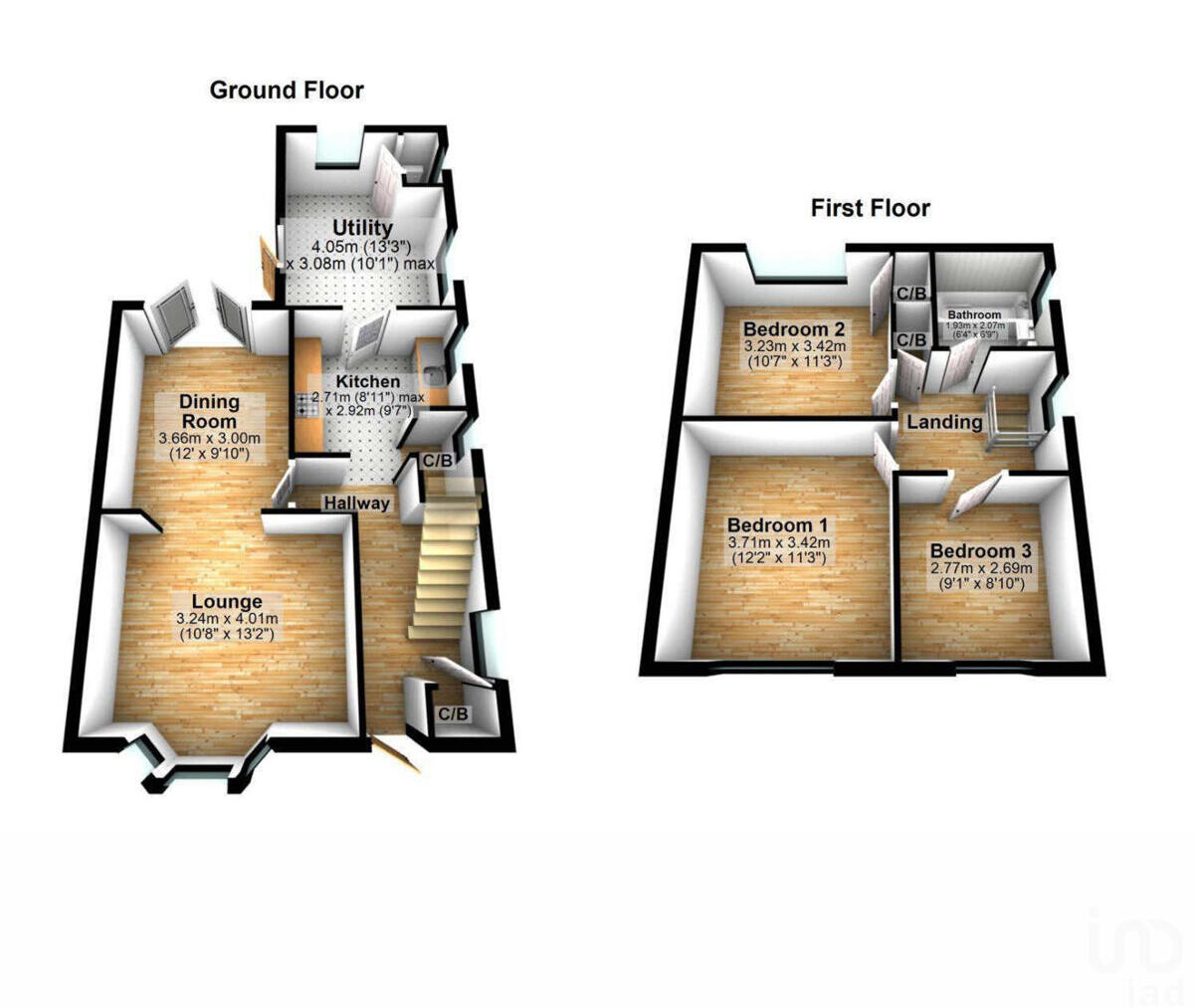
Three Bedroom Semi Detached House
- Bedrooms
- 3
- Bathrooms
- 1
The heatmap indicates the level of crime in the area. The color of the heatmap indicates the crime severity and recency.
Metrics Year-on-Year
- Average area value
- 282,222.00 £Decreased by 4.78 %
- Average area rental value
- 1,223.00 £/moIncreased by 4.80 %
- Est rental Yield
- 5.20 %Increased by 10.17 %
- Crime Rate
- 6.00 %Unchanged by 0.00 %
from 296,398.00 £
from 1,167.00 £/mo
from 4.72 %
from 6.00 %
Agent Activity
IAD created the listing.
Nearby Schools
| Name | Type | Ofsted | Distance |
|---|---|---|---|
| Sundridge Children'S Centre | Children's Centre Linked Site | 0.16 KM | |
| Sundridge Primary School | Community School | Good | 0.25 KM |
| Meadow View Jmi School | Community School | Good | 0.60 KM |
| Pheasey Park Farm Primary School And Early Years Centre | Academy Converter | 0.95 KM | |
| Pheasey Park Farm Sure Start Children'S Centre | Children's Centre Linked Site | 0.95 KM |
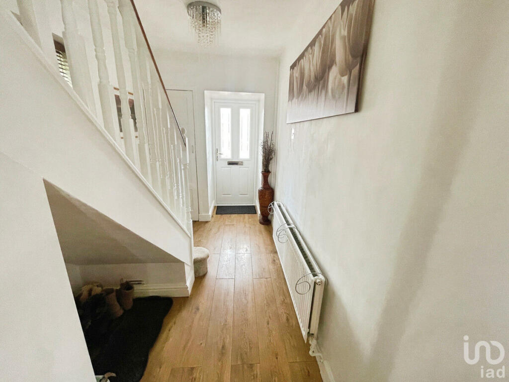
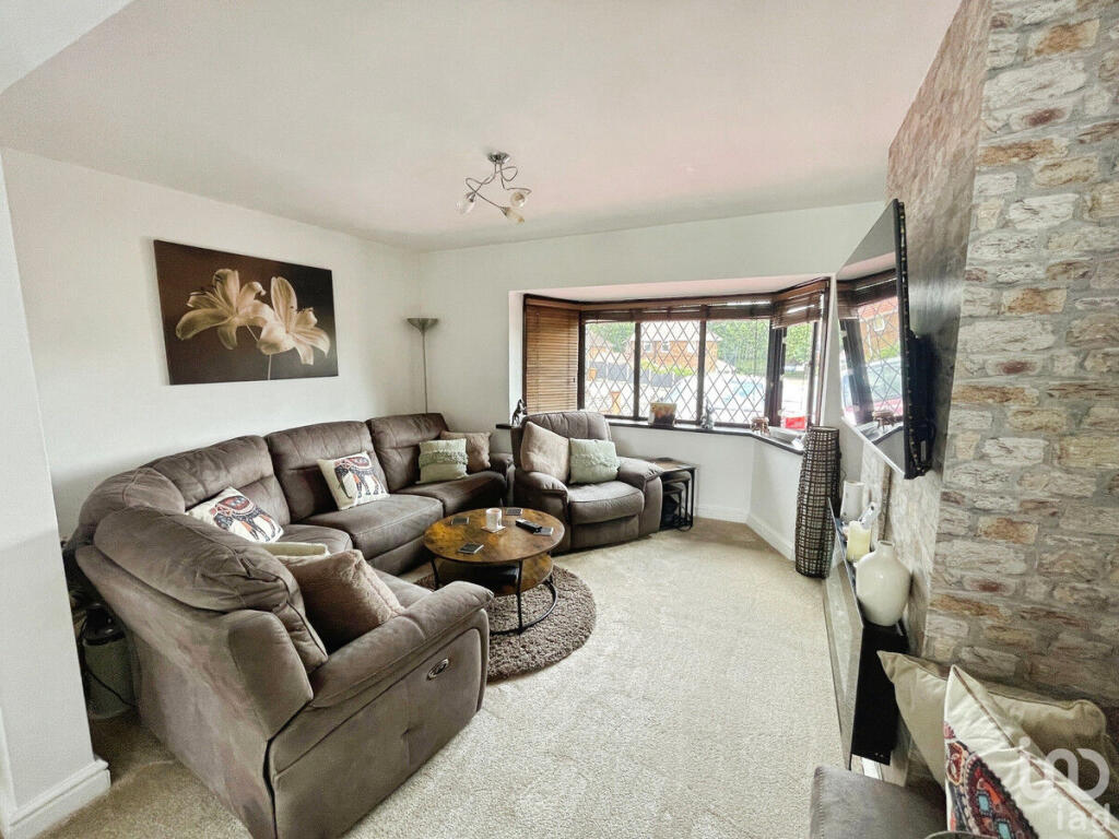
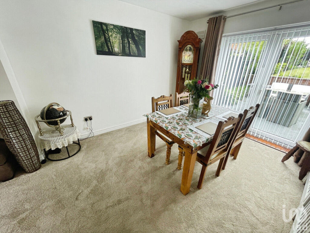
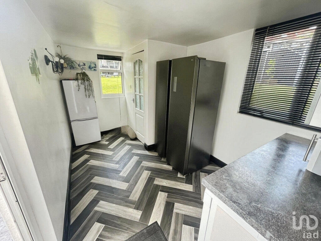
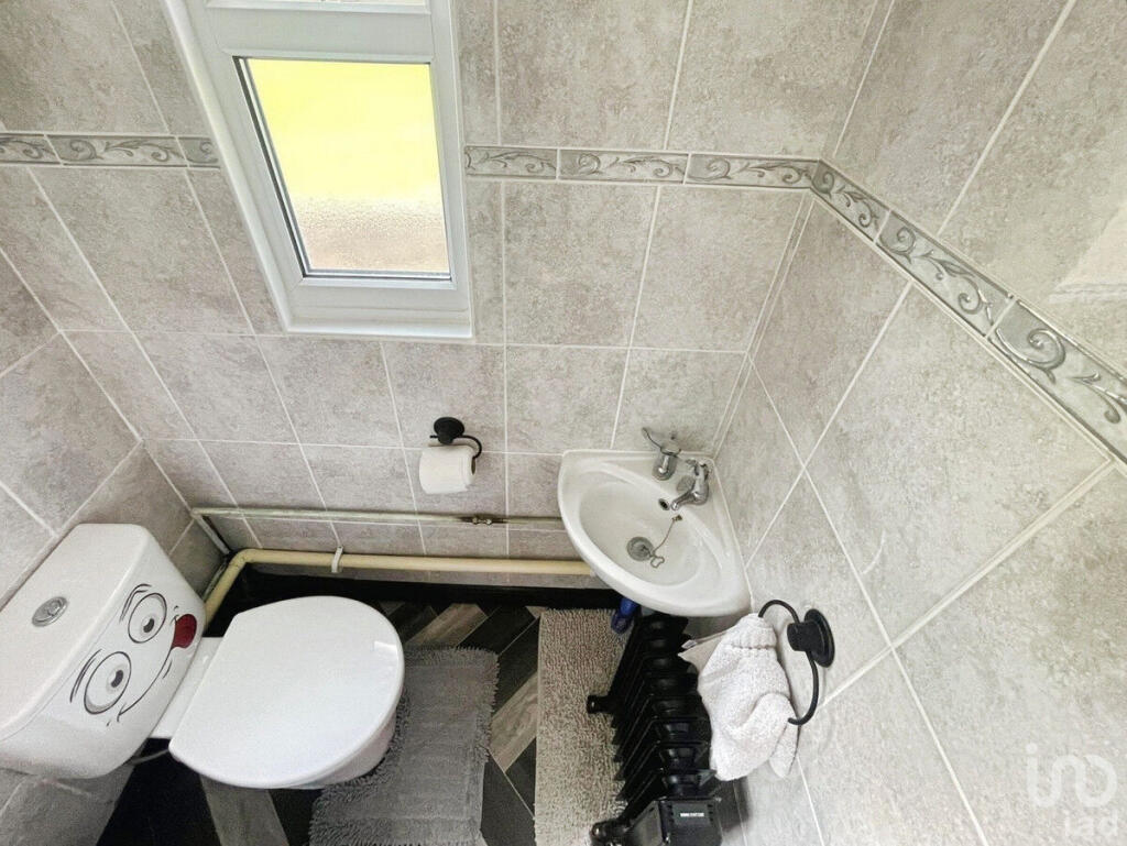
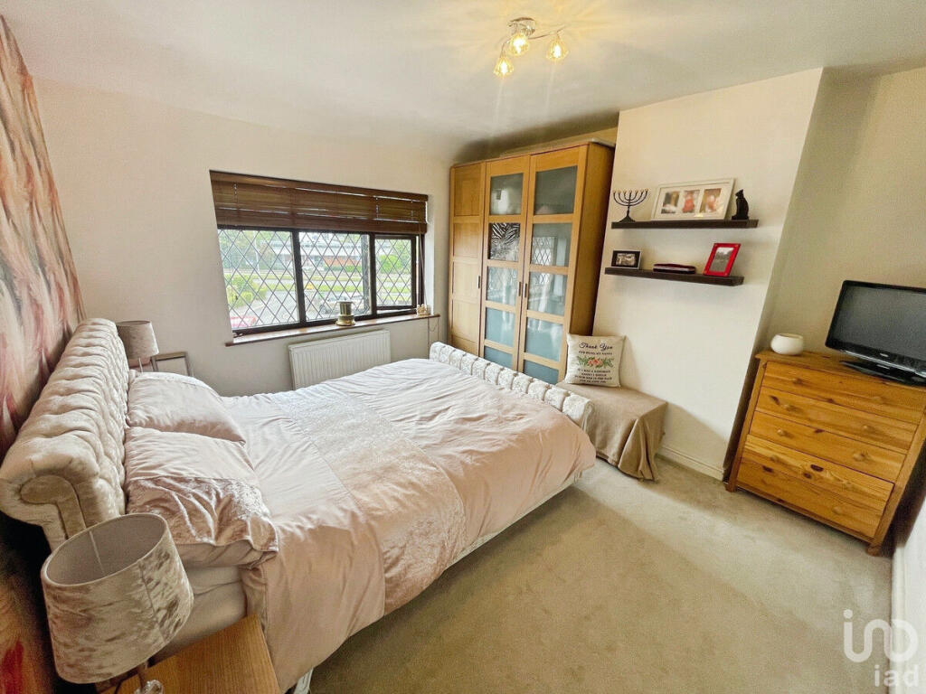
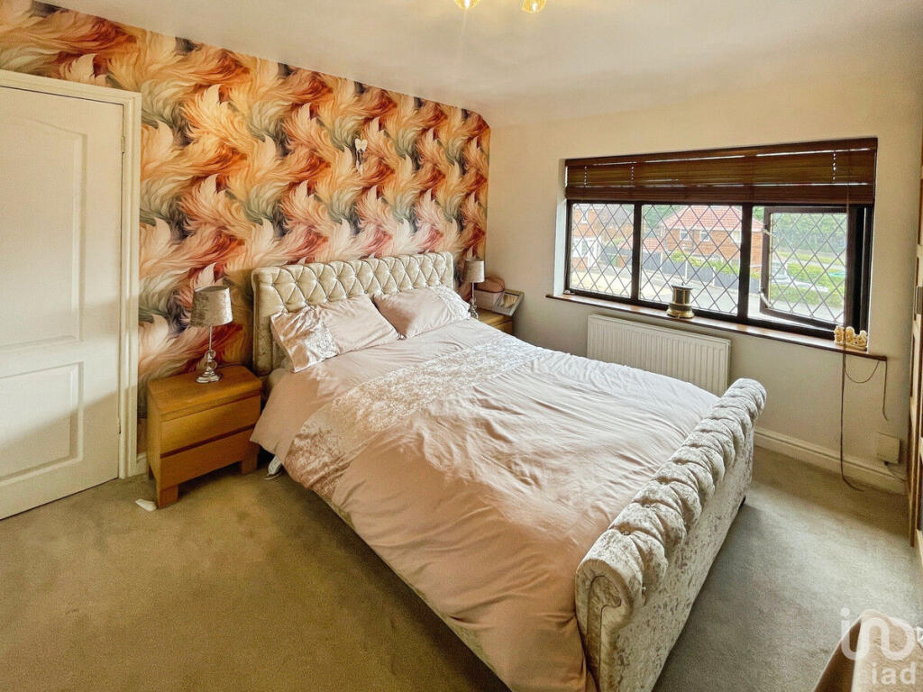
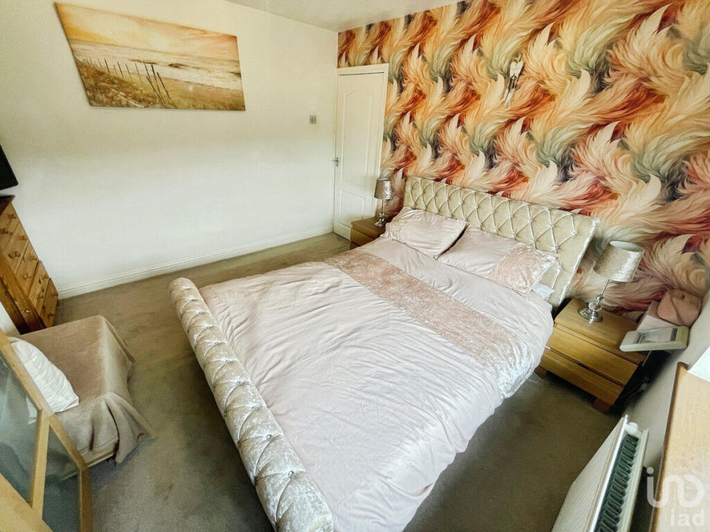
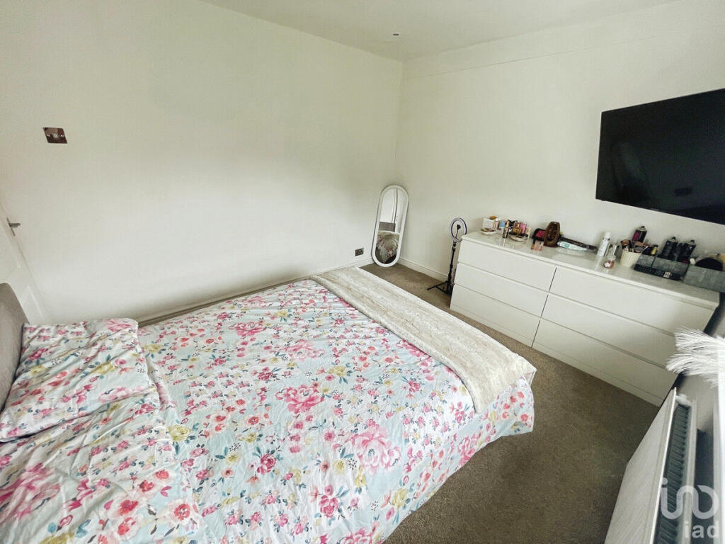
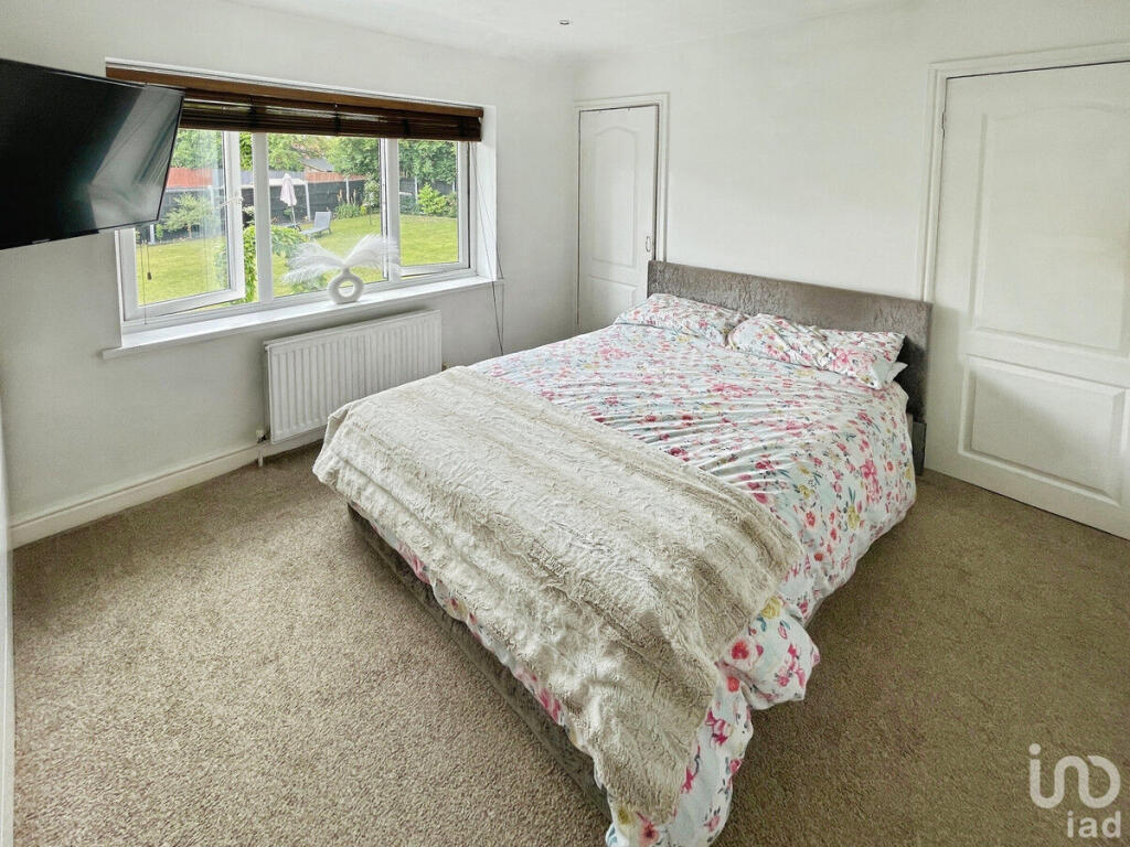
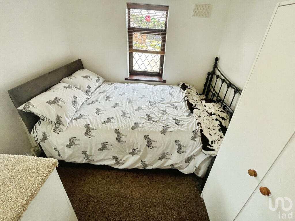
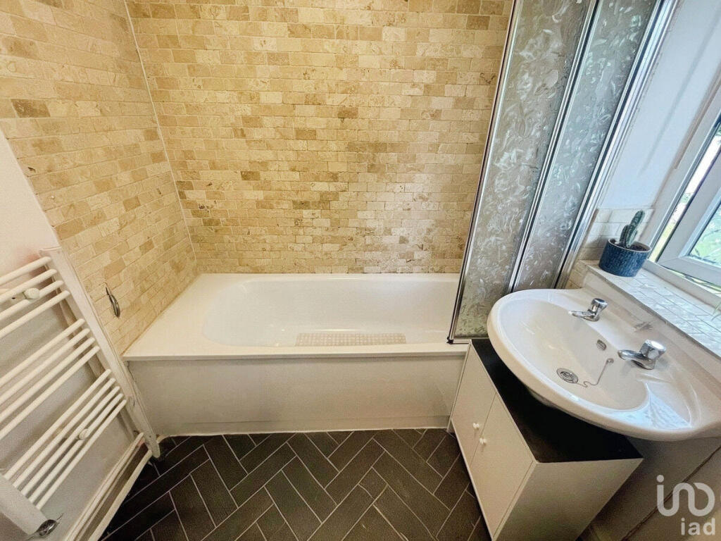
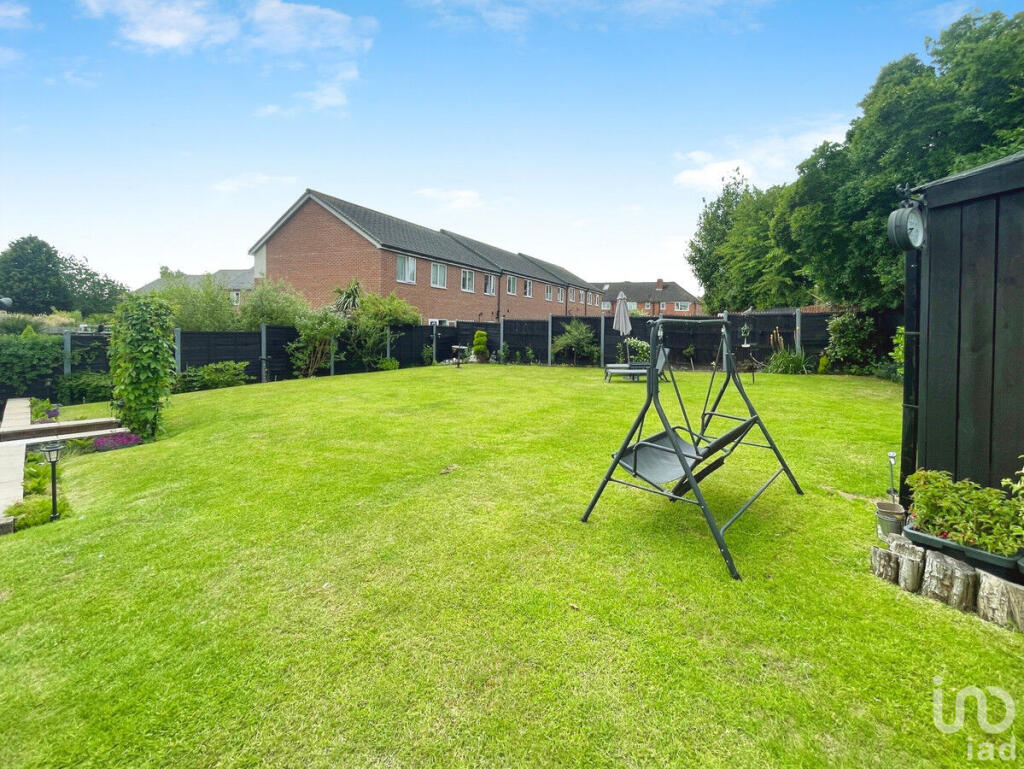
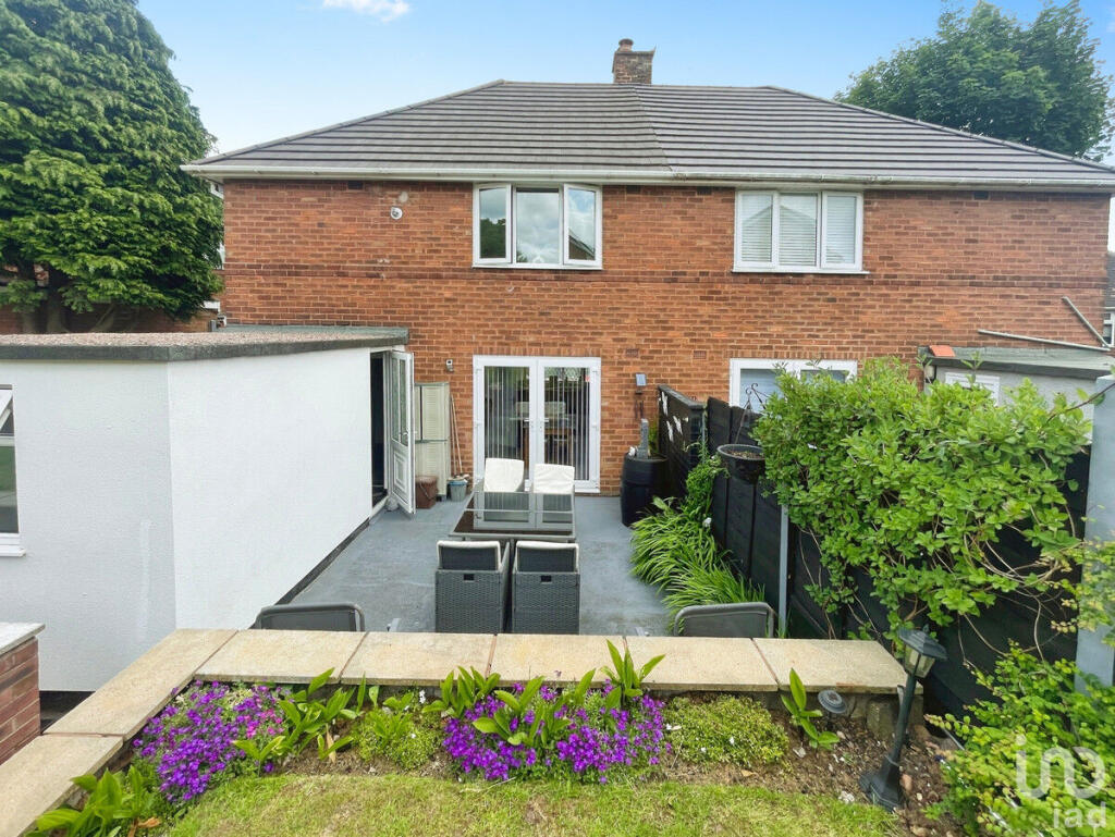
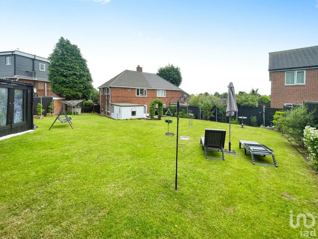
Images
Nearby Streets
| Name | Average Price | Average Sqft | Distance |
|---|---|---|---|
| Queslett Road East | £ 0 | 0 | 0.00 KM |
| Privet Close | £ 230,000 | 0 | 0.00 KM |
| Sheen Road | £ 200,000 | 0 | 0.00 KM |
| Brompton Road | £ 189,286 | 0 | 0.00 KM |
| Wisteria Grove | £ 239,283 | 0 | 0.00 KM |
Nearby Transport
| Name | NLC | TLC | Distance |
|---|---|---|---|
| Hamstead (Birmingham) | 1145 | HSD | 4.51 KM |
| Perry Barr | 1128 | PRY | 4.63 KM |
| Witton (West Midlands) | 1011 | WTT | 5.30 KM |
| Aston | 1004 | AST | 6.66 KM |
| Gravelly Hill | 1132 | GVH | 6.97 KM |
Nearby Listings
| Address | Price | Type | Score | Distance |
|---|---|---|---|---|
| Allingham Grove, Birmingham, B43 | £ 300,000 | BUY | Unknown | 0.00 KM |
| Riven Rise, Birmingham, West Midlands, B43 | £ 375,000 | BUY | 6 / 10 | 0.06 KM |
| Queslett Road, Great Barr, Birmingham B43 7DY | £ 240,000 | BUY | 7 / 10 | 0.07 KM |
| Chantrey Crescent, Great Barr, Birmingham B43 7PD | £ 230,000 | BUY | 7 / 10 | 0.09 KM |
| Romney Way, Birmingham, B43 | £ 90,000 | BUY | 5 / 10 | 0.11 KM |
Nearby Properties
| Address | Price | Distance |
|---|---|---|
| 11 Allingham Grove | £ 155,000 | 0.01 KM |
| 5 Allingham Grove | £ 215,000 | 0.02 KM |
| 2 Allingham Grove | £ 154,000 | 0.02 KM |
| 5 Riven Rise | £ 340,000 | 0.06 KM |
| 598 Queslett Road | £ 148,000 | 0.07 KM |