HA
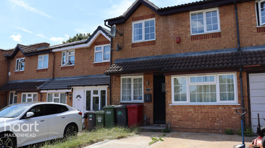
Lowestoft Drive, SLOUGH
By haart
£ 2,000
haart says ..
**NO DEPOSIT OPTION AVAILABLE**
- Bedrooms
- 4
- Bathrooms
- 1
The heatmap indicates the level of crime in the area. The color of the heatmap indicates the crime severity and recency.
Metrics Year-on-Year
- Average area value
- 736,250.00 £Increased by 72.69 %
- Average area rental value
- 1,963.00 £/moIncreased by 6.51 %
- Est rental Yield
- 3.20 %Decreased by 38.34 %
- Crime Rate
- 6.00 %Unchanged by 0.00 %
from 426,349.00 £
from 1,843.00 £/mo
from 5.19 %
from 6.00 %
Agent Activity
haart created the listing.
Nearby Schools
| Name | Type | Ofsted | Distance |
|---|---|---|---|
| Al-Madani Independent Grammar School | Other Independent School | Good | 0.32 KM |
| Our Lady Of Peace Catholic Primary And Nursery School | Voluntary Aided School | Good | 0.56 KM |
| Orchard Avenue Children'S Centre | Children's Centre | 0.56 KM | |
| Priory School | Foundation School | Good | 0.58 KM |
| St. Andrew'S Way Children'S Centre | Children's Centre | 0.69 KM |
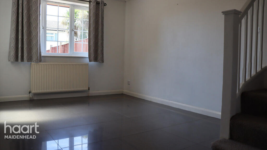
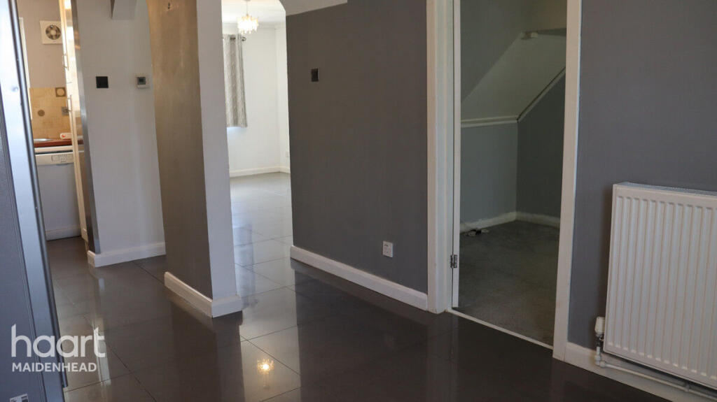
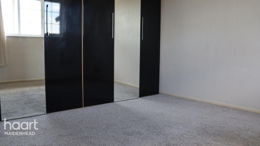
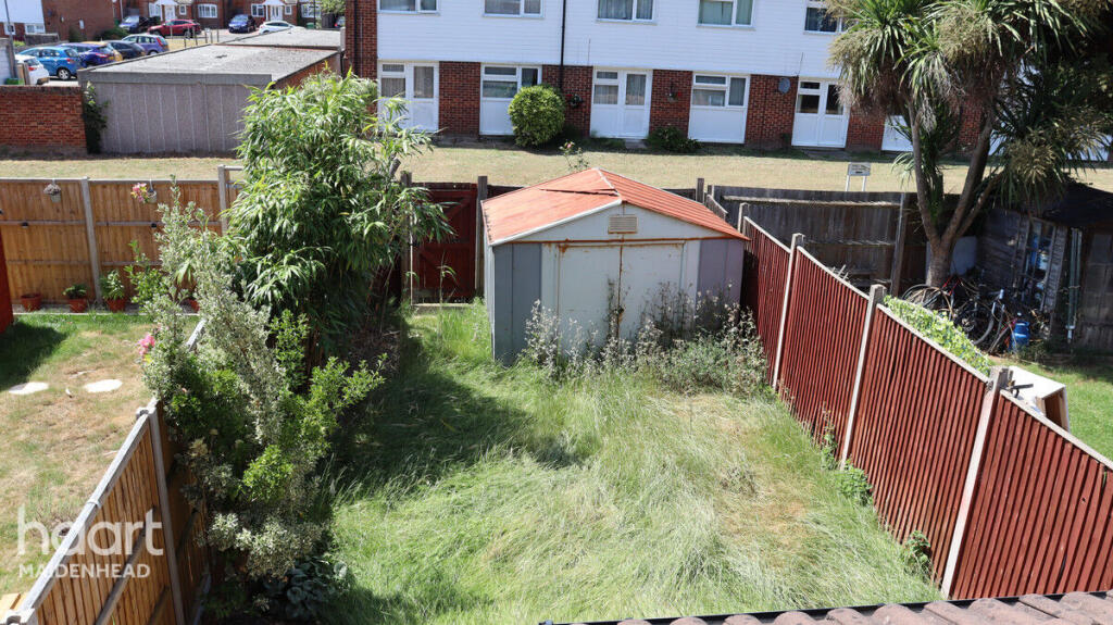
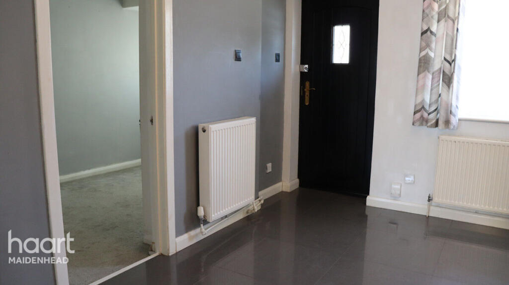
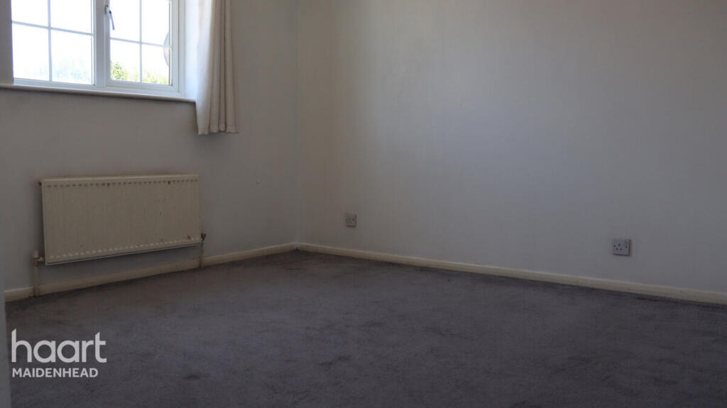
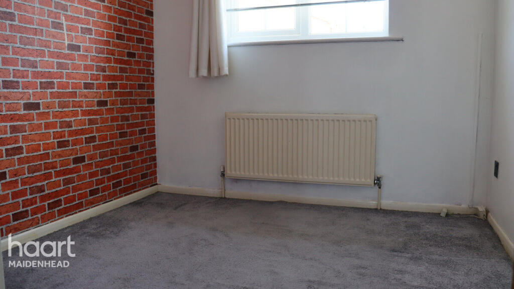
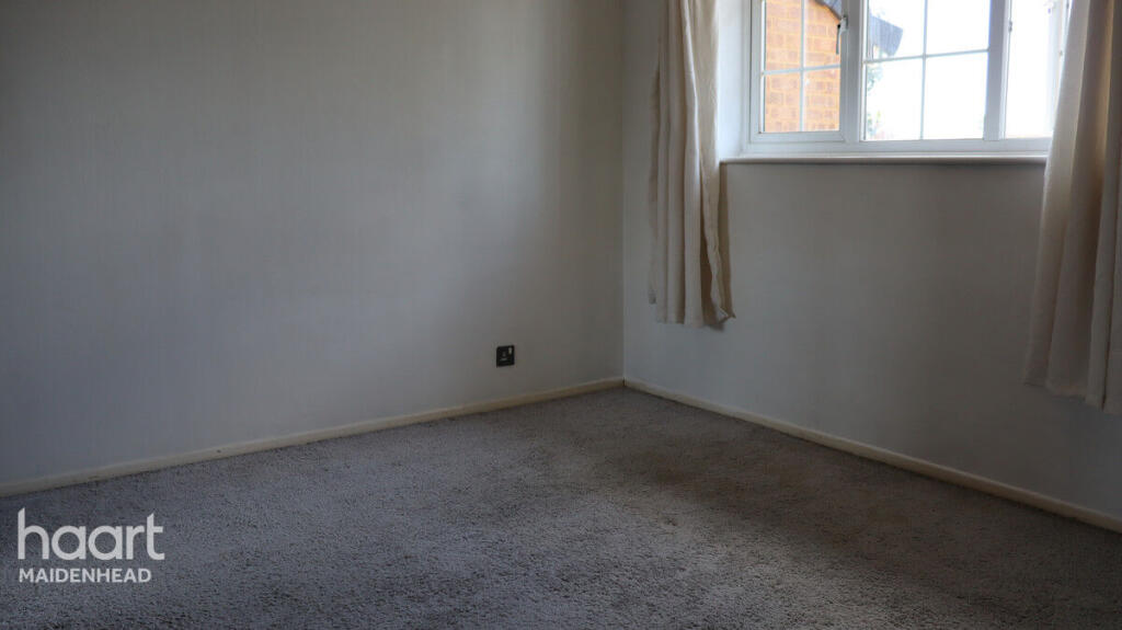
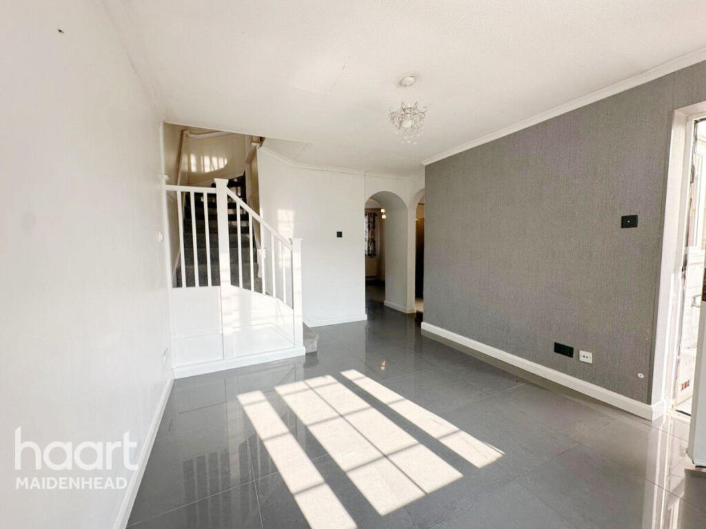
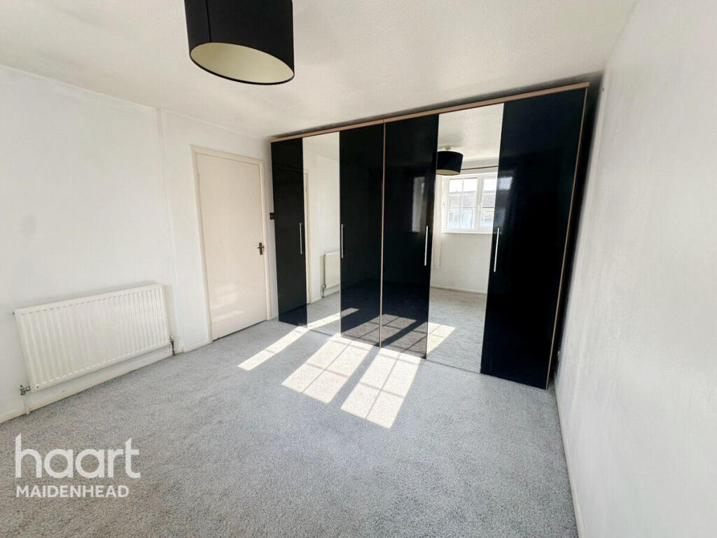
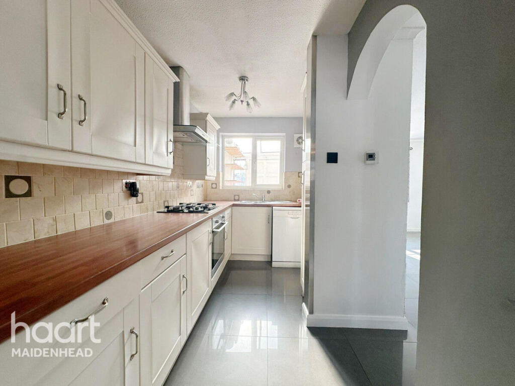
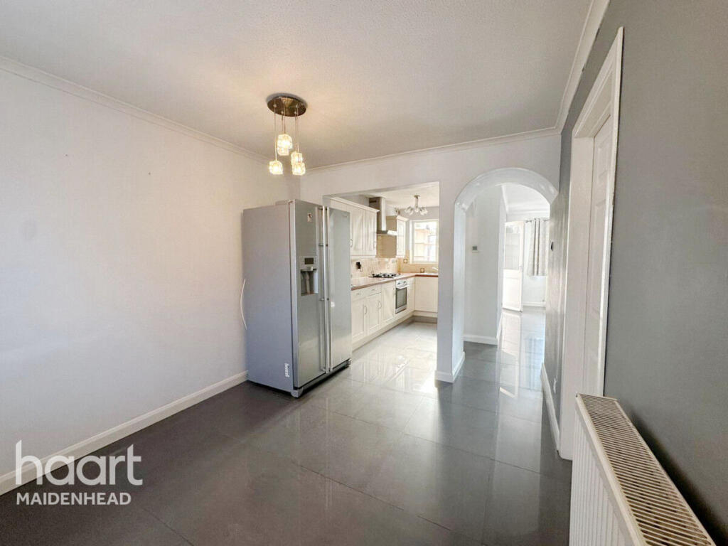
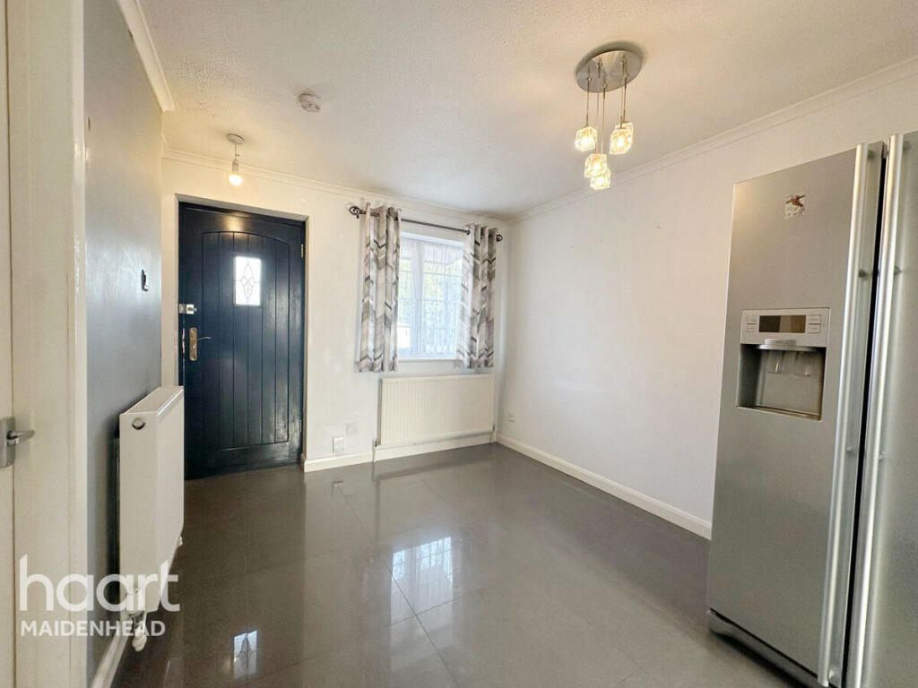
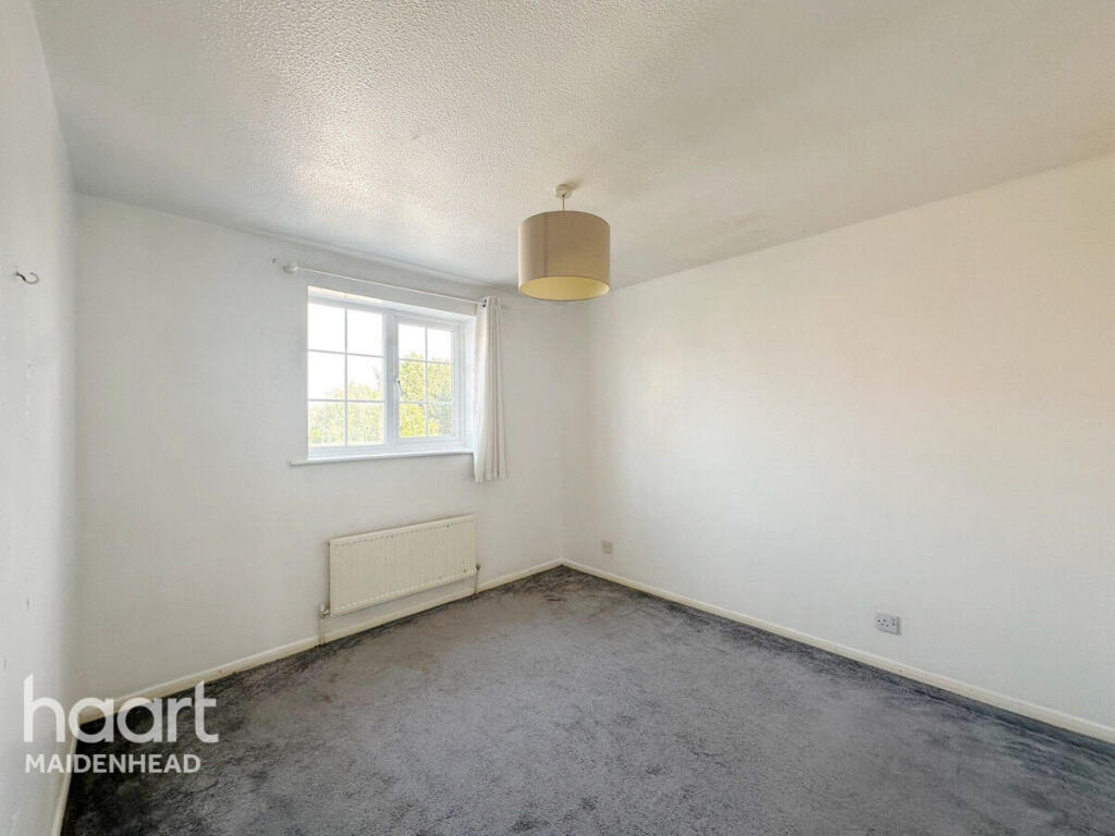
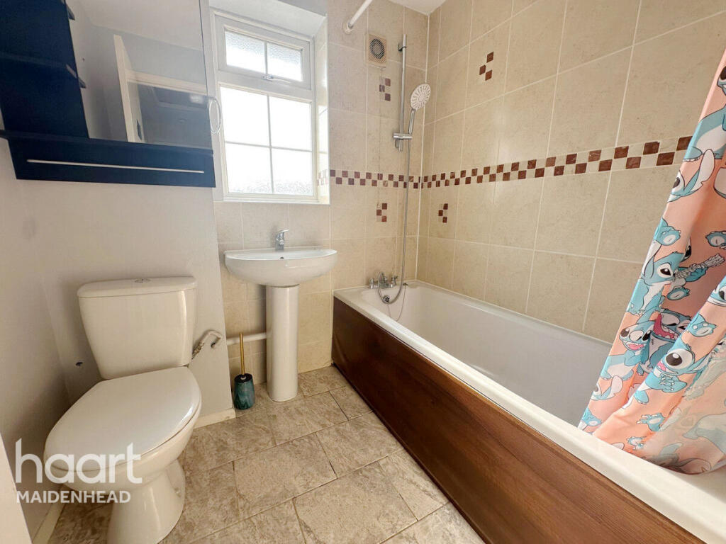
Images


Nearby Streets
| Name | Average Price | Average Sqft | Distance |
|---|---|---|---|
| Bosworth court | £ 0 | 0 | 0.00 KM |
| Wyeth Close | £ 600,000 | 0 | 0.00 KM |
| St.Georges Crescent | £ 375,000 | 0 | 0.00 KM |
| Huntercombe Spur | £ 600,000 | 0 | 0.00 KM |
| Saint Andrews Way | £ 427,475 | 0 | 0.00 KM |
Nearby Transport
| Name | NLC | TLC | Distance |
|---|---|---|---|
| Burnham | 3176 | BNM | 0.81 KM |
| Taplow | 3151 | TAP | 3.08 KM |
| Windsor And Eton Central | 3175 | WNC | 6.43 KM |
| Windsor And Eton Riverside | 5672 | WNR | 6.59 KM |
| Slough | 3172 | SLO | 6.95 KM |
Nearby Listings
| Address | Price | Type | Score | Distance |
|---|---|---|---|---|
| Lowestoft Drive, SLOUGH | £ 2,000 | RENT | Unknown | 0.00 KM |
| Lowestoft Drive, Slough | £ 1,300 | RENT | Unknown | 0.00 KM |
| Lowestoft Drive, Burnham, SL1 | £ 1,400 | RENT | Unknown | 0.03 KM |
| Lowestoft Drive, Slough, Berkshire, SL1 | £ 1,895 | RENT | Unknown | 0.09 KM |
| Burnham Gate, Slough, SL1 | £ 950 | RENT | Unknown | 0.15 KM |
Nearby Properties
| Address | Price | Distance |
|---|---|---|
| 110 Lowestoft Drive | £ 84,950 | 0.03 KM |
| 90 Lowestoft Drive | £ 92,000 | 0.03 KM |
| 92 Lowestoft Drive | £ 242,500 | 0.03 KM |
| 96 Lowestoft Drive | £ 220,000 | 0.03 KM |
| 118 Lowestoft Drive | £ 135,000 | 0.03 KM |