HA
Kipling Road, Bristol, BS7
By Hanland Capital
£ 2,650
Hanland Capital says ..
Convenient transports with train station and one parking space in front garden.
- Bedrooms
- 4
- Bathrooms
- 2
The heatmap indicates the level of crime in the area. The color of the heatmap indicates the crime severity and recency.
Metrics Year-on-Year
- Average area value
- 334,369.00 £Decreased by 4.41 %
- Average area rental value
- 2,075.00 £/moIncreased by 5.22 %
- Est rental Yield
- 7.45 %Increased by 10.04 %
- Crime Rate
- 8.00 %Unchanged by 0.00 %
from 349,793.00 £
from 1,972.00 £/mo
from 6.77 %
from 8.00 %
Agent Activity
Hanland Capital created the listing.
Nearby Schools
| Name | Type | Ofsted | Distance |
|---|---|---|---|
| Shield Road Primary School | Community School | Good | 0.54 KM |
| Stoke Park Primary School & Early Years Centre | Children's Centre | 0.55 KM | |
| Upper Horfield Children'S Centre & Community School | Children's Centre | 1.02 KM | |
| Upper Horfield Primary School | Community School | Requires improvement | 1.08 KM |
| Filton Children'S Centre | Children's Centre | 1.17 KM |
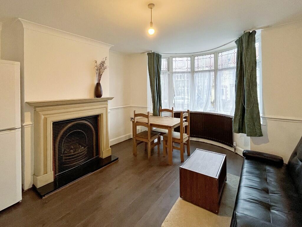
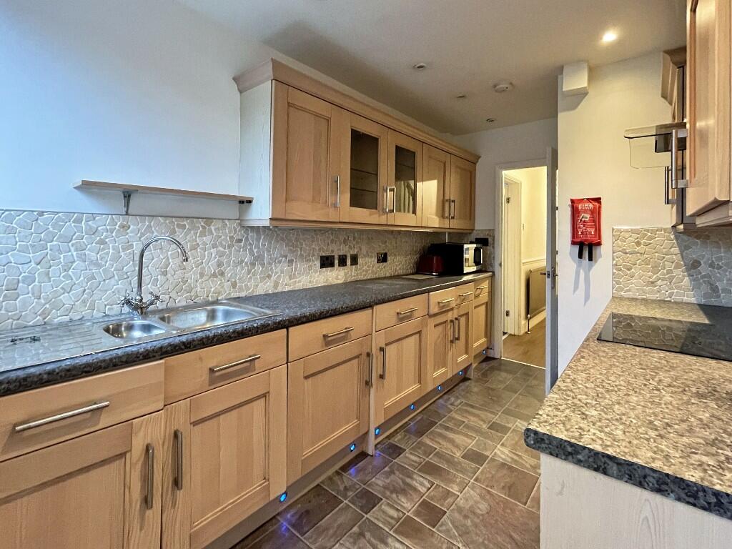
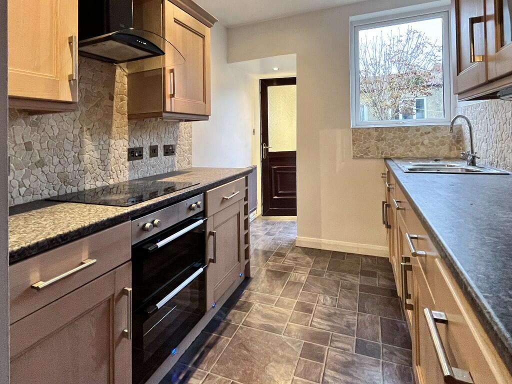
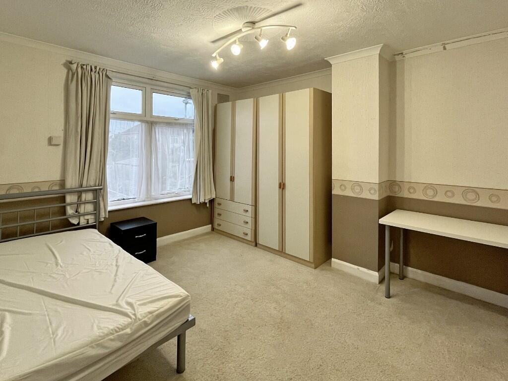
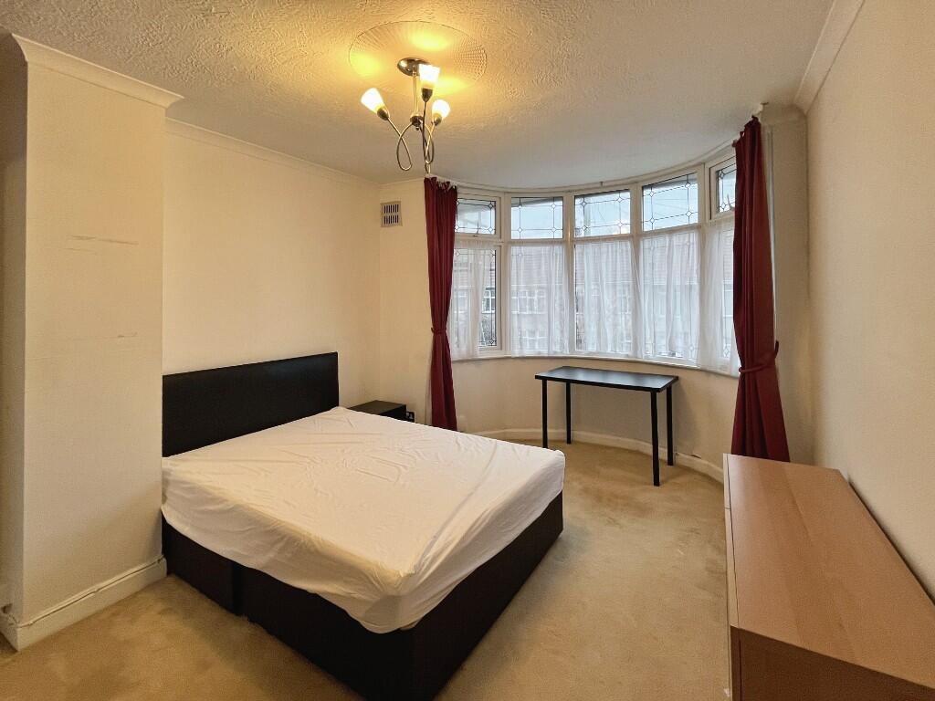
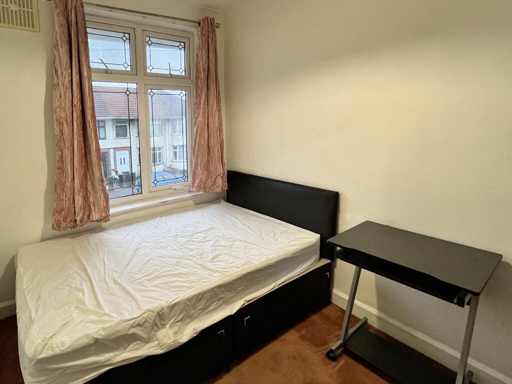
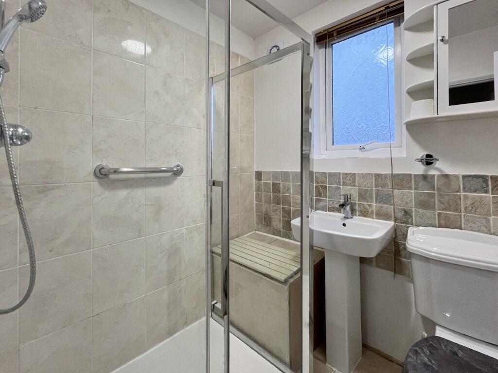
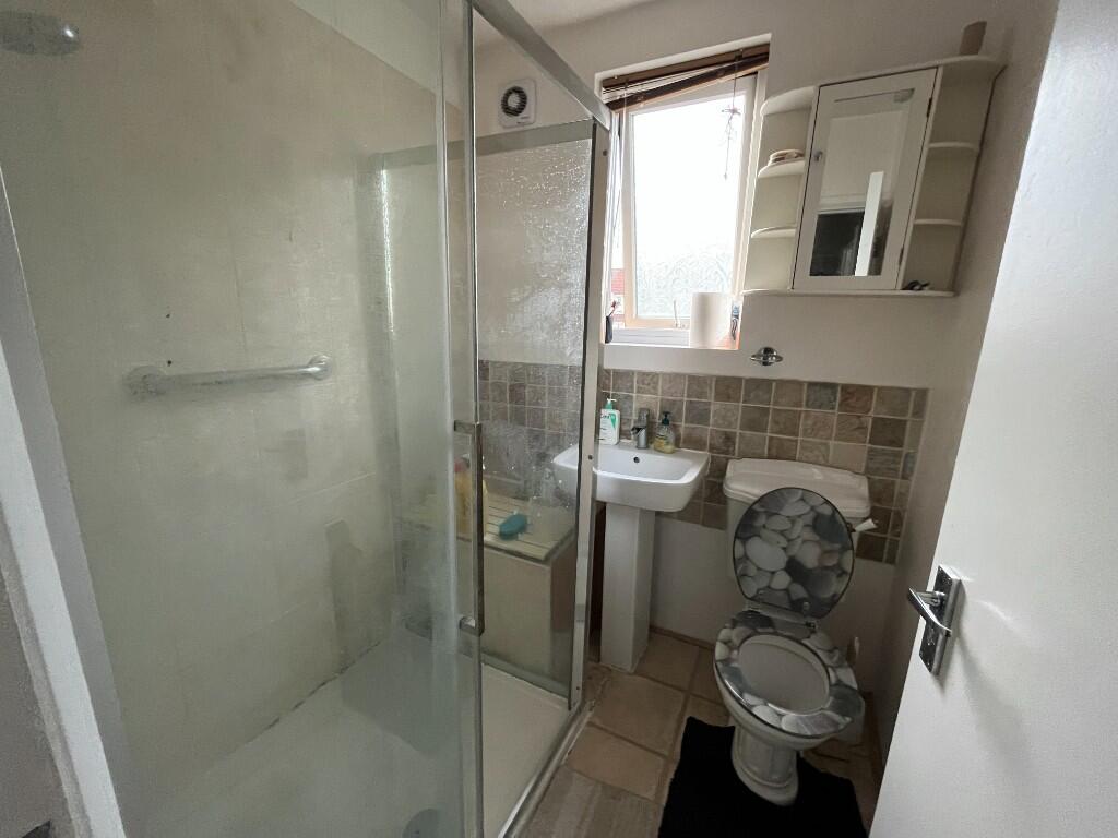
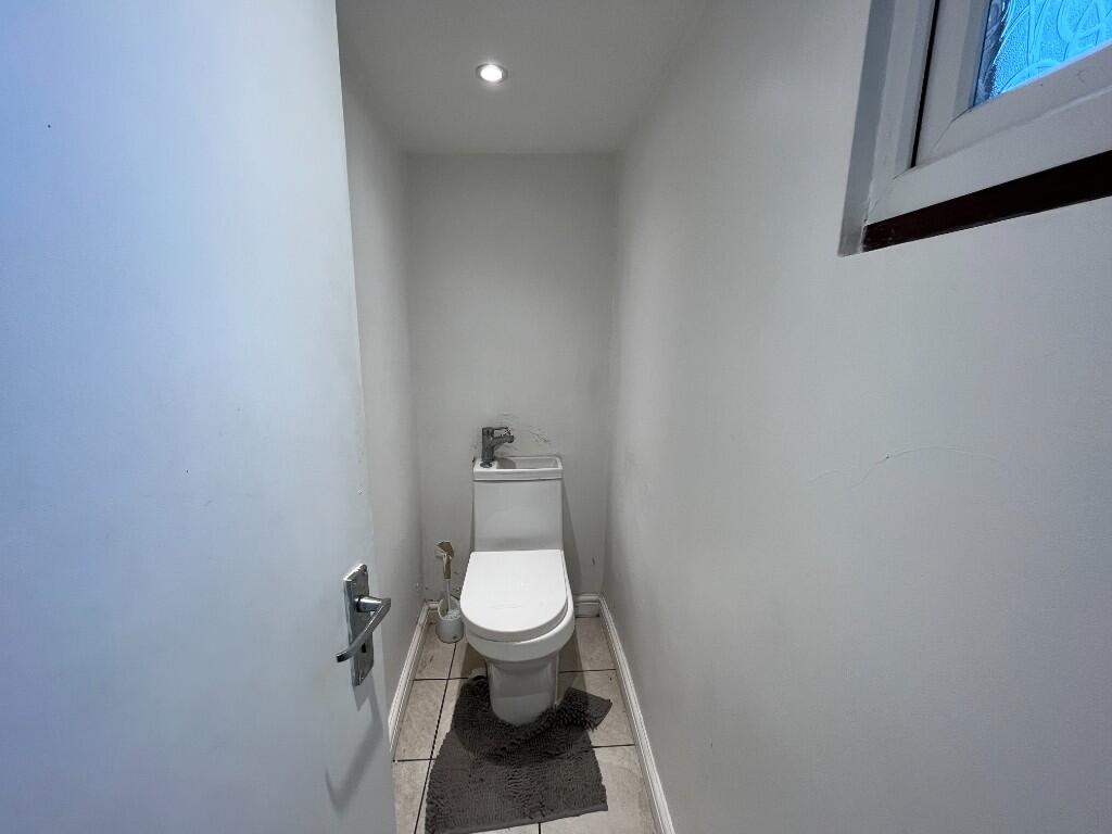
Images

Nearby Streets
| Name | Average Price | Average Sqft | Distance |
|---|---|---|---|
| Lawn Close | £ 0 | 0 | 0.00 KM |
| Ruskin Grove | £ 0 | 0 | 0.00 KM |
| Eliot Close | £ 345,000 | 0 | 0.00 KM |
| Buxton Walk | £ 0 | 0 | 0.00 KM |
| Joyce Close | £ 0 | 0 | 0.00 KM |
Nearby Transport
| Name | NLC | TLC | Distance |
|---|---|---|---|
| Filton Abbey Wood | 3235 | FIT | 0.66 KM |
| Patchway | 3213 | PWY | 2.73 KM |
| Bristol Parkway | 3230 | BPW | 3.11 KM |
| Stapleton Road | 3250 | SRD | 3.83 KM |
| Montpelier | 3203 | MTP | 4.40 KM |
Nearby Listings
| Address | Price | Type | Score | Distance |
|---|---|---|---|---|
| Kipling Road, Bristol, BS7 | £ 2,650 | RENT | Unknown | 0.00 KM |
| Kipling Road, Bristol, BS7 | £ 1,680 | RENT | Unknown | 0.00 KM |
| Kipling Road, Bristol, BS7 | £ 1,650 | RENT | Unknown | 0.00 KM |
| Kipling Road, Bristol, BS7 | £ 1,700 | RENT | Unknown | 0.00 KM |
| Kipling Road, Bristol, BS7 | £ 600 | RENT | Unknown | 0.00 KM |
Nearby Properties
| Address | Price | Distance |
|---|---|---|
| 5 Kipling Road | £ 324,500 | 0.00 KM |
| 15 Kipling Road | £ 280,000 | 0.00 KM |
| 19 Kipling Road | £ 235,000 | 0.00 KM |
| 35 Kipling Road | £ 159,995 | 0.00 KM |
| 3 Kipling Road | £ 231,500 | 0.00 KM |