PE
Ernest Avenue, West Norwood, London, SE27
By Pedder
£ 1,500
Pedder says ..
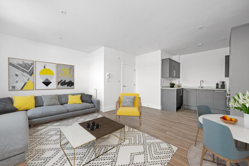
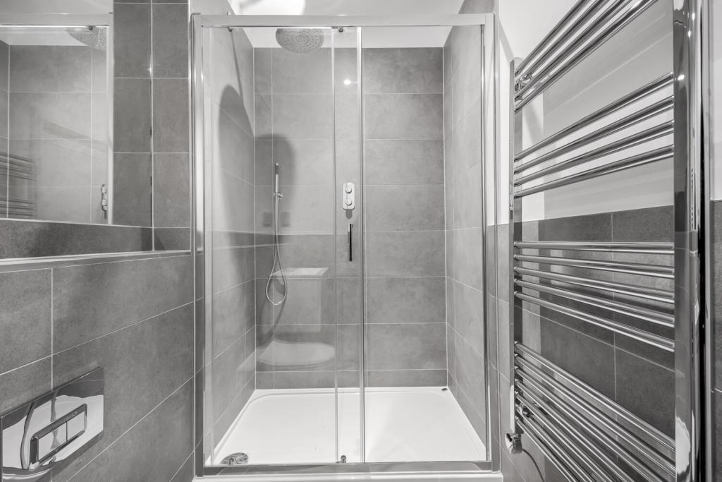
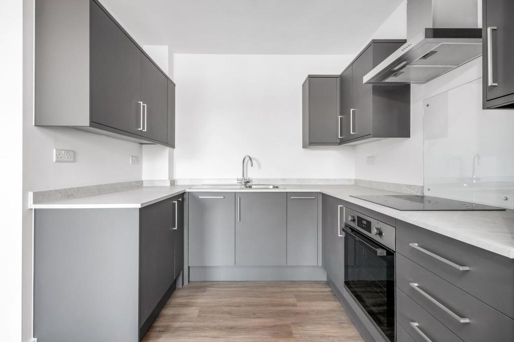
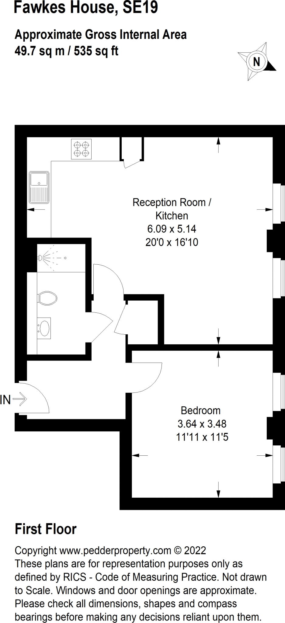
A brand new development consisting of four high specification apartments in close proximity to West Norwood train station.
- Bedrooms
- 1
- Bathrooms
- 1
The heatmap indicates the level of crime in the area. The color of the heatmap indicates the crime severity and recency.
Metrics Year-on-Year
- Average area value
- 696,167.00 £Decreased by 17.95 %
- Average area rental value
- 2,133.00 £/moDecreased by 1.25 %
- Est rental Yield
- 3.68 %Increased by 20.26 %
- Crime Rate
- 11.00 %Unchanged by 0.00 %
from 848,431.00 £
from 2,160.00 £/mo
from 3.06 %
from 11.00 %
Agent Activity
Pedder created the listing.
Nearby Schools
| Name | Type | Ofsted | Distance |
|---|---|---|---|
| Julian'S School | Foundation School | Good | 0.30 KM |
| St Luke'S Church Of England Primary School | Academy Converter | 0.49 KM | |
| Park Campus Academy | Academy Alternative Provision Converter | Good | 0.60 KM |
| Kingswood Primary School & Children'S Centre | Children's Centre | 0.80 KM | |
| Norwood School | Community School | Good | 0.84 KM |
Images
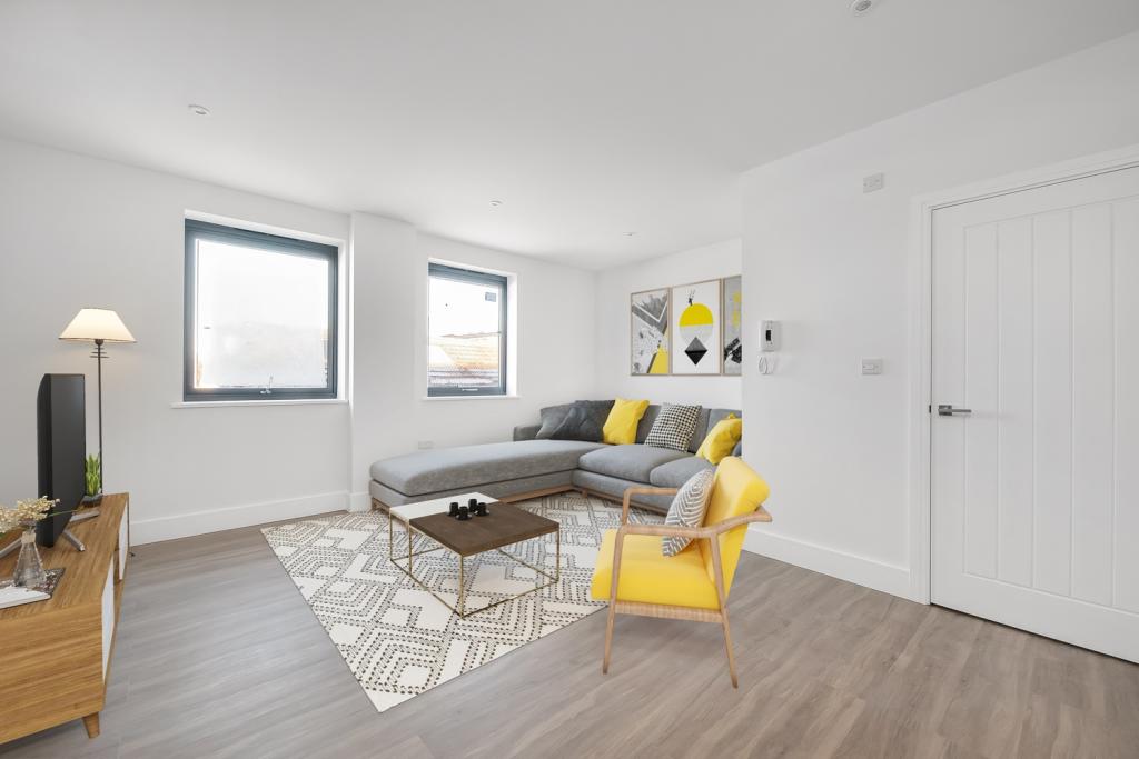
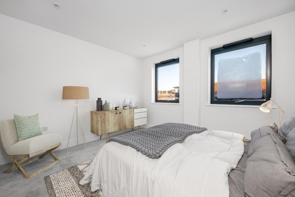
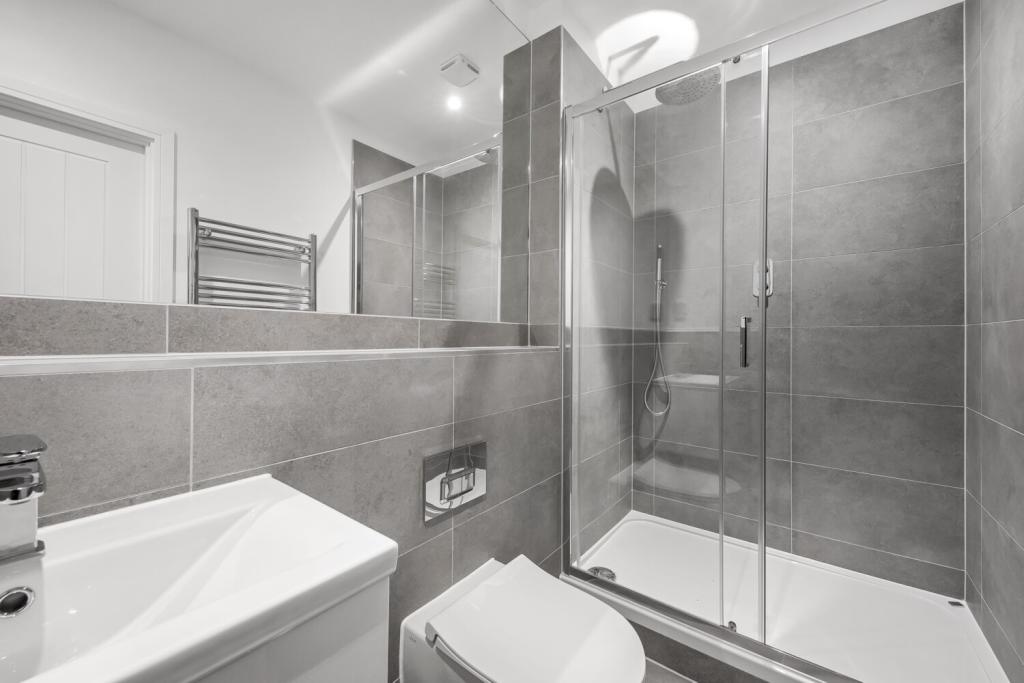
Nearby Streets
| Name | Average Price | Average Sqft | Distance |
|---|---|---|---|
| Auckland Hill | £ 0 | 0 | 0.00 KM |
| Eden Road | £ 0 | 0 | 0.00 KM |
| Church Road | £ 0 | 0 | 0.00 KM |
| Yeomans Close | £ 0 | 0 | 0.00 KM |
| Tredwell Road | £ 0 | 0 | 0.00 KM |
Nearby Transport
| Name | NLC | TLC | Distance |
|---|---|---|---|
| West Norwood | 5438 | WNW | 0.22 KM |
| Tulse Hill | 5390 | TUH | 1.13 KM |
| West Dulwich | 5086 | WDU | 1.77 KM |
| Gipsy Hill | 5363 | GIP | 2.22 KM |
| Sydenham Hill | 5085 | SYH | 2.54 KM |
Nearby Listings
| Address | Price | Type | Score | Distance |
|---|---|---|---|---|
| St. Julians Farm Road, London, SE27 | £ 1,200 | RENT | Unknown | 0.10 KM |
| Cotswold Street, West Norwood, SE27 | £ 1,450 | RENT | Unknown | 0.15 KM |
| Cotswold Street, West Norwood, SE27 | £ 1,750 | RENT | Unknown | 0.15 KM |
| Thornlaw, London, SE27 | £ 1,195 | RENT | Unknown | 0.19 KM |
| Cranfield Close, West Norwood | £ 1,200 | RENT | Unknown | 0.20 KM |
Nearby Properties
| Address | Price | Distance |
|---|---|---|
| 50a Norwood High Street | £ 63,000 | 0.13 KM |
| 50b Norwood High Street | £ 229,000 | 0.13 KM |
| 38 Norwood High Street | £ 400,000 | 0.13 KM |
| 34 Norwood High Street | £ 150,000 | 0.13 KM |
| 9 Cotswold Street | £ 600,000 | 0.15 KM |