HO
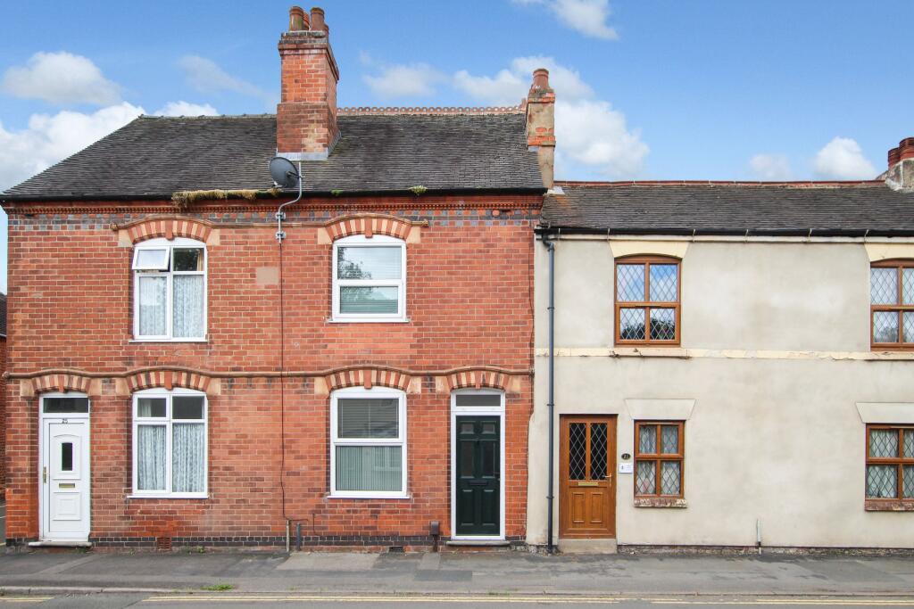
Bosworth Road
By Howland Jones
£ 825
Howland Jones says ..
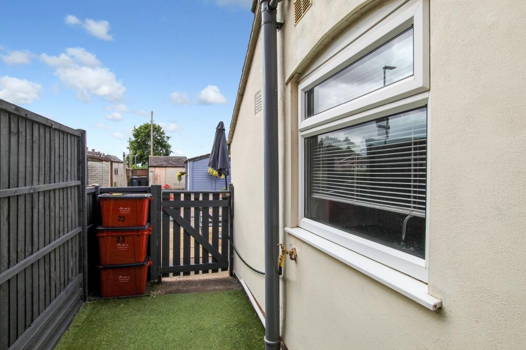
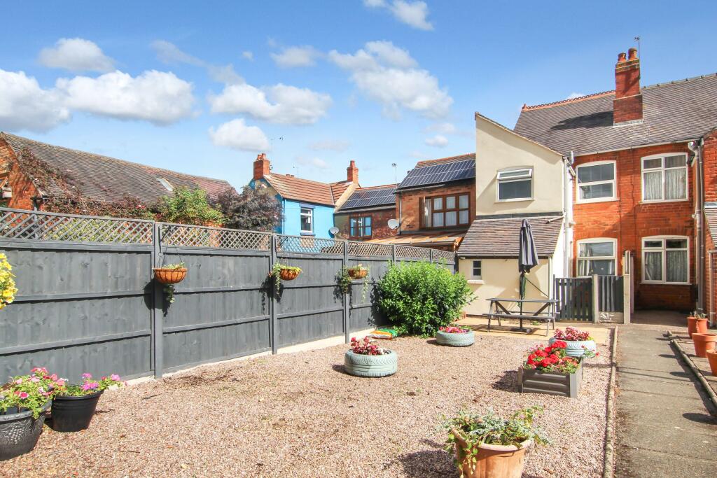
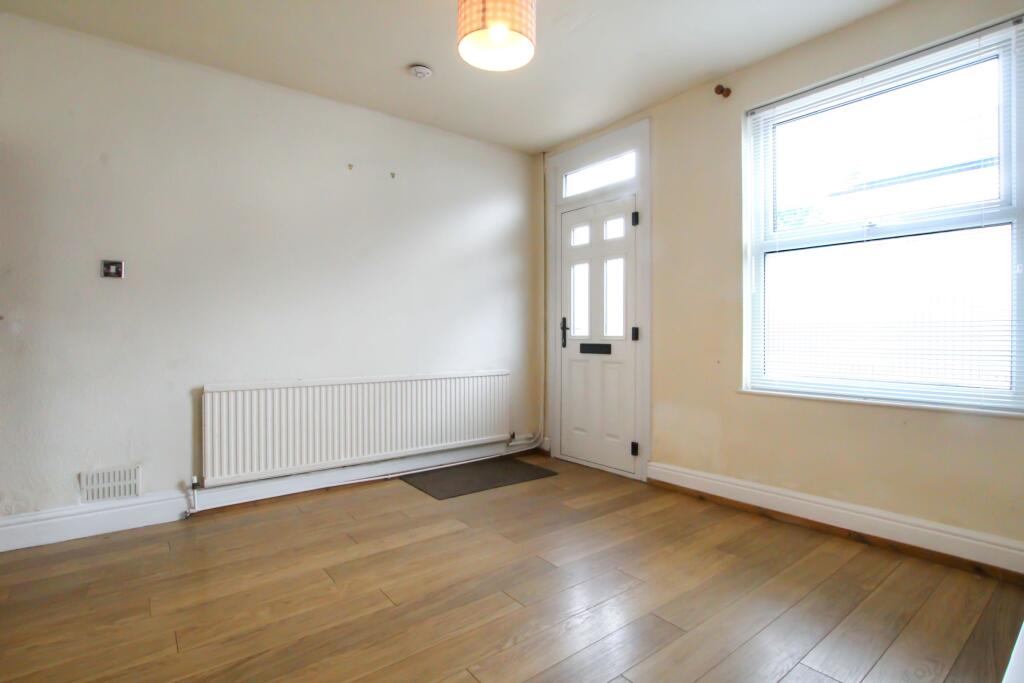
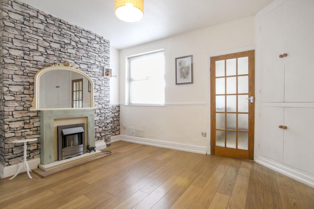
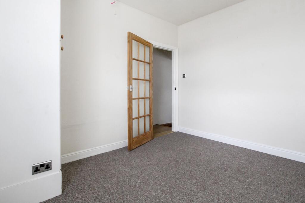
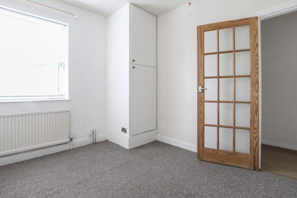
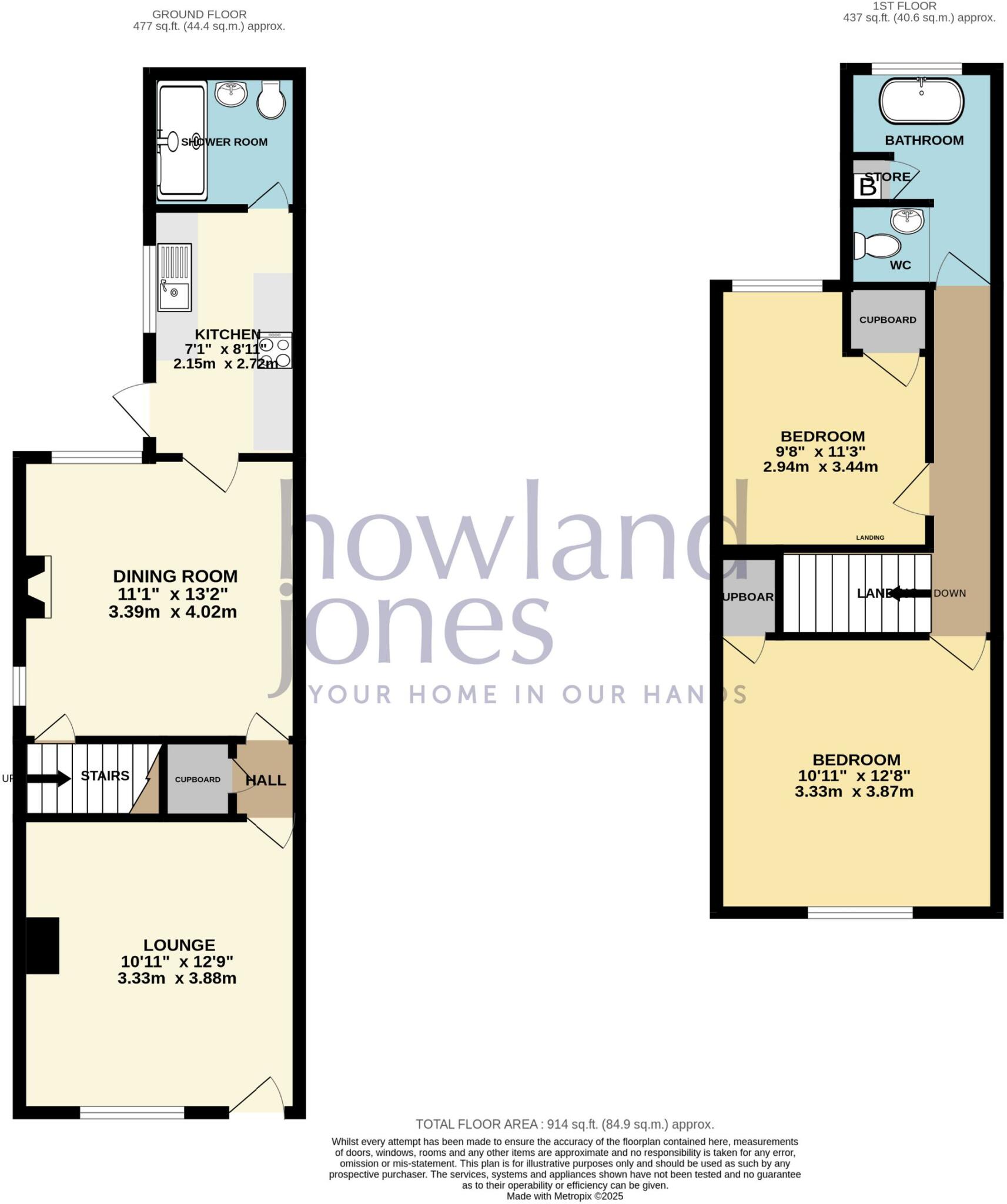
2 BED MID TERRACED
- Bedrooms
- 2
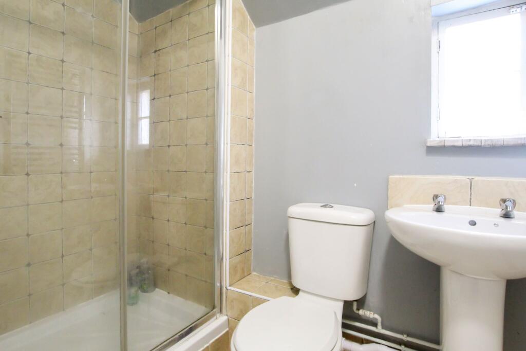
- Bathrooms
- 1
The heatmap indicates the level of crime in the area. The color of the heatmap indicates the crime severity and recency.
Metrics Year-on-Year
- Average area value
- 229,995.00 £Decreased by 17.52 %
- Average area rental value
- 1,173.00 £/moIncreased by 63.60 %
- Est rental Yield
- 6.12 %Increased by 98.06 %
- Crime Rate
- 24.00 %Unchanged by 0.00 %
from 278,839.00 £
from 717.00 £/mo
from 3.09 %
from 24.00 %
Agent Activity
Howland Jones created the listing.
Nearby Schools
| Name | Type | Ofsted | Distance |
|---|---|---|---|
| Measham Sure Start Children'S Centre | Children's Centre | 0.01 KM | |
| Measham Church Of England Primary School | Academy Converter | Good | 0.11 KM |
| St Charles Catholic Primary Voluntary Academy | Academy Converter | 0.41 KM | |
| Oakthorpe Primary School | Academy Converter | Good | 1.90 KM |
| Donisthorpe Primary School | Community School | Good | 2.82 KM |
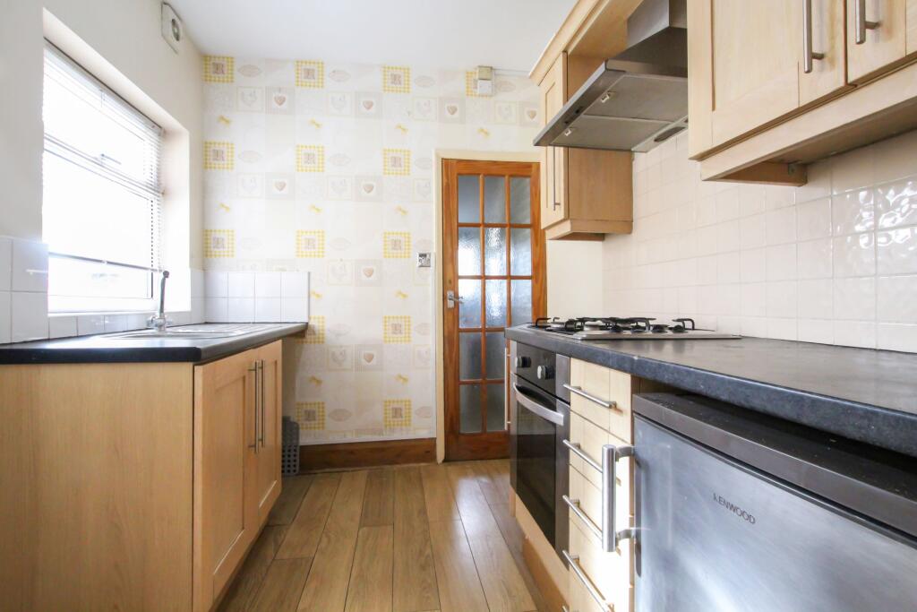
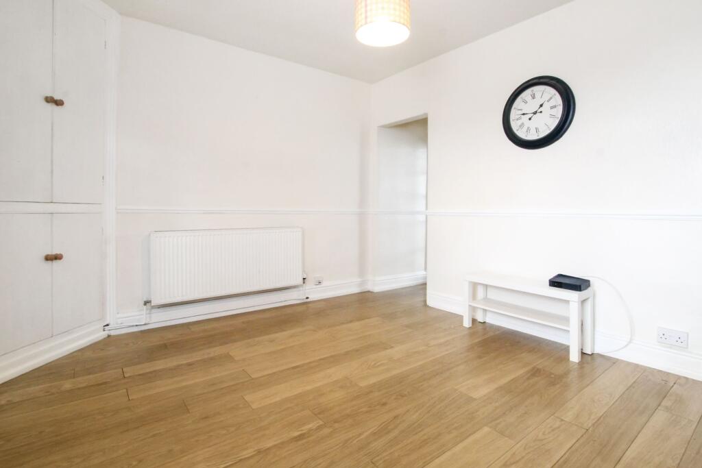
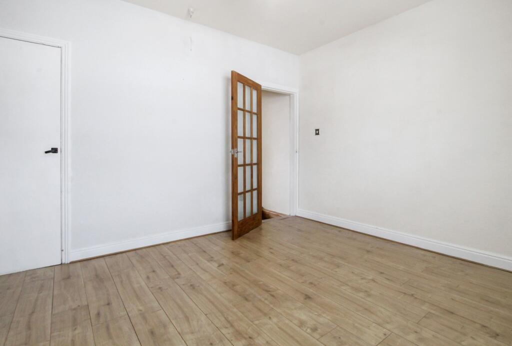
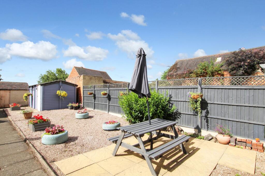
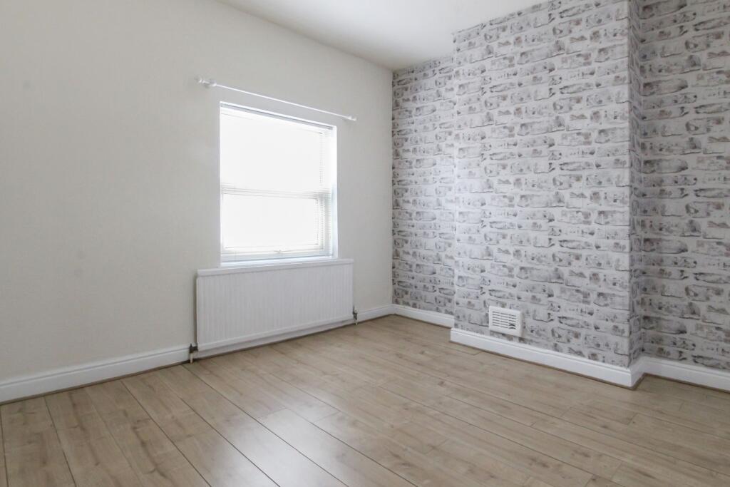
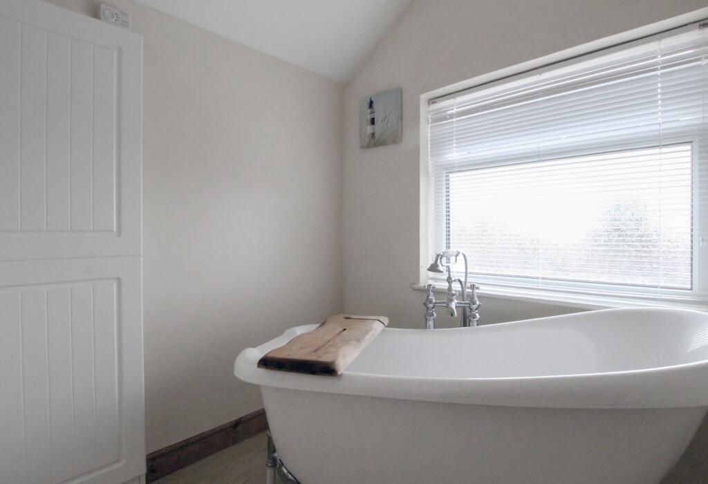
Images


Nearby Streets
| Name | Average Price | Average Sqft | Distance |
|---|---|---|---|
| Rowan Close | £ 290,000 | 0 | 0.00 KM |
| Hawthorne Close | £ 0 | 0 | 0.00 KM |
| Grassy Lane | £ 0 | 0 | 0.00 KM |
| Windsor Way | £ 290,000 | 0 | 0.00 KM |
| Shelley Close | £ 0 | 0 | 0.00 KM |
Nearby Listings
| Address | Price | Type | Score | Distance |
|---|---|---|---|---|
| Bosworth Road | £ 825 | RENT | Unknown | 0.00 KM |
| Saracen Row | £ 995 | RENT | Unknown | 0.13 KM |
| High Street, Measham | £ 1,325 | RENT | Unknown | 0.13 KM |
| Queens Street Measham DE12 | £ 1,150 | RENT | Unknown | 0.18 KM |
| Navigation Street, Measham, Swadlincote | £ 825 | RENT | Unknown | 0.18 KM |
Nearby Properties
| Address | Price | Distance |
|---|---|---|
| 24 Bosworth Road | £ 100,000 | 0.00 KM |
| 5 Bosworth Road | £ 39,500 | 0.00 KM |
| 55 Bosworth Road | £ 106,500 | 0.00 KM |
| 38 Bosworth Road | £ 124,000 | 0.00 KM |
| 17 Bosworth Road | £ 190,000 | 0.00 KM |