
TE
Ford Road, Newport
By Tempertons
£ 950
Tempertons says ..
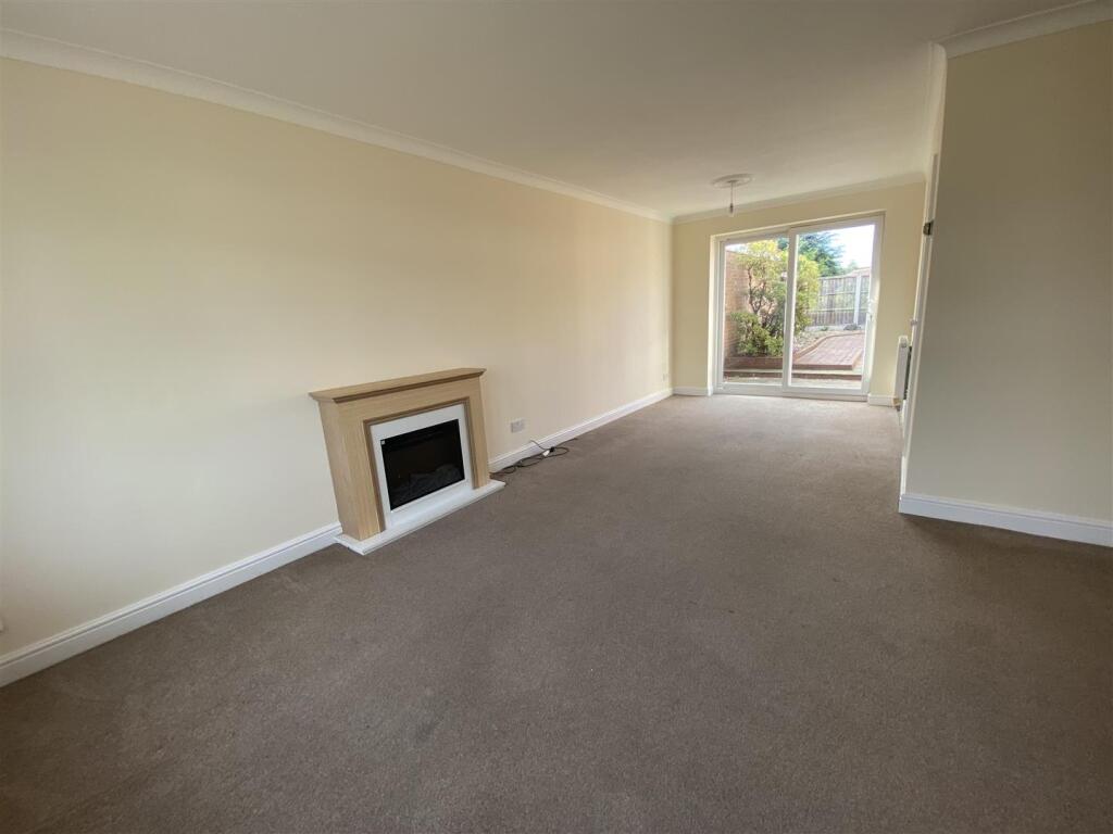
A three bedroomed, link detached house, situated in a popular residential area
- Bedrooms
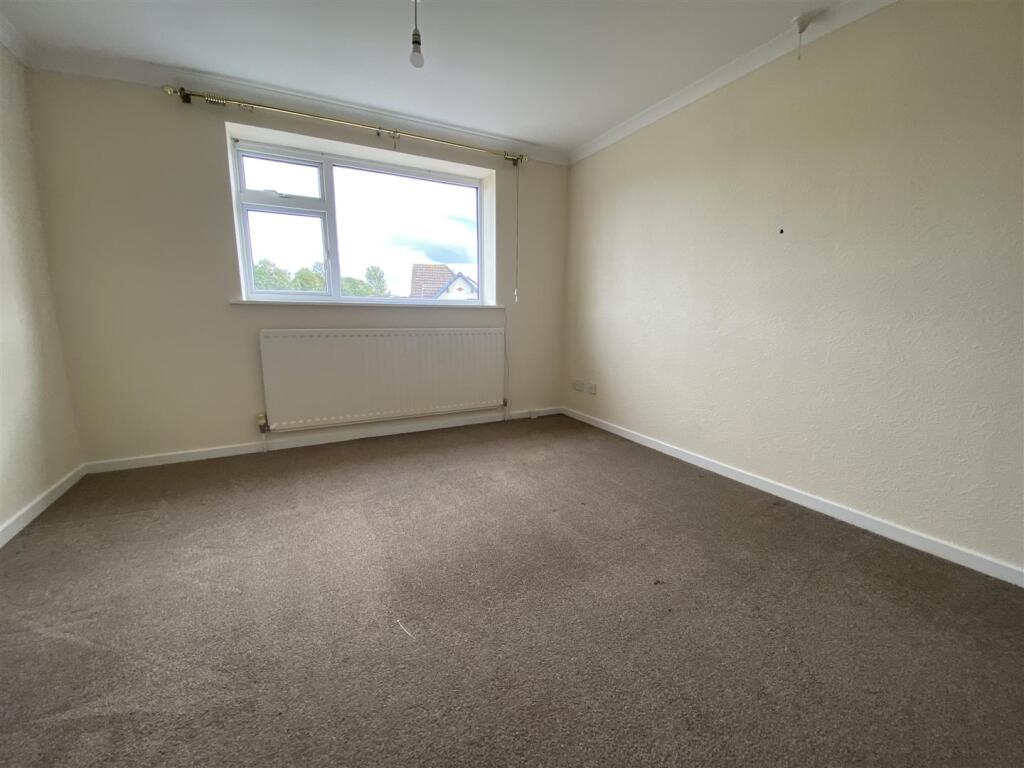
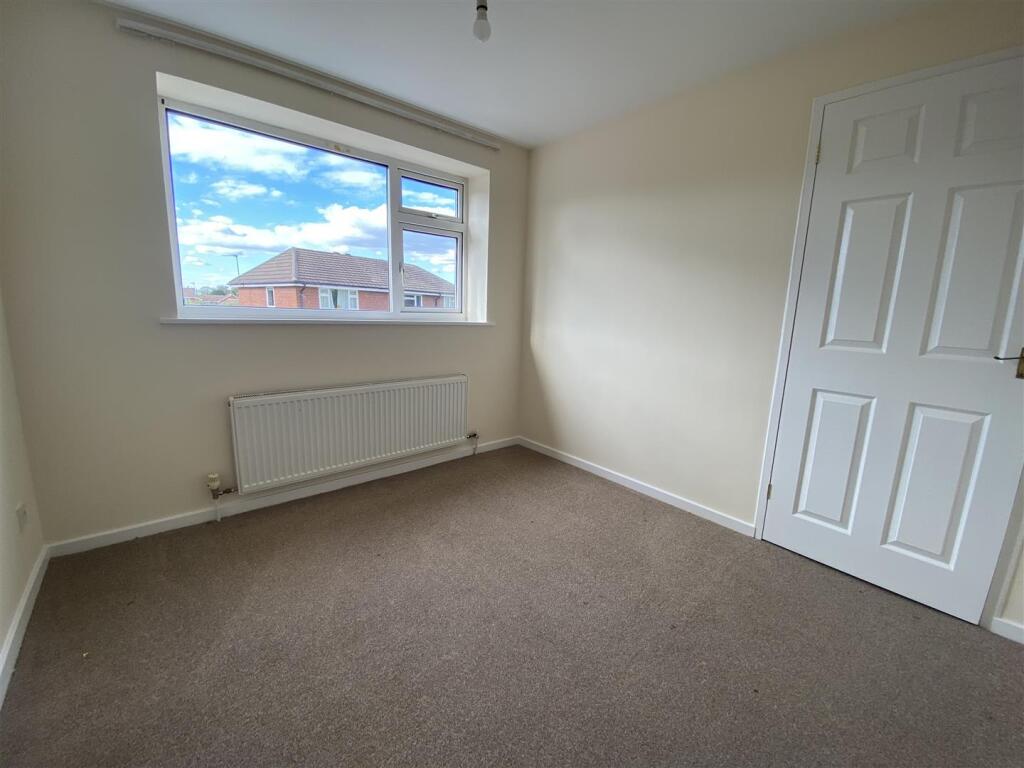
- 3
- Bathrooms
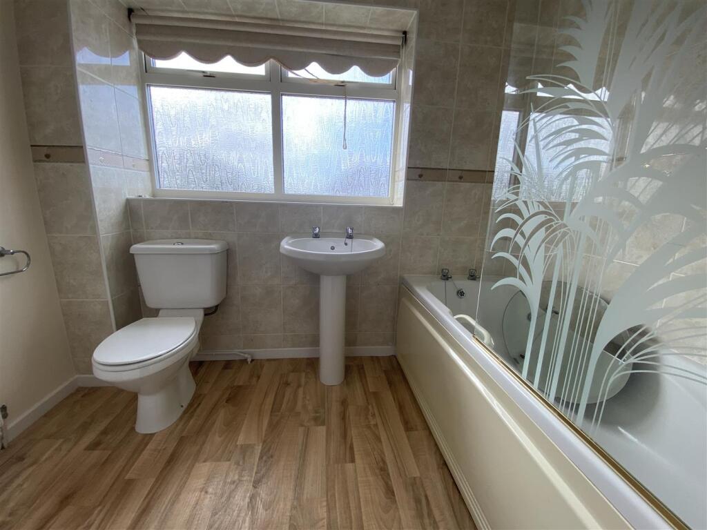
- 1
The heatmap indicates the level of crime in the area. The color of the heatmap indicates the crime severity and recency.
Metrics Year-on-Year
- Average area value
- 382,875.00 £Decreased by 13.12 %
- Average area rental value
- 1,824.00 £/moIncreased by 43.40 %
- Est rental Yield
- 5.72 %Increased by 65.32 %
- Crime Rate
- 8.00 %Unchanged by 0.00 %
from 440,686.00 £
from 1,272.00 £/mo
from 3.46 %
from 8.00 %
Agent Activity
Tempertons created the listing.
Nearby Schools
| Name | Type | Ofsted | Distance |
|---|---|---|---|
| Moorfield Primary School | Foundation School | Outstanding | 0.38 KM |
| Newport Girls' High School Academy | Academy Converter | 0.45 KM | |
| Haberdashers' Adams | Academy Converter | Outstanding | 0.70 KM |
| Church Aston Infant School | Community School | Good | 0.98 KM |
| Newport Church Of England Voluntary Controlled Junior School | Voluntary Controlled School | Good | 1.02 KM |
Images


Nearby Streets
| Name | Average Price | Average Sqft | Distance |
|---|---|---|---|
| Longford Road | £ 298,500 | 0 | 0.00 KM |
| Greenvale | £ 0 | 0 | 0.00 KM |
| Brookside Avenue | £ 0 | 0 | 0.00 KM |
| Trinity Mews | £ 0 | 0 | 0.00 KM |
| Richmond Close | £ 0 | 0 | 0.00 KM |
Nearby Listings
| Address | Price | Type | Score | Distance |
|---|---|---|---|---|
| Ford Road, Newport | £ 950 | RENT | Unknown | 0.00 KM |
| Aston Drive, Newport | £ 800 | RENT | Unknown | 0.06 KM |
| Ingestre Close, Newport | £ 1,050 | RENT | Unknown | 0.31 KM |
| Farmers Gate, Newport | £ 995 | RENT | Unknown | 0.32 KM |
| Farmers Gate, Newport | £ 895 | RENT | Unknown | 0.32 KM |
Nearby Properties
| Address | Price | Distance |
|---|---|---|
| 5 Aston Drive | £ 135,000 | 0.05 KM |
| 10 Aston Drive | £ 220,000 | 0.05 KM |
| 23 Aston Drive | £ 181,000 | 0.05 KM |
| 9 Aston Drive | £ 66,250 | 0.05 KM |
| 12 Aston Drive | £ 137,000 | 0.05 KM |