HO
Lily Way, LOWESTOFT
By Howards Lettings
£ 1,050
Howards Lettings says ..
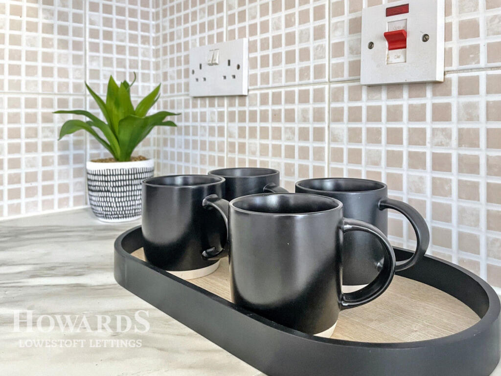
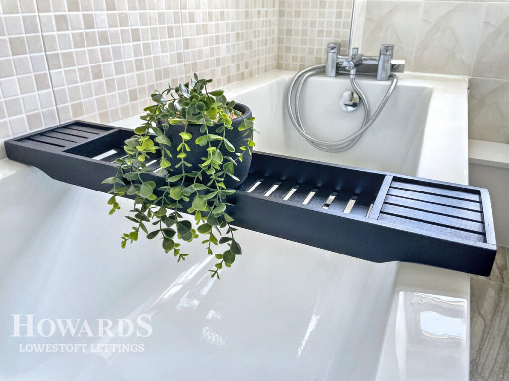
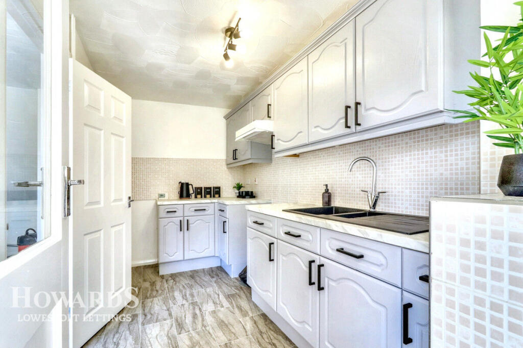
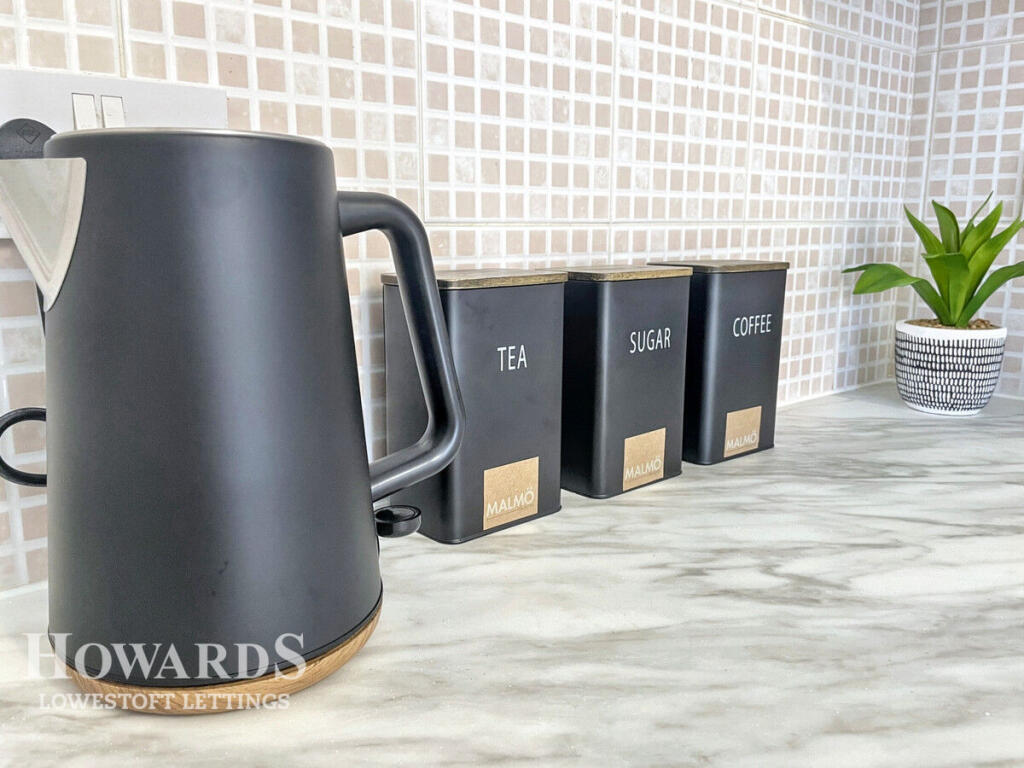
Take a look, there's pleasure in the details
- Bedrooms
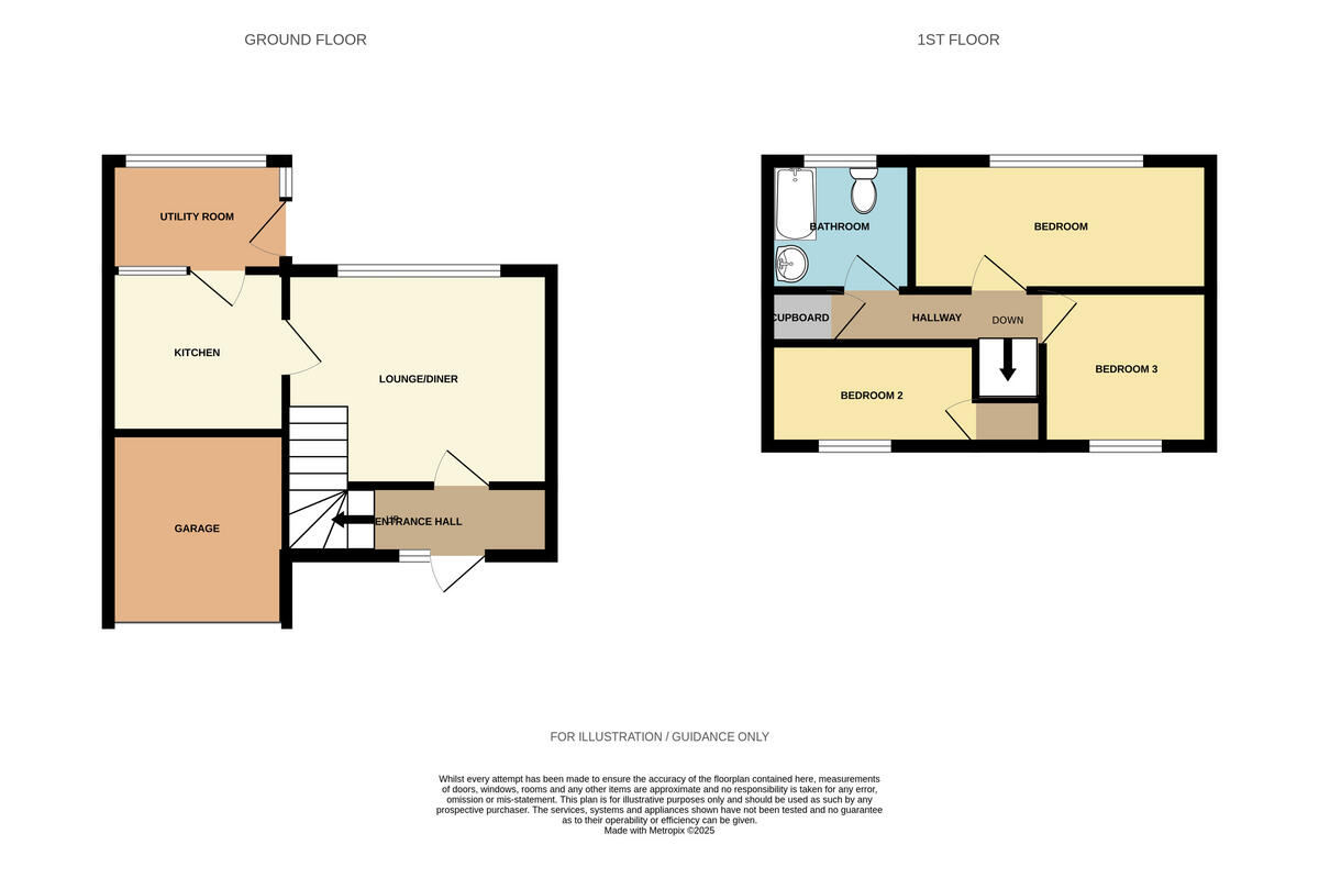
- 3
- Bathrooms
- 1
The heatmap indicates the level of crime in the area. The color of the heatmap indicates the crime severity and recency.
Metrics Year-on-Year
- Average area value
- 288,333.00 £Increased by 10.80 %
- Average area rental value
- 963.00 £/moIncreased by 6.06 %
- Est rental Yield
- 4.01 %Decreased by 4.30 %
- Crime Rate
- 16.00 %Unchanged by 0.00 %
from 260,238.00 £
from 908.00 £/mo
from 4.19 %
from 16.00 %
Agent Activity
Howards Lettings created the listing.
Nearby Schools
| Name | Type | Ofsted | Distance |
|---|---|---|---|
| Uplands Children'S Centre | Children's Centre | 0.30 KM | |
| Grove Primary School | Academy Sponsor Led | Requires improvement | 0.45 KM |
| Warren School | Academy Special Sponsor Led | 0.48 KM | |
| Elm Tree Primary School | Academy Sponsor Led | Requires improvement | 1.46 KM |
| The Everitt Academy | Free Schools Special | Serious Weaknesses | 1.48 KM |
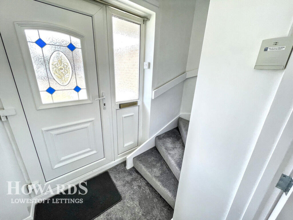
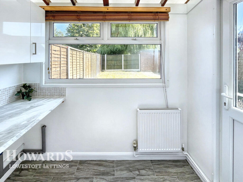
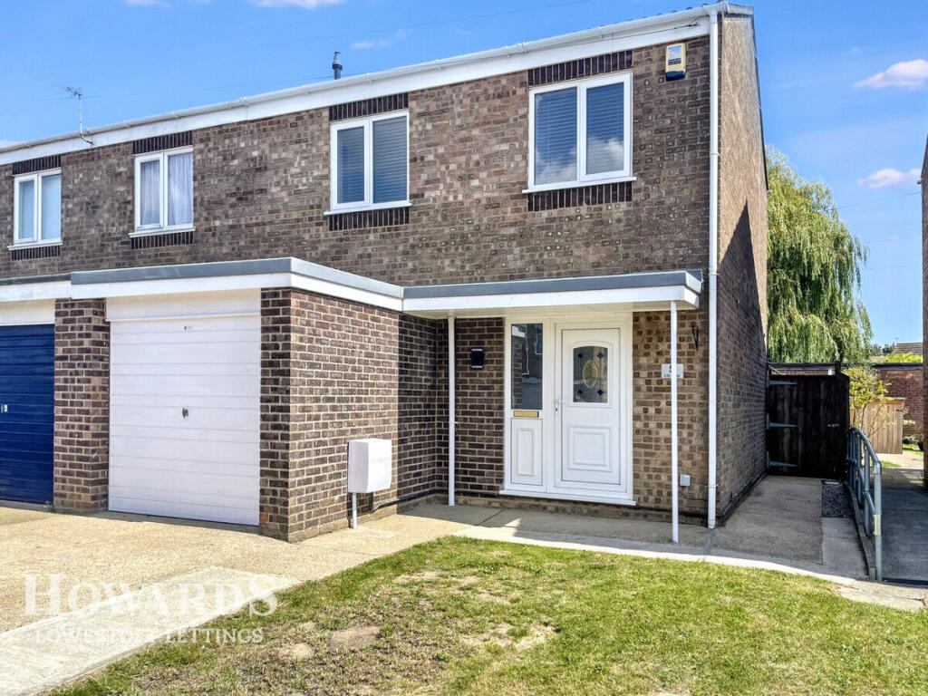
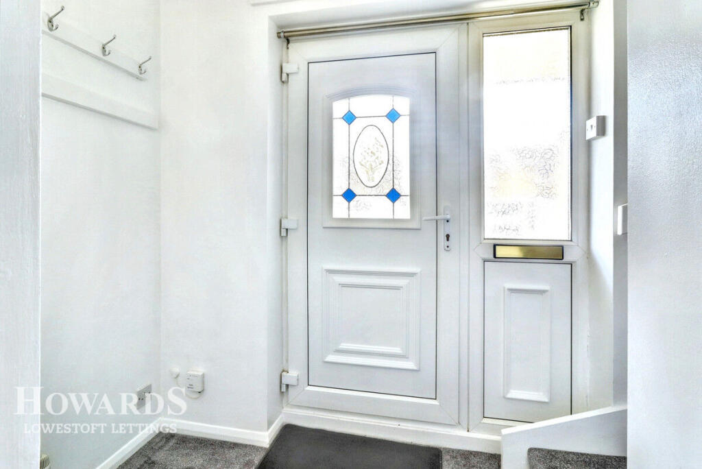
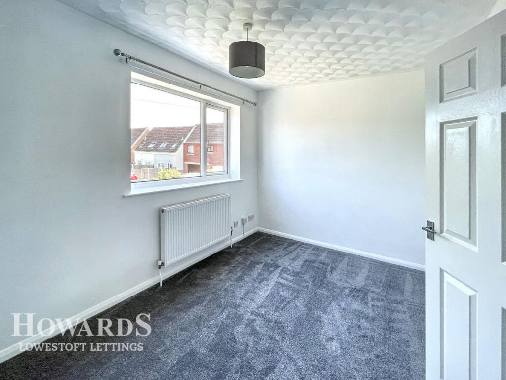
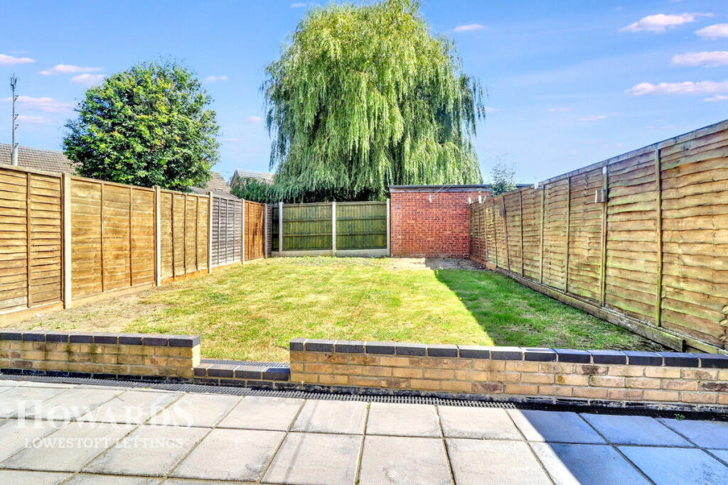
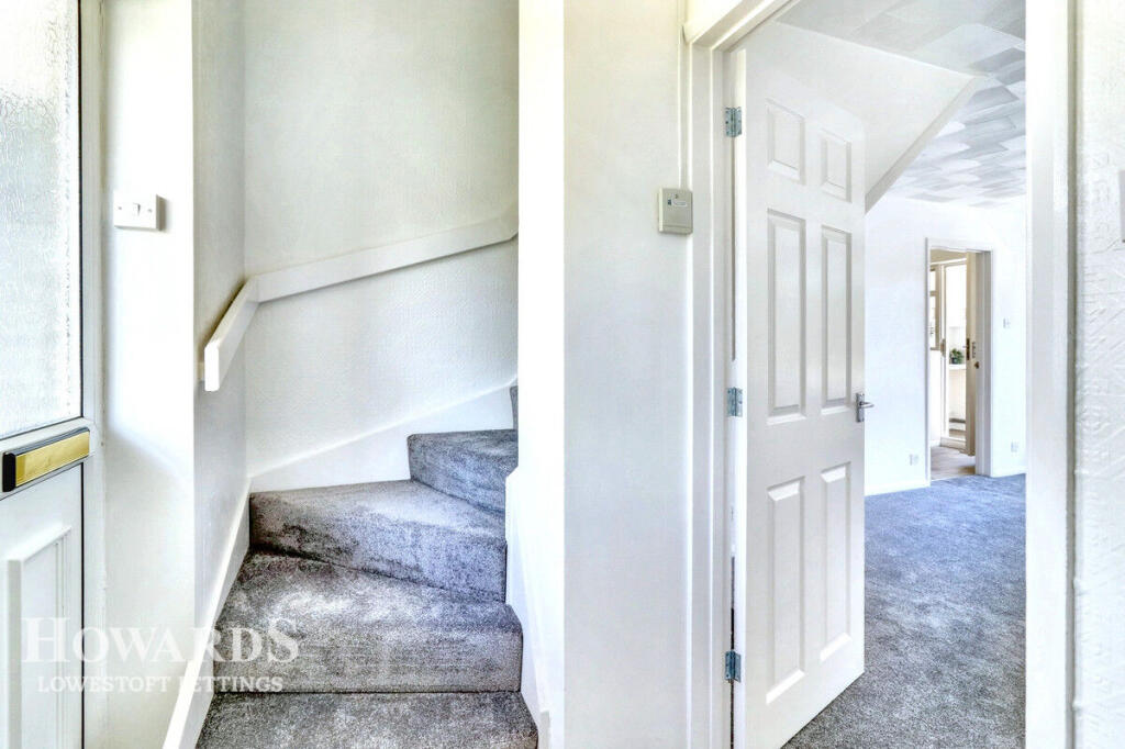
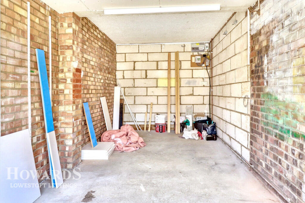
Images


Nearby Streets
| Name | Average Price | Average Sqft | Distance |
|---|---|---|---|
| Hollow Grove Way | £ 282,500 | 0 | 0.00 KM |
| Grove Road North | £ 0 | 0 | 0.00 KM |
| Arundel Way | £ 400,000 | 0 | 0.00 KM |
| Arundel Way | £ 0 | 0 | 0.00 KM |
| Farm Close | £ 0 | 0 | 0.00 KM |
Nearby Transport
| Name | NLC | TLC | Distance |
|---|---|---|---|
| Oulton Broad South | 7274 | OUS | 1.47 KM |
| Oulton Broad North | 7273 | OUN | 2.75 KM |
| Lowestoft | 7268 | LWT | 5.91 KM |
| Somerleyton | 7320 | SYT | 7.53 KM |
Nearby Listings
| Address | Price | Type | Score | Distance |
|---|---|---|---|---|
| Lily Way, LOWESTOFT | £ 1,050 | RENT | Unknown | 0.00 KM |
| Cowslip Crescent, Lowestoft, NR33 | £ 850 | RENT | Unknown | 0.26 KM |
| Pollard Piece, Carlton Colville, Lowestoft, NR33 | £ 800 | RENT | Unknown | 0.34 KM |
| Bittern Green, Oulton Broad, NR33 | £ 2,000 | RENT | Unknown | 0.51 KM |
| Mayfield Road, Carlton Colville, Lowestoft, Suffolk, NR33 | £ 850 | RENT | Unknown | 0.52 KM |
Nearby Properties
| Address | Price | Distance |
|---|---|---|
| 11 Lily Way | £ 149,995 | 0.04 KM |
| 12 Lily Way | £ 36,995 | 0.04 KM |
| 14 Lily Way | £ 136,995 | 0.04 KM |
| 4 Lily Way | £ 165,000 | 0.04 KM |
| 20 Lily Way | £ 107,500 | 0.04 KM |