
Higher Drive, Banstead
By MICHAEL EVERETT AND COMPANY (BANSTEAD) LIMITED
£ 1,600,000
Reviews
4 out of 5 stars
MICHAEL EVERETT AND COMPANY (BANSTEAD) LIMITED says ..
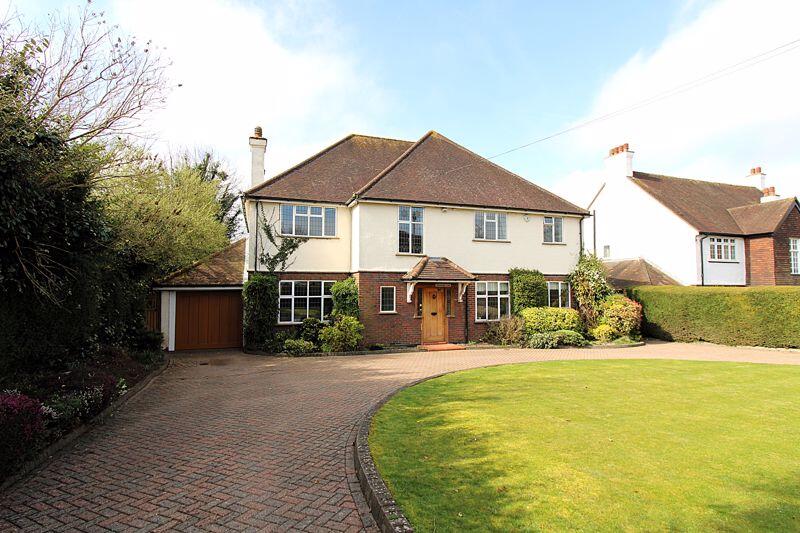
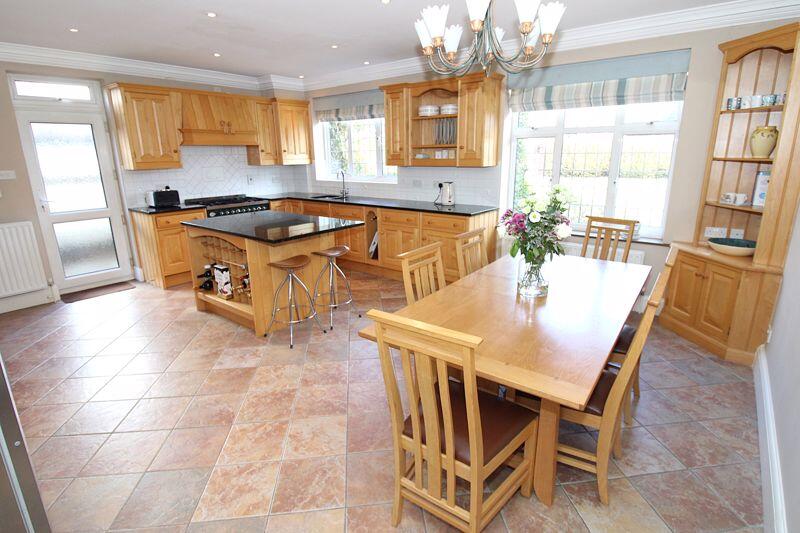
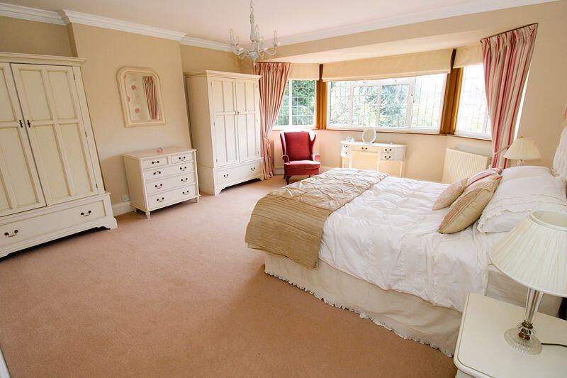
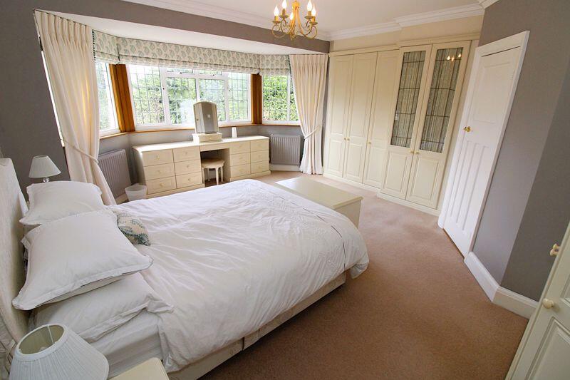
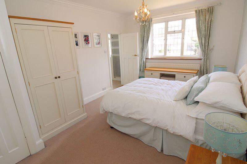
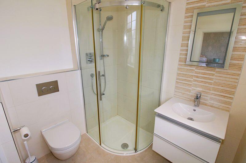
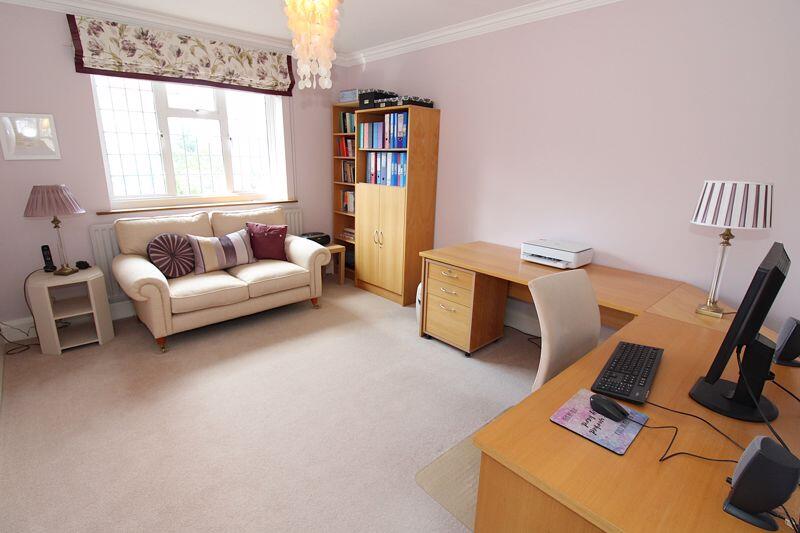
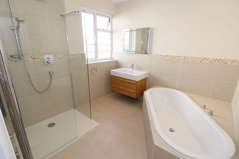
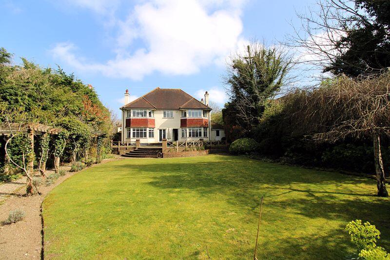
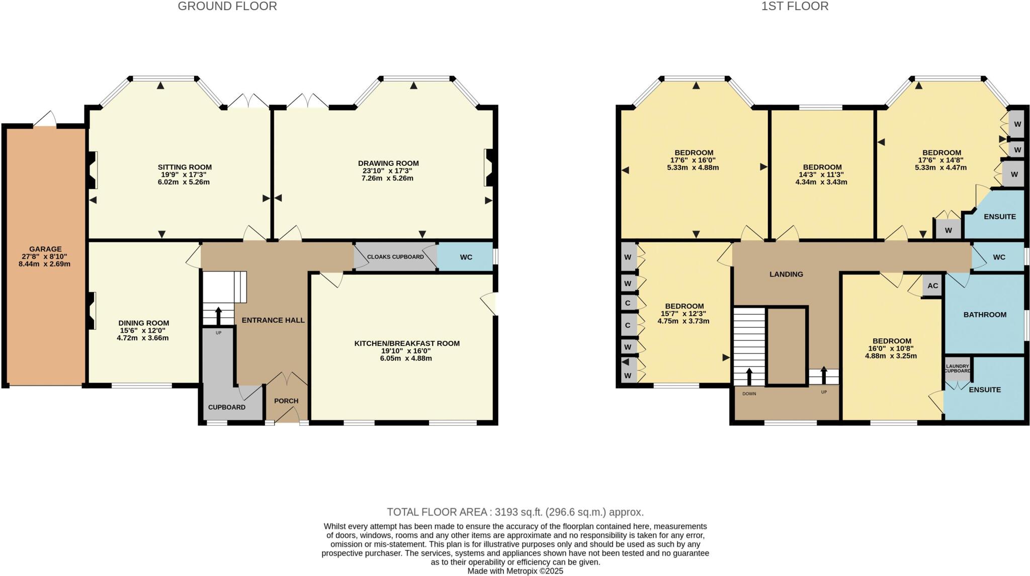
An extremely well presented detached family home, situated in favoured quiet crescent within a half a mile walk of Banstead Train Station and Cuddington Golf Club. The property offers versatile accommodation over two floors with the ground floor offering an entrance porch, part galleried entrance...
Property Oracle says ..
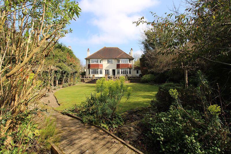
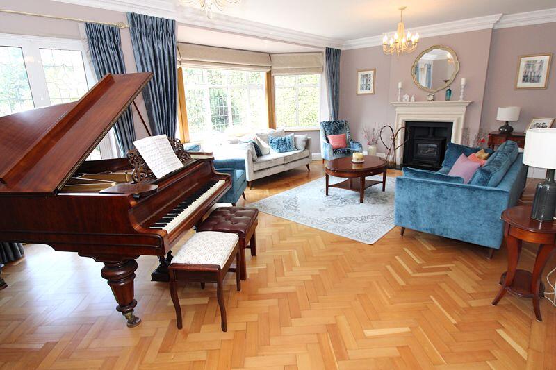
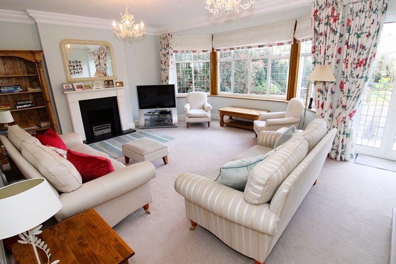
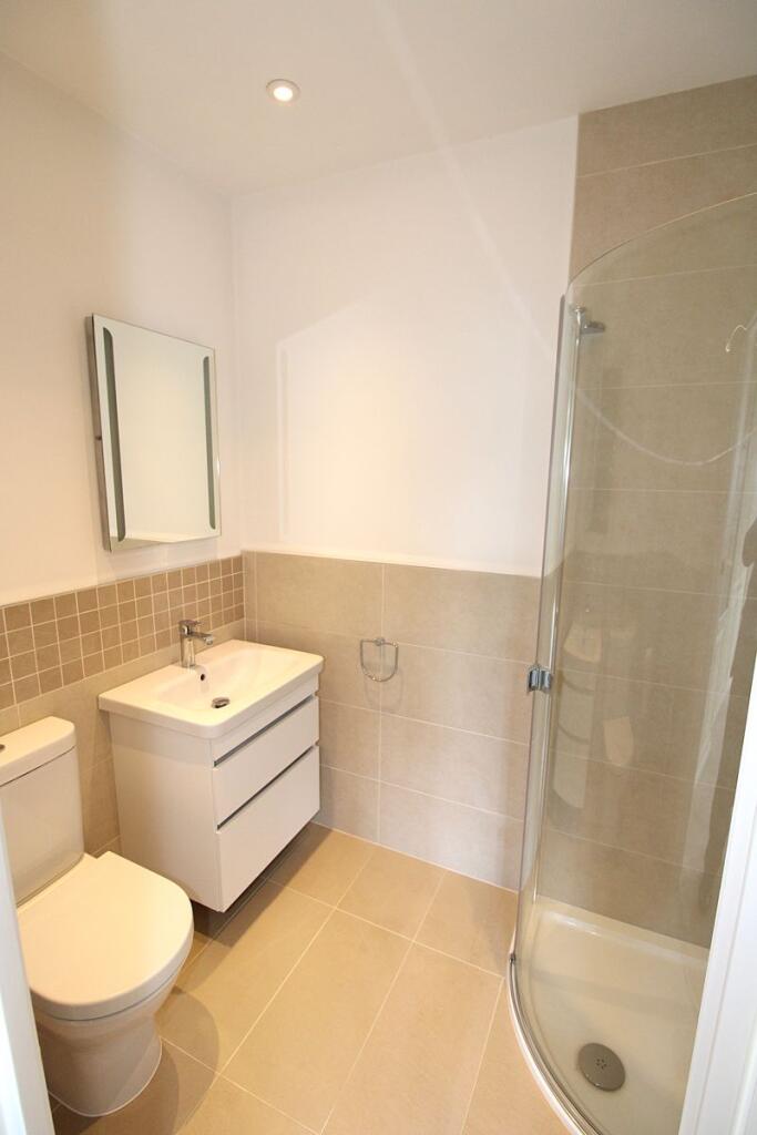
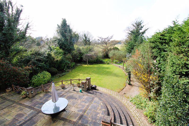
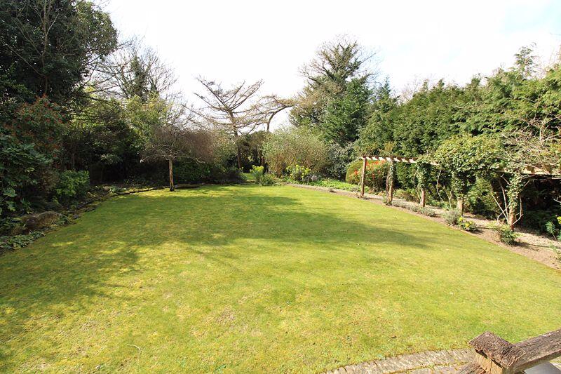
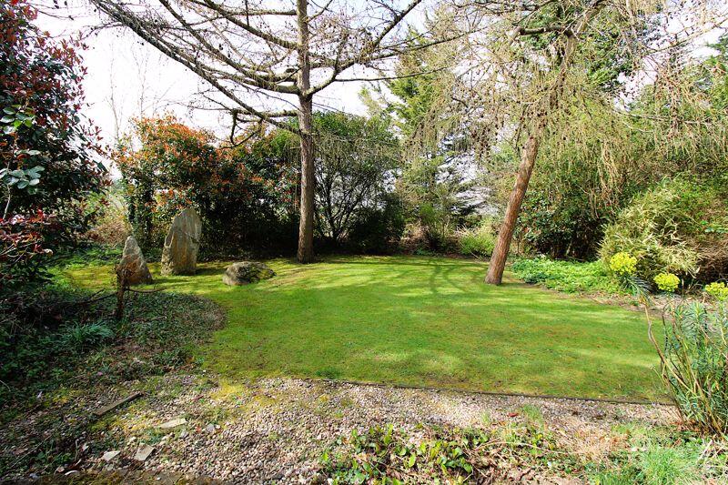
This property is a 5 bedroom detached house located on Higher Drive, Banstead, Surrey. The location benefits from being within easy reach of local schools, including Warren Mead Junior School (Good Ofsted rating) and Banstead Infant School (Good Ofsted rating), both within approximately 2km. Banstead railway station is also relatively close by, providing convenient access to London and other areas. The property itself is presented in good condition, appearing well-maintained and modernised. It features a spacious layout, including multiple reception rooms, a modern kitchen, and well-appointed bathrooms. The images reveal a substantial garden, offering ample outdoor space. Considering the property’s size (3193 sqft), condition, location, and the presence of a large garden, the list price of £1,600,000 appears to be in line with, or potentially slightly above, the average price for similar properties in the area. While nearby properties have sold for prices ranging from £930,000 to £1,250,000, the larger size and superior condition of this property could justify the higher asking price. However, a detailed comparison with similar properties in the immediate vicinity would be beneficial to further refine the price assessment.
Therefore, we give this property 8 / 10. *Disclaimer: This is our option and does constitute a recommendation or financial advice. Do your own research. *
- Price
- 7
- Condition
- 9
- Location
- 8
- Land
- 8
- Bedrooms
- 5
- Bathrooms
- 3
- Sqft (est)
- 3,193.00
The heatmap indicates the level of crime in the area. The color of the heatmap indicates the crime severity and recency.
Metrics Year-on-Year
- Average area value
- 783,500.00 £Decreased by 0.05 %
- Est sale value
- 1,986,046.00 £Increased by 5.78 %
- Average area rental value
- 2,348.00 £/moIncreased by 2.67 %
- Est letting value
- 3,193.00 £/moUnchanged by 0.00 %
- Est rental Yield
- 3.60 %Increased by 2.86 %
- Crime Rate
- 2.00 %Unchanged by 0.00 %
Agent Activity
MICHAEL EVERETT AND COMPANY (BANSTEAD) LIMITED created the listing.
Nearby Schools
| Name | Type | Ofsted | Distance |
|---|---|---|---|
| Warren Mead Junior School | Academy Converter | Good | 1.07 KM |
| Warren Mead Infant School | Academy Converter | 1.21 KM | |
| Banstead Infant School | Academy Converter | Good | 1.93 KM |
| Banstead Community Junior School | Community School | Good | 2.09 KM |
| Ymca Sure Start Children'S Centre In Banstead | Children's Centre | 2.10 KM |
Images


Nearby Streets
| Name | Average Price | Average Sqft | Distance |
|---|---|---|---|
| Acacia Drive | £ 625,000 | 0 | 0.00 KM |
| Chaucer Close | £ 0 | 0 | 0.00 KM |
| Birch Close | £ 625,000 | 0 | 0.00 KM |
| Brambling Close | £ 0 | 0 | 0.00 KM |
| Fairview | £ 1,250,000 | 0 | 0.00 KM |
Nearby Transport
| Name | NLC | TLC | Distance |
|---|---|---|---|
| Banstead | 5348 | BAD | 1.19 KM |
| Epsom Downs | 5361 | EPD | 1.99 KM |
| Ewell East | 5415 | EWE | 2.45 KM |
| Cheam | 5352 | CHE | 2.73 KM |
| Belmont | 5350 | BLM | 2.98 KM |
Nearby Listings
| Address | Price | Type | Score | Distance |
|---|---|---|---|---|
| Higher Drive, Banstead | £ 1,600,000 | BUY | 8 / 10 | 0.00 KM |
| Banstead Road, Banstead, Surrey, SM7 | £ 1,100,000 | BUY | 7 / 10 | 0.27 KM |
| Banstead Road, Banstead | £ 1,175,000 | BUY | 6 / 10 | 0.27 KM |
| Higher Drive, Banstead, Surrey, SM7 | £ 1,800,000 | BUY | 8 / 10 | 0.35 KM |
| Banstead Road, Banstead, SM7 1QZ | £ 915,000 | BUY | 7 / 10 | 0.36 KM |
Nearby Properties
| Address | Price | Distance |
|---|---|---|
| 71 Higher Drive | £ 1,000,000 | 0.01 KM |
| 67 Higher Drive | £ 1,242,000 | 0.01 KM |
| 61 Higher Drive | £ 1,000,000 | 0.01 KM |
| 82 Higher Drive | £ 1,250,000 | 0.22 KM |
| 88 Higher Drive | £ 750,000 | 0.22 KM |