Green Fields Lane, Ashford, TN23
By Andrews & Co
£ 475,000
Reviews
3 out of 5 stars
Andrews & Co says ..
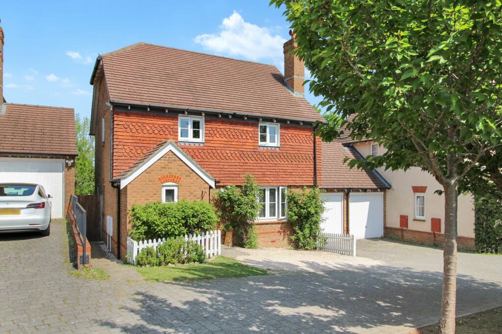
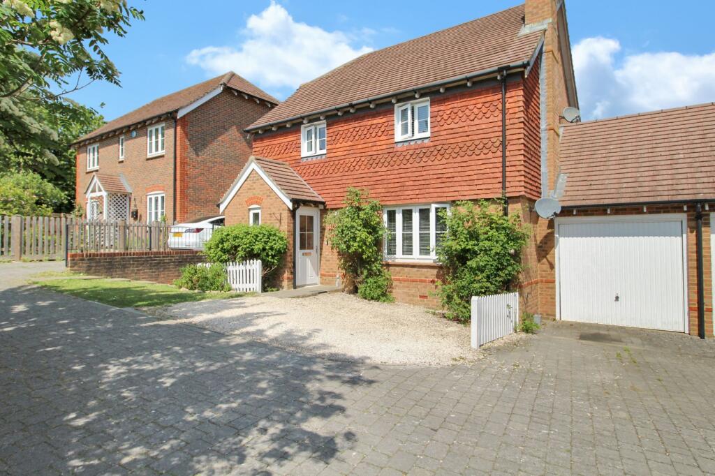
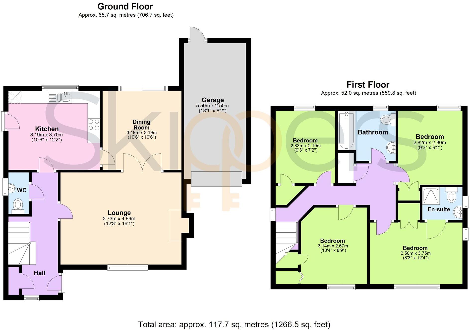
A four-bedroom detached family home, enjoying an enviable position along a private road with open outlook to the rear, within walking distance of amenities and catchment of Great Chart Primary School. No onward chain.
Property Oracle says ..
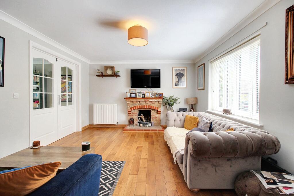
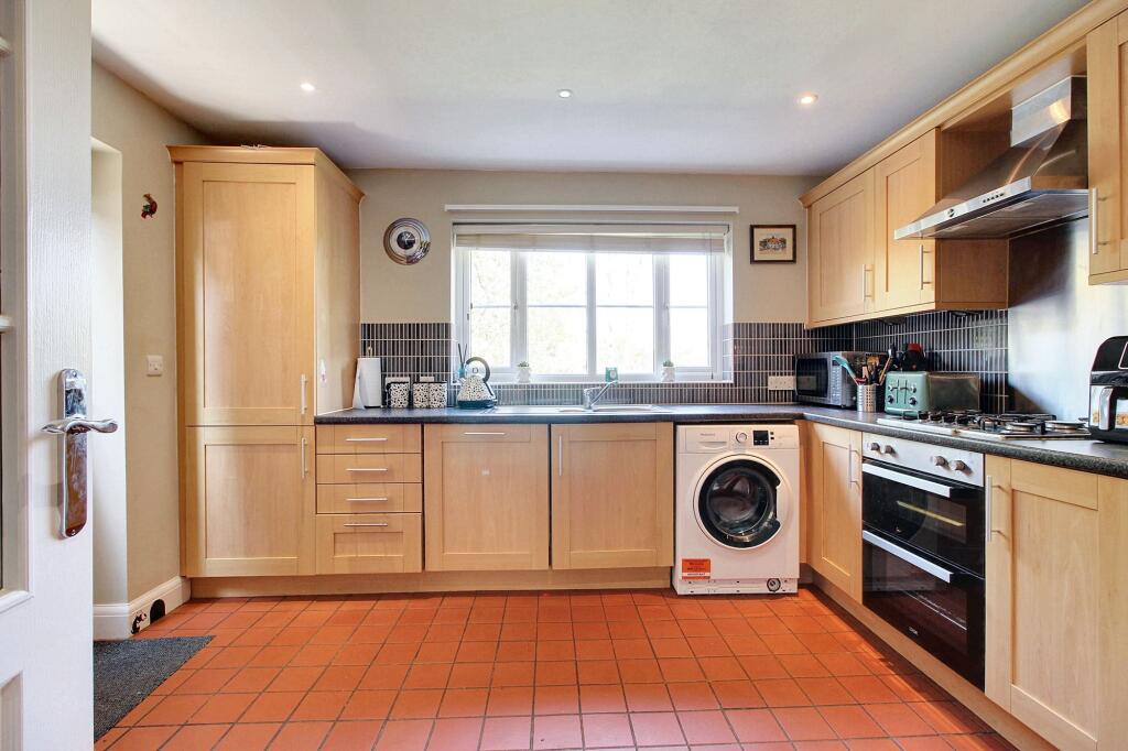
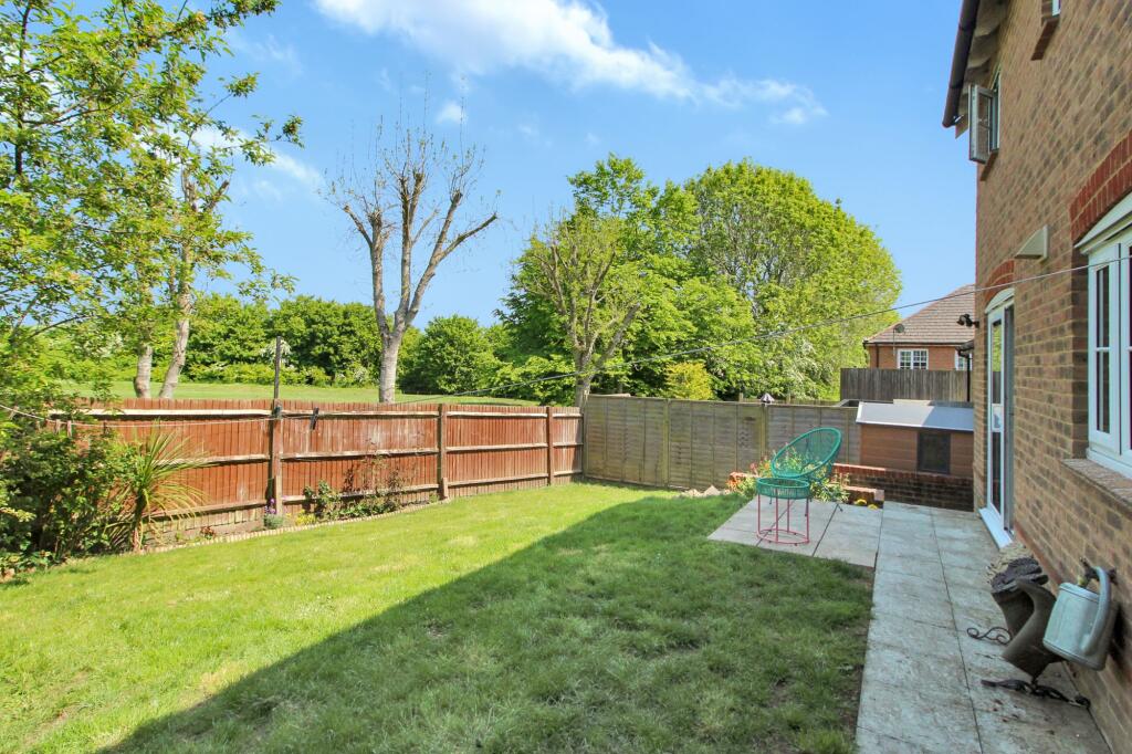
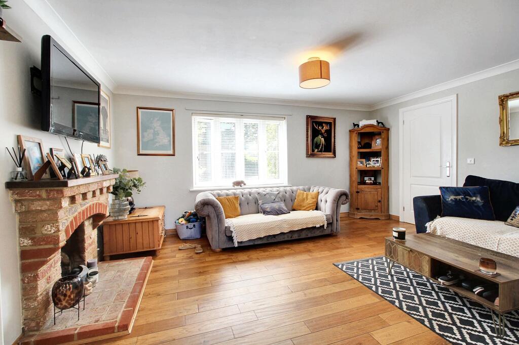
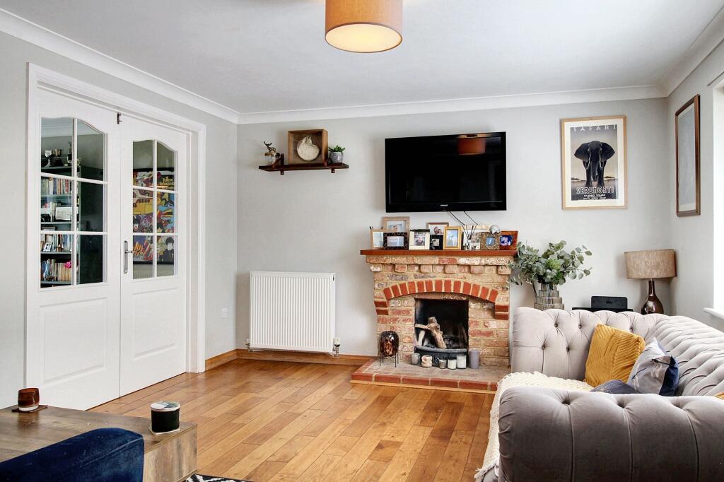
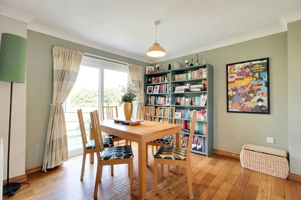
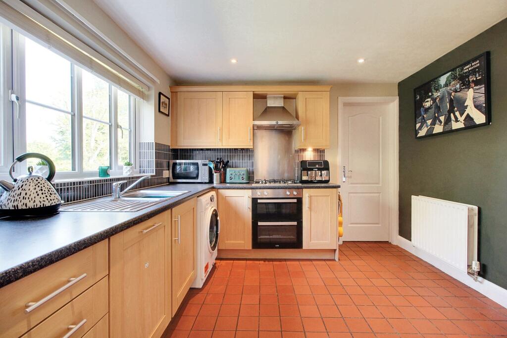
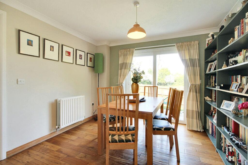
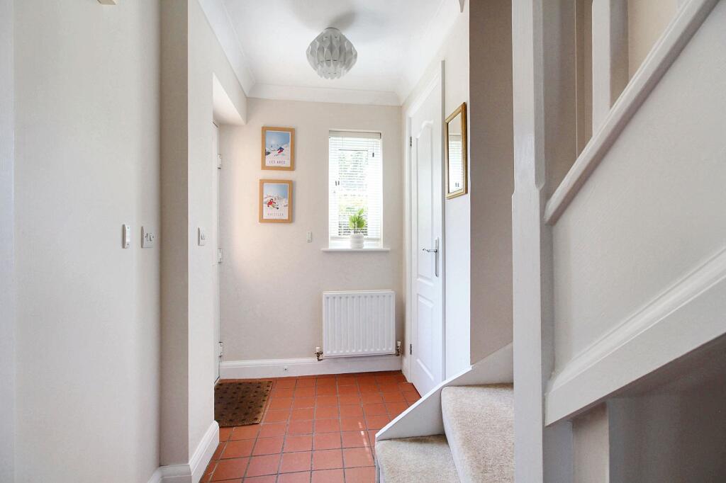
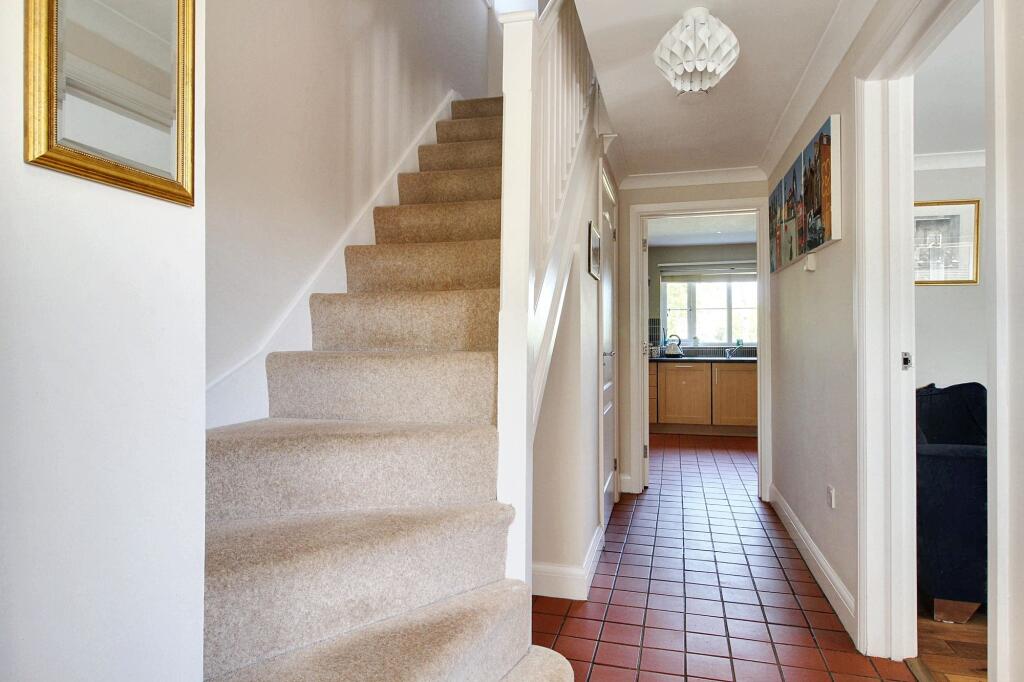
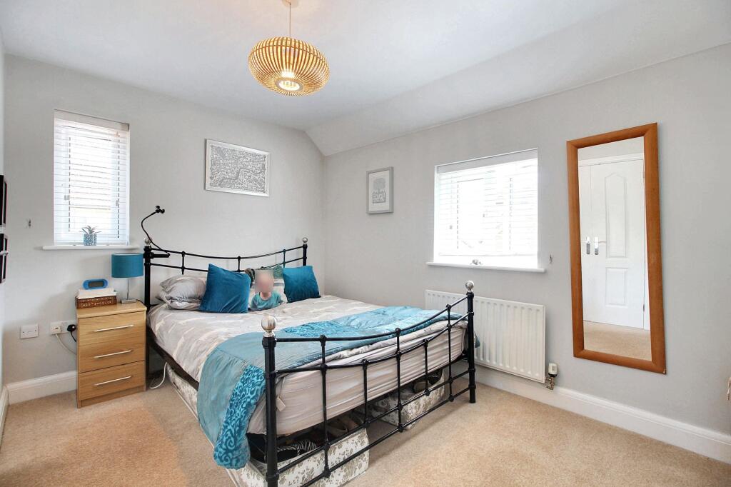
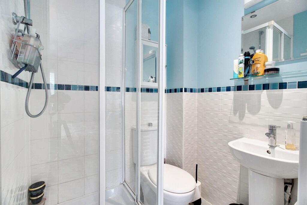
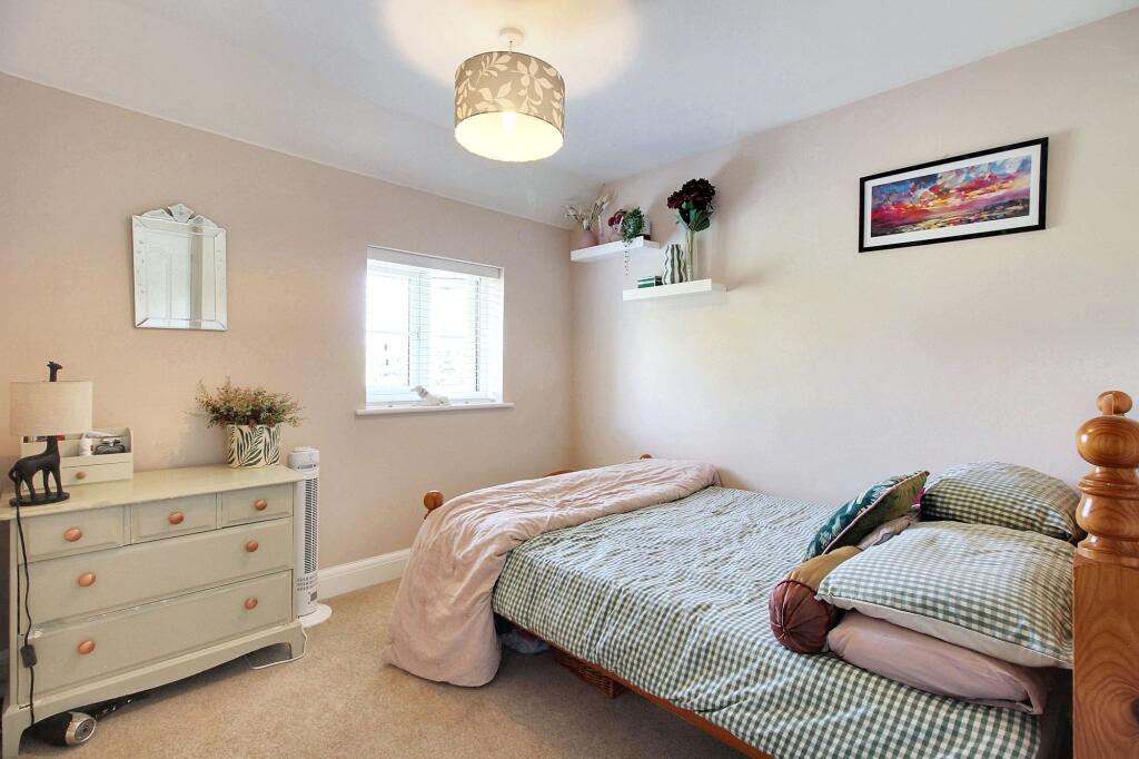
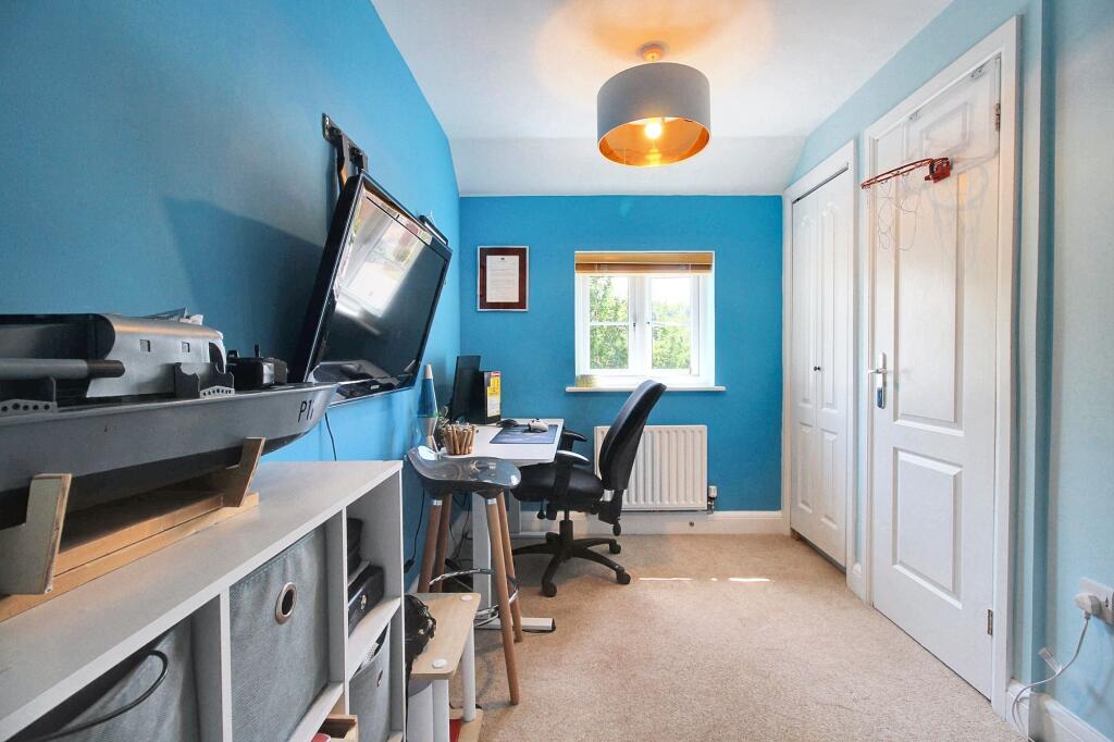
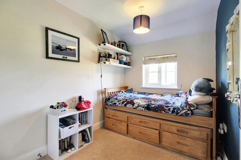
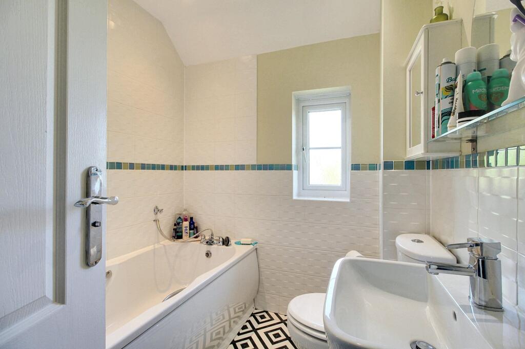
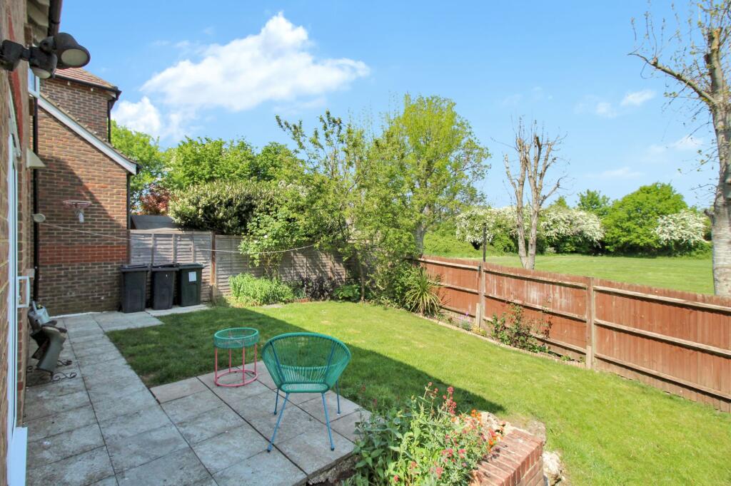
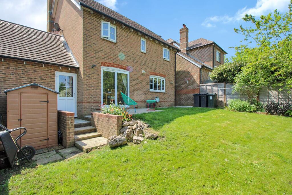
This property is a 4 bedroom, 2 bathroom detached house located in Ashford, Kent. The property is listed at £475,000 and has 1,046.25 sqft of living space and a plot size of 1,266.91 sqft. The location is good, with several highly-rated primary schools within a short distance (Great Chart Primary School being Outstanding). Ashford International train station is also relatively close, providing convenient access to London and other major cities. The area also benefits from a relatively low average price per sqft, compared to the property’s list price. Based on the images provided, the property appears to be in excellent condition. It is modern and well-maintained, with a contemporary kitchen and bathrooms. There is no evidence to suggest any need for repair or renovation. The property also benefits from a good-sized garden, adding to its overall appeal. Given the property’s excellent condition, desirable location, and inclusion of a garden, the list price of £475,000 appears to be slightly above the average price for the area (£278,019). However, the property’s size (1046.25 sqft) is larger than the average (880 sqft) in the area, and considering it’s modern condition and desirable features, the price may be justified. A more detailed market analysis considering comparable properties with similar features and condition would be needed to make a definitive statement on value.
Therefore, we give this property 7 / 10. *Disclaimer: This is our option and does constitute a recommendation or financial advice. Do your own research. *
- Price
- 7
- Condition
- 9
- Location
- 8
- Land
- 7
- Bedrooms
- 4
- Bathrooms
- 2
- Sqft (est)
- 1,046.25
- Lot (est)
- 1,266.91
The heatmap indicates the level of crime in the area. The color of the heatmap indicates the crime severity and recency.
Metrics Year-on-Year
- Average area value
- 257,097.00 £Decreased by 8.25 %
- Est sale value
- 345,262.50 £Increased by 14.98 %
- Average area rental value
- 956.00 £/moIncreased by 1.92 %
- Est letting value
- 1,046.25 £/mo
- Est rental Yield
- 4.46 %Increased by 10.95 %
- Crime Rate
- 7.00 %Unchanged by 0.00 %
Agent Activity
Andrews & Co created the listing.
Nearby Schools
| Name | Type | Ofsted | Distance |
|---|---|---|---|
| Great Chart Primary School | Community School | Outstanding | 0.32 KM |
| The John Wesley Church Of England Methodist Voluntary Aided Primary School | Voluntary Aided School | Good | 0.47 KM |
| The Wyvern School (Buxford) | Foundation Special School | Good | 1.15 KM |
| Beaver Green Primary School | Academy Sponsor Led | Good | 1.27 KM |
| Godinton Primary School | Academy Converter | Good | 1.87 KM |
Images
Nearby Streets
| Name | Average Price | Average Sqft | Distance |
|---|---|---|---|
| Great Chart Bypass | £ 0 | 0 | 0.00 KM |
| Hedgers Way | £ 420,995 | 0 | 0.00 KM |
| Summerhill | £ 0 | 0 | 0.00 KM |
| Coppice Drive | £ 0 | 0 | 0.00 KM |
| Honeyfield | £ 0 | 0 | 0.00 KM |
Nearby Transport
| Name | NLC | TLC | Distance |
|---|---|---|---|
| Ashford International | 5004 | AFK | 4.24 KM |
| Ham Street | 5037 | HMT | 7.91 KM |
| Charing (Kent) | 5097 | CHG | 9.47 KM |
Nearby Listings
| Address | Price | Type | Score | Distance |
|---|---|---|---|---|
| Green Fields Lane, Ashford, TN23 | £ 475,000 | BUY | 7 / 10 | 0.00 KM |
| Green Fields Lane, Ashford | £ 375,000 | BUY | Unknown | 0.04 KM |
| Normandy Way, Singleton | £ 285,000 | BUY | Unknown | 0.10 KM |
| Bradbridge Green, Ashford, TN23 | £ 350,000 | BUY | 7 / 10 | 0.11 KM |
| Normandy Way, Ashford, TN23 | £ 350,000 | BUY | 7 / 10 | 0.12 KM |
Nearby Properties
| Address | Price | Distance |
|---|---|---|
| 16 Normandy Way | £ 287,500 | 0.07 KM |
| 31 Normandy Way | £ 390,000 | 0.07 KM |
| 15 Normandy Way | £ 183,000 | 0.07 KM |
| 18 Normandy Way | £ 174,950 | 0.07 KM |
| 4 Normandy Way | £ 195,000 | 0.07 KM |