MA
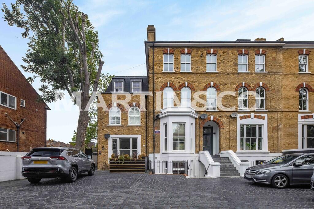
Grosvenor Road, Wanstead
By Martin & Co
£ 2,100
Martin & Co says ..
SPLIT LEVEL | 0.1 MILES TO HIGH STREET | 0.1 MILES TO STATION | MODERN | GAS CENTRAL HEATING | DOUBLE GLAZING
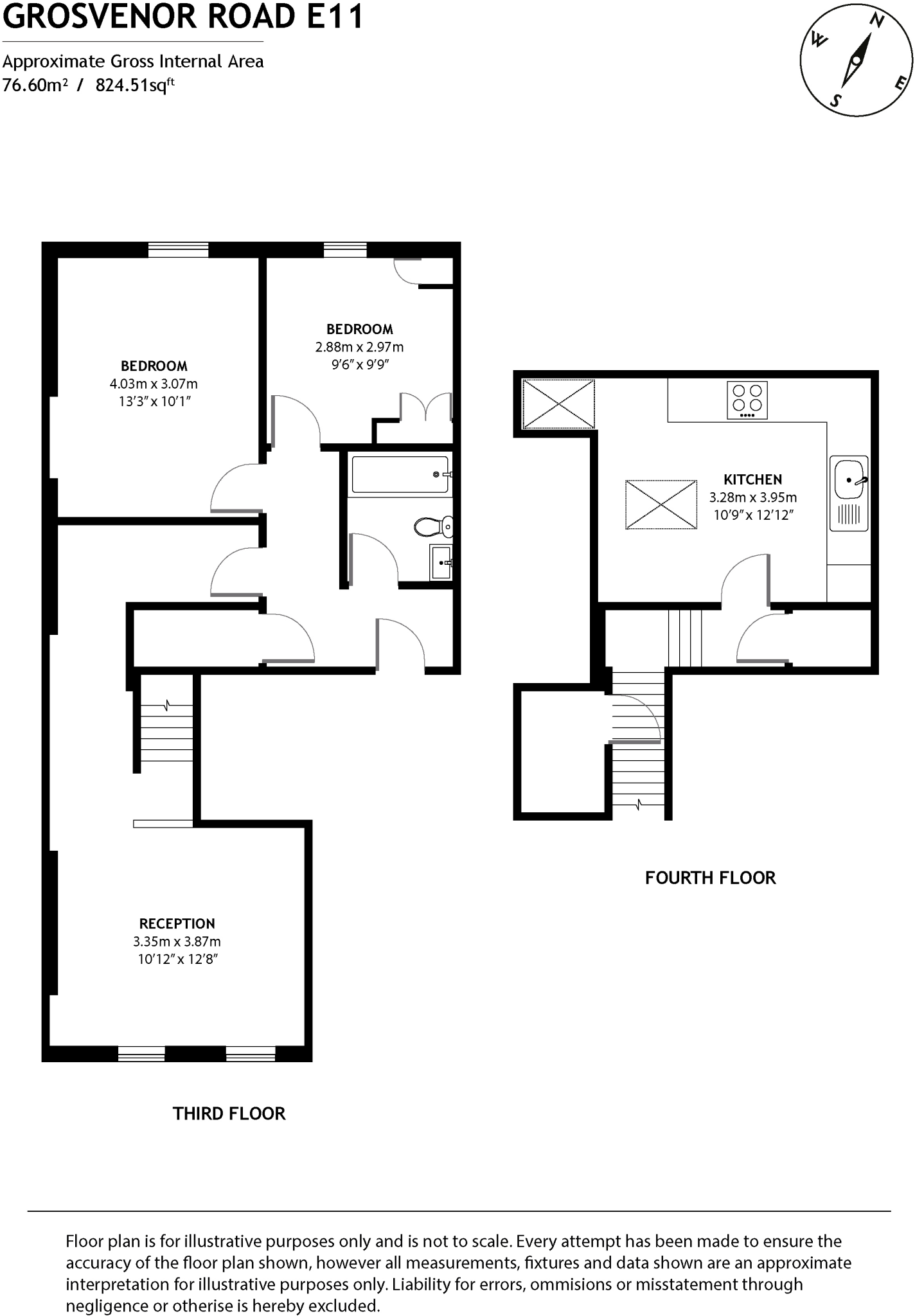
- Bedrooms
- 2
- Bathrooms
- 0
The heatmap indicates the level of crime in the area. The color of the heatmap indicates the crime severity and recency.
Metrics Year-on-Year
- Average area value
- 420,625.00 £Decreased by 41.98 %
- Average area rental value
- 1,859.00 £/moDecreased by 4.42 %
- Est rental Yield
- 5.30 %Increased by 64.60 %
- Crime Rate
- 8.00 %Unchanged by 0.00 %
from 724,949.00 £
from 1,945.00 £/mo
from 3.22 %
from 8.00 %
Agent Activity
Martin & Co created the listing.
Nearby Schools
| Name | Type | Ofsted | Distance |
|---|---|---|---|
| Wanstead Church School | Voluntary Aided School | Outstanding | 0.41 KM |
| Wanstead Children'S Centre | Children's Centre | 0.58 KM | |
| Snaresbrook Primary School | Community School | Good | 0.80 KM |
| Nightingale Primary School | Community School | Outstanding | 0.91 KM |
| Wanstead High School | Community School | Good | 1.00 KM |
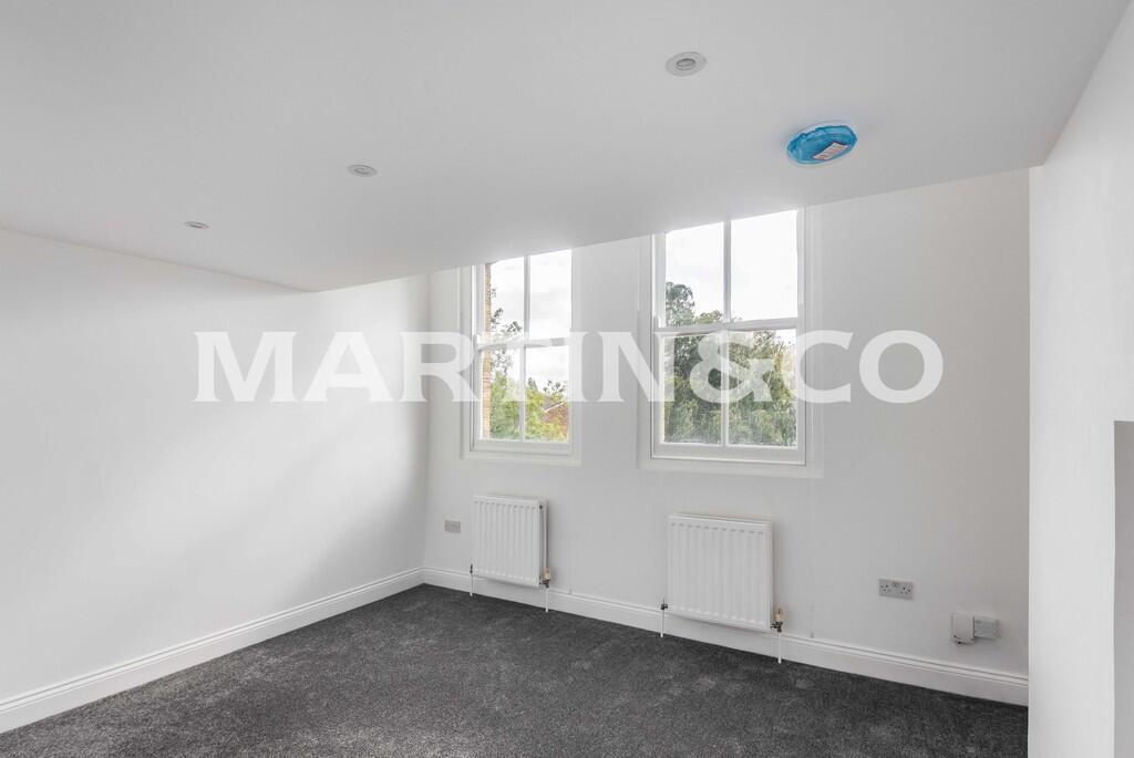
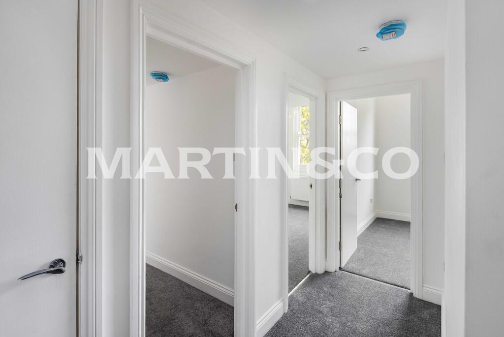
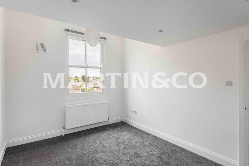
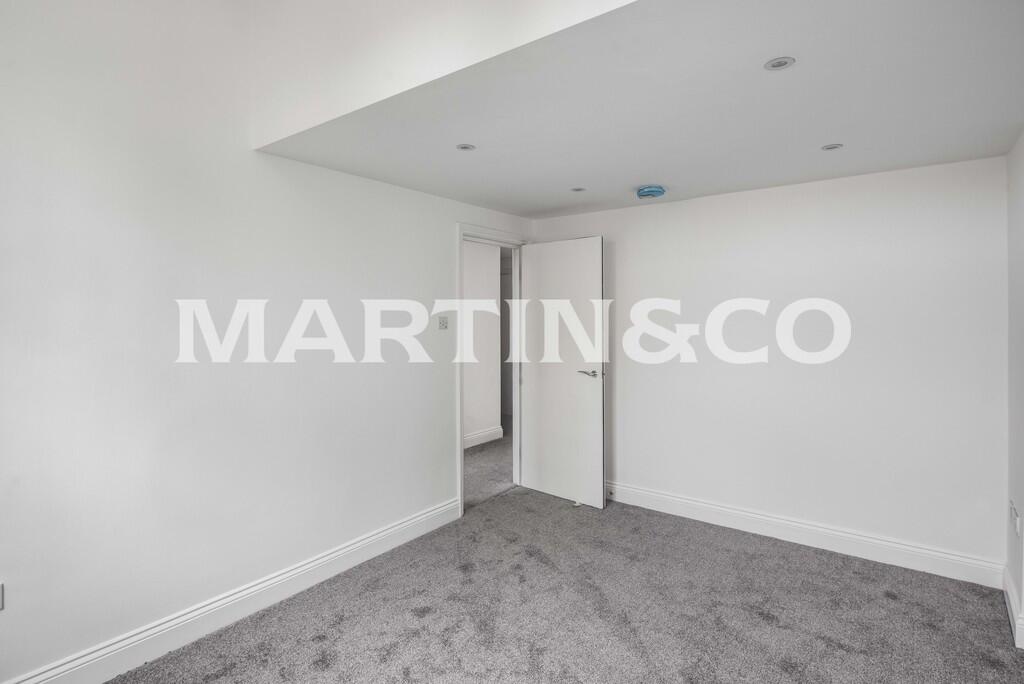
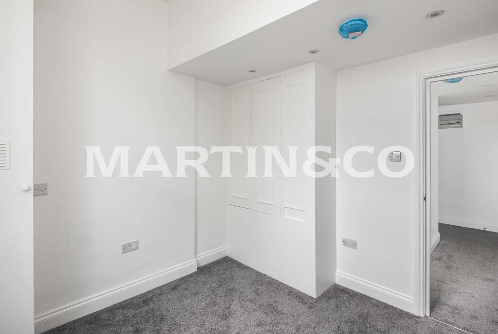
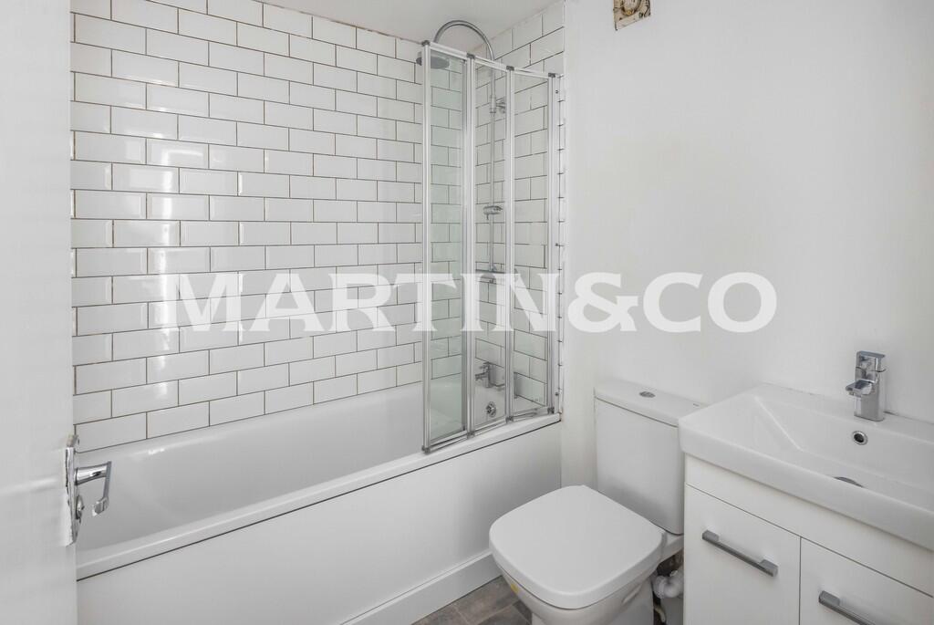
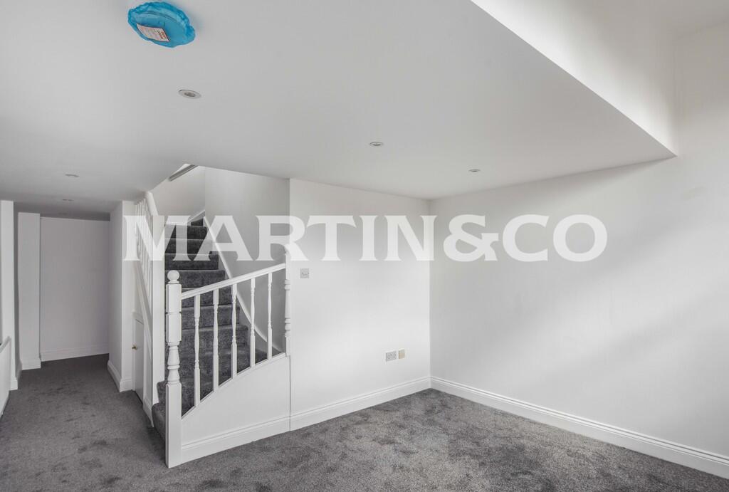
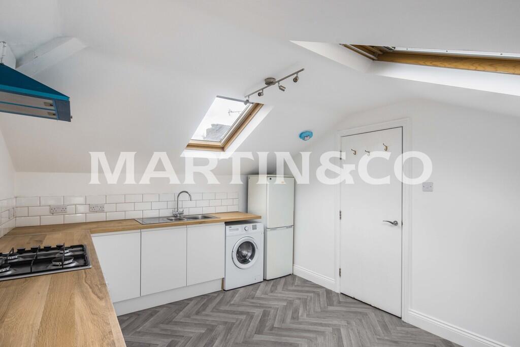
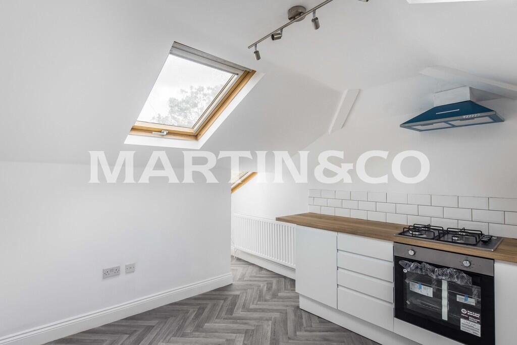
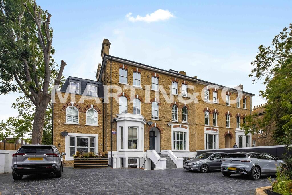
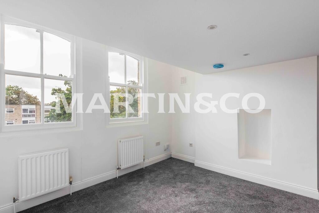
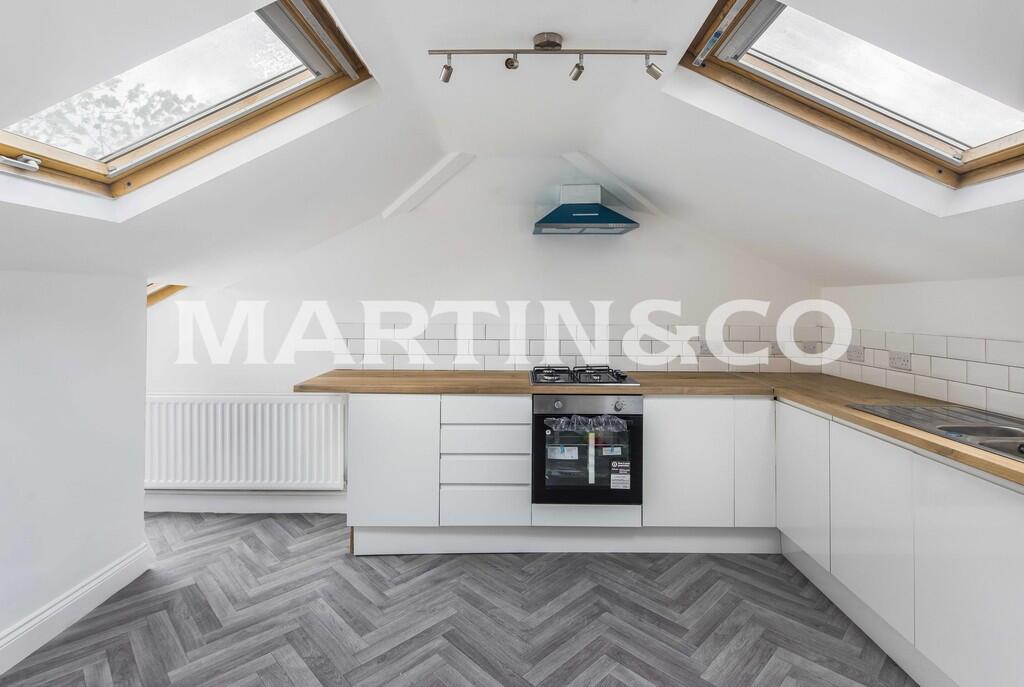
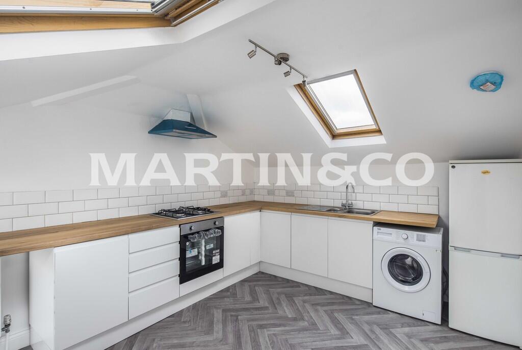
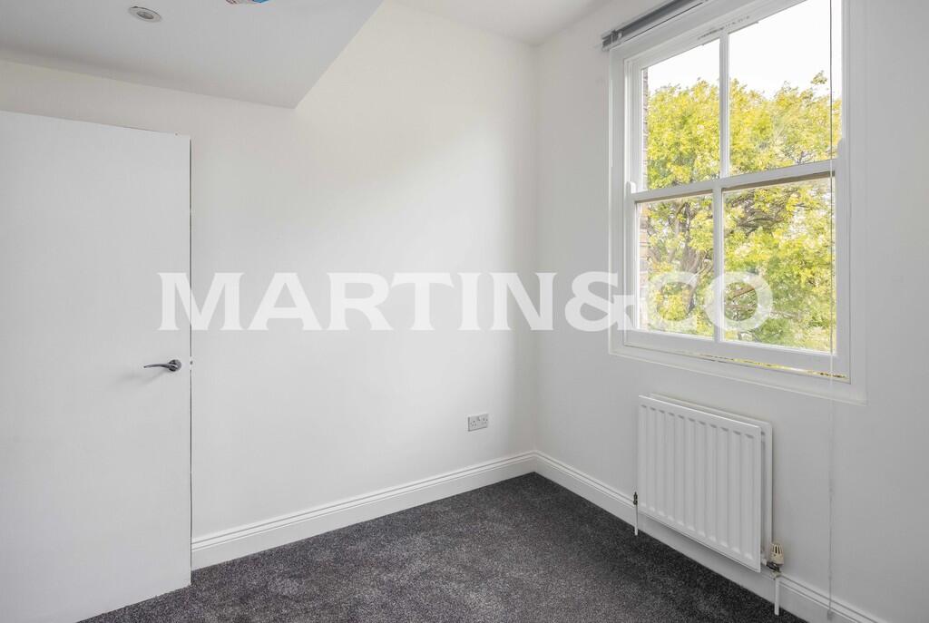
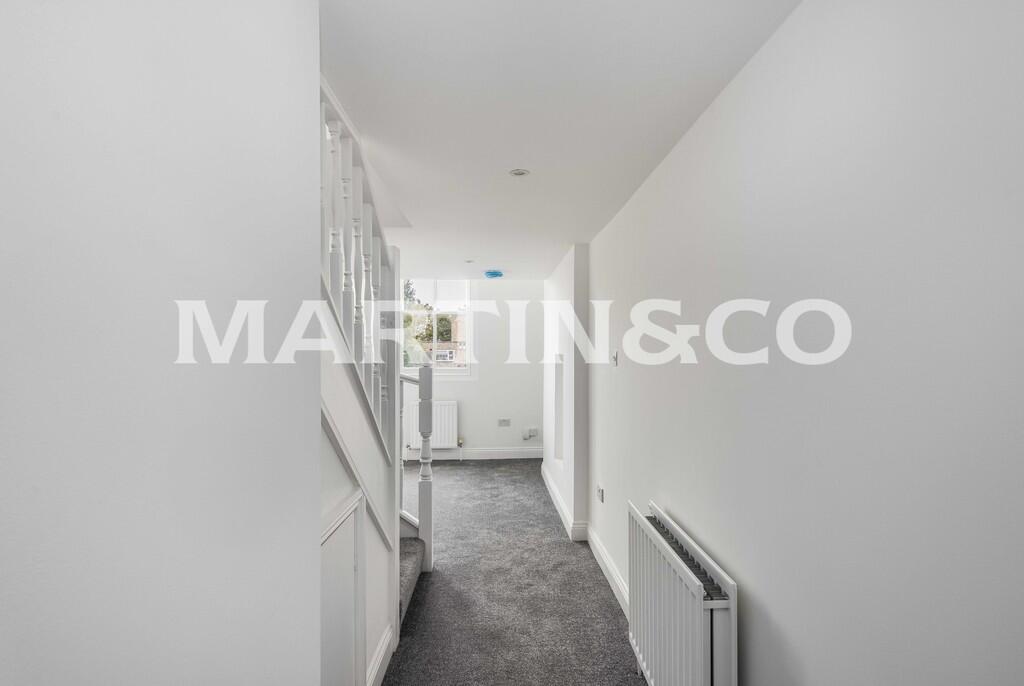
Images


Nearby Streets
| Name | Average Price | Average Sqft | Distance |
|---|---|---|---|
| Grove Park | £ 0 | 0 | 0.00 KM |
| Esmat Close | £ 0 | 0 | 0.00 KM |
| Sultan Road | £ 0 | 0 | 0.00 KM |
| Rutland Road | £ 1,412,500 | 0 | 0.00 KM |
| Nelson Road | £ 550,000 | 0 | 0.00 KM |
Nearby Transport
| Name | NLC | TLC | Distance |
|---|---|---|---|
| Leytonstone High Road | 7403 | LER | 2.84 KM |
| Wanstead Park | 7408 | WNP | 3.14 KM |
| Forest Gate | 6876 | FOG | 3.41 KM |
| Wood Street | 6954 | WST | 3.46 KM |
| Manor Park | 6883 | MNP | 3.65 KM |
Nearby Listings
| Address | Price | Type | Score | Distance |
|---|---|---|---|---|
| Grosvenor Road, Wanstead | £ 2,100 | RENT | Unknown | 0.00 KM |
| Grosvenor Road, Wanstead | £ 1,900 | RENT | Unknown | 0.00 KM |
| Grosvenor Road, Wanstead | £ 2,100 | RENT | Unknown | 0.00 KM |
| Grosvenor Road, Wanstead, E11 | £ 3,000 | RENT | Unknown | 0.01 KM |
| Grosvenor Road, E11 2EW | £ 3,500 | RENT | Unknown | 0.01 KM |
Nearby Properties
| Address | Price | Distance |
|---|---|---|
| 25b Grosvenor Road | £ 247,000 | 0.00 KM |
| 29d Grosvenor Road | £ 396,000 | 0.00 KM |
| 43 Grosvenor Road | £ 815,000 | 0.00 KM |
| 39 Grosvenor Road | £ 1,366,000 | 0.00 KM |
| 37 Grosvenor Road | £ 500,000 | 0.00 KM |