AT
Brighton Road, Alvaston
By Atkins Residential
£ 599
Atkins Residential says ..
No summary available.
- Bedrooms
- 1
- Bathrooms
- 1
The heatmap indicates the level of crime in the area. The color of the heatmap indicates the crime severity and recency.
Metrics Year-on-Year
- Average area value
- 358,333.00 £Increased by 6.25 %
- Average area rental value
- 1,283.00 £/moDecreased by 3.24 %
- Est rental Yield
- 4.30 %Decreased by 8.90 %
- Crime Rate
- 22.00 %Unchanged by 0.00 %
from 337,265.00 £
from 1,326.00 £/mo
from 4.72 %
from 22.00 %
Agent Activity
Atkins Residential created the listing.
Nearby Schools
| Name | Type | Ofsted | Distance |
|---|---|---|---|
| Wyndham Spencer Academy | Academy Sponsor Led | Outstanding | 0.59 KM |
| Oakwood Infant And Nursery School | Community School | Good | 1.01 KM |
| Oakwood Junior School | Academy Converter | 1.04 KM | |
| Boulton Children'S Centre | Children's Centre | 1.09 KM | |
| St John Fisher Catholic Voluntary Academy | Academy Sponsor Led | Good | 1.28 KM |
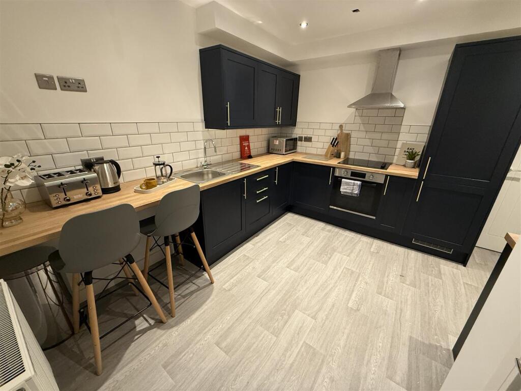
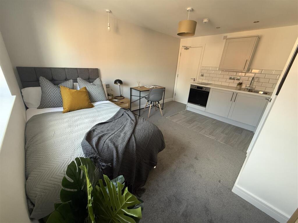
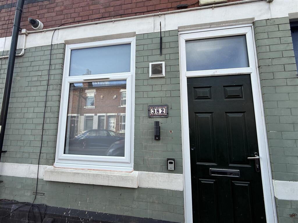
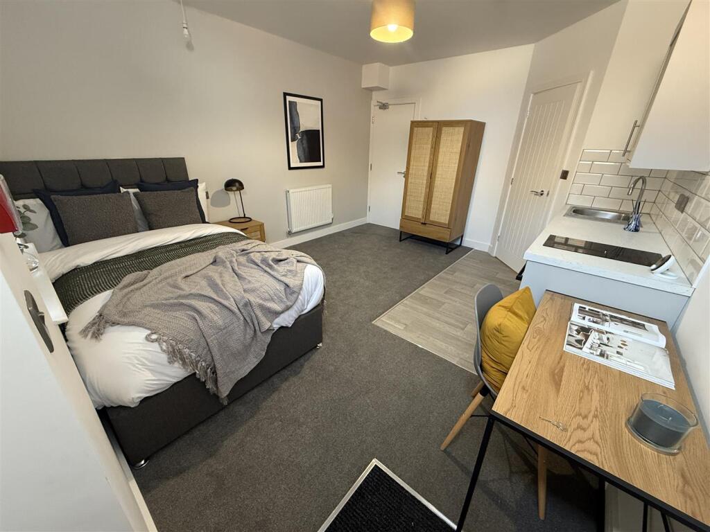
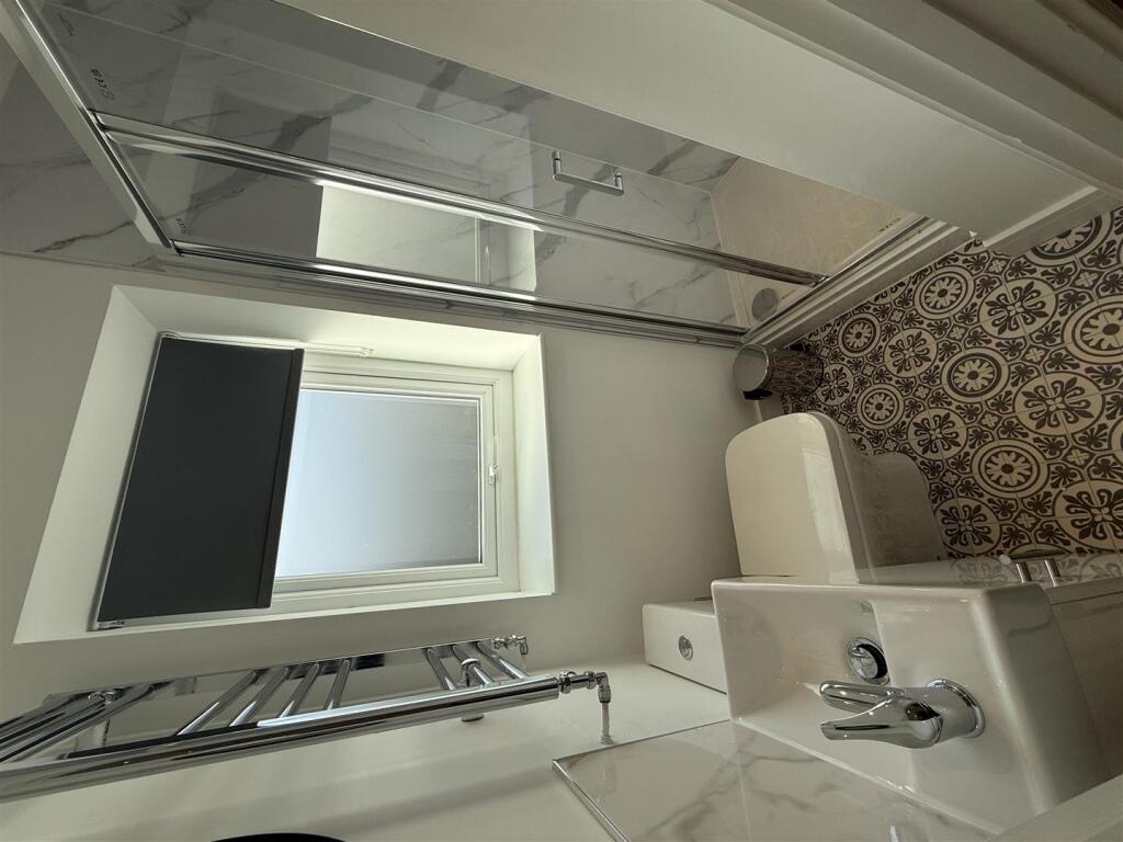
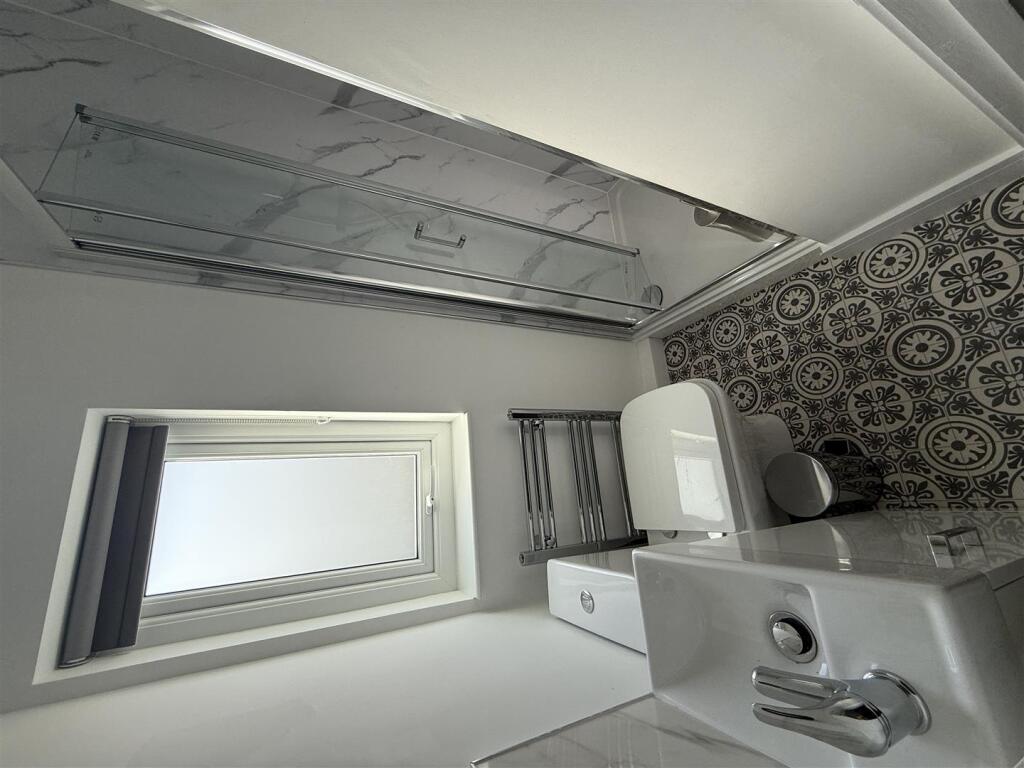
Images
Nearby Streets
| Name | Average Price | Average Sqft | Distance |
|---|---|---|---|
| Lichfield Drive | £ 140,000 | 0 | 0.00 KM |
| Quintin Road | £ 0 | 0 | 0.00 KM |
| Wyndham Street | £ 0 | 0 | 0.00 KM |
| Patterdale Road | £ 0 | 0 | 0.00 KM |
| Meadow Lane | £ 130,000 | 0 | 0.00 KM |
Nearby Transport
| Name | NLC | TLC | Distance |
|---|---|---|---|
| Spondon | 1699 | SPO | 2.95 KM |
| Derby | 1823 | DBY | 3.87 KM |
| Peartree | 1687 | PEA | 4.37 KM |
Nearby Listings
| Address | Price | Type | Score | Distance |
|---|---|---|---|---|
| Brighton Road, Alvaston | £ 599 | RENT | Unknown | 0.00 KM |
| London Road, Derby, Derbyshire, DE24 | £ 700 | RENT | Unknown | 0.06 KM |
| The Roundhouse, 1196 London Road, Derby, DE24 | £ 595 | RENT | Unknown | 0.07 KM |
| The Roundhouse, London Road, Alvaston, Derby, DE24 | £ 595 | RENT | Unknown | 0.07 KM |
| Hall Street, Alvaston, DERBY | £ 900 | RENT | Unknown | 0.07 KM |
Nearby Properties
| Address | Price | Distance |
|---|---|---|
| 1178 London Road | £ 150,000 | 0.07 KM |
| 48 Hall Street | £ 75,000 | 0.07 KM |
| 44 Hall Street | £ 29,000 | 0.07 KM |
| 12 Hall Street | £ 129,350 | 0.07 KM |
| 34 Hall Street | £ 104,000 | 0.07 KM |