FO
Langley
By Focus
£ 1,500
Focus says ..
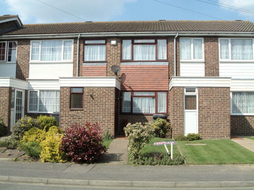
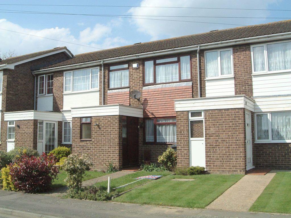
A well presented 3 bedroom house situated with easy access to Heathrow and M4<br /><br />
- Bedrooms
- 3
- Bathrooms
- 1
The heatmap indicates the level of crime in the area. The color of the heatmap indicates the crime severity and recency.
Metrics Year-on-Year
- Average area value
- 266,250.00 £Decreased by 18.69 %
- Average area rental value
- 1,013.00 £/moIncreased by 3.58 %
- Est rental Yield
- 4.57 %Increased by 27.65 %
- Crime Rate
- 7.00 %Unchanged by 0.00 %
from 327,468.00 £
from 978.00 £/mo
from 3.58 %
from 7.00 %
Agent Activity
Focus created the listing.
Nearby Schools
| Name | Type | Ofsted | Distance |
|---|---|---|---|
| The Langley Heritage Primary | Academy Sponsor Led | Good | 0.69 KM |
| Foxborough Primary School | Academy Sponsor Led | Good | 1.51 KM |
| Langley Hall Primary Academy | Free Schools | Good | 1.79 KM |
| Windsor Forest Colleges Group | Further Education | Good | 1.91 KM |
| Marish Primary School | Academy Converter | Good | 1.92 KM |
Images
Nearby Streets
| Name | Average Price | Average Sqft | Distance |
|---|---|---|---|
| Sutton Lane | £ 0 | 0 | 0.00 KM |
| Grasholm Way | £ 675,000 | 0 | 0.00 KM |
| Ash Close | £ 510,000 | 0 | 0.00 KM |
| Oak Tree Drive | £ 0 | 0 | 0.00 KM |
| Sutton Place | £ 0 | 0 | 0.00 KM |
Nearby Transport
| Name | NLC | TLC | Distance |
|---|---|---|---|
| Langley | 3171 | LNY | 1.66 KM |
| Iver | 3170 | IVR | 2.56 KM |
| Sunnymeads | 5675 | SNY | 4.82 KM |
| Wraysbury | 5673 | WRY | 5.03 KM |
| Heathrow Terminal 5 | 9846 | HWV | 5.43 KM |
Nearby Listings
| Address | Price | Type | Score | Distance |
|---|---|---|---|---|
| LANGLEY | £ 1,900 | RENT | Unknown | 0.19 KM |
| Deverills Way, Langley | £ 2,000 | RENT | Unknown | 0.27 KM |
| Deverills Way | £ 2,400 | RENT | Unknown | 0.29 KM |
| Deverills Way, Langley, SL3 | £ 2,200 | RENT | Unknown | 0.30 KM |
| Market Lane, Langley, SL3 | £ 2,450 | RENT | Unknown | 0.34 KM |
Nearby Properties
| Address | Price | Distance |
|---|---|---|
| 65 Sutton Lane | £ 208,000 | 0.06 KM |
| 109 Sutton Lane | £ 74,750 | 0.06 KM |
| 59 Sutton Lane | £ 272,500 | 0.06 KM |
| 117 Sutton Lane | £ 225,000 | 0.06 KM |
| 119 Sutton Lane | £ 233,000 | 0.06 KM |