JA
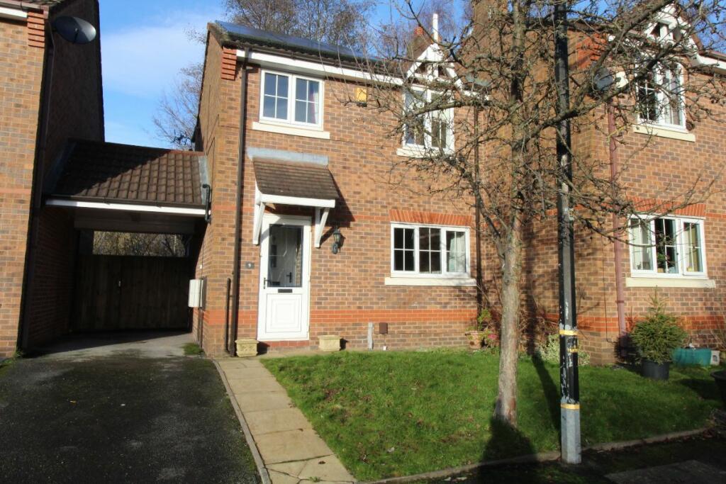
Lampton Close, Altrincham
By JACKSON'S ESTATES
£ 1,300
JACKSON'S ESTATES says ..
.
- Bedrooms
- 2
- Bathrooms
- 1
The heatmap indicates the level of crime in the area. The color of the heatmap indicates the crime severity and recency.
Metrics Year-on-Year
- Average area value
- 540,667.00 £Increased by 49.72 %
- Average area rental value
- 1,379.00 £/moDecreased by 0.29 %
- Est rental Yield
- 3.06 %Decreased by 33.48 %
- Crime Rate
- 0.00 %
from 361,116.00 £
from 1,383.00 £/mo
from 4.60 %
from 0.00 %
Agent Activity
JACKSON'S ESTATES created the listing.
Nearby Schools
| Name | Type | Ofsted | Distance |
|---|---|---|---|
| Navigation Primary School | Community School | Good | 0.32 KM |
| Trafford Alternative Education Provision | Pupil Referral Unit | Good | 0.60 KM |
| Altrincham Cofe (Aided) Primary School | Voluntary Aided School | Requires improvement | 1.09 KM |
| Park Road Academy Primary School | Academy Converter | 1.25 KM | |
| St Vincent'S Catholic Primary School | Voluntary Aided School | Outstanding | 1.26 KM |
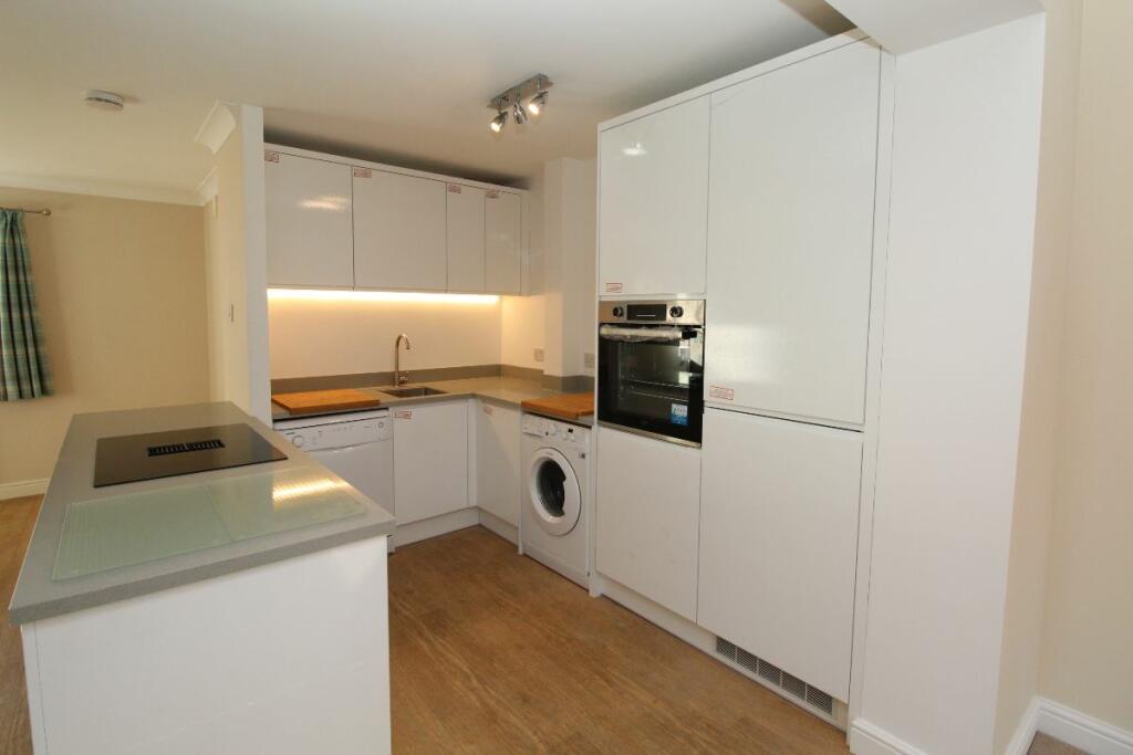
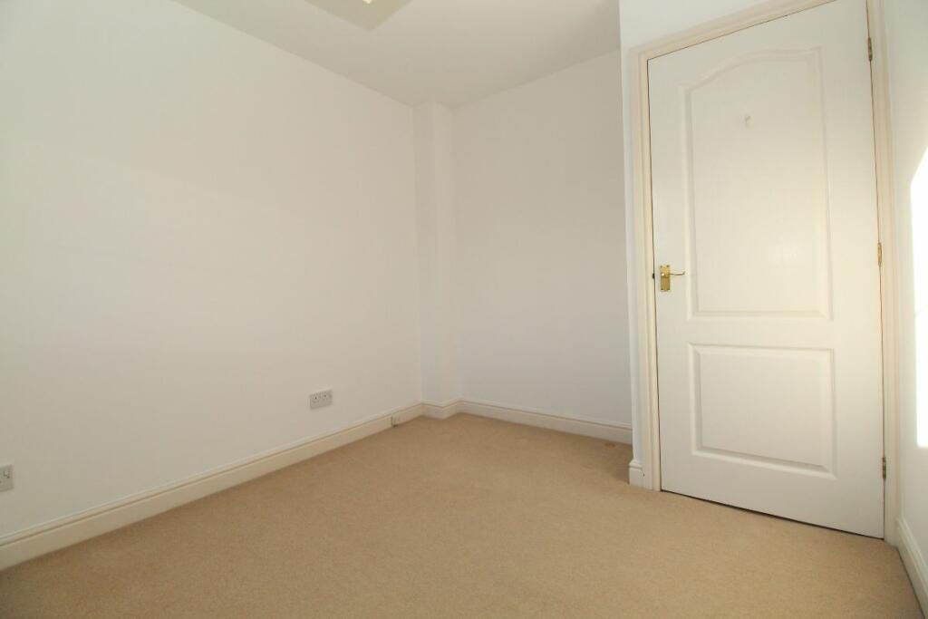
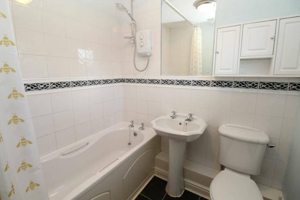
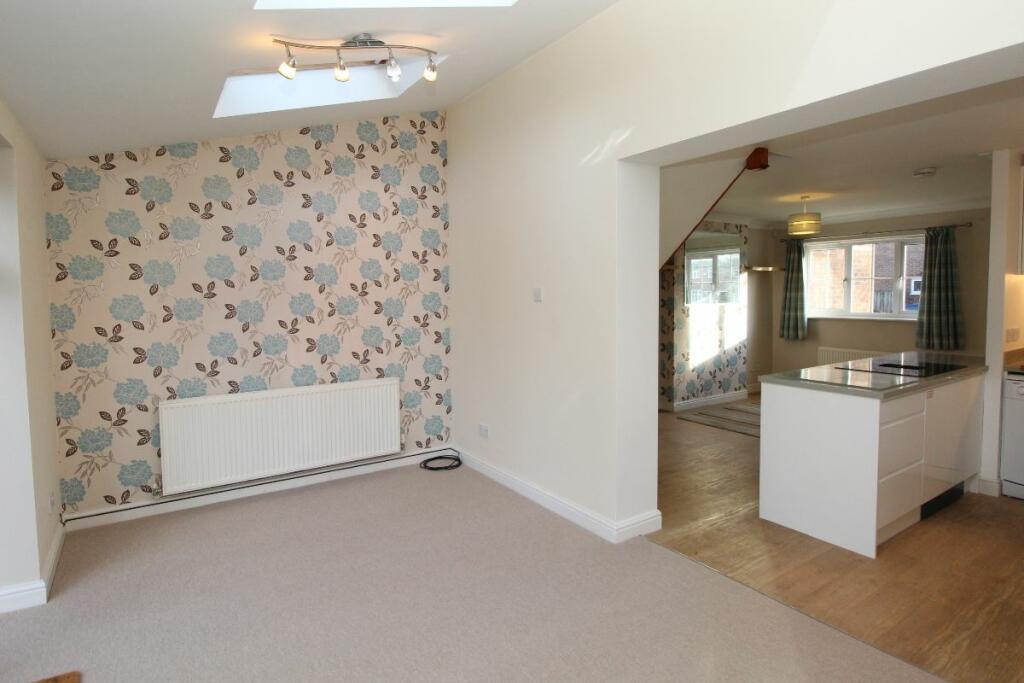
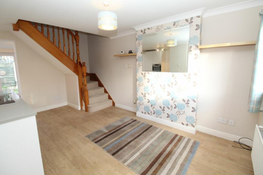
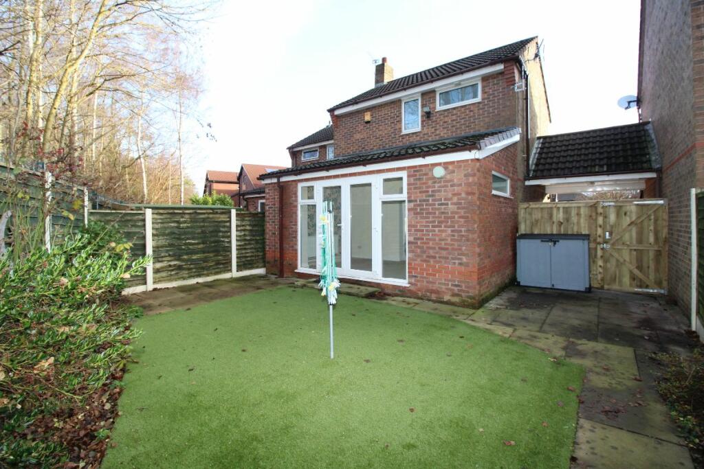
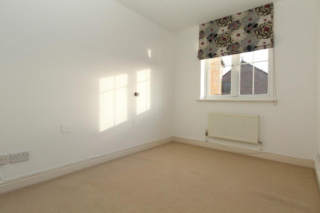
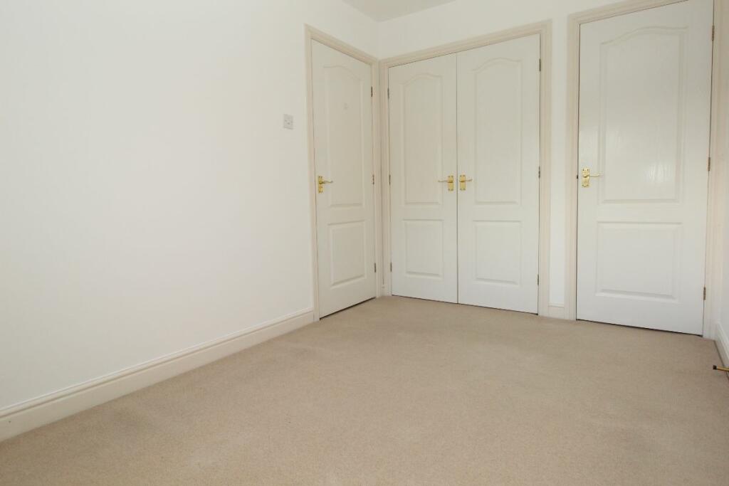
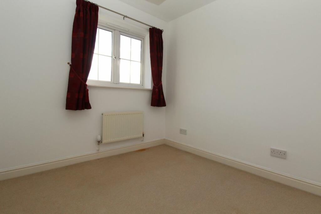
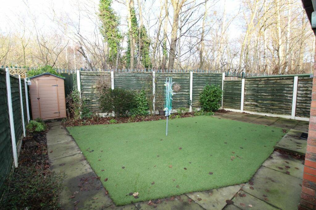
Images


Nearby Streets
| Name | Average Price | Average Sqft | Distance |
|---|---|---|---|
| Balfour Road | £ 0 | 0 | 0.00 KM |
| Occupation Road | £ 525,000 | 0 | 0.00 KM |
| Lawn Drive | £ 0 | 0 | 0.00 KM |
| Airedale Court | £ 0 | 0 | 0.00 KM |
| Jubilee Way | £ 0 | 0 | 0.00 KM |
Nearby Transport
| Name | NLC | TLC | Distance |
|---|---|---|---|
| Navigation Road | 2940 | NVR | 0.73 KM |
| Altrincham | 2806 | ALT | 1.29 KM |
| Hale (Manchester) | 2845 | HAL | 2.27 KM |
| Ashley | 2850 | ASY | 4.89 KM |
| Urmston | 2938 | URM | 5.50 KM |
Nearby Listings
| Address | Price | Type | Score | Distance |
|---|---|---|---|---|
| Bridgewater Road | £ 1,260 | RENT | Unknown | 0.18 KM |
| The Wharf, Wharf Road, Altrincham | £ 1,800 | RENT | Unknown | 0.26 KM |
| Beaconsfield Road, Altrincham, WA14 | £ 1,600 | RENT | Unknown | 0.28 KM |
| Salisbury Road, Altrincham | £ 1,300 | RENT | Unknown | 0.29 KM |
| Hartington Road, Altrincham | £ 1,850 | RENT | Unknown | 0.38 KM |
Nearby Properties
| Address | Price | Distance |
|---|---|---|
| 4 Granford Close | £ 149,500 | 0.04 KM |
| 6 Granford Close | £ 163,000 | 0.04 KM |
| 7 Granford Close | £ 178,000 | 0.04 KM |
| 3 Granford Close | £ 88,000 | 0.04 KM |
| 8 Granford Close | £ 175,000 | 0.04 KM |