HO
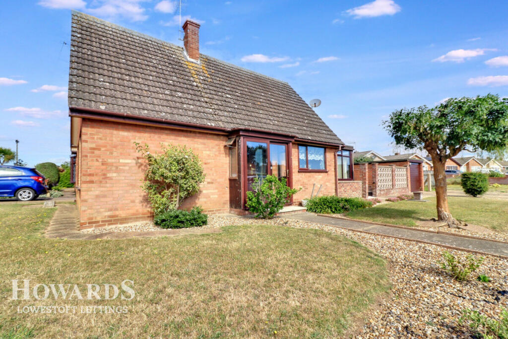
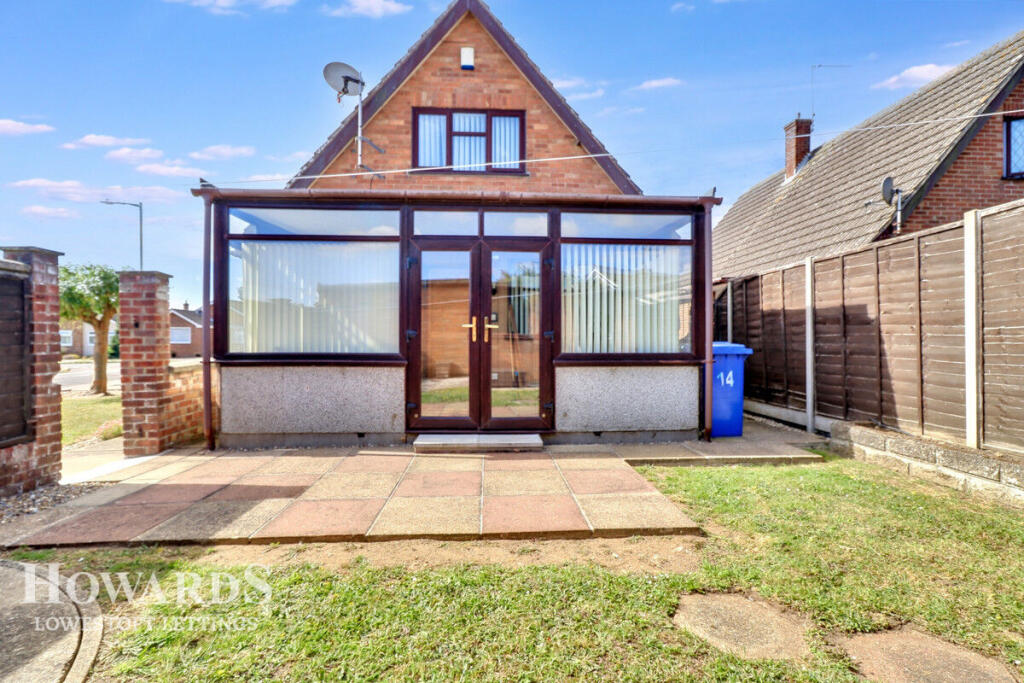
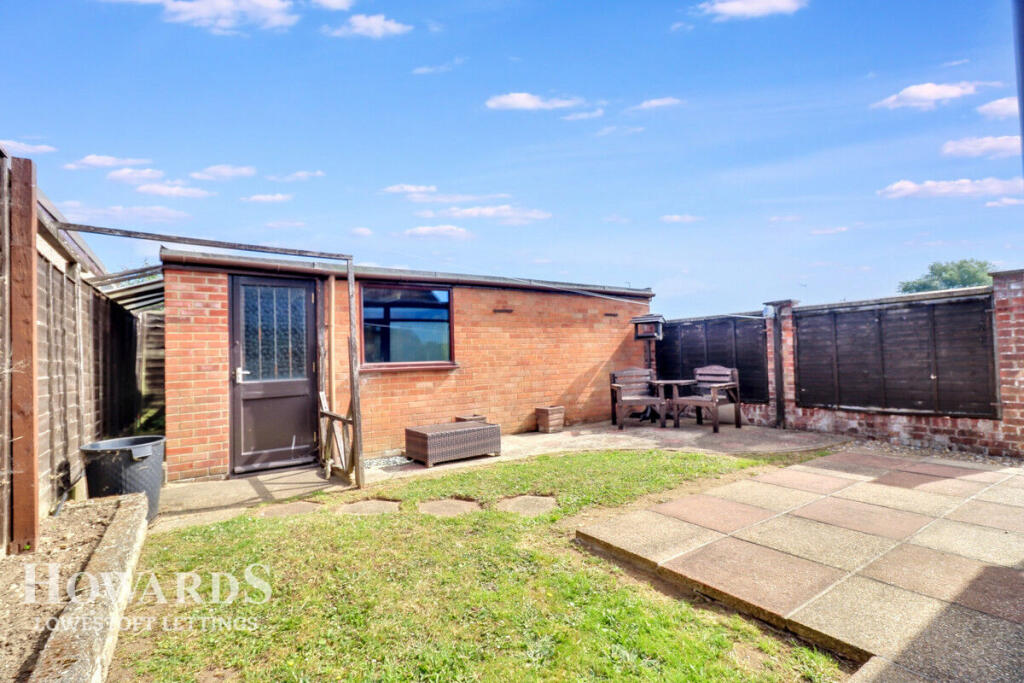
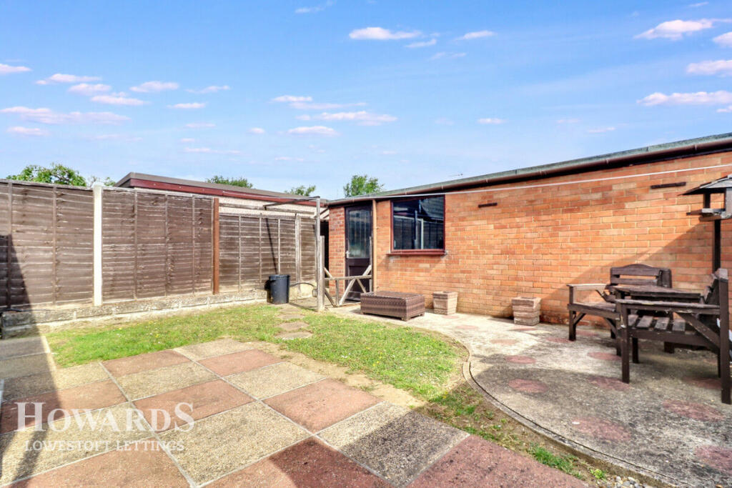
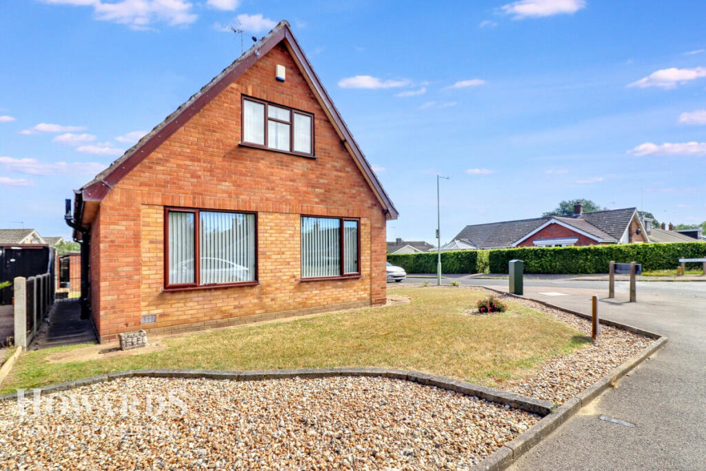
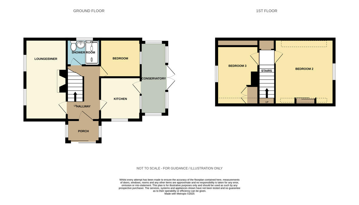
The Fairway, LOWESTOFT
By Howards Lettings
£ 1,100
Howards Lettings says ..
A bit of Up, Down and all Around - Versatile Living
- Bedrooms
- 3
- Bathrooms
- 1
The heatmap indicates the level of crime in the area. The color of the heatmap indicates the crime severity and recency.
Metrics Year-on-Year
- Average area value
- 288,333.00 £Increased by 10.80 %
- Average area rental value
- 963.00 £/moIncreased by 6.06 %
- Est rental Yield
- 4.01 %Decreased by 4.30 %
- Crime Rate
- 1.00 %Unchanged by 0.00 %
from 260,238.00 £
from 908.00 £/mo
from 4.19 %
from 1.00 %
Agent Activity
Howards Lettings created the listing.
Nearby Schools
| Name | Type | Ofsted | Distance |
|---|---|---|---|
| Westwood Primary School | Academy Sponsor Led | Good | 0.47 KM |
| Elm Tree Primary School | Academy Sponsor Led | Requires improvement | 0.80 KM |
| Dell Primary School | Academy Sponsor Led | Requires improvement | 1.26 KM |
| Pakefield High School | Academy Converter | 1.41 KM | |
| Pakefield Primary School | Academy Converter | Good | 1.52 KM |
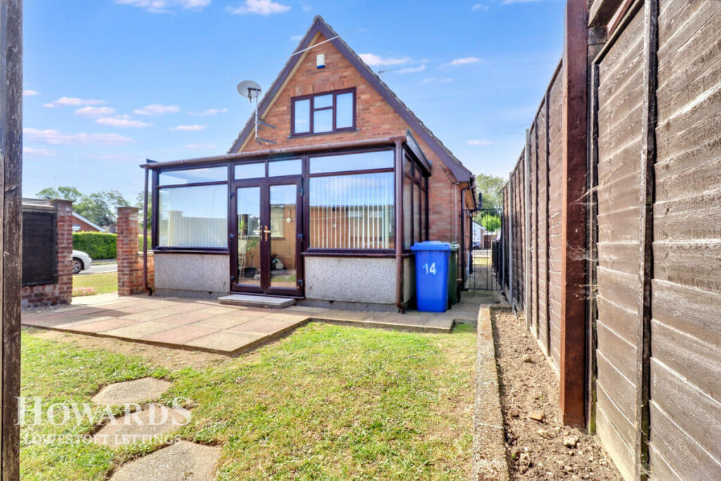
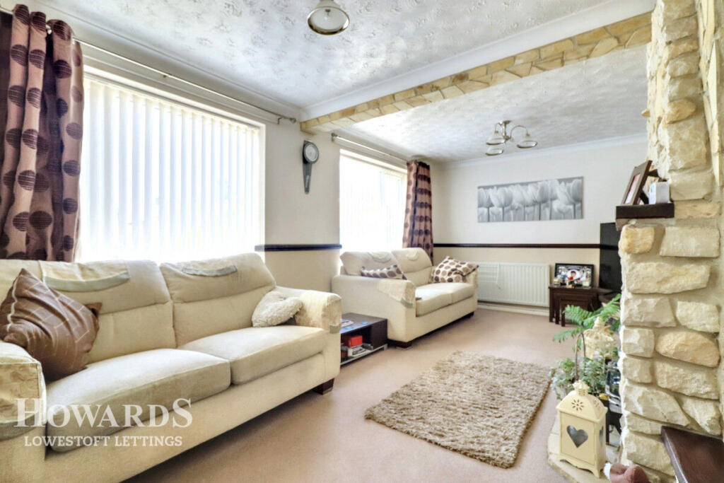
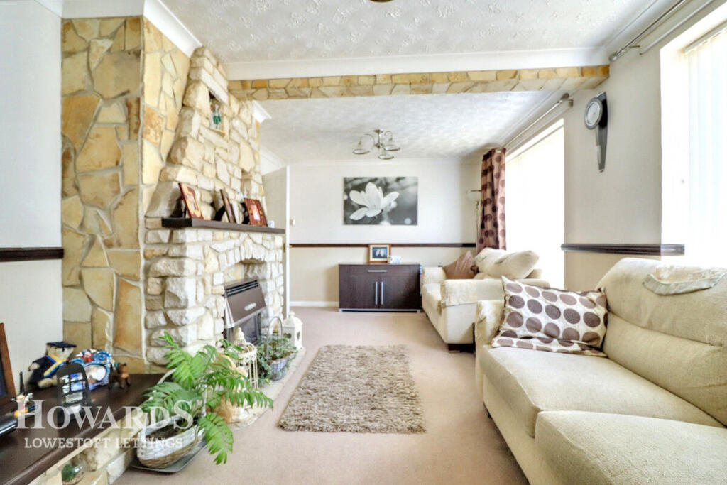
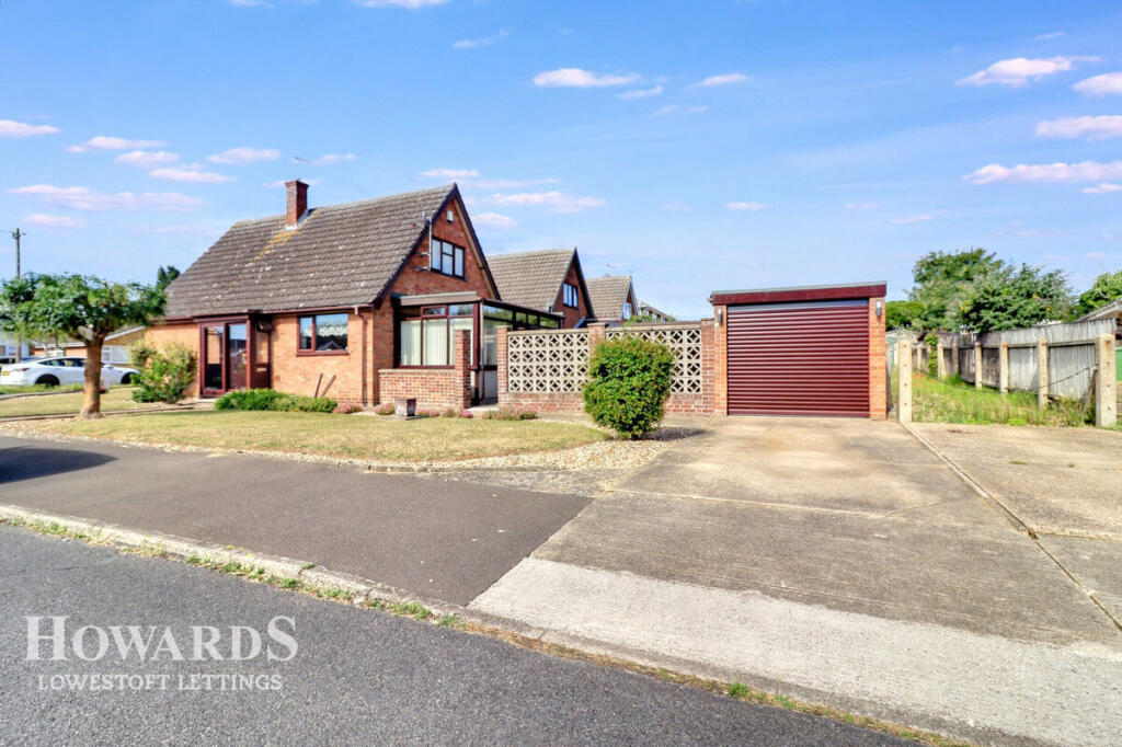
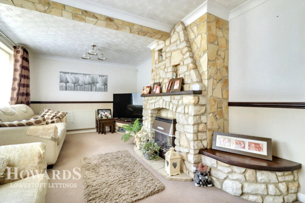
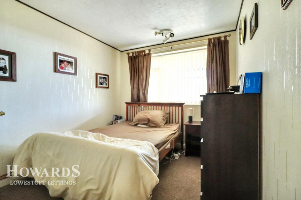
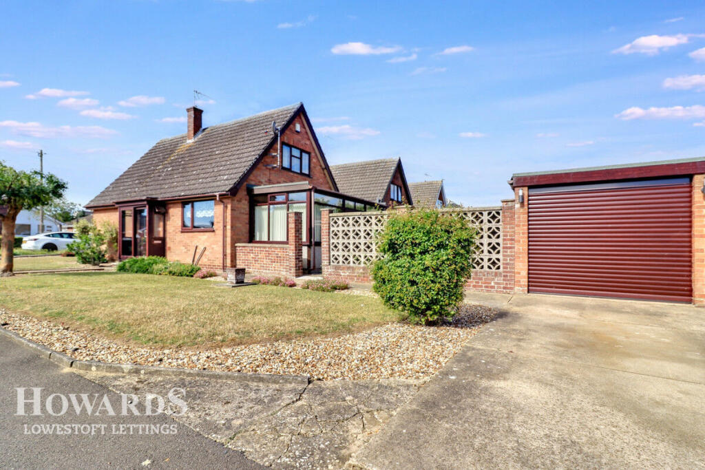
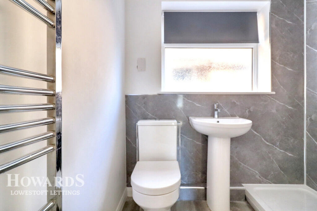
Images


Nearby Streets
| Name | Average Price | Average Sqft | Distance |
|---|---|---|---|
| A12 | £ 0 | 0 | 0.00 KM |
| Longbrook Close | £ 0 | 0 | 0.00 KM |
| Wensleydale | £ 0 | 0 | 0.00 KM |
| Long Road | £ 225,000 | 0 | 0.00 KM |
| Harrier Drive | £ 500,000 | 0 | 0.00 KM |
Nearby Transport
| Name | NLC | TLC | Distance |
|---|---|---|---|
| Oulton Broad South | 7274 | OUS | 1.58 KM |
| Oulton Broad North | 7273 | OUN | 2.09 KM |
| Lowestoft | 7268 | LWT | 3.99 KM |
| Somerleyton | 7320 | SYT | 9.16 KM |
Nearby Listings
| Address | Price | Type | Score | Distance |
|---|---|---|---|---|
| The Fairway, LOWESTOFT | £ 1,100 | RENT | Unknown | 0.00 KM |
| Wentworth Way, Lowestoft, NR33 | £ 695 | RENT | Unknown | 0.27 KM |
| Westwood Avenue, Lowestoft | £ 1,200 | RENT | Unknown | 0.58 KM |
| Fortress Road, Carlton Colville, Lowestoft, Suffolk, NR33 | £ 900 | RENT | Unknown | 0.82 KM |
| Highland Way, Oulton Broad | £ 875 | RENT | Unknown | 0.86 KM |
Nearby Properties
| Address | Price | Distance |
|---|---|---|
| 33 The Fairway | £ 157,500 | 0.08 KM |
| 23 The Fairway | £ 146,000 | 0.08 KM |
| 27 The Fairway | £ 135,000 | 0.08 KM |
| 5 The Fairway | £ 168,000 | 0.08 KM |
| 7 The Fairway | £ 137,500 | 0.08 KM |