NO
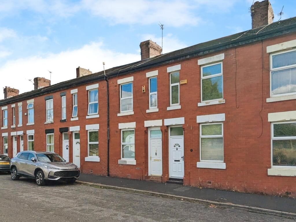
Brookhill Street, Manchester, M40
By Northwood
£ 975
Northwood says ..
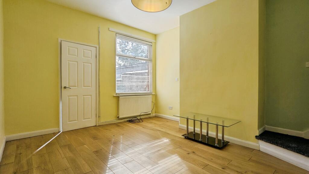
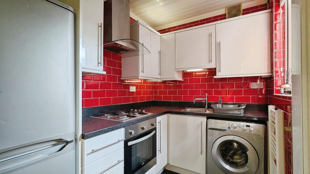
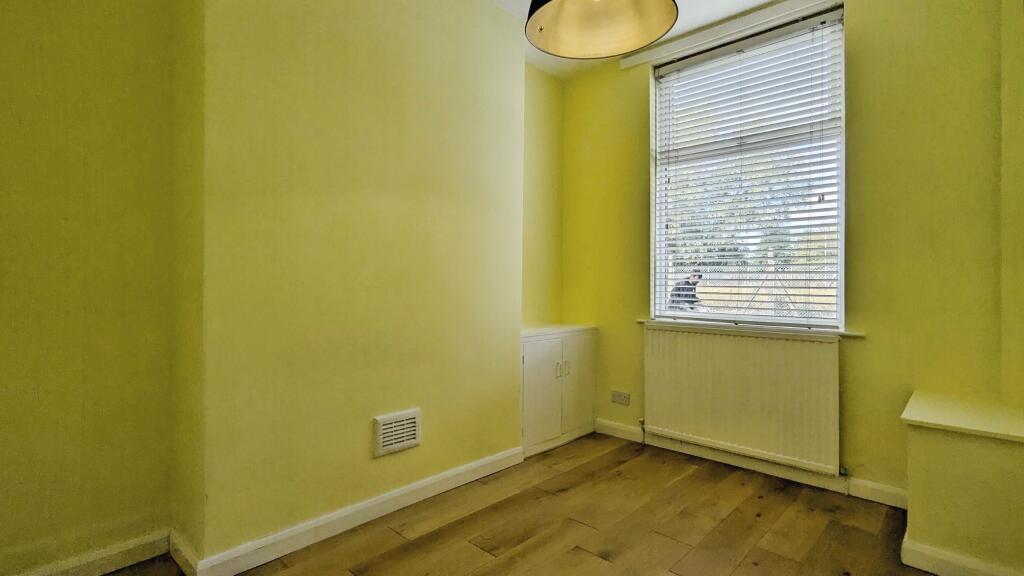
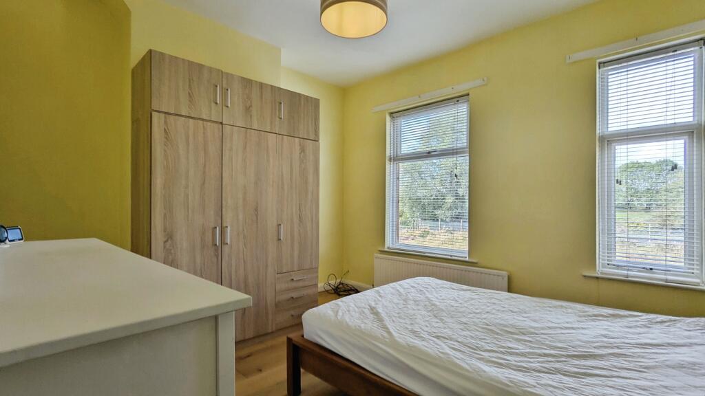
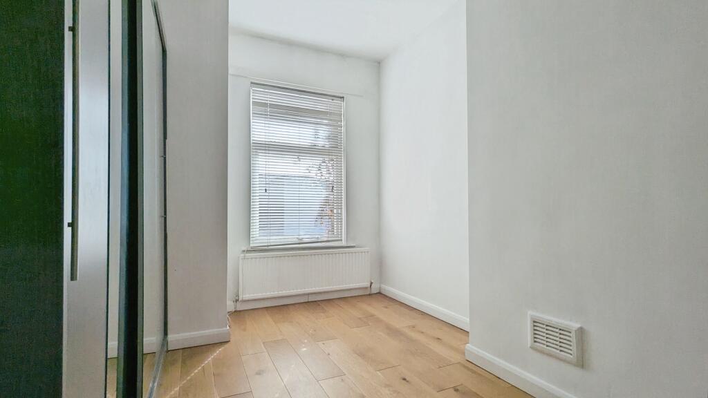
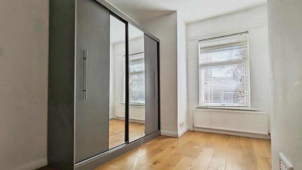
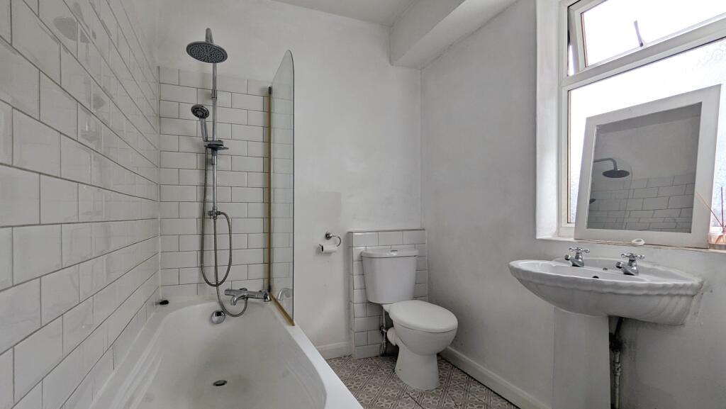
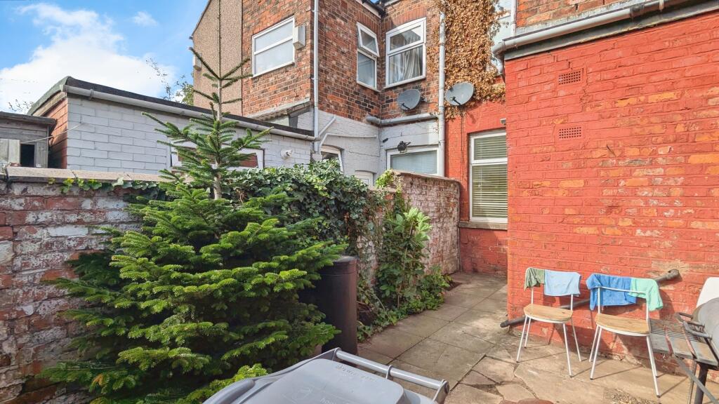
REFURBISHED 2 BED, 2 RECEPTION FAMILY HOME - NOW AVAILABLE
- Bedrooms
- 2
- Bathrooms
- 1
The heatmap indicates the level of crime in the area. The color of the heatmap indicates the crime severity and recency.
Metrics Year-on-Year
- Average area value
- 246,100.00 £Decreased by 2.49 %
- Average area rental value
- 1,331.00 £/moDecreased by 13.80 %
- Est rental Yield
- 6.49 %Decreased by 11.58 %
- Crime Rate
- 0.00 %
from 252,389.00 £
from 1,544.00 £/mo
from 7.34 %
from 0.00 %
Agent Activity
Northwood created the listing.
Nearby Schools
| Name | Type | Ofsted | Distance |
|---|---|---|---|
| Park View Community Primary | Community School | Good | 0.76 KM |
| Miles Platting And Ancoats Children Centre | Children's Centre | 0.82 KM | |
| St Augustine'S Cofe Primary School | Voluntary Controlled School | Good | 1.16 KM |
| Ashbury Meadow Sure Start Children'S Centre | Children's Centre | 1.36 KM | |
| St Edmund'S Rc Primary School | Voluntary Aided School | Good | 1.40 KM |
Images

Nearby Streets
| Name | Average Price | Average Sqft | Distance |
|---|---|---|---|
| New Street | £ 0 | 0 | 0.00 KM |
| Charnley Close | £ 0 | 0 | 0.00 KM |
| Chapter Street | £ 0 | 0 | 0.00 KM |
| Sawley Road | £ 281,667 | 0 | 0.00 KM |
| Bradford Road | £ 0 | 0 | 0.00 KM |
Nearby Transport
| Name | NLC | TLC | Distance |
|---|---|---|---|
| Ardwick | 2960 | ADK | 2.37 KM |
| Ashburys | 2941 | ABY | 2.45 KM |
| Manchester Piccadilly | 2968 | MAN | 3.21 KM |
| Manchester Victoria | 2970 | MCV | 4.15 KM |
| Belle Vue | 2785 | BLV | 4.19 KM |
Nearby Listings
| Address | Price | Type | Score | Distance |
|---|---|---|---|---|
| Brookhill Street, Manchester, M40 | £ 975 | RENT | Unknown | 0.00 KM |
| Penzance Street :: Miles Platting | £ 1,100 | RENT | Unknown | 0.09 KM |
| Broxton Street, Manchester, M40 | £ 995 | RENT | Unknown | 0.19 KM |
| Energy Street, Manchester, M40 7ZQ | £ 1,050 | RENT | Unknown | 0.19 KM |
| Danson Street, Manchester | £ 1,400 | RENT | Unknown | 0.55 KM |
Nearby Properties
| Address | Price | Distance |
|---|---|---|
| 152 Brookhill Street | £ 160,500 | 0.00 KM |
| 154 Brookhill Street | £ 102,000 | 0.00 KM |
| 166 Brookhill Street | £ 65,000 | 0.02 KM |
| 176 Brookhill Street | £ 40,000 | 0.02 KM |
| 267 Sandal Street | £ 60,000 | 0.04 KM |