
TH
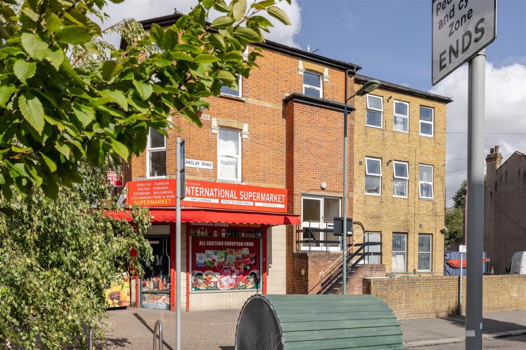
High Road Leytonstone, Leytonstone
By The Stow Brothers
£ 1,750
The Stow Brothers says ..
No summary available.
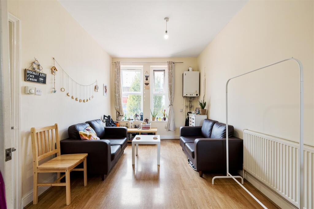
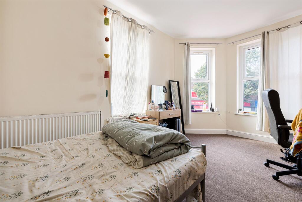
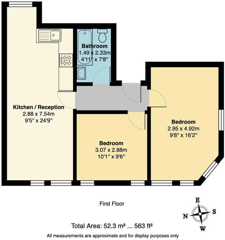
- Bedrooms
- 2
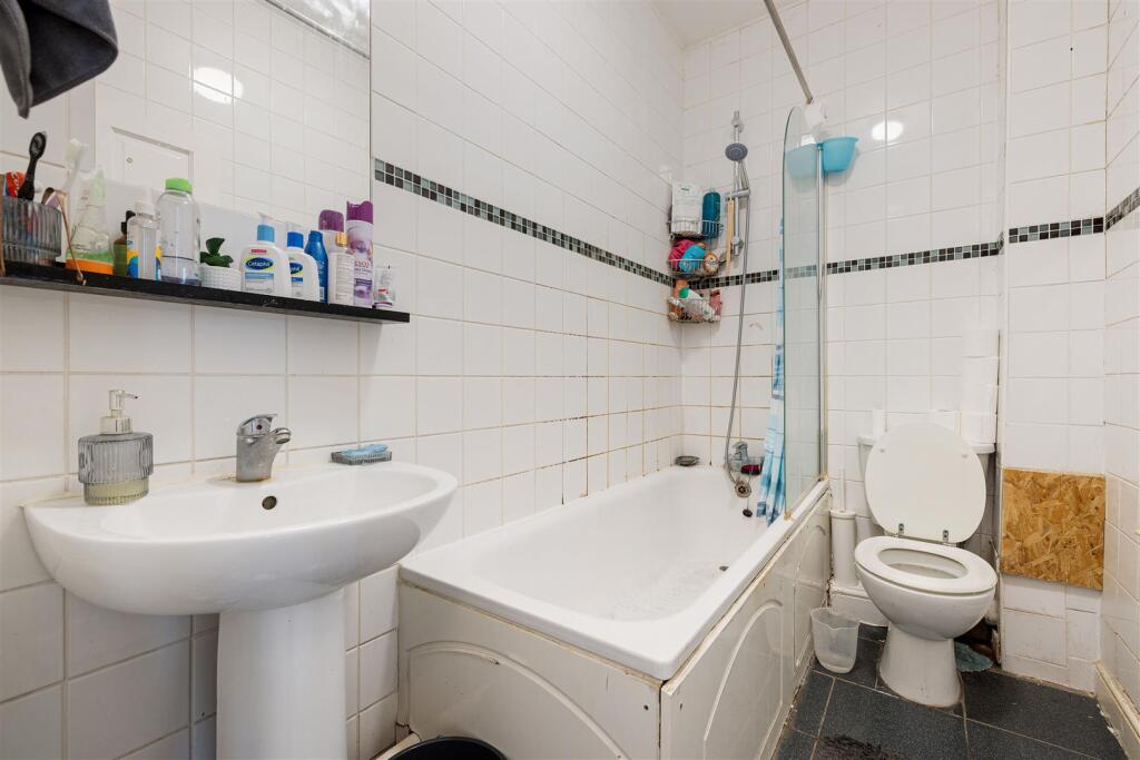
- Bathrooms
- 1
The heatmap indicates the level of crime in the area. The color of the heatmap indicates the crime severity and recency.
Metrics Year-on-Year
- Average area value
- 775,000.00 £Increased by 28.05 %
- Average area rental value
- 1,926.00 £/moIncreased by 6.88 %
- Est rental Yield
- 2.98 %Decreased by 16.53 %
- Crime Rate
- 11.00 %Unchanged by 0.00 %
from 605,229.00 £
from 1,802.00 £/mo
from 3.57 %
from 11.00 %
Agent Activity
The Stow Brothers created the listing.
Nearby Schools
| Name | Type | Ofsted | Distance |
|---|---|---|---|
| George Tomlinson Primary School | Community School | Good | 0.15 KM |
| Davies Lane Children Centre | Children's Centre Linked Site | 0.27 KM | |
| Davies Lane Primary School | Academy Converter | 0.27 KM | |
| Connaught School For Girls | Academy Converter | Good | 0.63 KM |
| Acacia Nursery | Local Authority Nursery School | Good | 0.74 KM |
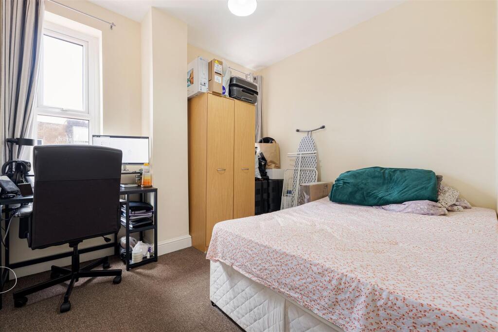
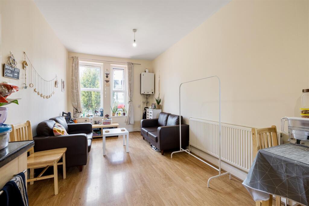
Images


Nearby Streets
| Name | Average Price | Average Sqft | Distance |
|---|---|---|---|
| Davies Lane | £ 0 | 0 | 0.00 KM |
| Carlton Road | £ 775,000 | 0 | 0.00 KM |
| King's Road | £ 756,250 | 0 | 0.00 KM |
| Chelmsford Road | £ 1,275,000 | 0 | 0.00 KM |
| Scarborough Road | £ 725,000 | 0 | 0.00 KM |
Nearby Transport
| Name | NLC | TLC | Distance |
|---|---|---|---|
| Leytonstone High Road | 7403 | LER | 0.37 KM |
| Leyton Midland Road | 7402 | LEM | 2.06 KM |
| Maryland | 6970 | MYL | 2.31 KM |
| Wanstead Park | 7408 | WNP | 2.40 KM |
| Forest Gate | 6876 | FOG | 2.44 KM |
Nearby Listings
| Address | Price | Type | Score | Distance |
|---|---|---|---|---|
| High Road Leytonstone, Leytonstone | £ 1,750 | RENT | Unknown | 0.00 KM |
| Flat 1 733High Road Leytonstone,London,E11 | £ 1,300 | RENT | Unknown | 0.03 KM |
| High Road Leytonstone, Leytonstone, London, E11 | £ 351 | RENT | Unknown | 0.05 KM |
| High Road Leytonstone, London, E11 | £ 1,480 | RENT | Unknown | 0.08 KM |
| High Road Leytonstone, London, E11 | £ 2,050 | RENT | Unknown | 0.08 KM |
Nearby Properties
| Address | Price | Distance |
|---|---|---|
| 755a High Road Leytonstone | £ 200,500 | 0.03 KM |
| 767a High Road Leytonstone | £ 258,000 | 0.03 KM |
| 773a High Road Leytonstone | £ 178,000 | 0.03 KM |
| 755b High Road Leytonstone | £ 45,300 | 0.03 KM |
| 747a High Road Leytonstone | £ 10 | 0.03 KM |