Badger Drive, Watton, Thetford
By William H. Brown
£ 280,000
Reviews
3 out of 5 stars
William H. Brown says ..
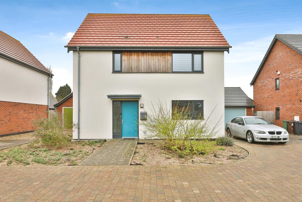
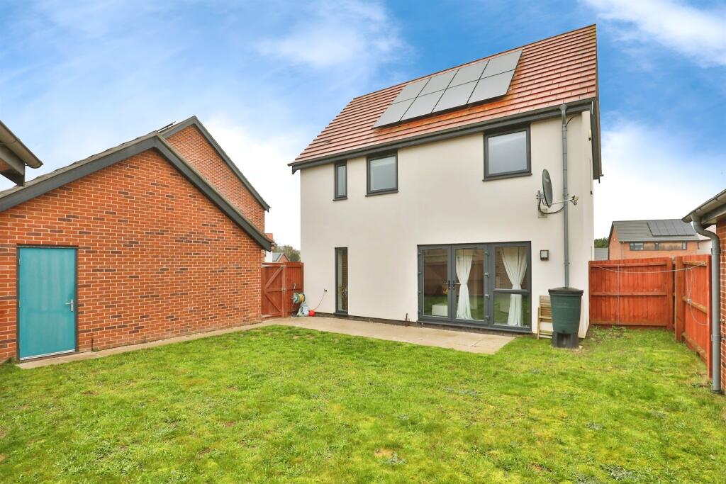
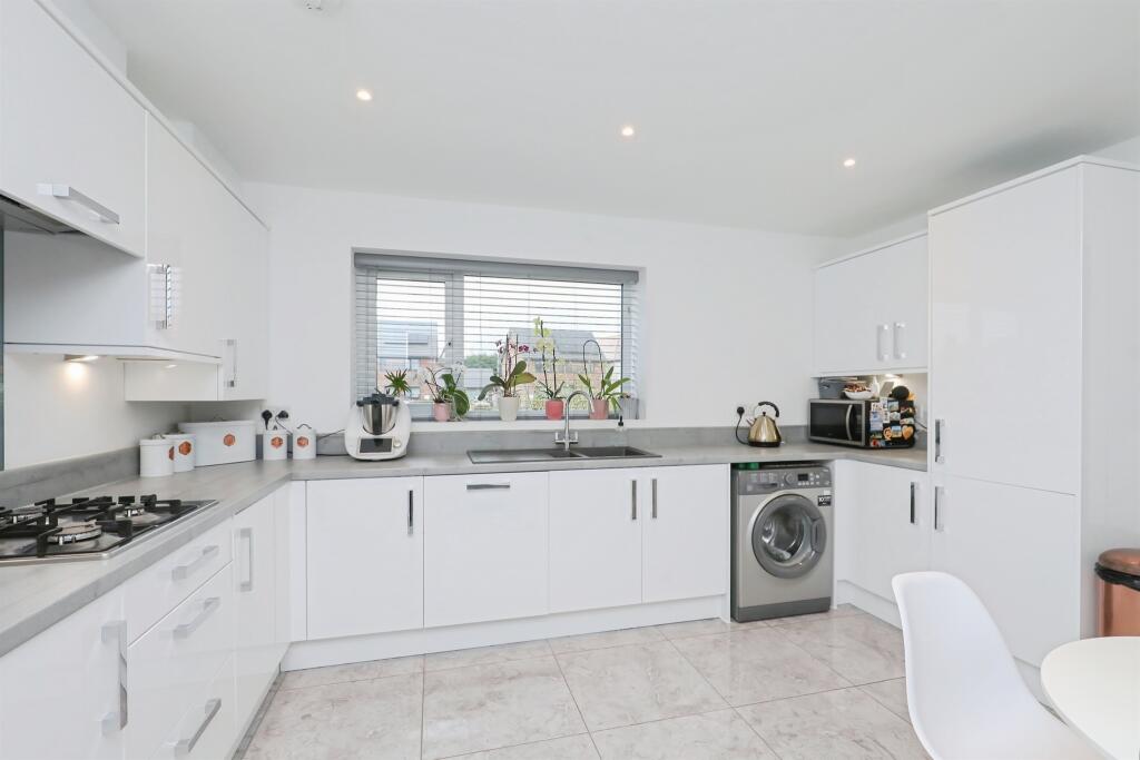
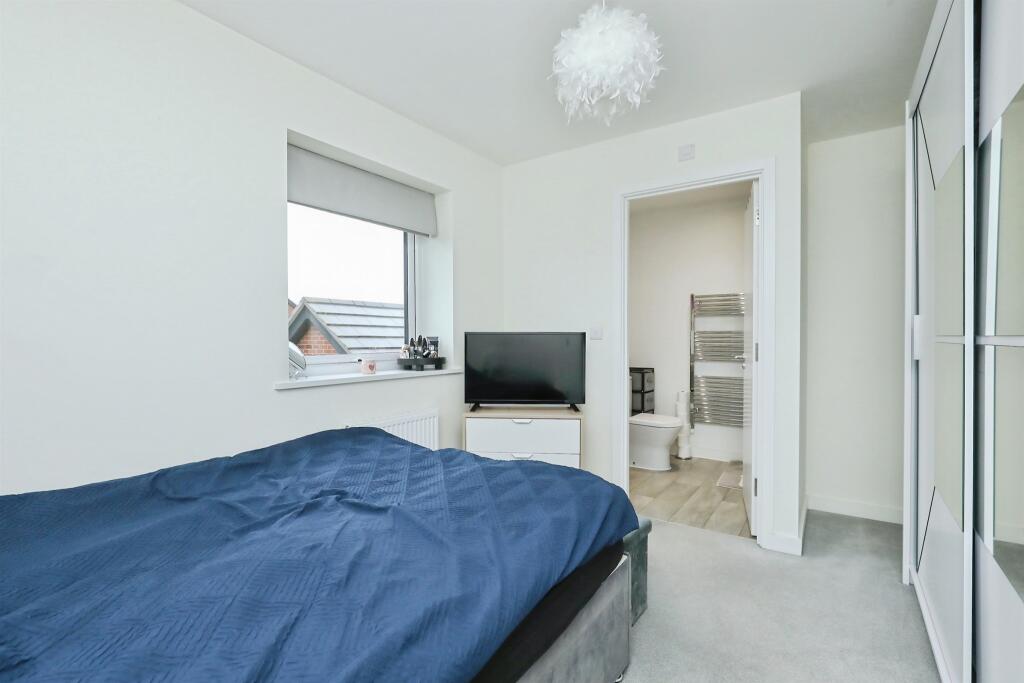
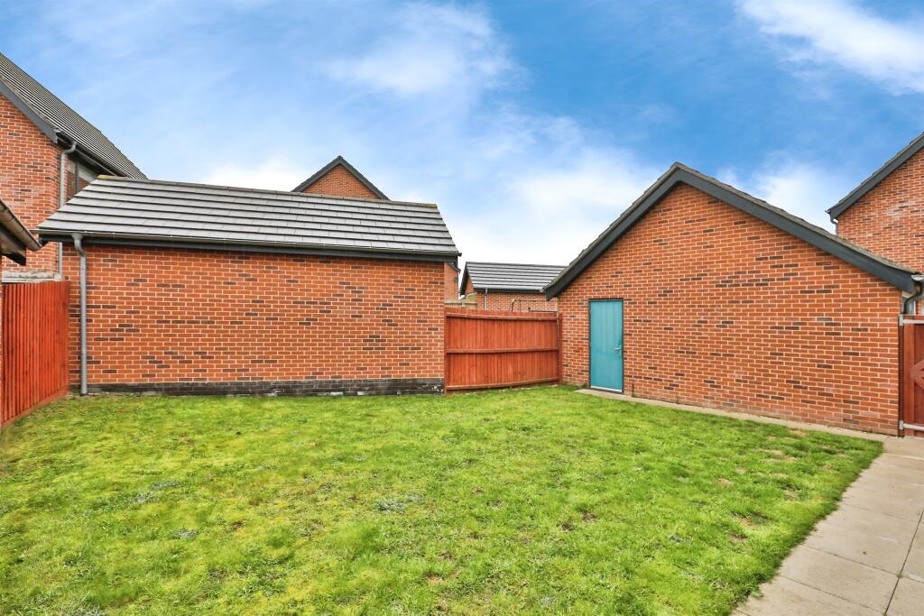
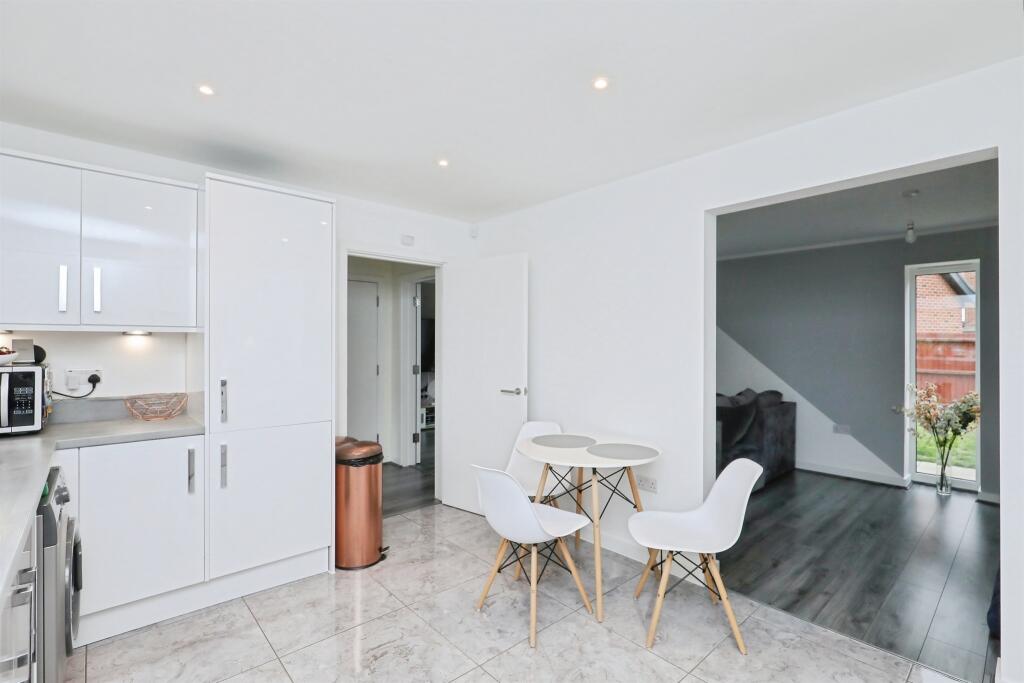
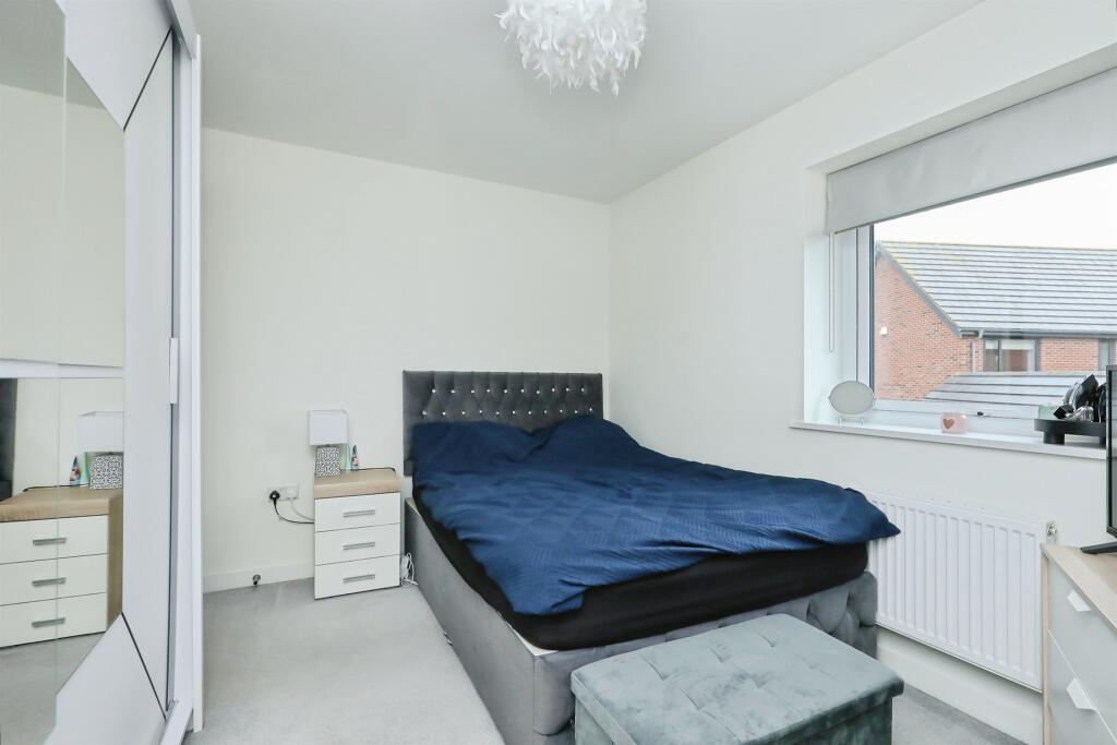
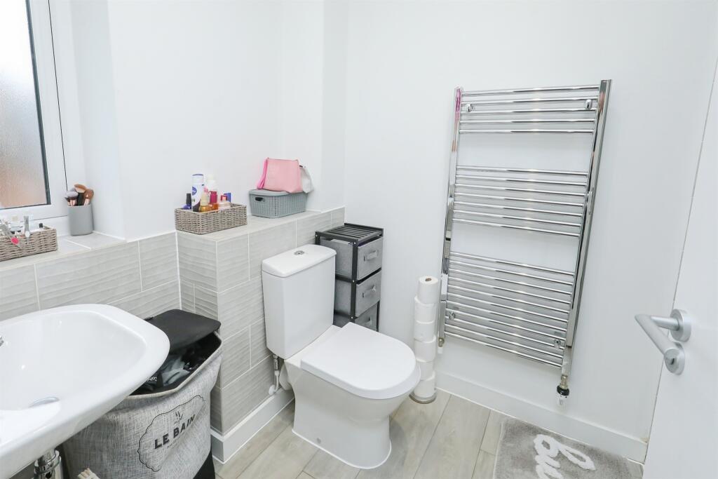
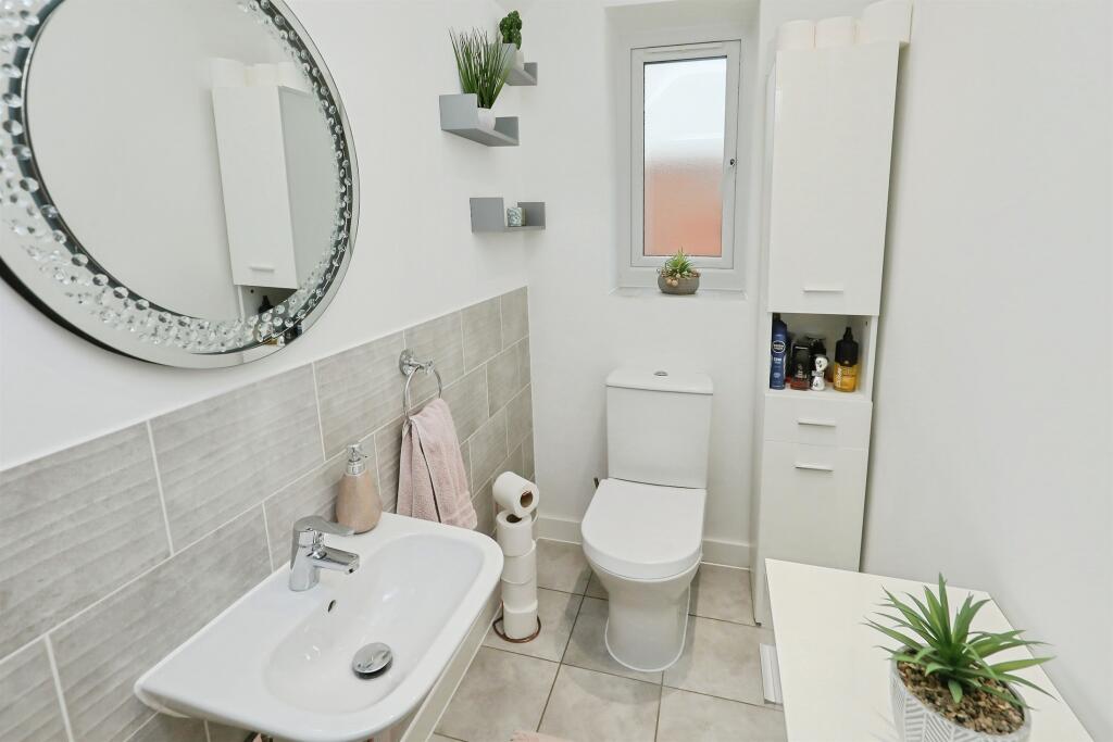
> > REMAINING NHBC WARRANTY! A well presented 3 bedroom detached 'A' rated house built by Abel Homes & located within close proximity to Watton town centre. Further boasting triple glazed windows, fully fitted kitchen with integrated Bosch appliances, master bedroom en suite, gardens and garage.
Property Oracle says ..
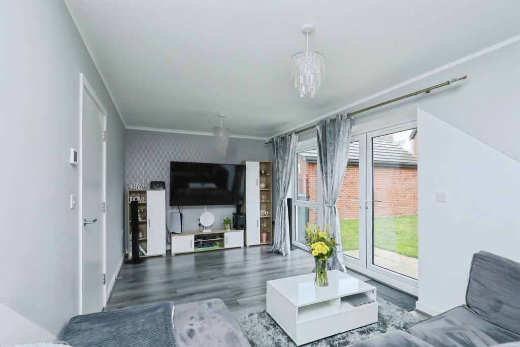
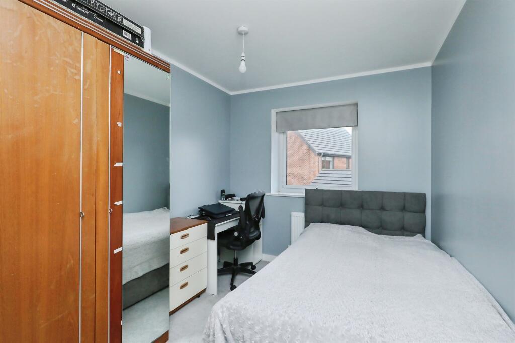
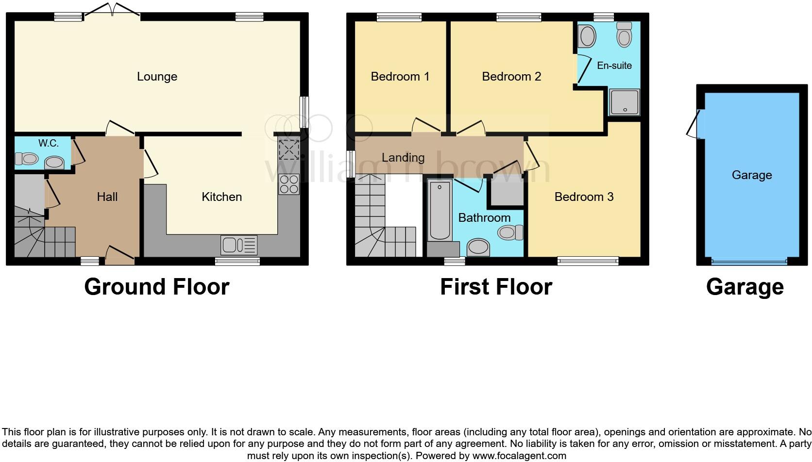
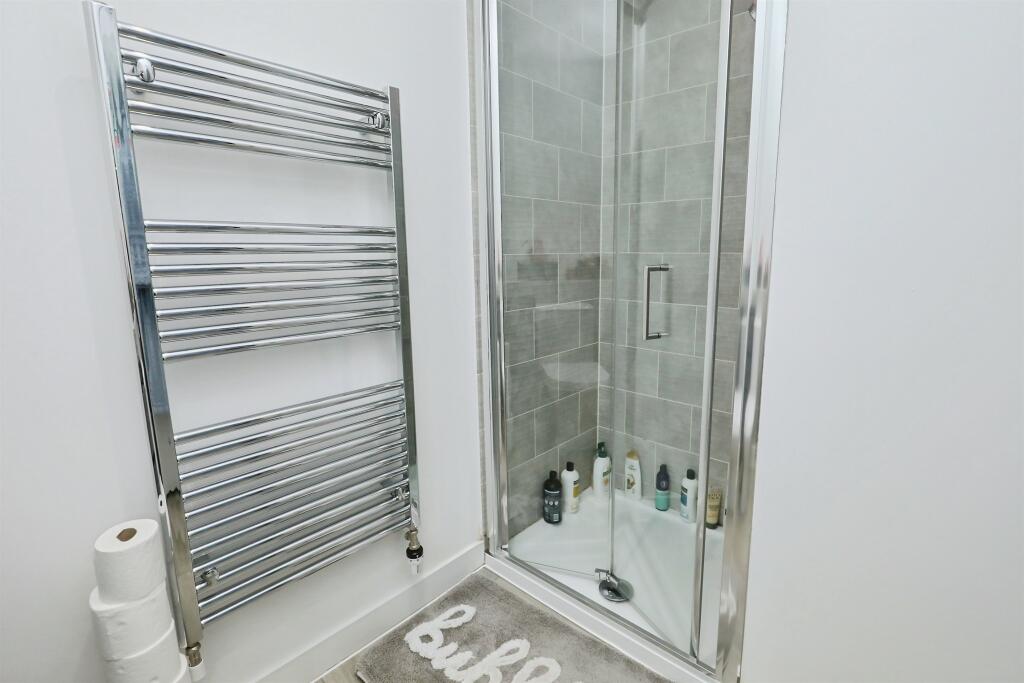
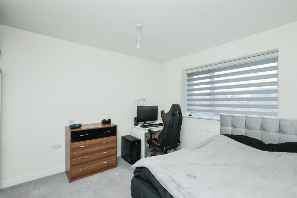
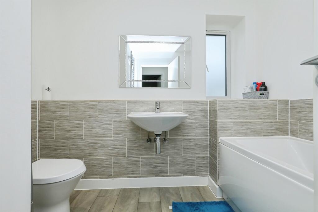
The property is a 3-bedroom, 2-bathroom detached house located in Watton, Norfolk. The list price is £280,000, and the property has a total area of 420 sqft. The average price for properties in the area is significantly higher at £304,666, with an average size of 1,152 sqft. The average price per sqft in the area is £264. The property appears to be in excellent condition, with modern fixtures and fittings throughout. The images show a recently renovated or newly built home that is well-maintained and presented. There is a small garden visible in the provided photos. The location is in Watton, which has several schools within a reasonable distance, including Watton Westfield Infant and Nursery School (rated ‘Good’) and St Peter and St Paul Church of England Primary Academy & Nursery (also rated ‘Good’). The proximity to these schools could be a positive factor for families. Information on nearby transportation links is not available. Considering the property’s modern condition, the small size, and the inclusion of a garden, the list price of £280,000 appears to be in line with or slightly below the average price for similar properties in the area, despite the smaller size. However, the lack of plot size information and the absence of details on nearby transportation options limit the scope of this analysis.
Therefore, we give this property 6 / 10. *Disclaimer: This is our option and does constitute a recommendation or financial advice. Do your own research. *
- Price
- 7
- Condition
- 9
- Location
- 7
- Land
- 3
- Bedrooms
- 3
- Bathrooms
- 2
- Sqft (est)
- 420.00
The heatmap indicates the level of crime in the area. The color of the heatmap indicates the crime severity and recency.
Metrics Year-on-Year
- Average area value
- 296,999.00 £Increased by 10.48 %
- Est sale value
- 135,660.00 £Increased by 18.32 %
- Average area rental value
- 900.00 £/moDecreased by 21.53 %
- Est letting value
- 0.00 £/moDecreased by 100.00 %
- Est rental Yield
- 3.64 %Decreased by 28.91 %
- Crime Rate
- 7.00 %Unchanged by 0.00 %
Agent Activity
William H. Brown created the listing.
Nearby Schools
| Name | Type | Ofsted | Distance |
|---|---|---|---|
| Wayland Academy | Academy Converter | Requires improvement | 1.92 KM |
| Watton Children'S Centre | Children's Centre | 2.17 KM | |
| Watton Westfield Infant And Nursery School | Academy Sponsor Led | Good | 2.29 KM |
| Watton Junior School | Academy Sponsor Led | 2.49 KM | |
| St Peter And St Paul Church Of England Primary Academy & Nursery | Academy Converter | Good | 4.08 KM |
Images


Nearby Streets
| Name | Average Price | Average Sqft | Distance |
|---|---|---|---|
| Bramble Way | £ 290,000 | 0 | 0.00 KM |
| Crabtree Close | £ 382,500 | 0 | 0.00 KM |
| Gillman's Drift | £ 0 | 0 | 0.00 KM |
| Burr Close | £ 550,000 | 0 | 0.00 KM |
| Saint Mary's Close | £ 0 | 0 | 0.00 KM |
Nearby Listings
| Address | Price | Type | Score | Distance |
|---|---|---|---|---|
| Badger Drive, Watton, Thetford | £ 280,000 | BUY | 6 / 10 | 0.00 KM |
| Harvest Road, Watton, Thetford, Norfolk, IP25 | £ 260,000 | BUY | 7 / 10 | 0.08 KM |
| Harvest Road, Watton, IP25 | £ 350,000 | BUY | 7 / 10 | 0.08 KM |
| Harvest Road, Watton | £ 240,000 | BUY | 7 / 10 | 0.09 KM |
| Harvest Road, Watton | £ 250,000 | BUY | 7 / 10 | 0.10 KM |
Nearby Properties
| Address | Price | Distance |
|---|---|---|
| 13 Blenheim Way | £ 190,000 | 0.14 KM |
| 43 Blenheim Way | £ 156,000 | 0.14 KM |
| 9 Blenheim Way | £ 38,000 | 0.14 KM |
| 45 Blenheim Way | £ 105,000 | 0.14 KM |
| 21 Blenheim Way | £ 176,000 | 0.14 KM |