
YO
Walton Lane, Liverpool, L4
By Yopa
£ 160,000
Yopa says ..
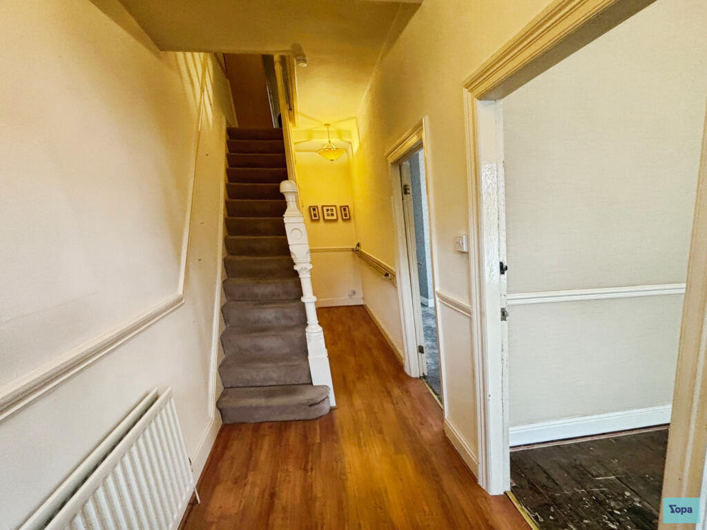
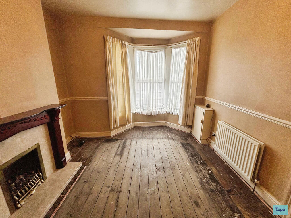
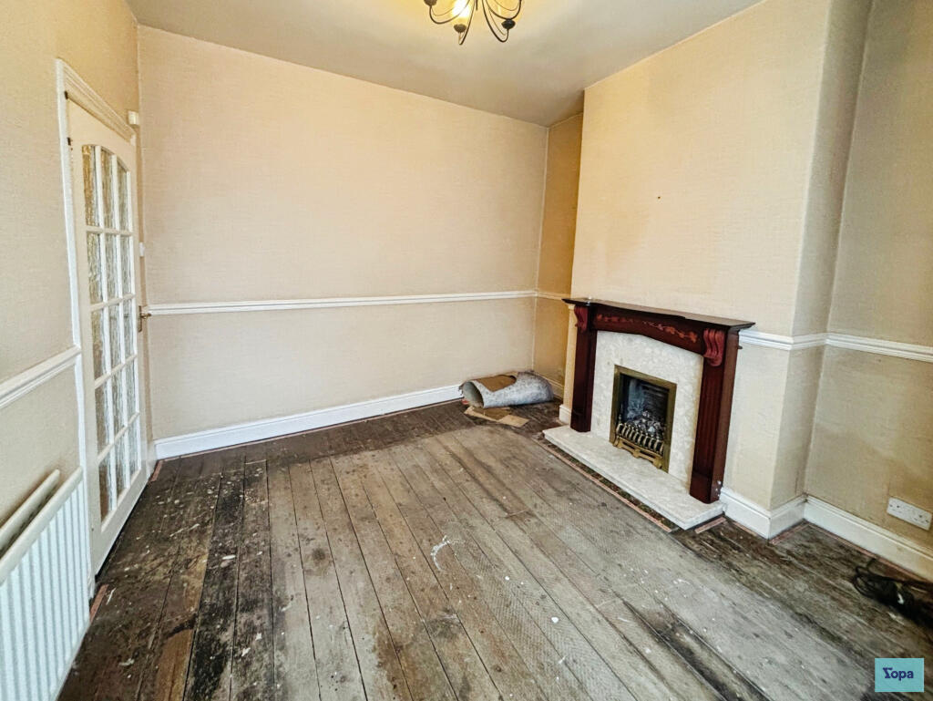
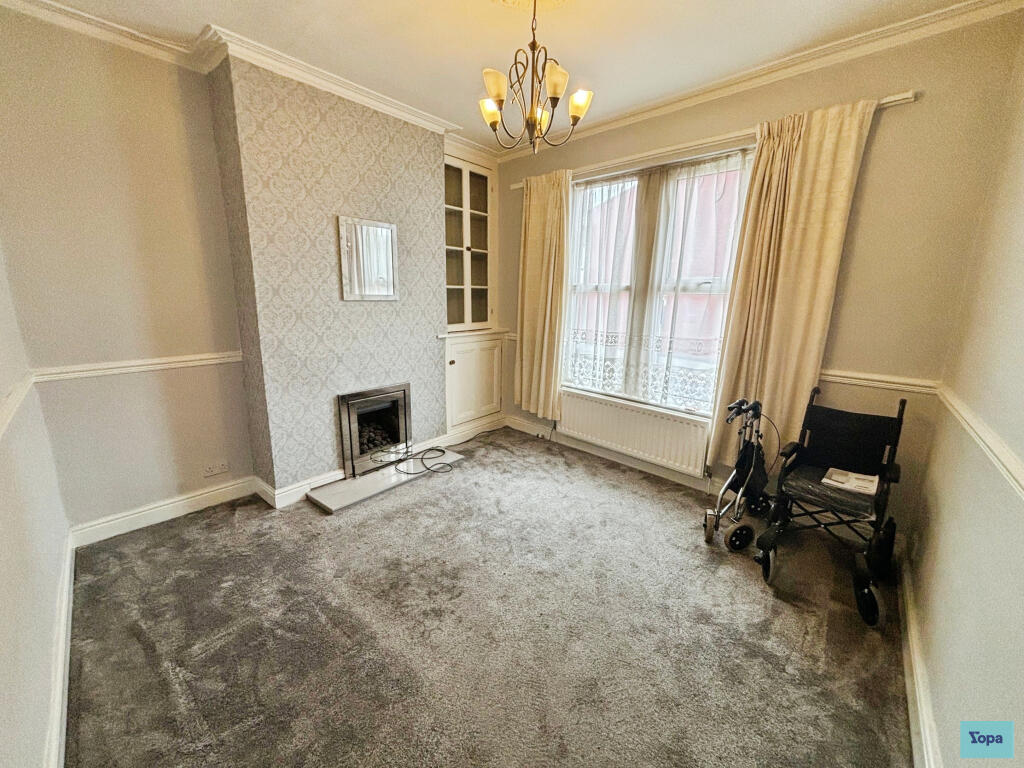
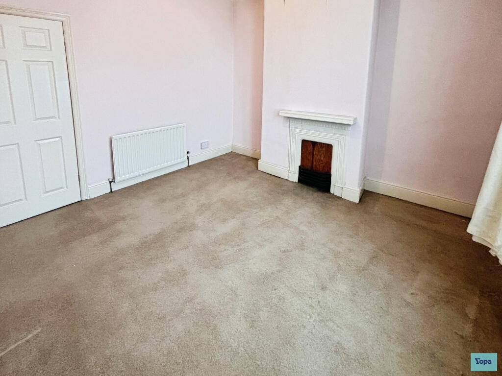
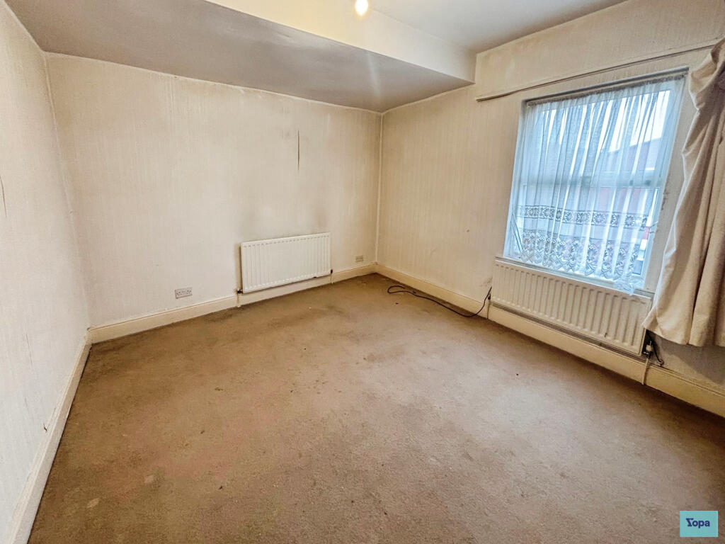
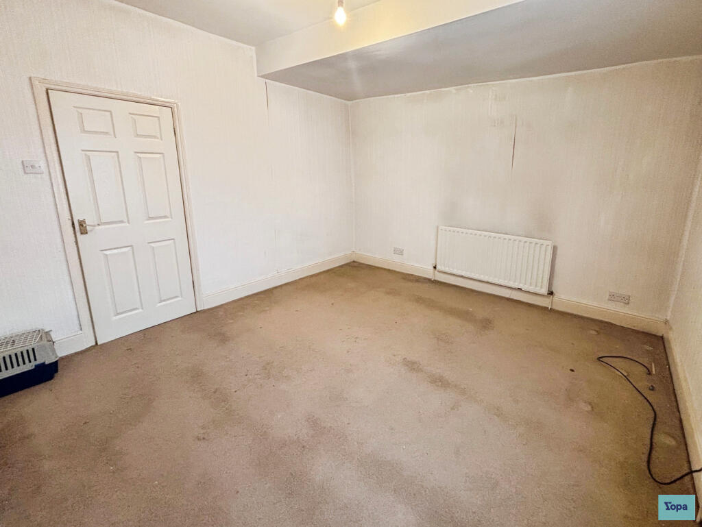
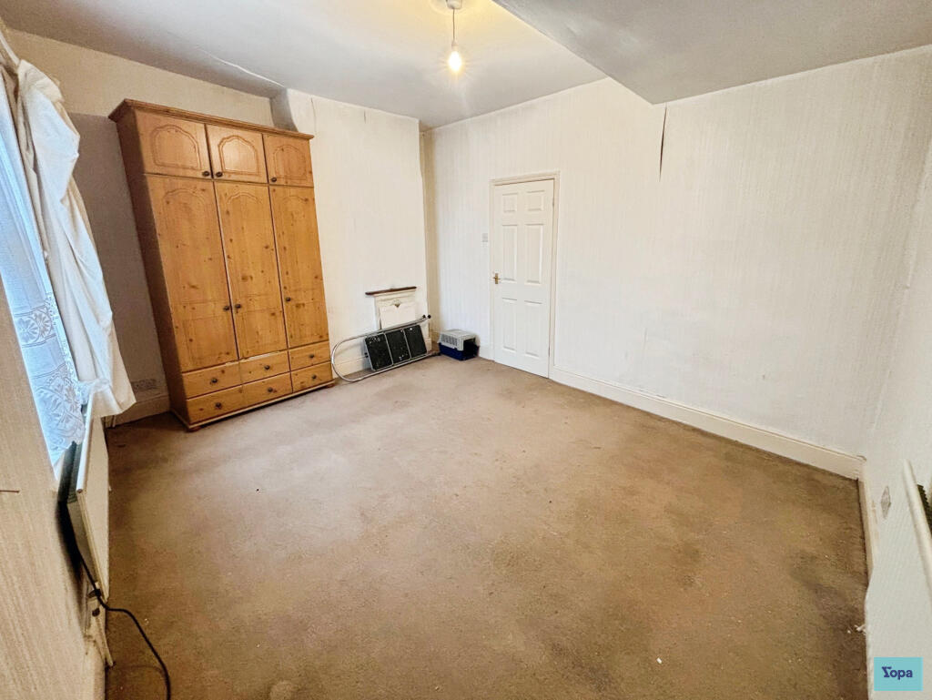
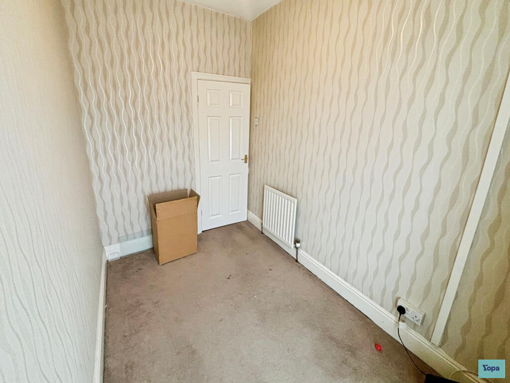
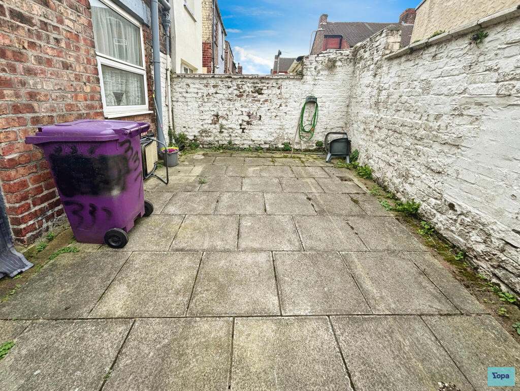
4 Bed End Of Terrace Home, Walton Lane L4
- Bedrooms
- 4
- Bathrooms
- 1
The heatmap indicates the level of crime in the area. The color of the heatmap indicates the crime severity and recency.
Metrics Year-on-Year
- Average area value
- 116,250.00 £Increased by 8.73 %
- Average area rental value
- 695.00 £/moDecreased by 10.67 %
- Est rental Yield
- 7.17 %Decreased by 17.87 %
- Crime Rate
- 6.00 %Unchanged by 0.00 %
from 106,921.00 £
from 778.00 £/mo
from 8.73 %
from 6.00 %
Agent Activity
Yopa created the listing.
Nearby Schools
| Name | Type | Ofsted | Distance |
|---|---|---|---|
| Gwladys Street Primary And Nursery School | Community School | Good | 0.17 KM |
| Arnot St Mary Cofe Primary School | Voluntary Controlled School | Good | 0.70 KM |
| Alsop High School | Academy Sponsor Led | 0.72 KM | |
| County & Walton Children'S Centre | Children's Centre | 0.72 KM | |
| Everton Free School | Free Schools Alternative Provision | Good | 0.87 KM |
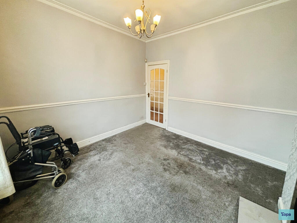
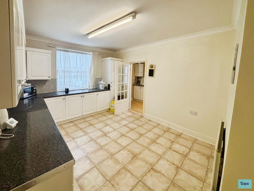
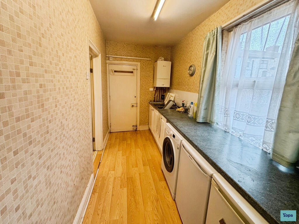
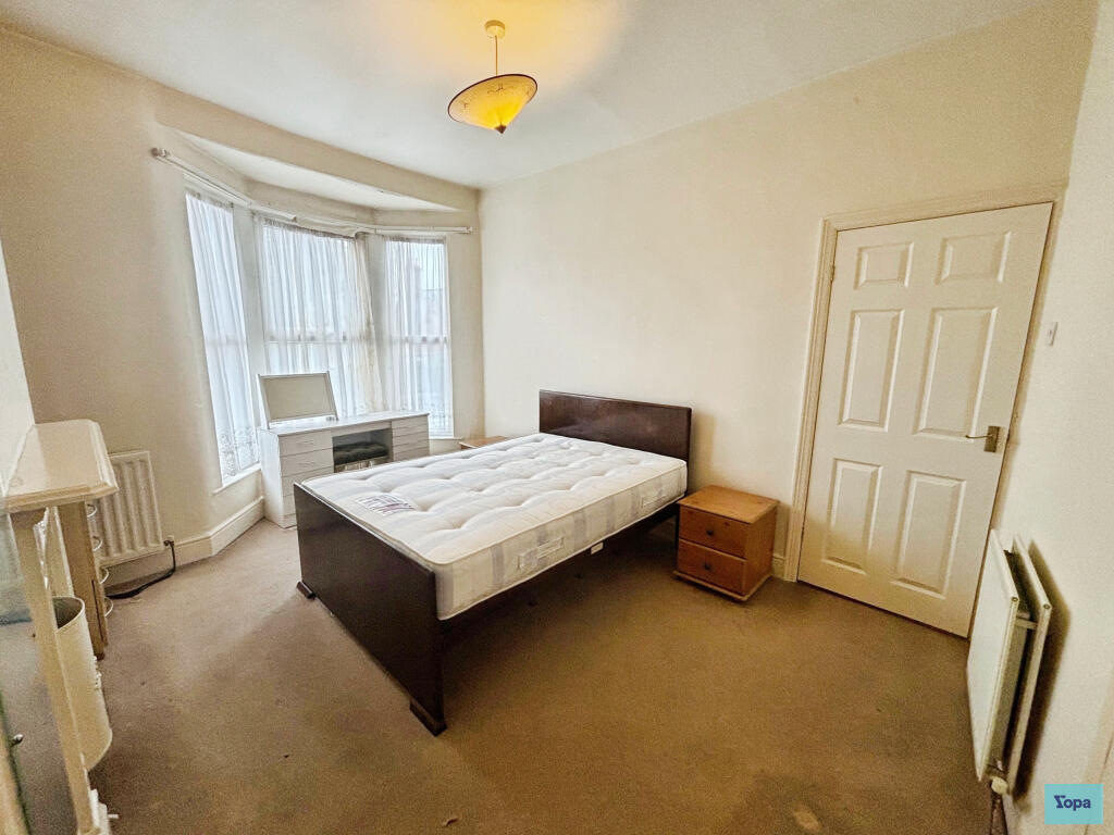
Images


Nearby Streets
| Name | Average Price | Average Sqft | Distance |
|---|---|---|---|
| Elm Road | £ 0 | 0 | 0.00 KM |
| Beech Road | £ 133,750 | 0 | 0.00 KM |
| St Mary's Avenue | £ 0 | 0 | 0.00 KM |
| Drayton Road | £ 75,000 | 0 | 0.00 KM |
| Heathcote Road | £ 0 | 0 | 0.00 KM |
Nearby Transport
| Name | NLC | TLC | Distance |
|---|---|---|---|
| Walton (Merseyside) | 2251 | WAO | 1.80 KM |
| Rice Lane | 2131 | RIL | 1.94 KM |
| Kirkdale | 2245 | KKD | 2.06 KM |
| Orrell Park | 2247 | OPK | 2.40 KM |
| Bank Hall | 2238 | BAH | 2.78 KM |
Nearby Listings
| Address | Price | Type | Score | Distance |
|---|---|---|---|---|
| Walton Lane, Liverpool, L4 | £ 160,000 | BUY | Unknown | 0.00 KM |
| Bodmin Road, Liverpool, Merseyside, L4 | £ 80,000 | BUY | 6 / 10 | 0.10 KM |
| Milman Road, Liverpool, Merseyside | £ 115,000 | BUY | 6 / 10 | 0.10 KM |
| Cowley Road, Liverpool, Merseyside, L4 | £ 140,000 | BUY | 6 / 10 | 0.13 KM |
| 349 Walton Lane, Liverpool, Merseyside, L4 5RL | £ 110,000 | BUY | Unknown | 0.16 KM |
Nearby Properties
| Address | Price | Distance |
|---|---|---|
| 293 Walton Lane | £ 82,000 | 0.01 KM |
| 329 Walton Lane | £ 40,000 | 0.01 KM |
| 333 Walton Lane | £ 92,000 | 0.01 KM |
| 305 Walton Lane | £ 64,500 | 0.01 KM |
| 319 Walton Lane | £ 80,000 | 0.01 KM |