YO
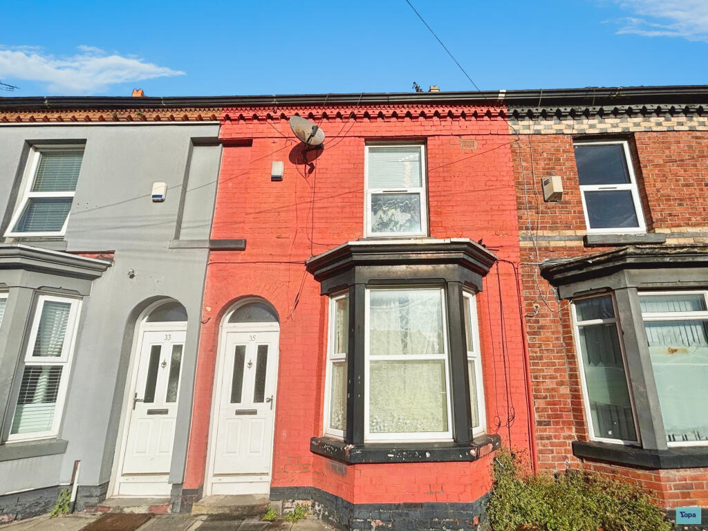
Toft Street, Liverpool, L7
By Yopa
£ 115,000
Yopa says ..
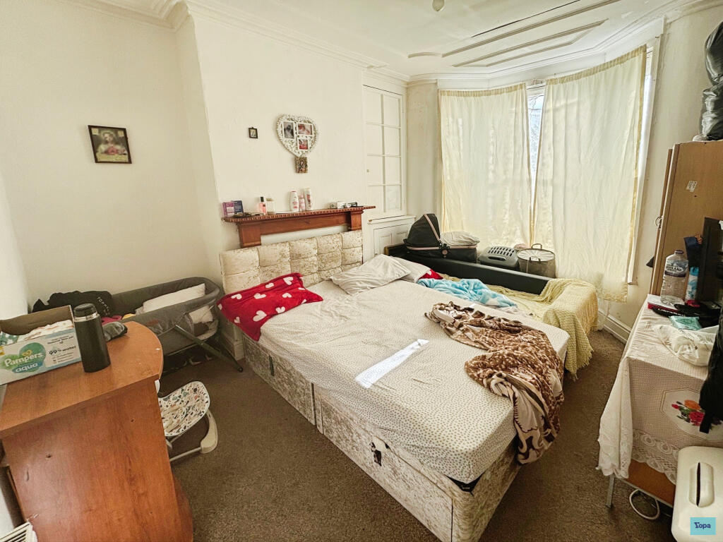
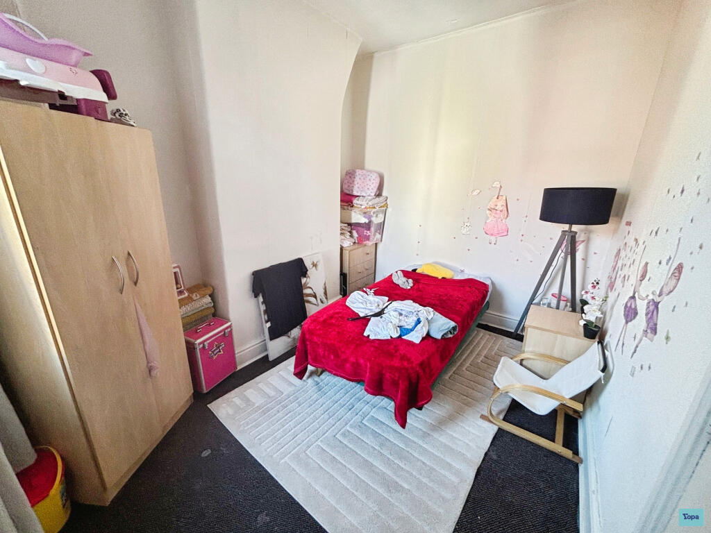
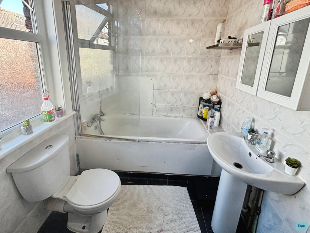
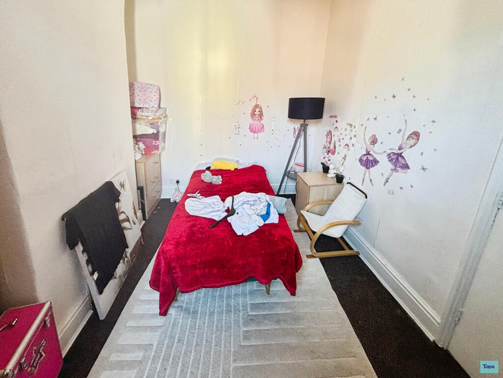
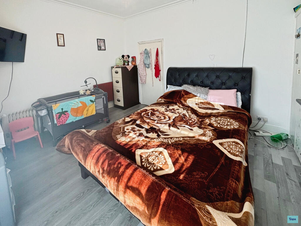
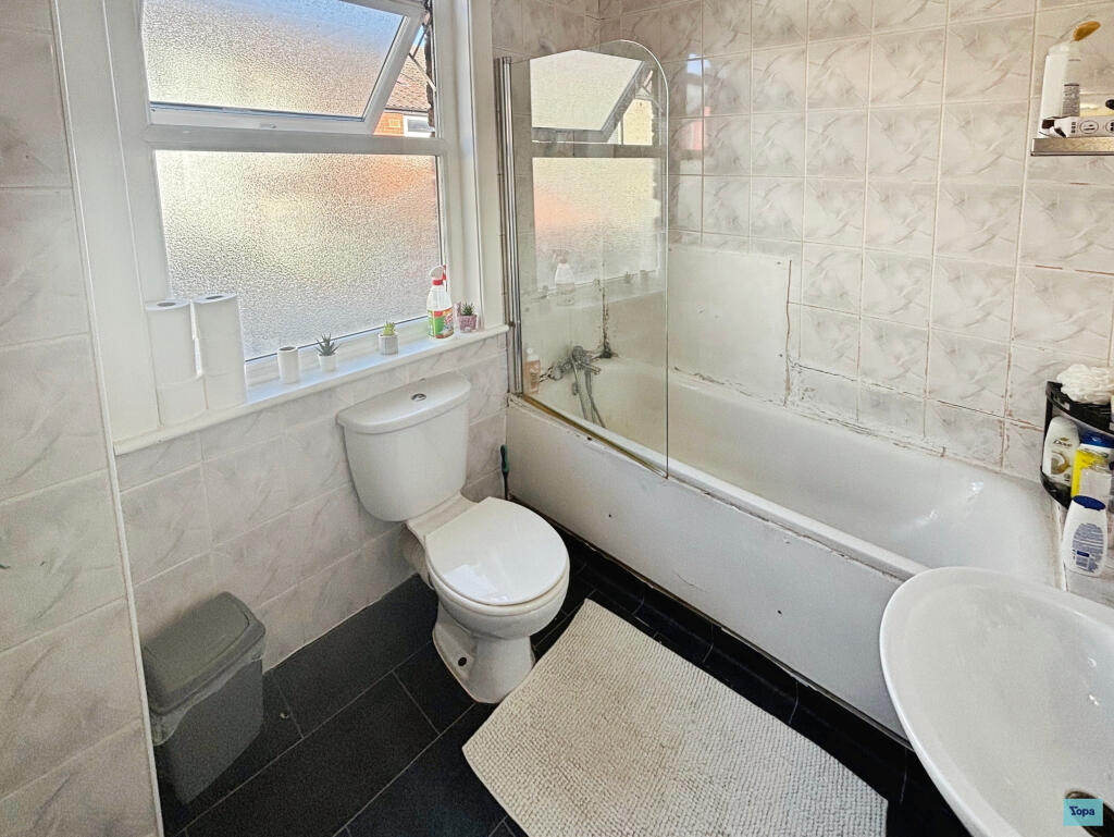
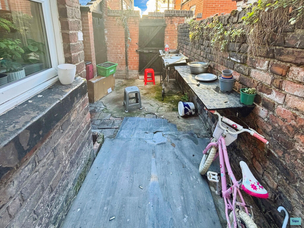
2 Bed Mid-Terrace Home, Toft Street L7
- Bedrooms
- 2
- Bathrooms
- 1
The heatmap indicates the level of crime in the area. The color of the heatmap indicates the crime severity and recency.
Metrics Year-on-Year
- Average area value
- 152,494.00 £Decreased by 1.22 %
- Average area rental value
- 782.00 £/moIncreased by 10.92 %
- Est rental Yield
- 6.15 %Increased by 12.23 %
- Crime Rate
- 6.00 %Unchanged by 0.00 %
from 154,370.00 £
from 705.00 £/mo
from 5.48 %
from 6.00 %
Agent Activity
Yopa created the listing.
Nearby Schools
| Name | Type | Ofsted | Distance |
|---|---|---|---|
| Kensington Primary School | Community School | Good | 0.27 KM |
| Kensington Children'S Centre (Life Bank) | Children's Centre | 0.40 KM | |
| Harmonize Academy Ap Free School | Free Schools Alternative Provision | Outstanding | 0.48 KM |
| Marydale Lodge Sch | Secure Units | 0.59 KM | |
| St Anne'S Catholic Primary School | Voluntary Aided School | Requires improvement | 0.95 KM |
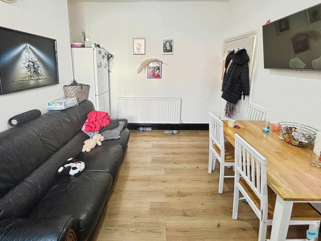
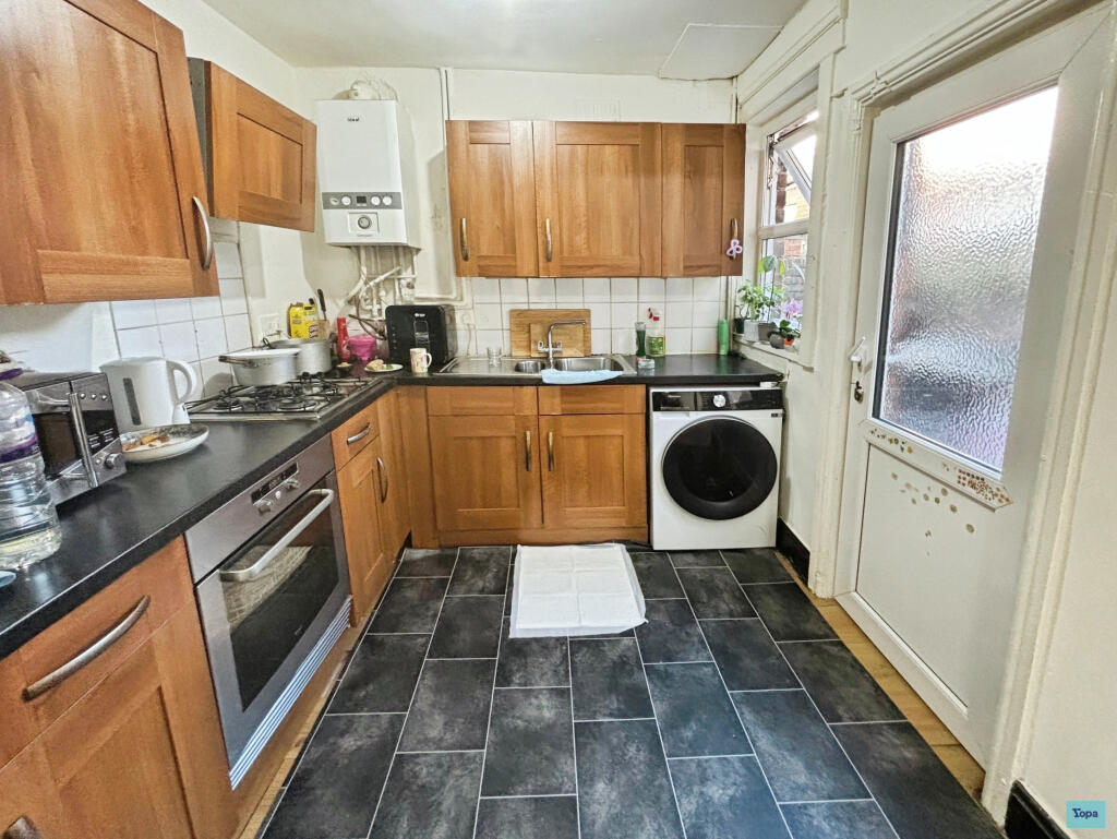
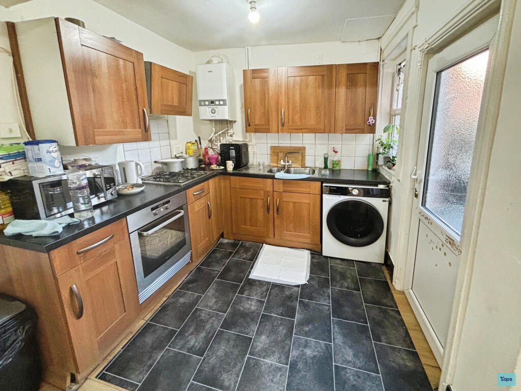
Images


Nearby Streets
| Name | Average Price | Average Sqft | Distance |
|---|---|---|---|
| Botanic Grove | £ 0 | 0 | 0.00 KM |
| Bremner Close | £ 0 | 0 | 0.00 KM |
| Crosfield Close | £ 350,000 | 0 | 0.00 KM |
| Gladstone Road | £ 0 | 0 | 0.00 KM |
| Winifred Street | £ 190,000 | 0 | 0.00 KM |
Nearby Transport
| Name | NLC | TLC | Distance |
|---|---|---|---|
| Edge Hill | 2169 | EDG | 0.68 KM |
| Wavertree Technology Park | 8589 | WAV | 2.70 KM |
| Liverpool Lime Street | 2246 | LIV | 3.39 KM |
| Liverpool Central | 2242 | LVC | 3.58 KM |
| St Michaels | 2248 | STM | 3.73 KM |
Nearby Listings
| Address | Price | Type | Score | Distance |
|---|---|---|---|---|
| Toft Street, Liverpool, L7 | £ 115,000 | BUY | Unknown | 0.00 KM |
| Wrenbury Street, LIVERPOOL | £ 140,000 | BUY | 5 / 10 | 0.06 KM |
| 118-124 Edge Lane, Liverpool, L7 | £ 45,000 | BUY | 4 / 10 | 0.08 KM |
| Edge Lane, Edge Hill, Liverpool, Merseyside, L7 | £ 40,000 | BUY | 5 / 10 | 0.08 KM |
| St Cyprians, Durning Road, Liverpool, L7 5NH | £ 35,000 | BUY | 5 / 10 | 0.09 KM |
Nearby Properties
| Address | Price | Distance |
|---|---|---|
| 19 Toft Street | £ 62,500 | 0.01 KM |
| 31 Toft Street | £ 50,000 | 0.01 KM |
| 5 Toft Street | £ 70,000 | 0.01 KM |
| 49 Toft Street | £ 55,000 | 0.01 KM |
| 21 Toft Street | £ 55,000 | 0.01 KM |