KI
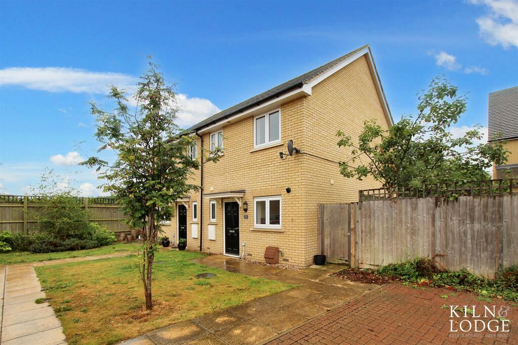
Mollands Lane, South Ockendon
By Kiln and Lodge Estates
£ 375,000
Kiln and Lodge Estates says ..
No summary available.
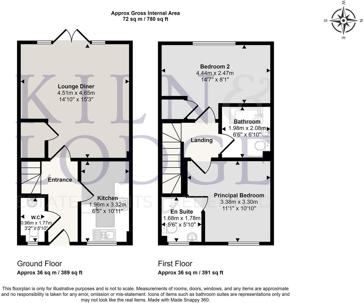
- Bedrooms
- 2
- Bathrooms
- 2
The heatmap indicates the level of crime in the area. The color of the heatmap indicates the crime severity and recency.
Metrics Year-on-Year
- Average area value
- 234,983.00 £Decreased by 47.41 %
- Average area rental value
- 1,345.00 £/moDecreased by 7.62 %
- Est rental Yield
- 6.87 %Increased by 75.70 %
- Crime Rate
- 2.00 %Unchanged by 0.00 %
from 446,796.00 £
from 1,456.00 £/mo
from 3.91 %
from 2.00 %
Agent Activity
Kiln and Lodge Estates created the listing.
Nearby Schools
| Name | Type | Ofsted | Distance |
|---|---|---|---|
| Benyon Primary School | Academy Sponsor Led | Good | 0.95 KM |
| Bonnygate Primary School | Academy Converter | 1.20 KM | |
| Ockendon Children'S Centre P1-2 | Children's Centre | 1.29 KM | |
| Shaw Primary Academy | Academy Converter | Good | 1.46 KM |
| Holy Cross Catholic Primary School | Academy Converter | 2.03 KM |
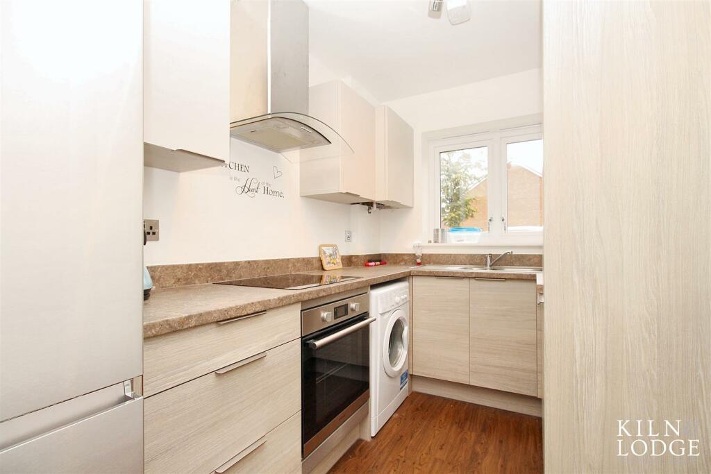
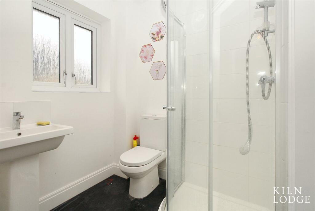
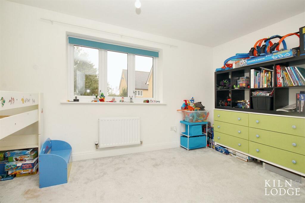
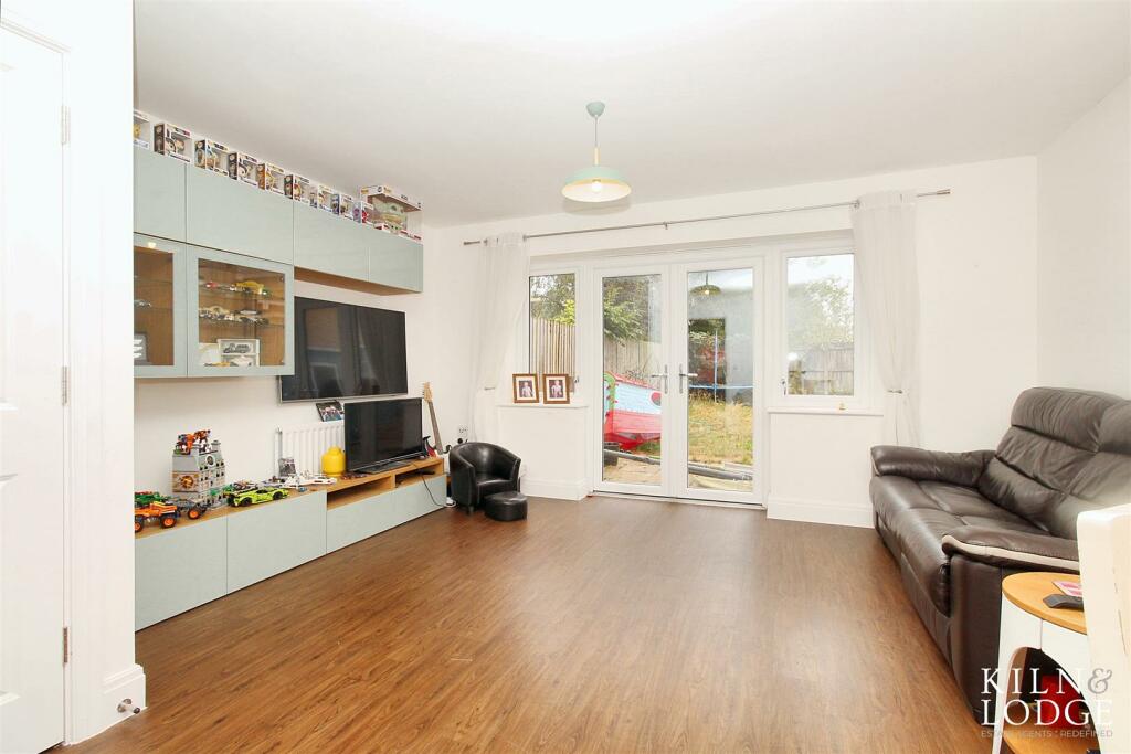
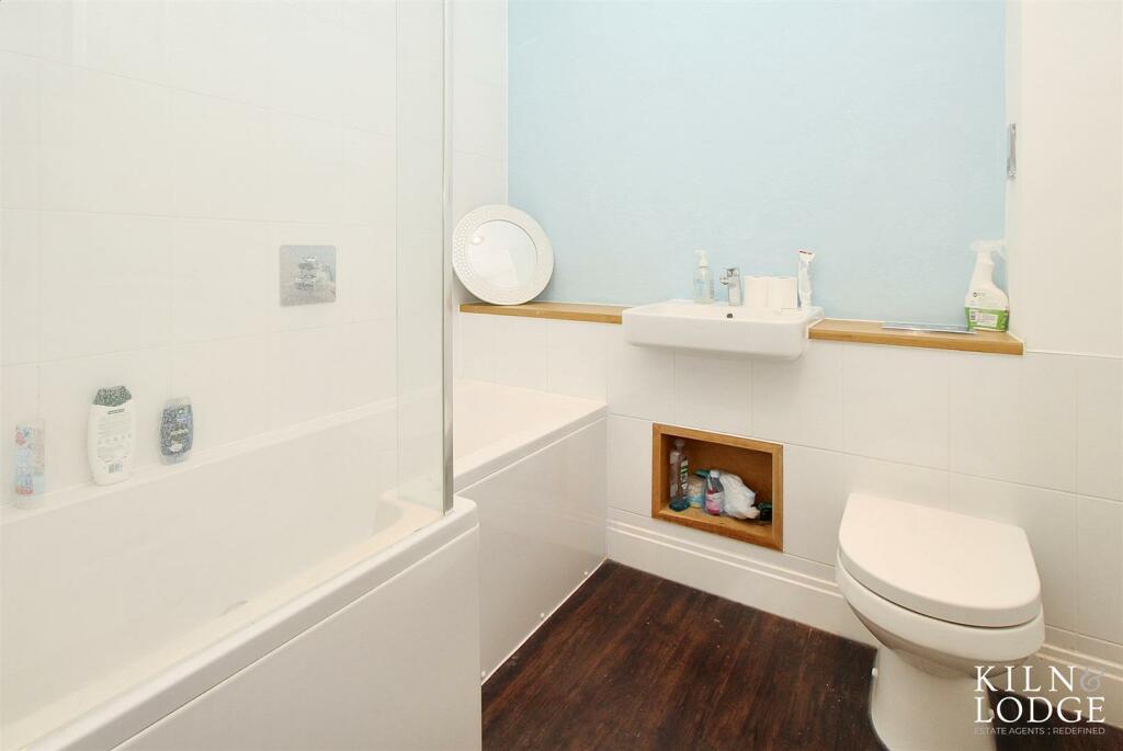
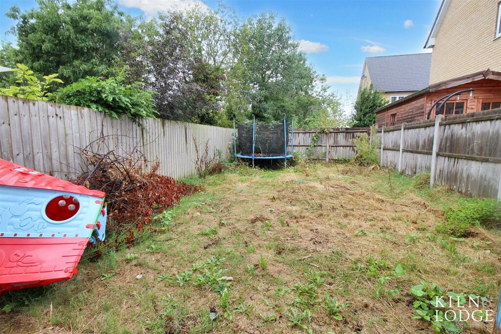
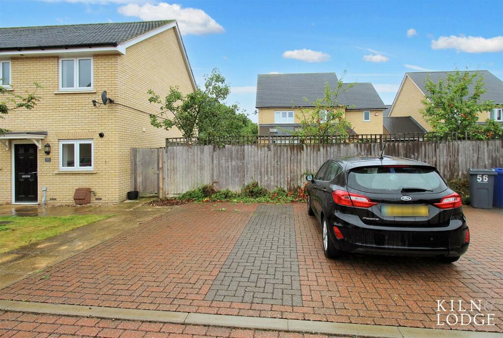
Images

Nearby Streets
| Name | Average Price | Average Sqft | Distance |
|---|---|---|---|
| Birch Road | £ 0 | 0 | 0.00 KM |
| Church Crescent | £ 0 | 0 | 0.00 KM |
| Orchard Close | £ 0 | 0 | 0.00 KM |
| Falcon Avenue | £ 260,000 | 0 | 0.00 KM |
| Nelson Road | £ 360,000 | 0 | 0.00 KM |
Nearby Transport
| Name | NLC | TLC | Distance |
|---|---|---|---|
| Ockendon | 7451 | OCK | 1.05 KM |
| Chafford Hundred | 7447 | CFH | 3.58 KM |
| Grays | 7443 | GRY | 5.16 KM |
| Upminster | 7464 | UPM | 7.07 KM |
| West Horndon | 7466 | WHR | 7.47 KM |
Nearby Listings
| Address | Price | Type | Score | Distance |
|---|---|---|---|---|
| Mollands Lane, South Ockendon | £ 375,000 | BUY | Unknown | 0.00 KM |
| Sycamore Way, Brandon Groves, South Ockendon | £ 600,000 | BUY | 7 / 10 | 0.06 KM |
| Mollands Lane, South Ockendon | £ 375,000 | BUY | 5 / 10 | 0.07 KM |
| Mollands Lane, South Ockendon, RM15 | £ 325,000 | BUY | Unknown | 0.09 KM |
| CEDAR RISE, Brandon Groves, South Ockendon, RM15 6RB | £ 360,000 | BUY | Unknown | 0.14 KM |
Nearby Properties
| Address | Price | Distance |
|---|---|---|
| 71 Mollands Lane | £ 300,000 | 0.07 KM |
| 59 Mollands Lane | £ 290,000 | 0.07 KM |
| 65 Mollands Lane | £ 330,000 | 0.07 KM |
| 55 Mollands Lane | £ 210,000 | 0.07 KM |
| 63 Mollands Lane | £ 300,000 | 0.07 KM |