BR
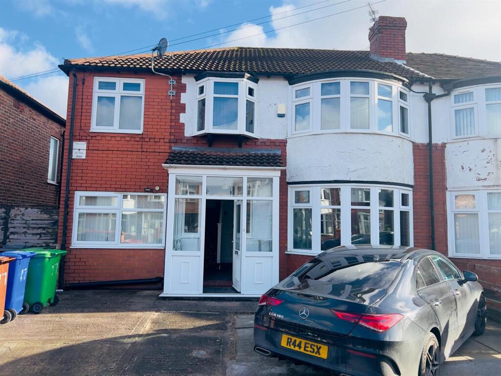
Bournelea Avenue, Manchester
By Bricks Properties
£ 2,500
Bricks Properties says ..
No summary available.
- Bedrooms
- 6
- Bathrooms
- 3
The heatmap indicates the level of crime in the area. The color of the heatmap indicates the crime severity and recency.
Metrics Year-on-Year
- Average area value
- 320,833.00 £Increased by 5.35 %
- Average area rental value
- 1,380.00 £/moDecreased by 15.49 %
- Est rental Yield
- 5.16 %Decreased by 19.75 %
- Crime Rate
- 0.00 %
from 304,545.00 £
from 1,633.00 £/mo
from 6.43 %
from 0.00 %
Agent Activity
Bricks Properties created the listing.
Nearby Schools
| Name | Type | Ofsted | Distance |
|---|---|---|---|
| Burnage Sure Start Children'S Centre | Children's Centre | 0.17 KM | |
| Green End Primary School | Academy Converter | Outstanding | 0.34 KM |
| St Bernard'S Rc Primary School Manchester | Voluntary Aided School | Good | 0.41 KM |
| Burnage Academy For Boys | Academy Converter | Outstanding | 0.46 KM |
| Mauldeth Road Primary School | Community School | Good | 0.70 KM |
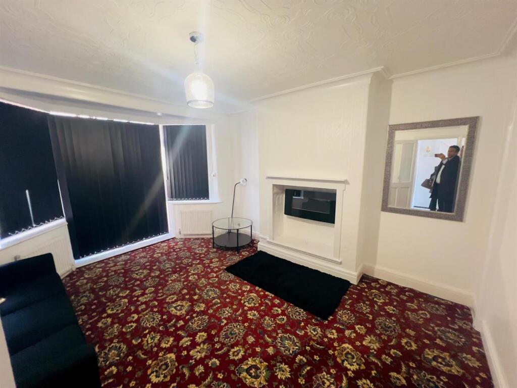
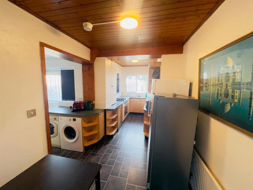
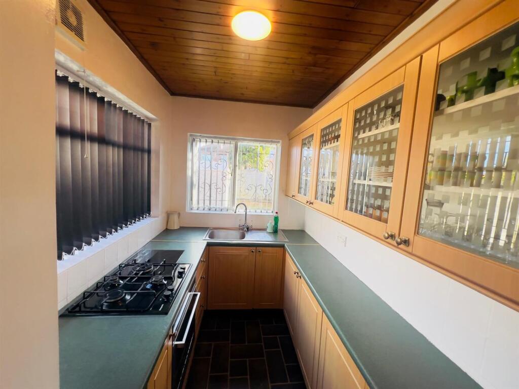
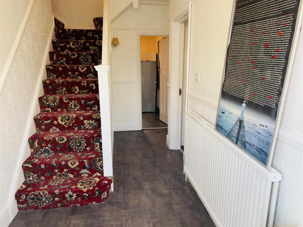
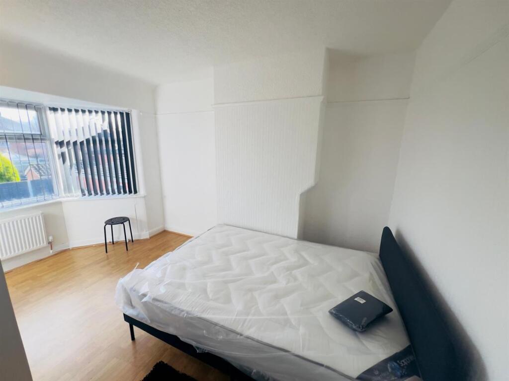
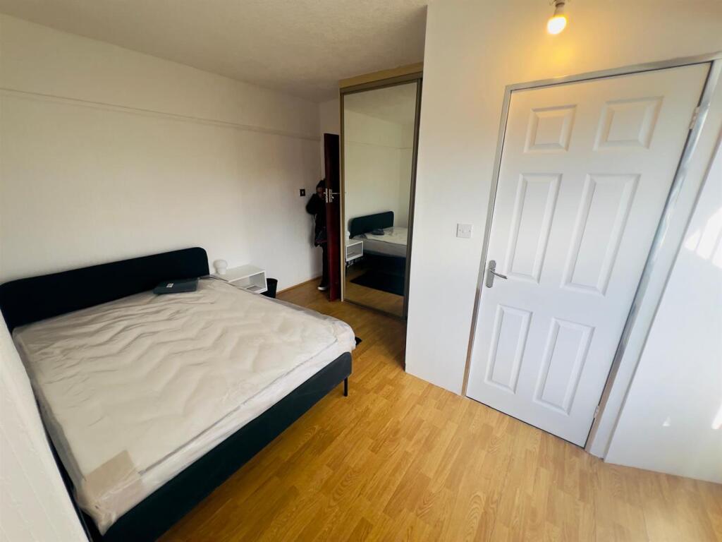
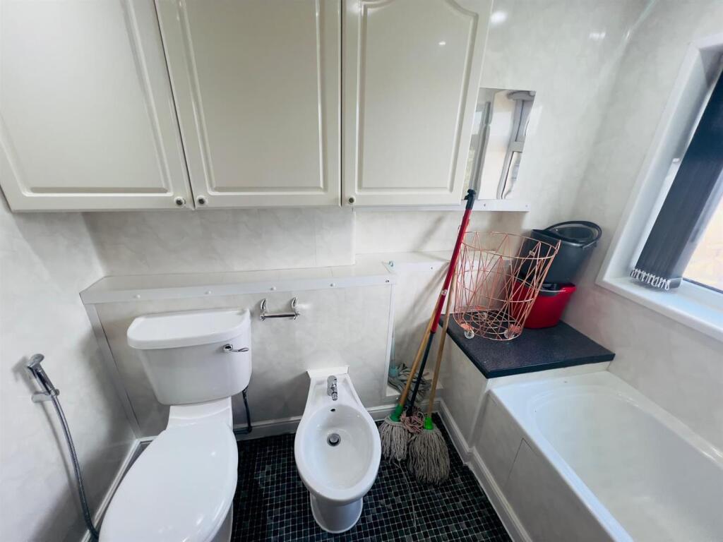
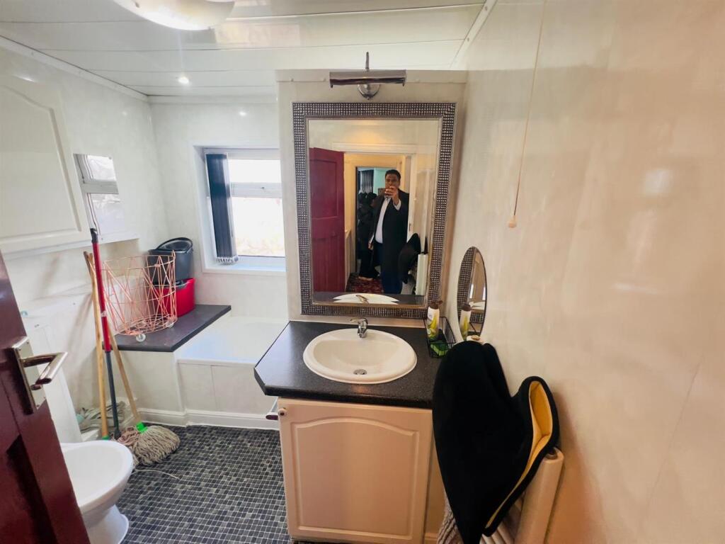
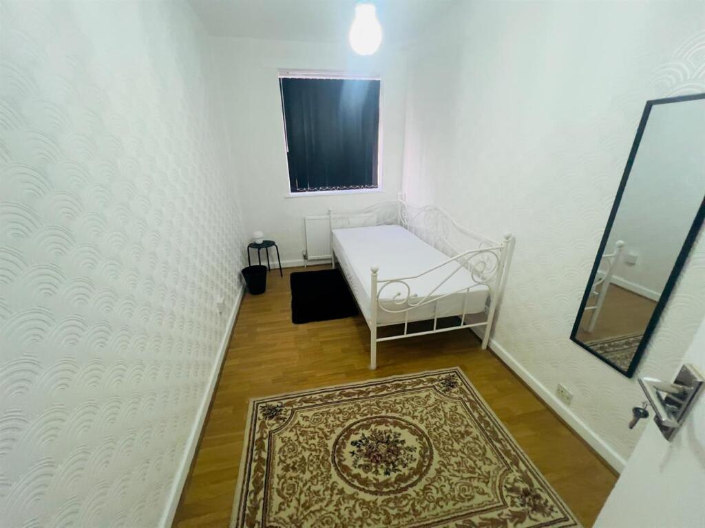
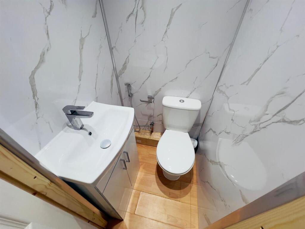
Images


Nearby Streets
| Name | Average Price | Average Sqft | Distance |
|---|---|---|---|
| Kenwood Avenue | £ 370,000 | 0 | 0.00 KM |
| Harwood Road | £ 242,500 | 0 | 0.00 KM |
| Fair Oak Road | £ 350,000 | 0 | 0.00 KM |
| Kingswood Road | £ 0 | 0 | 0.00 KM |
| Errwood Road Cycleway | £ 295,000 | 0 | 0.00 KM |
Nearby Transport
| Name | NLC | TLC | Distance |
|---|---|---|---|
| Mauldeth Road | 2867 | MAU | 0.58 KM |
| Burnage | 2945 | BNA | 1.75 KM |
| Levenshulme | 2862 | LVM | 1.86 KM |
| Heaton Chapel | 2861 | HTC | 2.86 KM |
| East Didsbury | 2949 | EDY | 3.19 KM |
Nearby Listings
| Address | Price | Type | Score | Distance |
|---|---|---|---|---|
| St. Margarets Avenue, Burnage, Manchester, M19 | £ 1,200 | RENT | Unknown | 0.20 KM |
| Burnage Lane, Manchester, M19 | £ 1,150 | RENT | Unknown | 0.41 KM |
| Burnage Lane, Manchester, M19 | £ 1,000 | RENT | Unknown | 0.41 KM |
| Burnage lane, Burnage, Manchester. M19 1FE | £ 1,800 | RENT | Unknown | 0.44 KM |
| Burnage Lane, Manchester, M19 | £ 1,450 | RENT | Unknown | 0.46 KM |
Nearby Properties
| Address | Price | Distance |
|---|---|---|
| 20 Bournelea Avenue | £ 180,000 | 0.06 KM |
| 8 Bournelea Avenue | £ 188,000 | 0.06 KM |
| 26 Bournelea Avenue | £ 175,000 | 0.06 KM |
| 28 Bournelea Avenue | £ 240,000 | 0.06 KM |
| 22 Bournelea Avenue | £ 165,000 | 0.06 KM |