SI
Broadhurst Drive, Kennington, TN24
By Simpson & Hall
£ 425,000
Simpson & Hall says ..
Locations for family homes in Ashford don't get much better than this.
- Bedrooms
- 4
- Bathrooms
- 2
The heatmap indicates the level of crime in the area. The color of the heatmap indicates the crime severity and recency.
Metrics Year-on-Year
- Average area value
- 257,097.00 £Decreased by 8.25 %
- Average area rental value
- 956.00 £/moIncreased by 1.92 %
- Est rental Yield
- 4.46 %Increased by 10.95 %
- Crime Rate
- 1.00 %Unchanged by 0.00 %
from 280,201.00 £
from 938.00 £/mo
from 4.02 %
from 1.00 %
Agent Activity
Simpson & Hall created the listing.
Nearby Schools
| Name | Type | Ofsted | Distance |
|---|---|---|---|
| Towers School And Sixth Form Centre | Academy Converter | Good | 0.43 KM |
| Kennington Church Of England Academy | Academy Sponsor Led | Good | 0.56 KM |
| Sure Steps Children'S Centre | Children's Centre | 0.68 KM | |
| Phoenix Community Primary School | Foundation School | Good | 0.68 KM |
| Downs View Infant School | Community School | Outstanding | 0.71 KM |
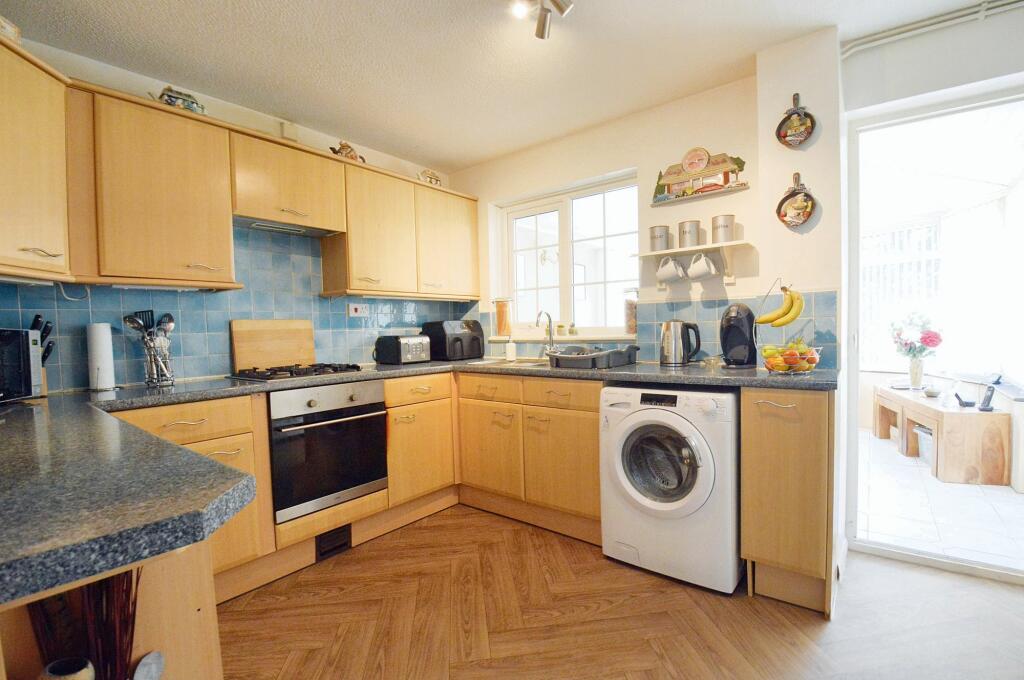
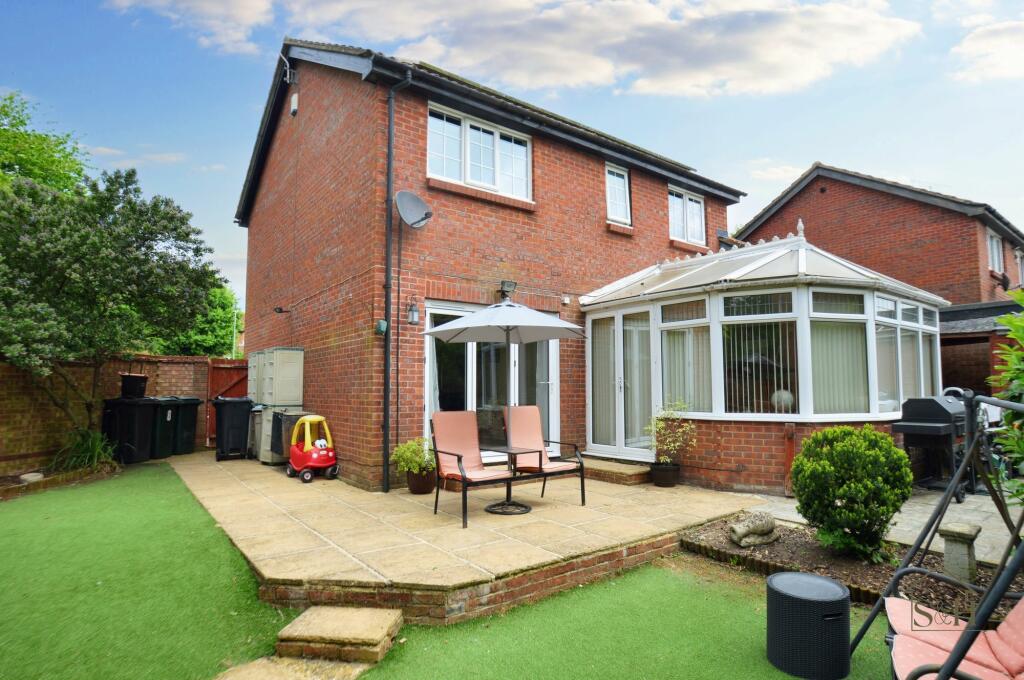
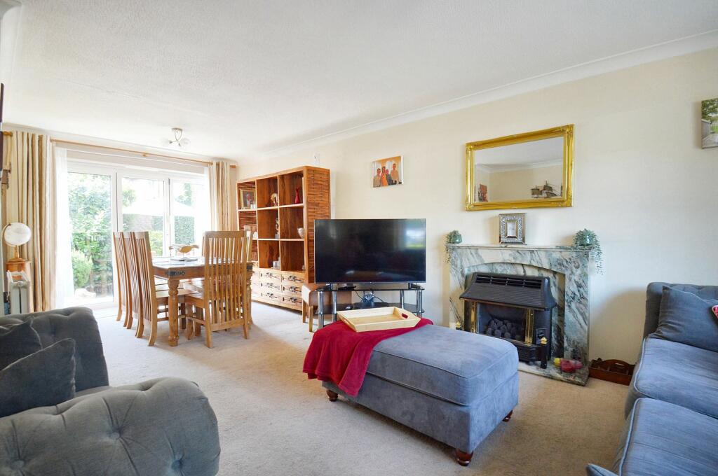
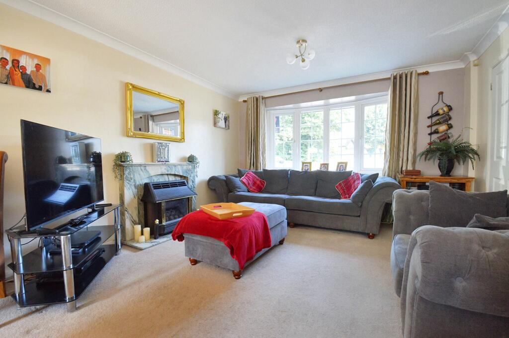
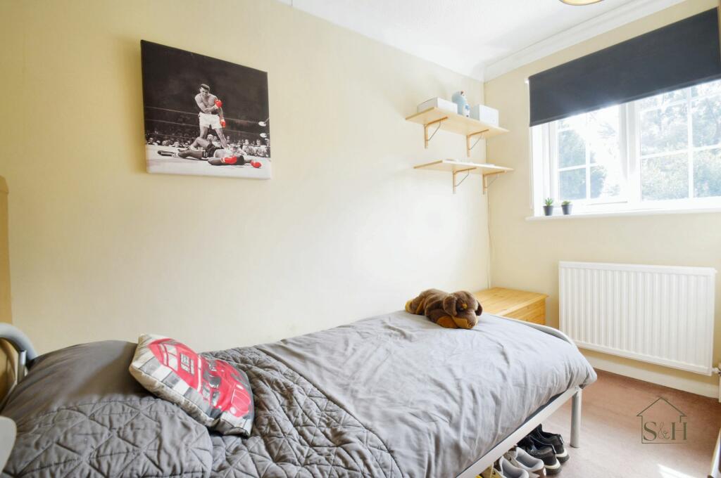
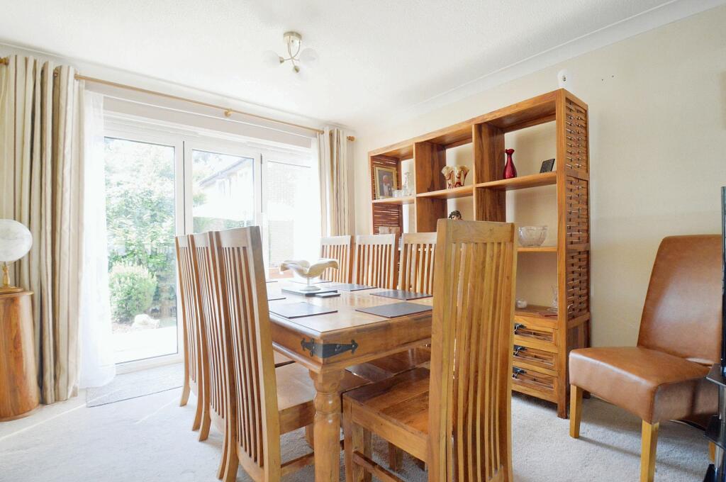
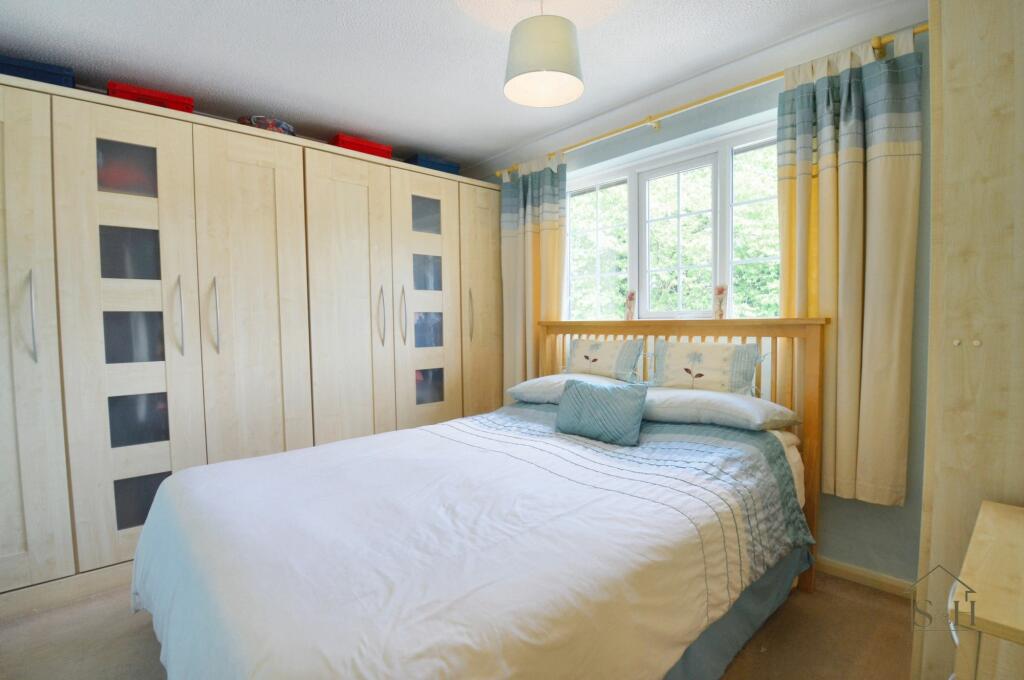
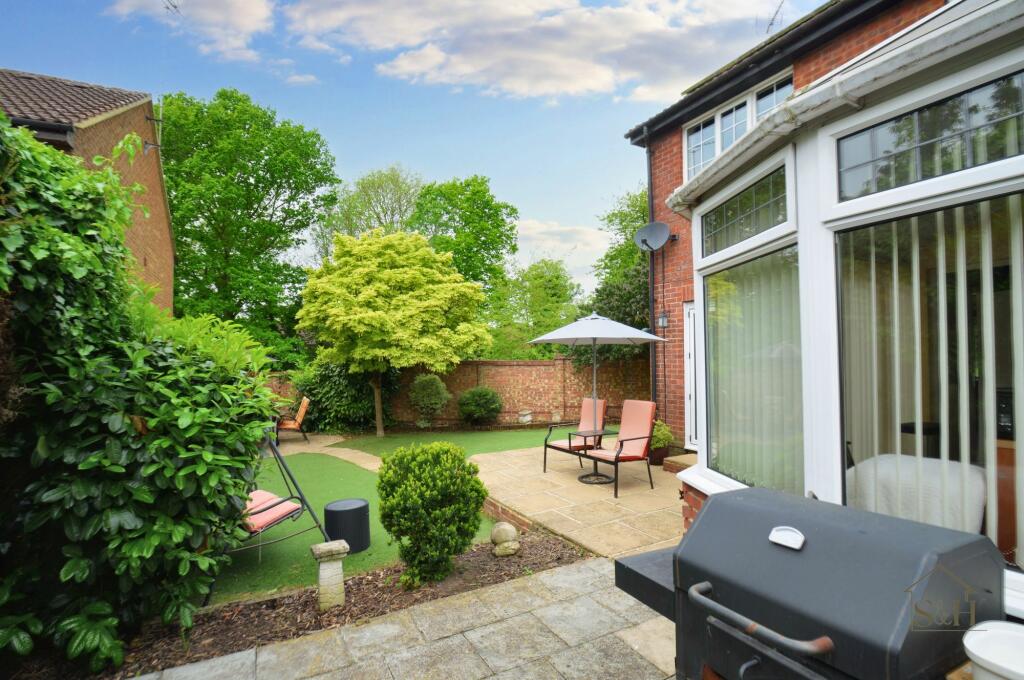
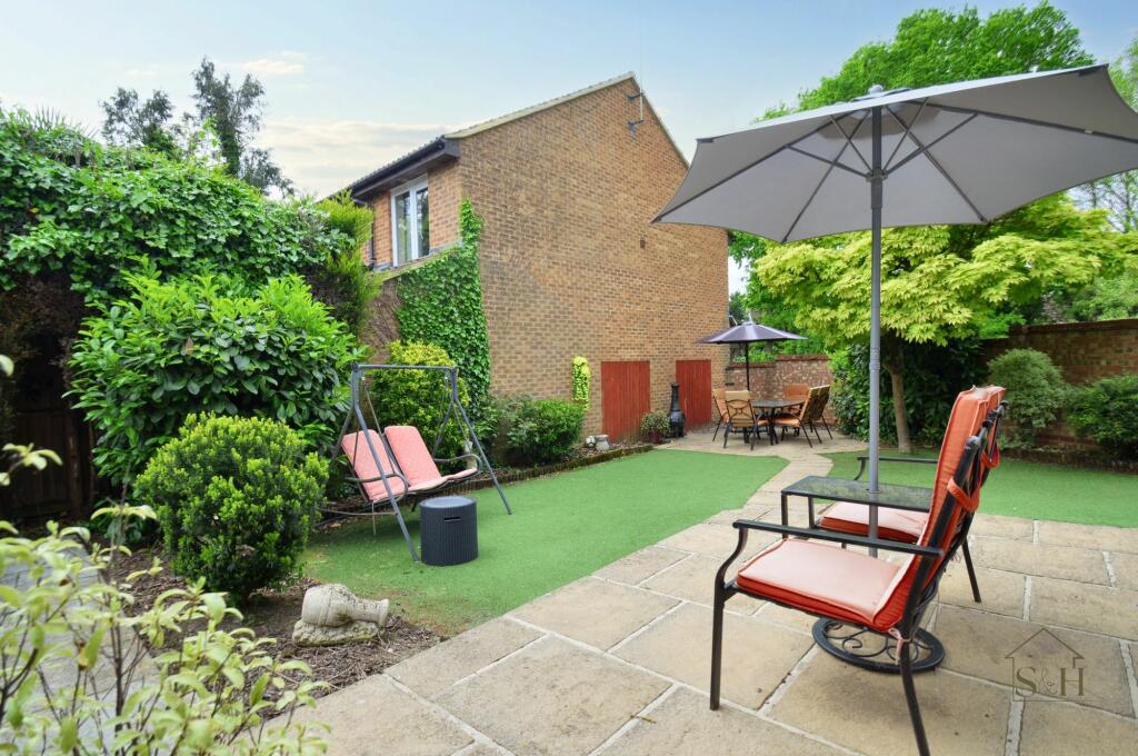
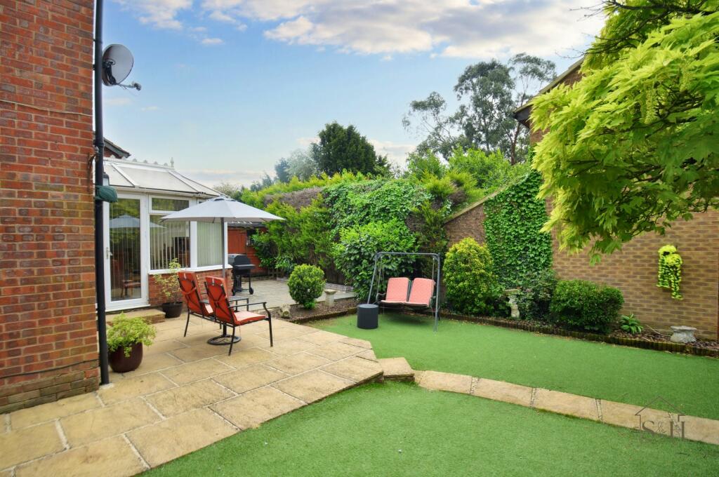
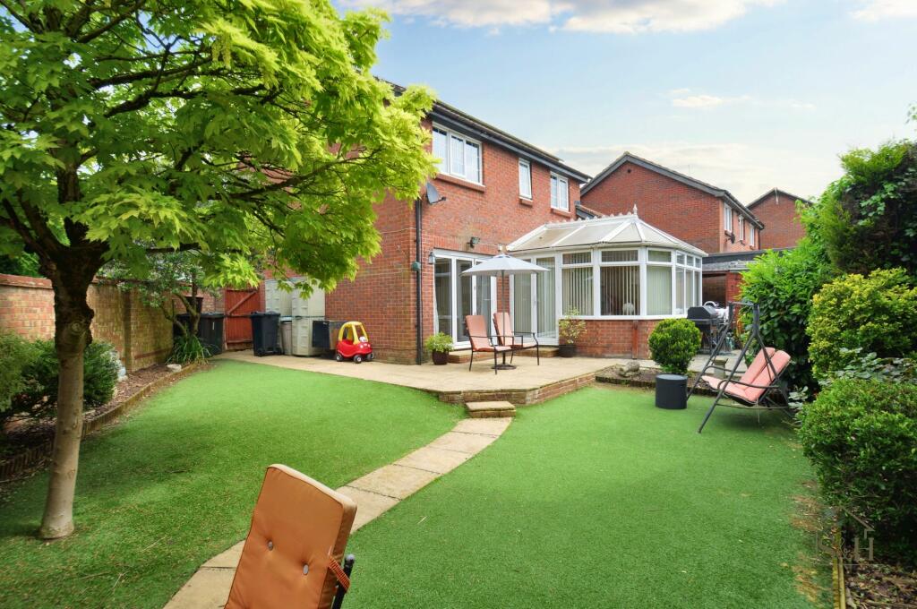
Images


Nearby Streets
| Name | Average Price | Average Sqft | Distance |
|---|---|---|---|
| Grosvenor Road | £ 297,500 | 0 | 0.00 KM |
| Walnut Close | £ 300,000 | 0 | 0.00 KM |
| Rookery Close | £ 325,000 | 0 | 0.00 KM |
| Park Road | £ 525,000 | 0 | 0.00 KM |
| Underwood Close | £ 0 | 0 | 0.00 KM |
Nearby Transport
| Name | NLC | TLC | Distance |
|---|---|---|---|
| Ashford International | 5004 | AFK | 3.07 KM |
| Wye | 5031 | WYE | 5.33 KM |
Nearby Listings
| Address | Price | Type | Score | Distance |
|---|---|---|---|---|
| Broadhurst Drive, Ashford | £ 400,000 | BUY | 5 / 10 | 0.08 KM |
| Broadhurst Drive, Kennington, TN24 | £ 365,000 | BUY | 7 / 10 | 0.10 KM |
| Broadhurst Drive, Kennington, Ashford, Kent | £ 400,000 | BUY | 7 / 10 | 0.11 KM |
| Lower Vicarage Road, Kennington, Ashford, TN24 | £ 475,000 | BUY | 7 / 10 | 0.12 KM |
| Broadhurst Drive, Kennington, TN24 | £ 400,000 | BUY | 6 / 10 | 0.14 KM |
Nearby Properties
| Address | Price | Distance |
|---|---|---|
| 3 Broadhurst Drive | £ 217,500 | 0.08 KM |
| 22 Broadhurst Drive | £ 220,000 | 0.08 KM |
| 28 Broadhurst Drive | £ 186,000 | 0.08 KM |
| 36 Broadhurst Drive | £ 109,500 | 0.08 KM |
| 35 Broadhurst Drive | £ 255,000 | 0.08 KM |