TW
Forncett St Mary and Tharston
By TW Gaze
£ 200,000
TW Gaze says ..
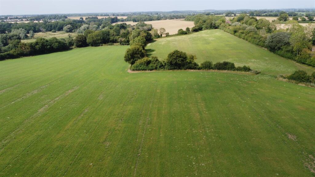
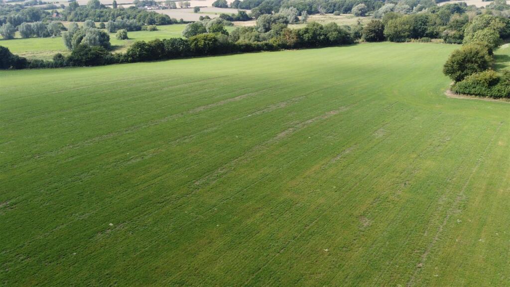
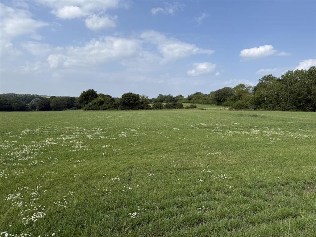
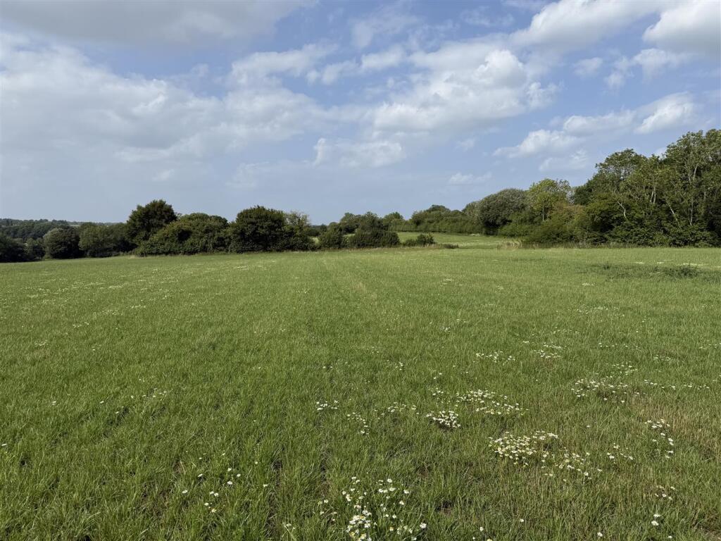
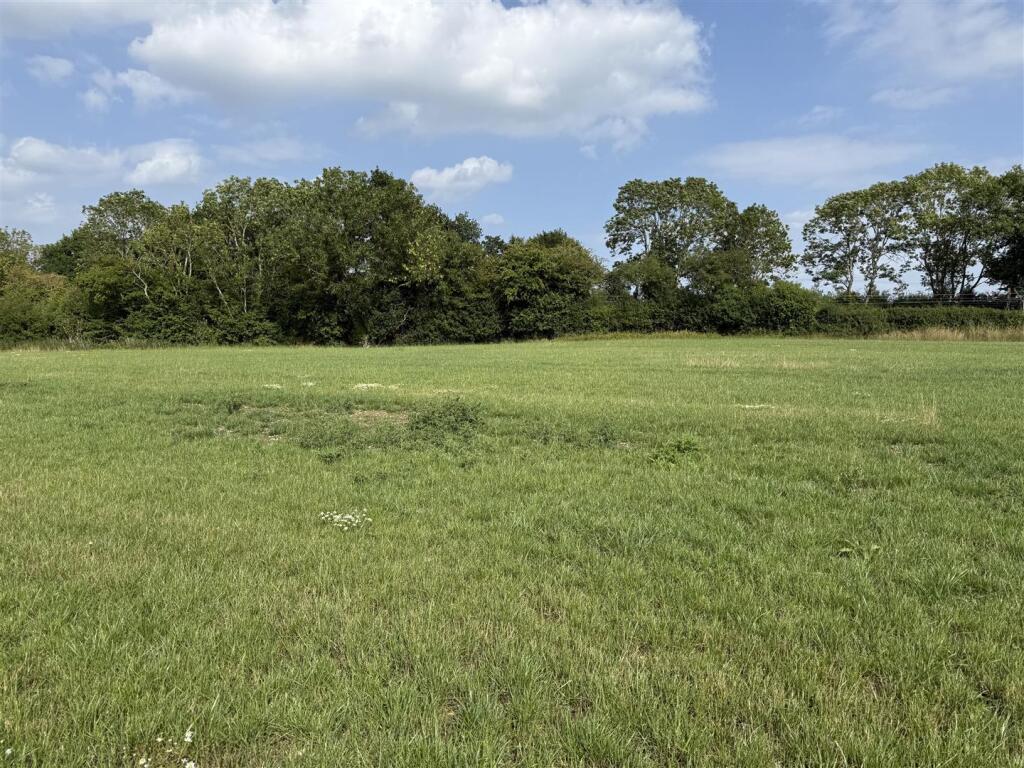
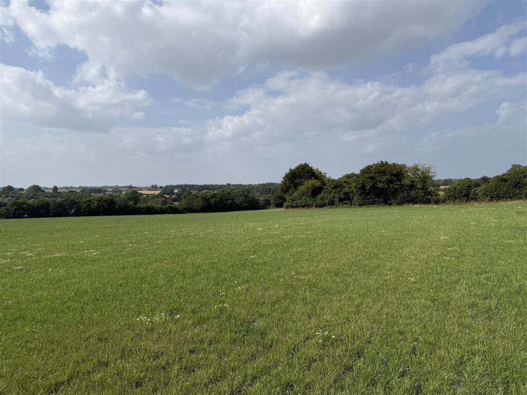
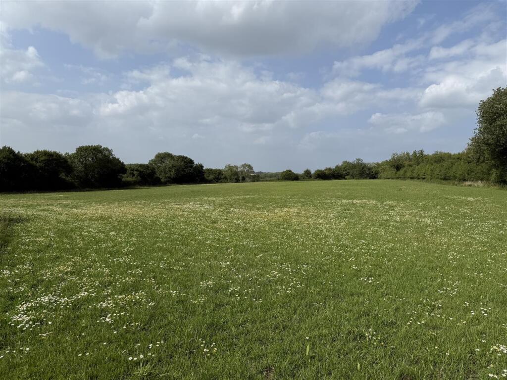
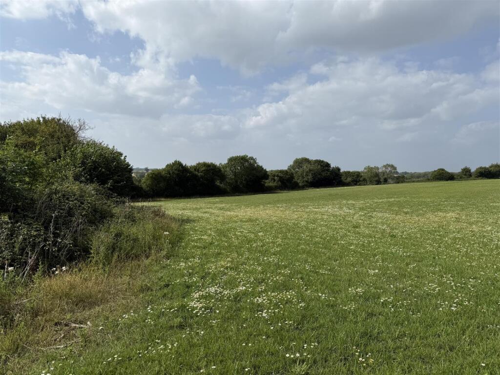
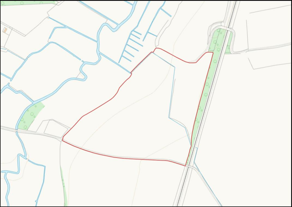
Two enclosures of connected arable land currently down as grass extending to 9.18 Ha (22.68 Acres). With access from Wood Lane and over the railway bridge. The land is classified by MAFF as Grade 3 and described by the Soil Series as being Beccles 1, a sandy clay loam suitable...
- Bedrooms
- 0
- Bathrooms
- 0
The heatmap indicates the level of crime in the area. The color of the heatmap indicates the crime severity and recency.
Metrics Year-on-Year
- Average area value
- 262,833.00 £Decreased by 38.15 %
- Average area rental value
- 1,350.00 £/moIncreased by 3.85 %
- Est rental Yield
- 6.16 %Increased by 67.85 %
- Crime Rate
- 0.00 %
from 424,924.00 £
from 1,300.00 £/mo
from 3.67 %
from 0.00 %
Agent Activity
TW Gaze created the listing.
Nearby Schools
| Name | Type | Ofsted | Distance |
|---|---|---|---|
| Hapton Church Of England Voluntary Aided Primary School | Voluntary Aided School | Good | 2.16 KM |
| St Mary'S Church Of England Junior Academy | Academy Converter | Good | 2.45 KM |
| Long Stratton High School | Academy Sponsor Led | Good | 2.58 KM |
| Long Stratton Area Children'S Centre | Children's Centre | 2.71 KM | |
| Manor Field Infant And Nursery School | Academy Converter | Good | 2.72 KM |
Images
Nearby Streets
| Name | Average Price | Average Sqft | Distance |
|---|---|---|---|
| Hunts Mead | £ 675,000 | 0 | 0.00 KM |
Nearby Listings
| Address | Price | Type | Score | Distance |
|---|---|---|---|---|
| Forncett St Mary and Tharston | £ 200,000 | BUY | Unknown | 0.00 KM |
| The Street, Tharston, Norfolk | £ 925,000 | BUY | 7 / 10 | 0.47 KM |
| Highfields, Tharston | £ 290,000 | BUY | 7 / 10 | 0.99 KM |
| Hall Lane, Tharston | £ 475,000 | BUY | 7 / 10 | 1.45 KM |
| Hall Lane, Tharston | £ 332,000 | BUY | 7 / 10 | 1.52 KM |
Nearby Properties
| Address | Price | Distance |
|---|---|---|
| Stillwaters | £ 320,000 | 0.51 KM |
| Mistle House | £ 382,500 | 0.51 KM |
| Rowantree | £ 475,000 | 0.51 KM |
| York House | £ 425,000 | 0.51 KM |
| Broom Hill | £ 275,000 | 0.51 KM |