
MA
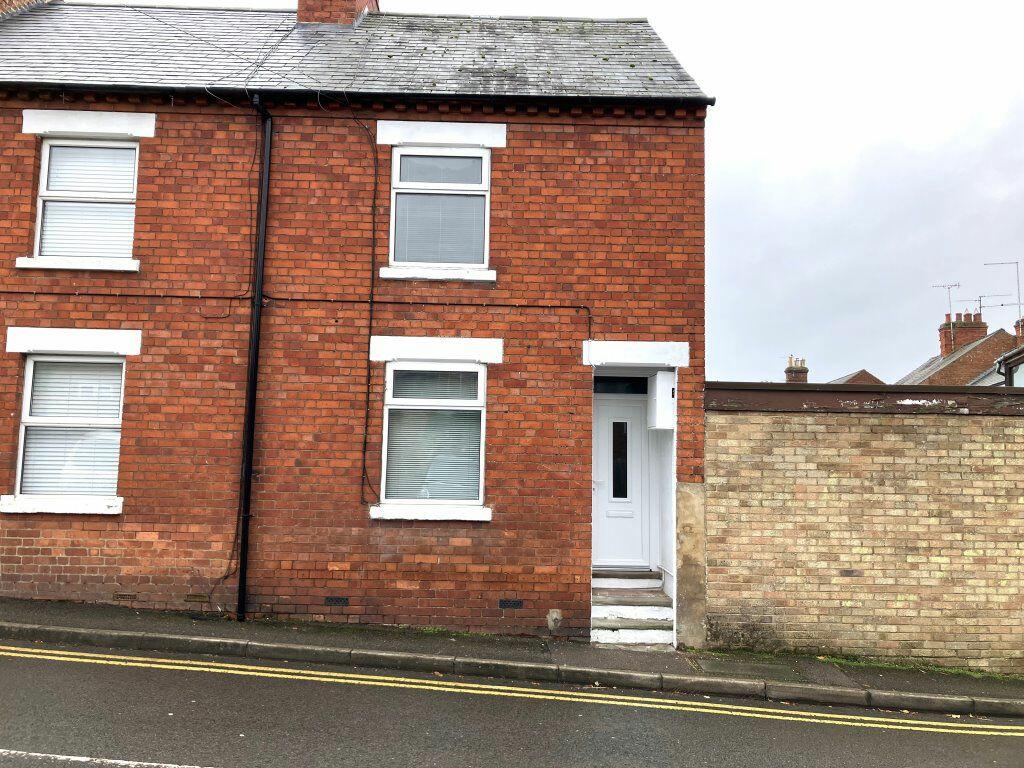
ST MICHAEL`S LANE, WOLLASTON
By Martin Pendered & Co
£ 895
Martin Pendered & Co says ..
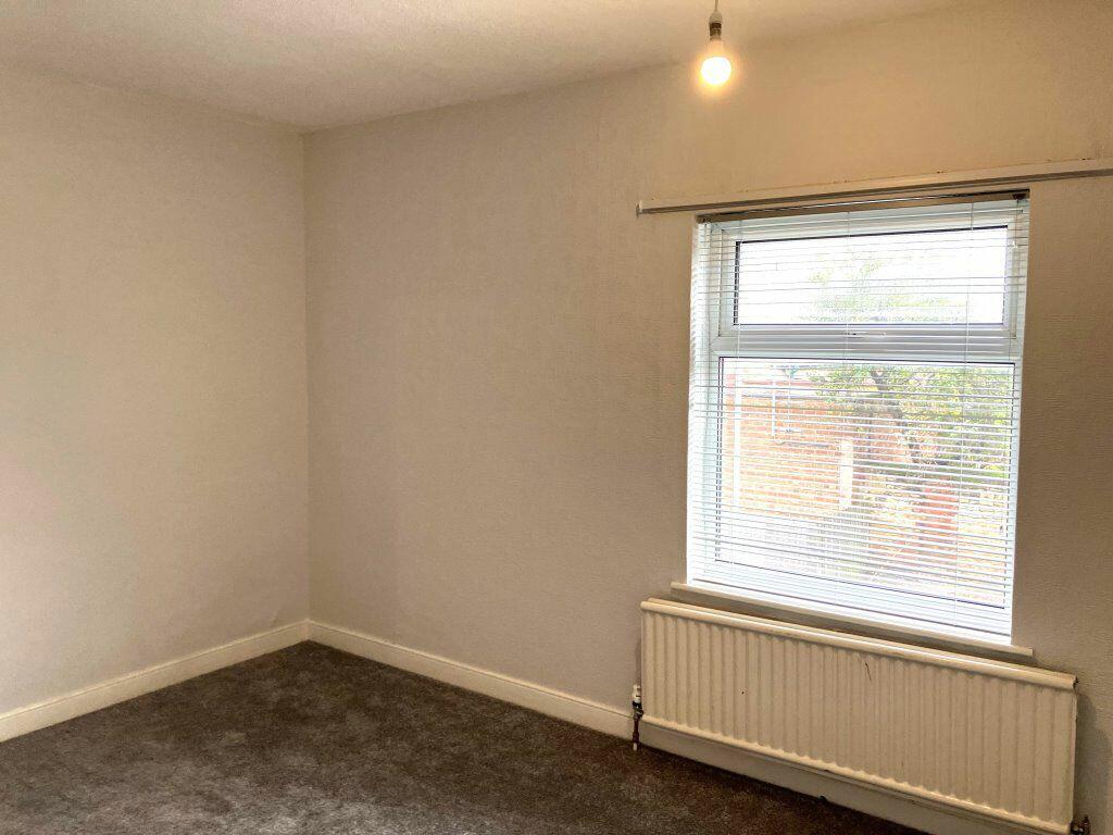
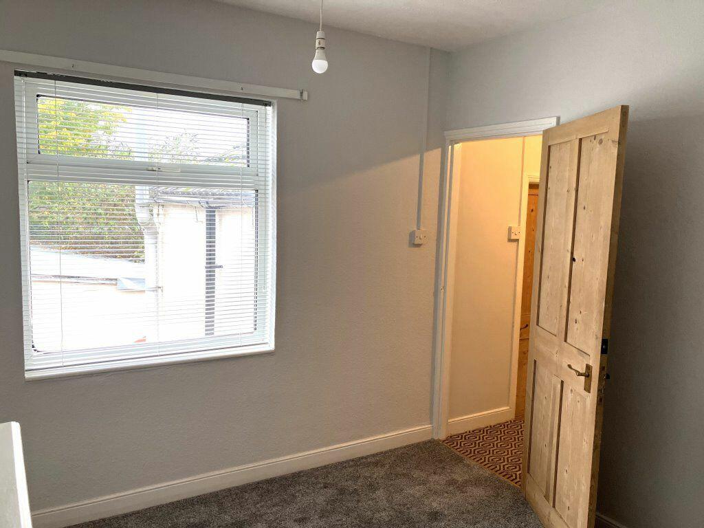
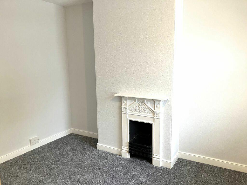
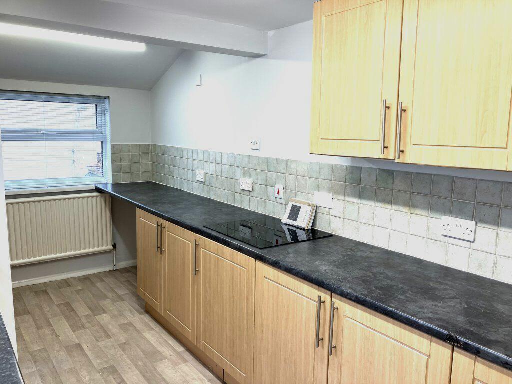
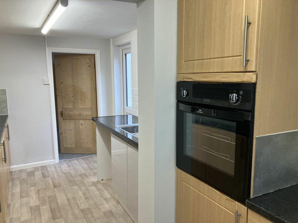
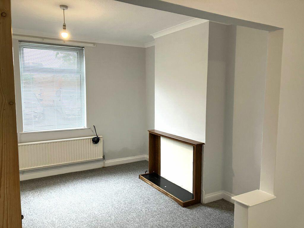
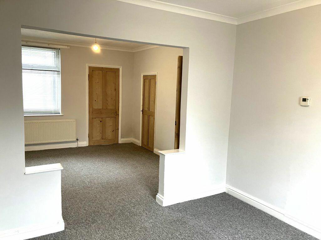
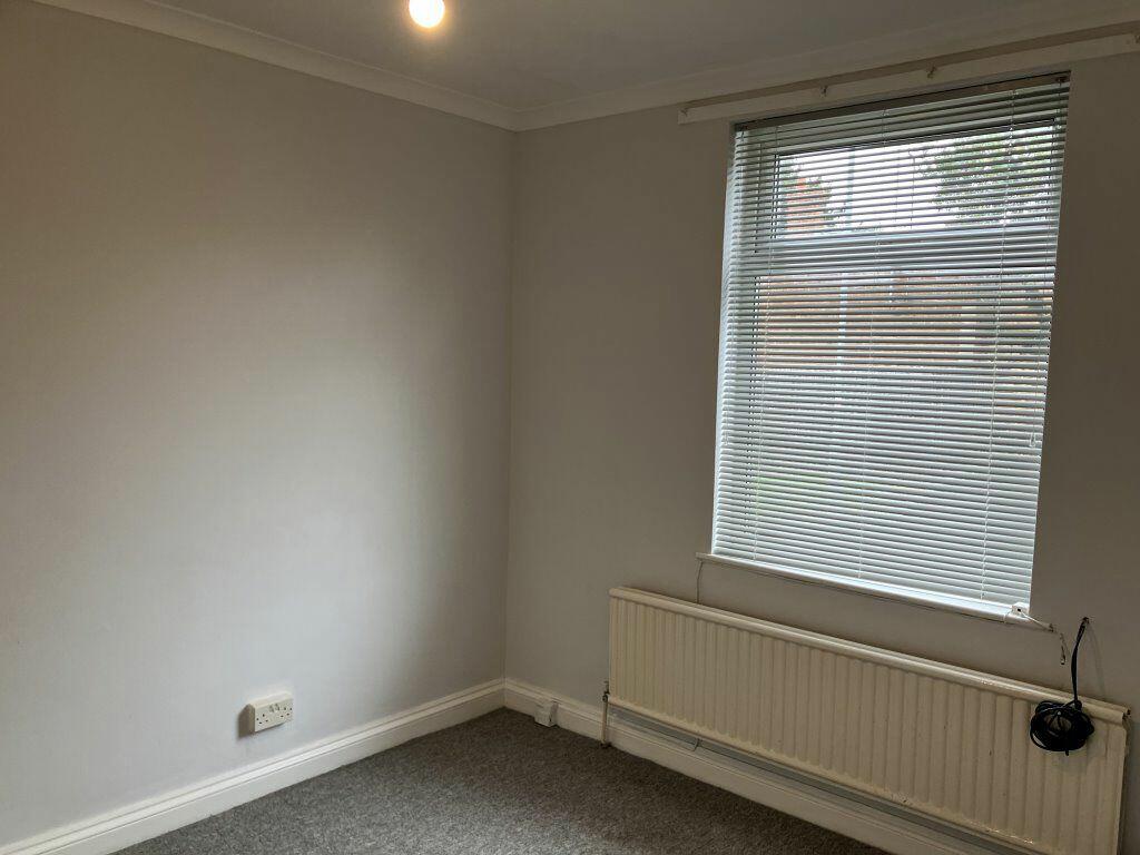
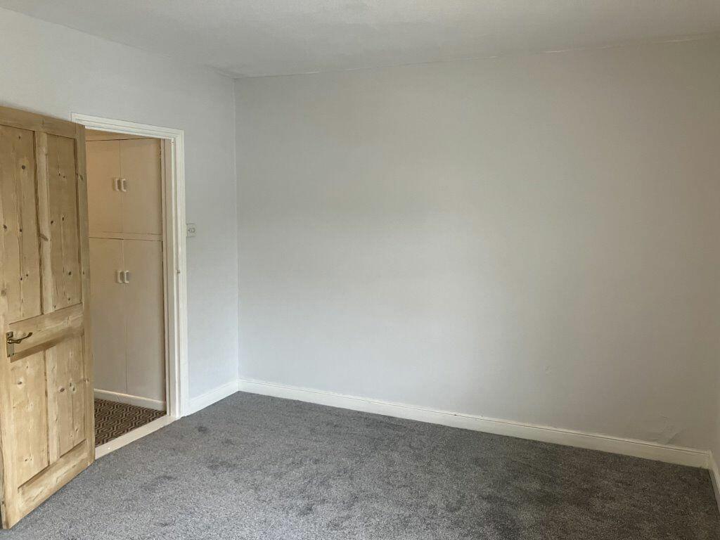
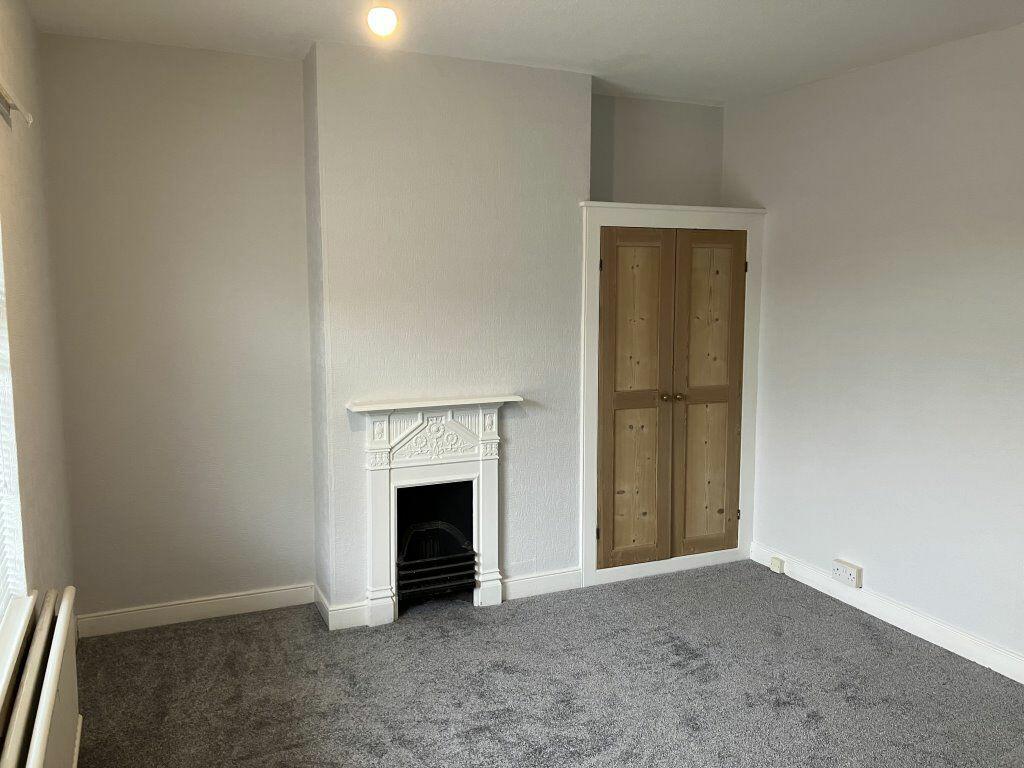
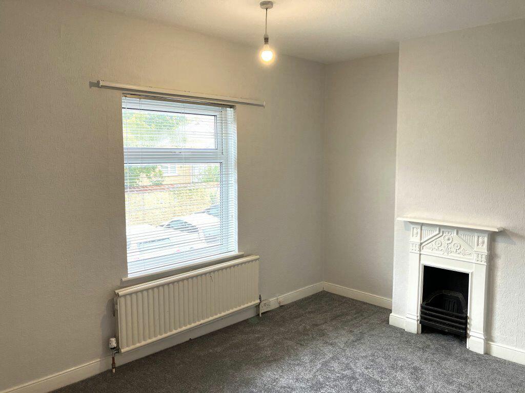
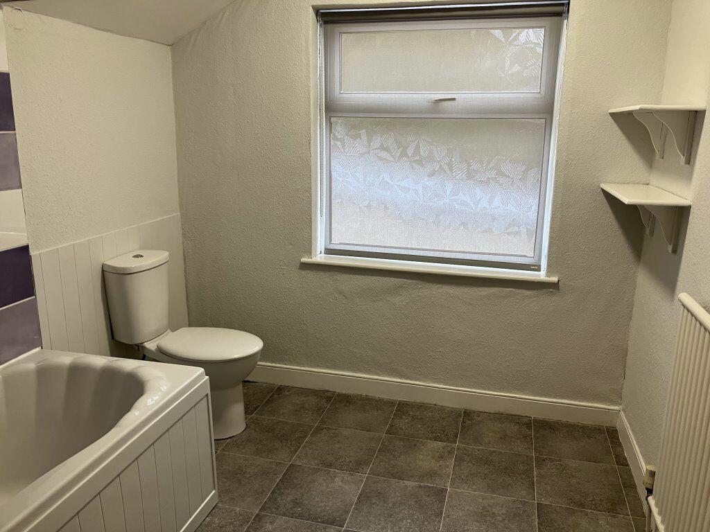
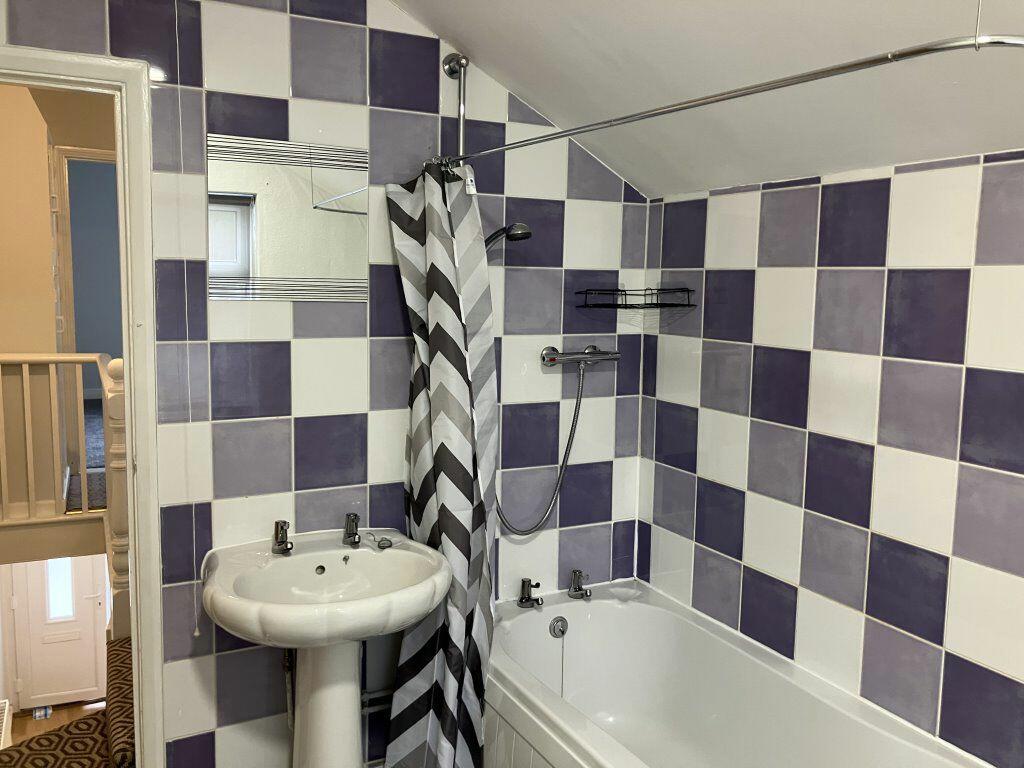
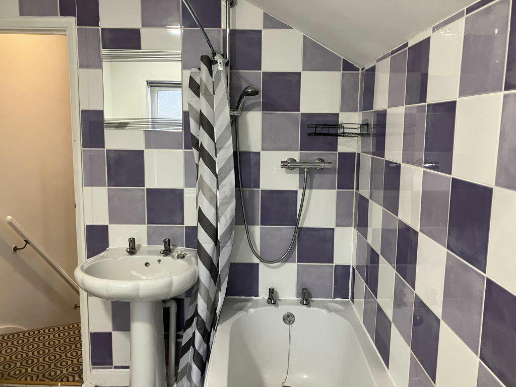
A Two Double Bedroom End Of Terrace House Situated Within Wollaston Village. The property has been recently redecorated throughout. The accommodation comprises entrance hall, sitting room, dining area, kitchen. To the first floor Are two double bedrooms which have been newly carpeted and a famil...
- Bedrooms
- 2
- Bathrooms
- 1
The heatmap indicates the level of crime in the area. The color of the heatmap indicates the crime severity and recency.
Metrics Year-on-Year
- Average area value
- 283,000.00 £Decreased by 22.40 %
- Average area rental value
- 1,045.00 £/moDecreased by 0.38 %
- Est rental Yield
- 4.43 %Increased by 28.41 %
- Crime Rate
- 110.00 %Unchanged by 0.00 %
from 364,685.00 £
from 1,049.00 £/mo
from 3.45 %
from 110.00 %
Agent Activity
Martin Pendered & Co created the listing.
Nearby Schools
| Name | Type | Ofsted | Distance |
|---|---|---|---|
| Wollaston Primary School | Academy Converter | Requires improvement | 0.18 KM |
| Wollaston School | Academy Converter | 1.15 KM | |
| Bozeat Community Primary School | Academy Converter | 3.57 KM | |
| Irchester Community Primary School | Academy Converter | 4.21 KM | |
| Hinwick Hall College | Miscellaneous | 4.48 KM |
Images


Nearby Streets
| Name | Average Price | Average Sqft | Distance |
|---|---|---|---|
| Rotten Row | £ 0 | 0 | 0.00 KM |
| College Street | £ 220,000 | 0 | 0.00 KM |
| The Grove | £ 0 | 0 | 0.00 KM |
| South Street | £ 0 | 0 | 0.00 KM |
| Church View | £ 0 | 0 | 0.00 KM |
Nearby Transport
| Name | NLC | TLC | Distance |
|---|---|---|---|
| Wellingborough | 1940 | WEL | 5.42 KM |
Nearby Listings
| Address | Price | Type | Score | Distance |
|---|---|---|---|---|
| High Street, Wollaston | £ 1,995 | RENT | Unknown | 0.07 KM |
| High Street, Wollaston | £ 875 | RENT | Unknown | 0.14 KM |
| London Road, Wollaston | £ 950 | RENT | Unknown | 0.14 KM |
| London Road, Wollaston | £ 1,300 | RENT | Unknown | 0.18 KM |
| Newton Road, Wollaston, Wellingborough | £ 775 | RENT | Unknown | 0.33 KM |
Nearby Properties
| Address | Price | Distance |
|---|---|---|
| 12 St Michaels Lane | £ 174,000 | 0.05 KM |
| 19 St Michaels Lane | £ 129,000 | 0.05 KM |
| 17 St Michaels Lane | £ 127,000 | 0.05 KM |
| 10 St Michaels Lane | £ 125,000 | 0.05 KM |
| 21 St Michaels Lane | £ 33,000 | 0.05 KM |