MA
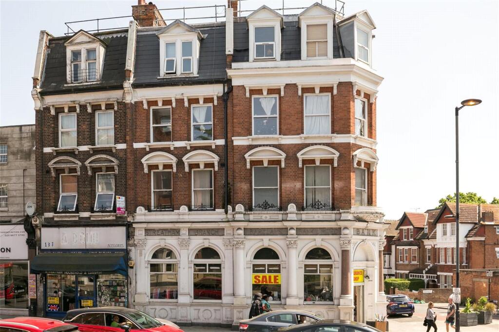
Gleneldon Road, London, SW16
By Marsh & Parsons
£ 1,800
Marsh & Parsons says ..
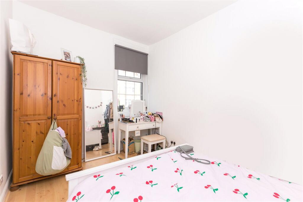
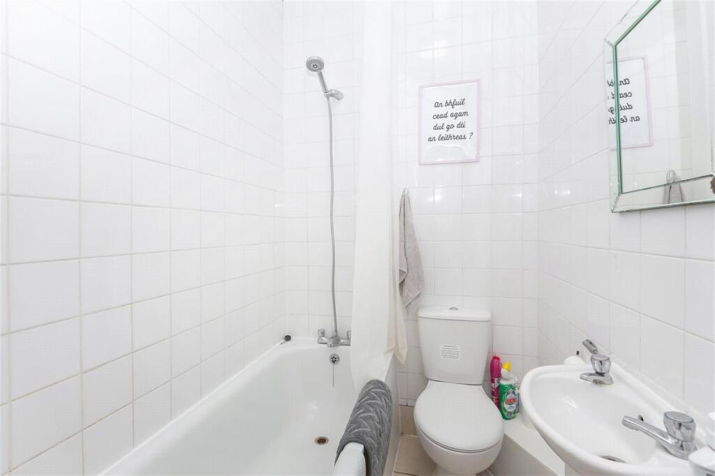
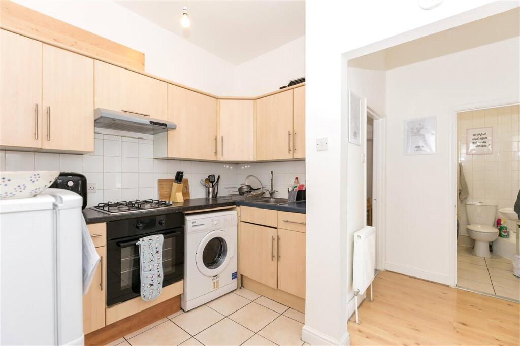
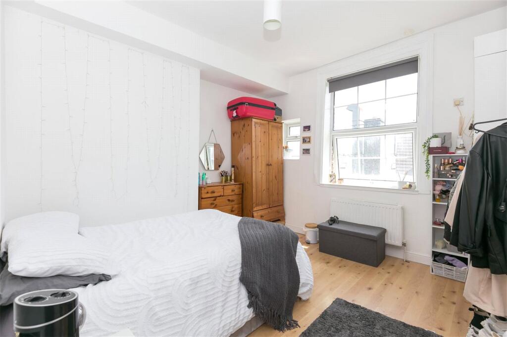
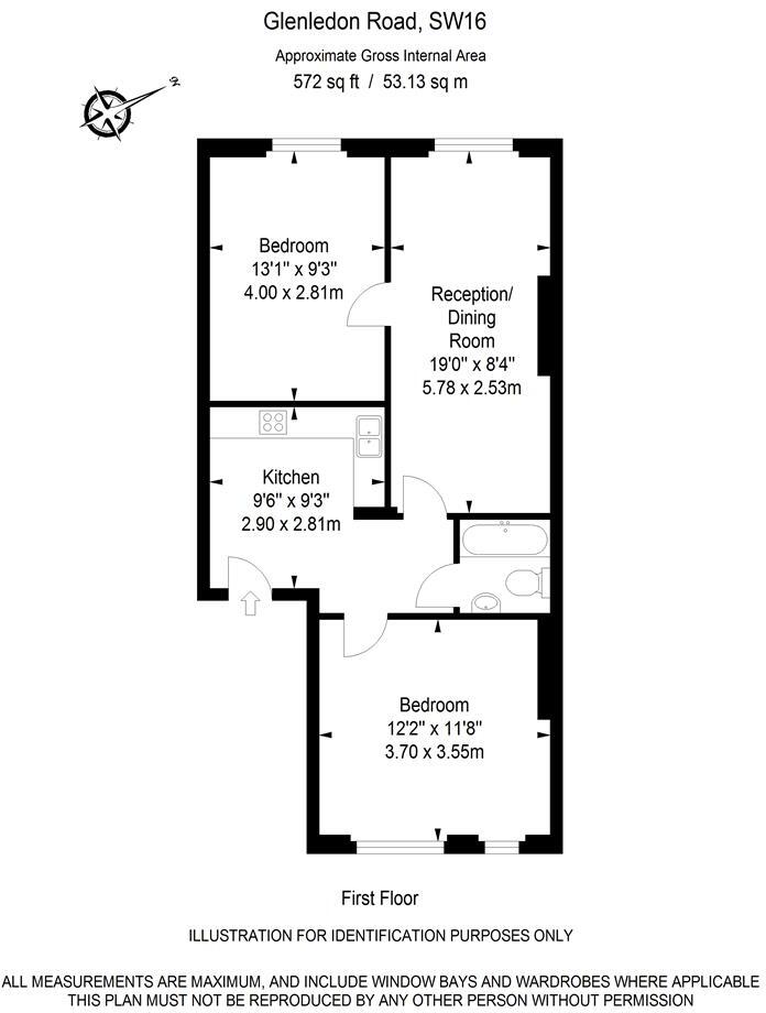
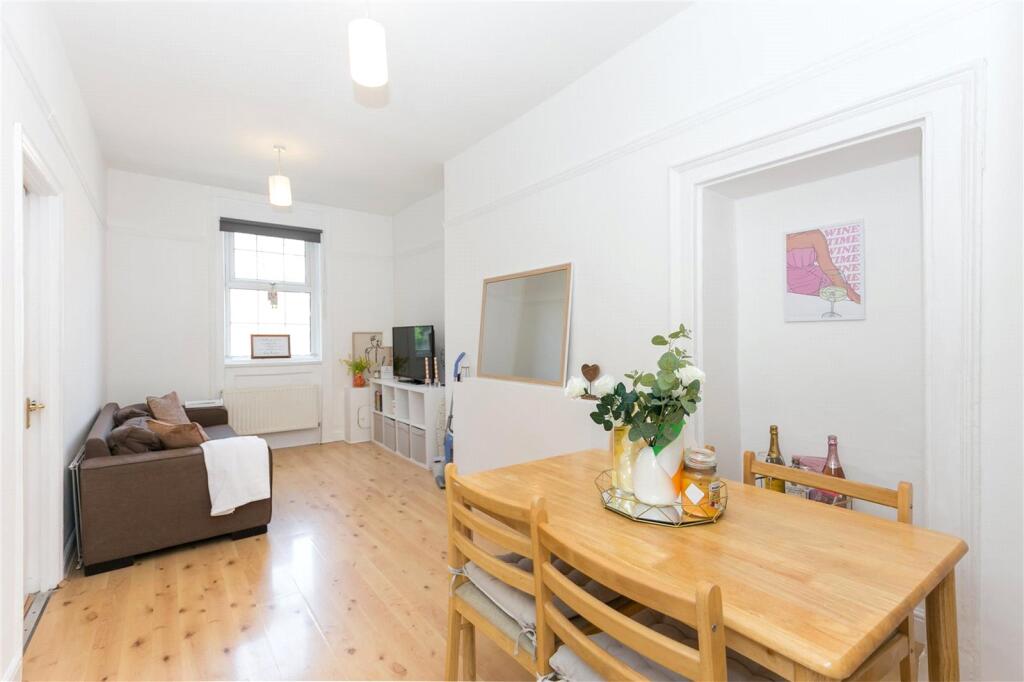
A light and spacious two double bedroom, one bathroom flat.
- Bedrooms
- 2
- Bathrooms
- 1
The heatmap indicates the level of crime in the area. The color of the heatmap indicates the crime severity and recency.
Metrics Year-on-Year
- Average area value
- 487,285.00 £Decreased by 7.65 %
- Average area rental value
- 1,920.00 £/moIncreased by 13.27 %
- Est rental Yield
- 4.73 %Increased by 22.86 %
- Crime Rate
- 21.00 %Unchanged by 0.00 %
from 527,656.00 £
from 1,695.00 £/mo
from 3.85 %
from 21.00 %
Agent Activity
Marsh & Parsons created the listing.
Nearby Schools
| Name | Type | Ofsted | Distance |
|---|---|---|---|
| St Andrew'S Catholic Primary School | Voluntary Aided School | Outstanding | 0.68 KM |
| Streatham Hub Children'S Centre | Children's Centre | 0.69 KM | |
| St Leonard'S Church Of England Primary School | Academy Converter | 0.75 KM | |
| Sunnyhill Primary School And Children'S Centre | Children's Centre | 0.77 KM | |
| Sunnyhill Primary School | Community School | Good | 1.02 KM |
Images
Nearby Streets
| Name | Average Price | Average Sqft | Distance |
|---|---|---|---|
| Sunnyhill Road | £ 325,000 | 0 | 0.00 KM |
| Barrow Road | £ 0 | 0 | 0.00 KM |
| Cherry Tree Drive | £ 0 | 0 | 0.00 KM |
| Tooting Bec Road | £ 400,000 | 0 | 0.00 KM |
| Bedford Hill | £ 1,600,000 | 0 | 0.00 KM |
Nearby Transport
| Name | NLC | TLC | Distance |
|---|---|---|---|
| Streatham | 5383 | STE | 0.47 KM |
| Streatham Hill | 5435 | SRH | 1.01 KM |
| Streatham Common | 5384 | SRC | 1.40 KM |
| Norbury | 5428 | NRB | 2.16 KM |
| West Norwood | 5438 | WNW | 2.83 KM |
Nearby Listings
| Address | Price | Type | Score | Distance |
|---|---|---|---|---|
| Gleneldon Road, Streatham | £ 3,250 | RENT | Unknown | 0.05 KM |
| Gleneldon Road, London, SW16 2AY | £ 2,250 | RENT | Unknown | 0.05 KM |
| Gleneldon Road, London, SW16 2AY | £ 2,550 | RENT | Unknown | 0.05 KM |
| Gleneldon Road, Streatham, SW16 | £ 1,250 | RENT | Unknown | 0.06 KM |
| Gleneldon Road, Streatham, SW16 | £ 1,200 | RENT | Unknown | 0.07 KM |
Nearby Properties
| Address | Price | Distance |
|---|---|---|
| 15a Gleneldon Road | £ 195,000 | 0.01 KM |
| 53d Gleneldon Road | £ 160,000 | 0.01 KM |
| 37 Gleneldon Road | £ 157,500 | 0.01 KM |
| 53c Gleneldon Road | £ 485,000 | 0.01 KM |
| 27 Gleneldon Road | £ 220,000 | 0.01 KM |