BE
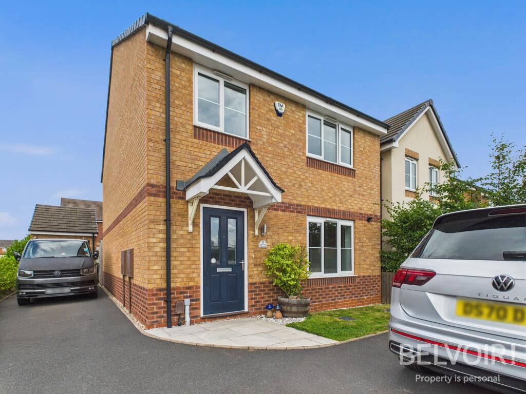
Burbank Burrow, Stafford, ST16
By Belvoir
£ 1,650
Belvoir says ..
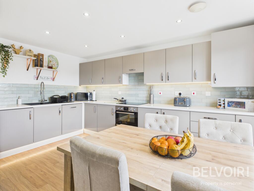
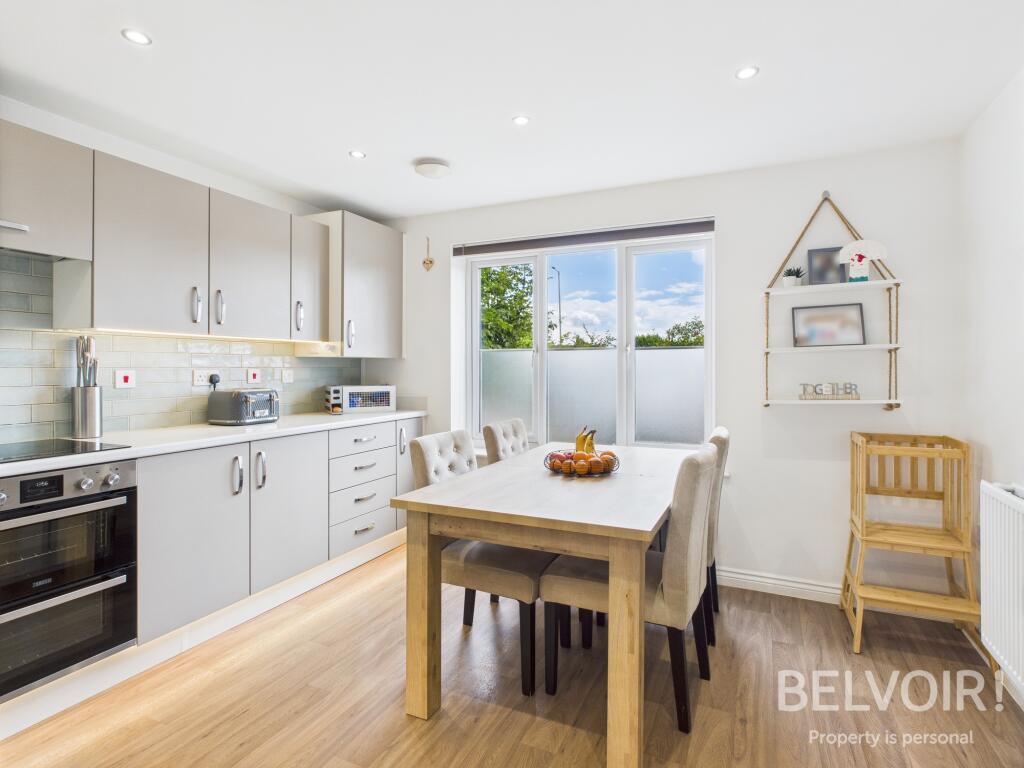
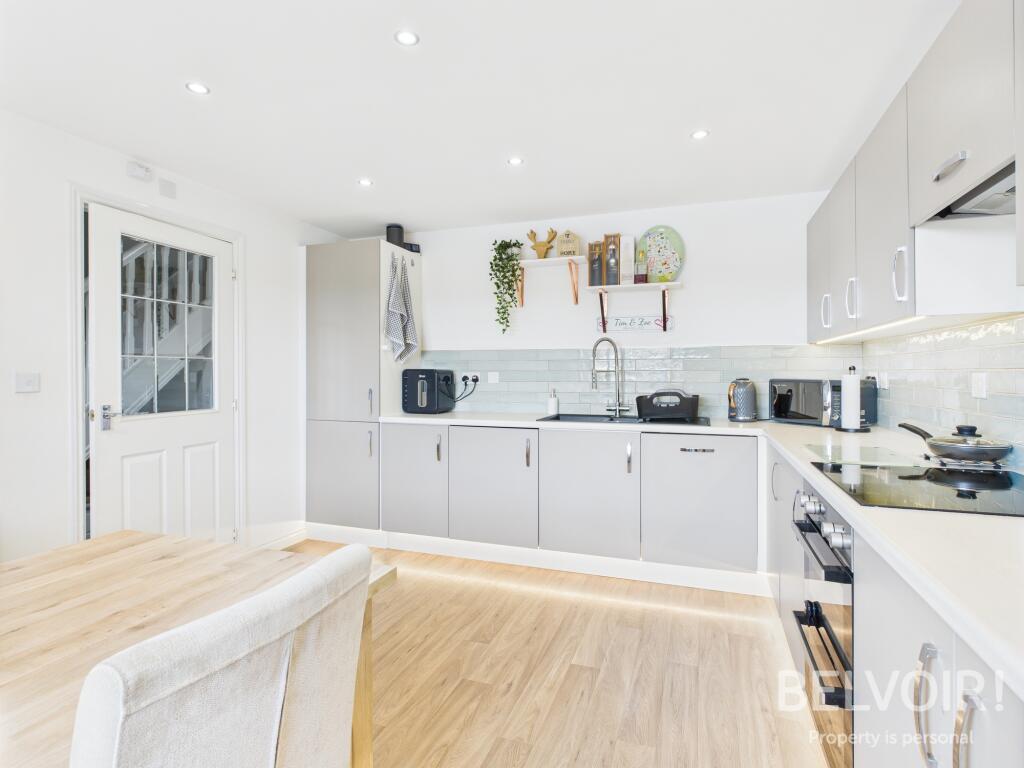
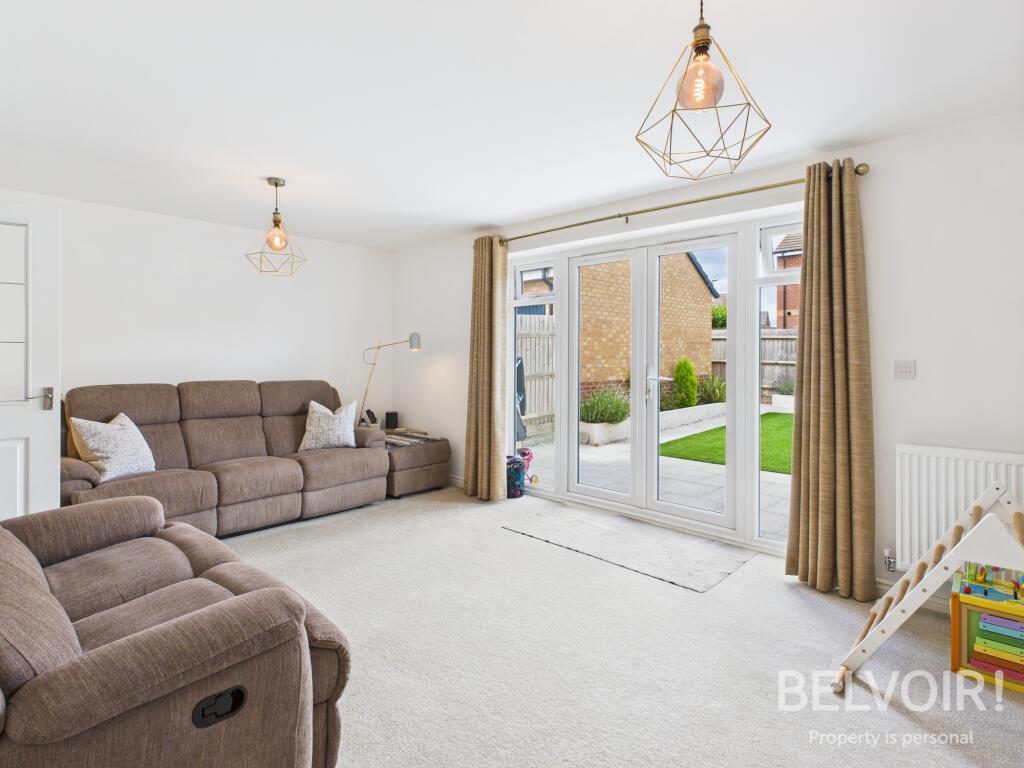
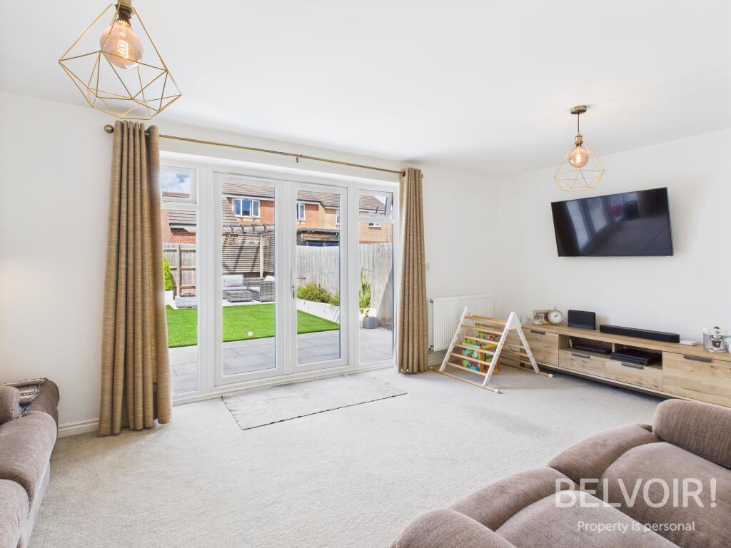
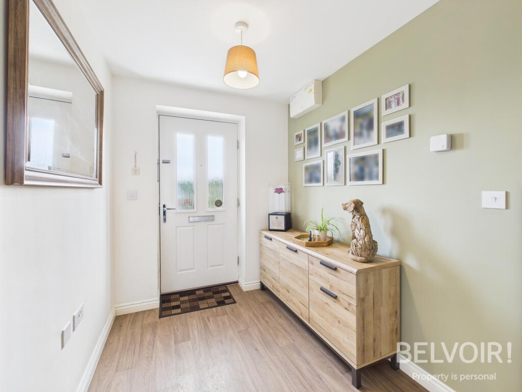
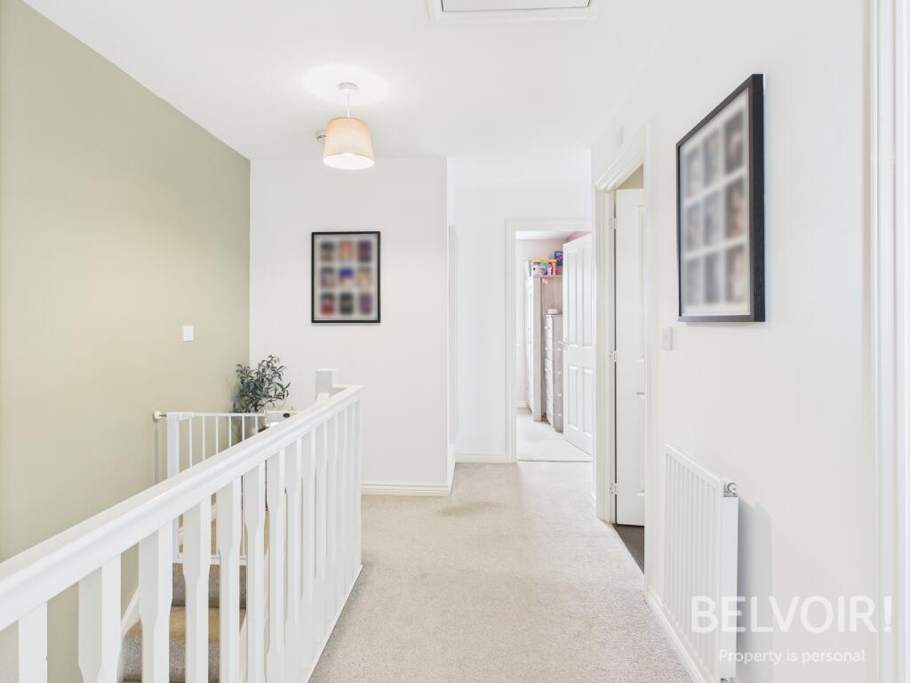
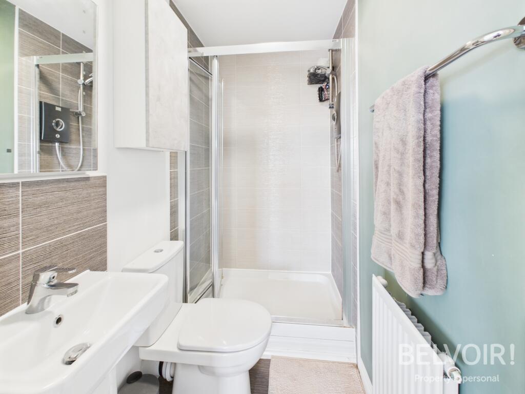
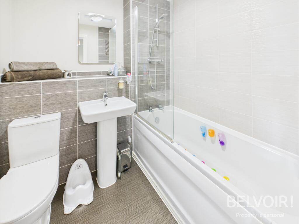
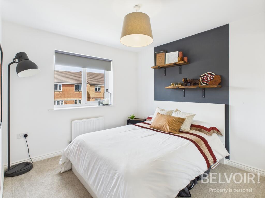
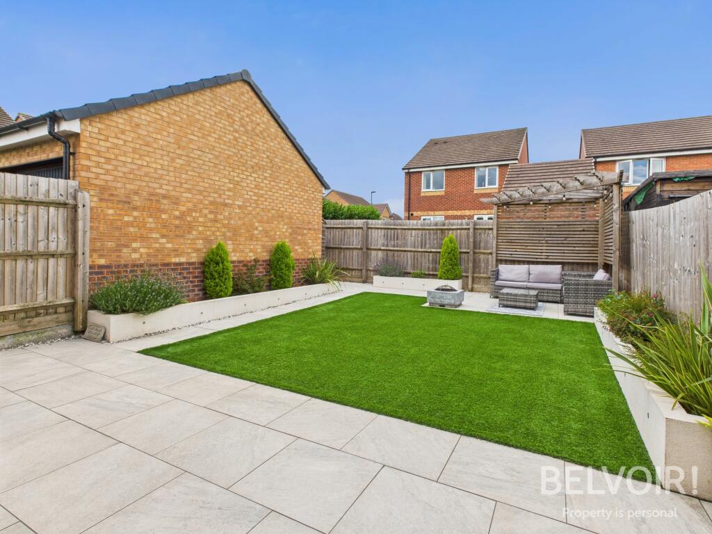
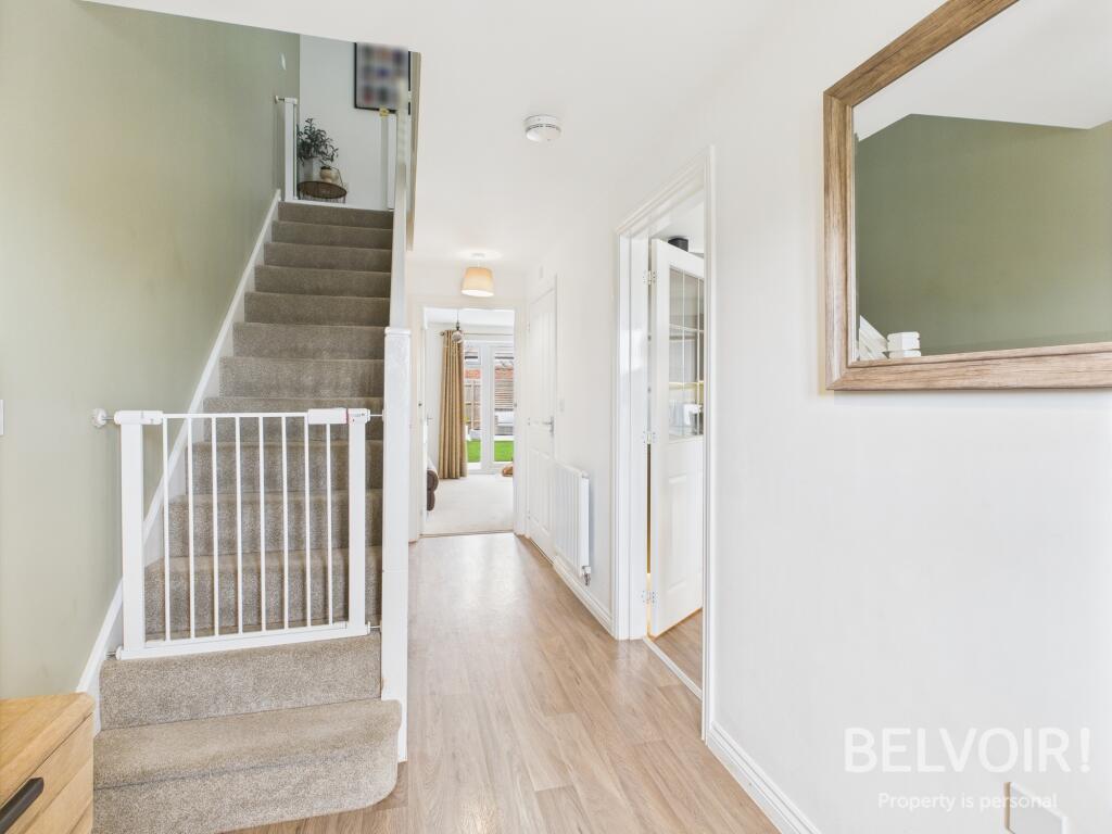
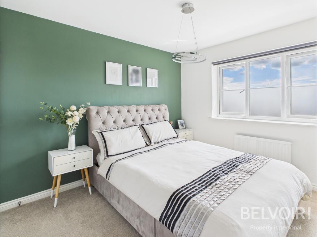
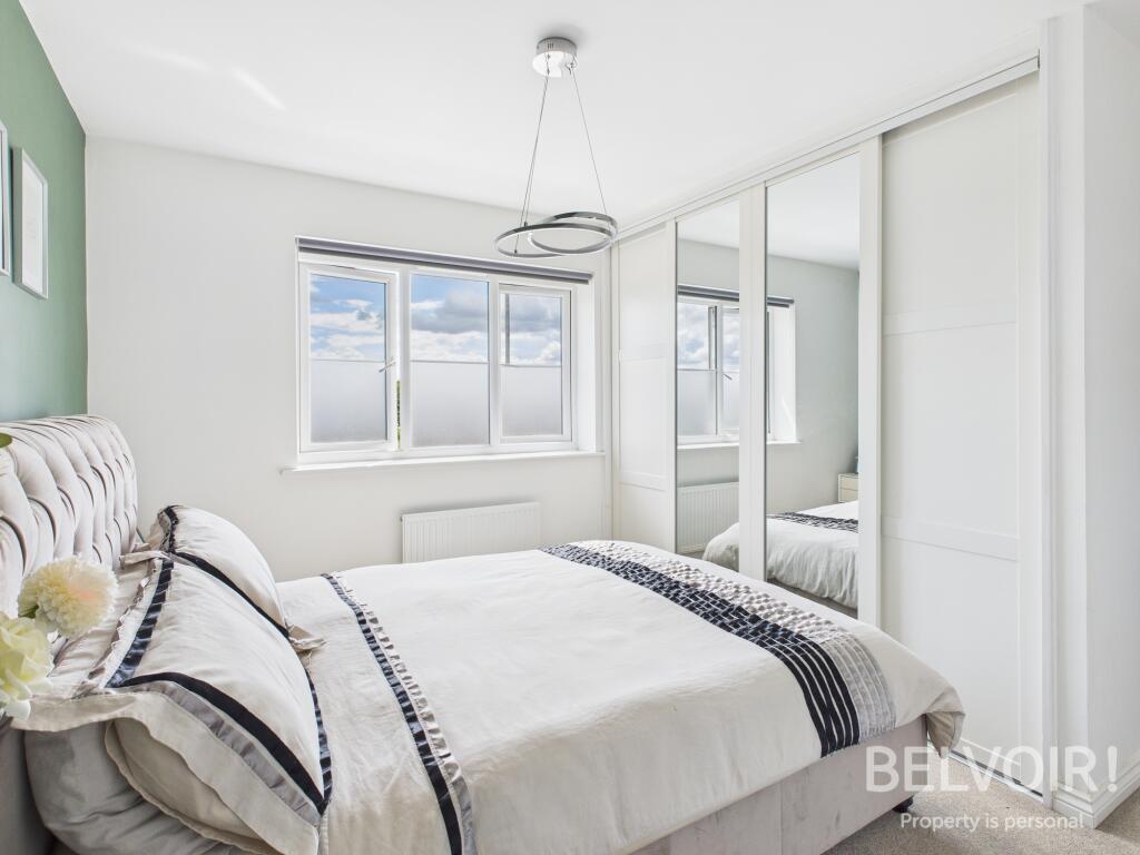
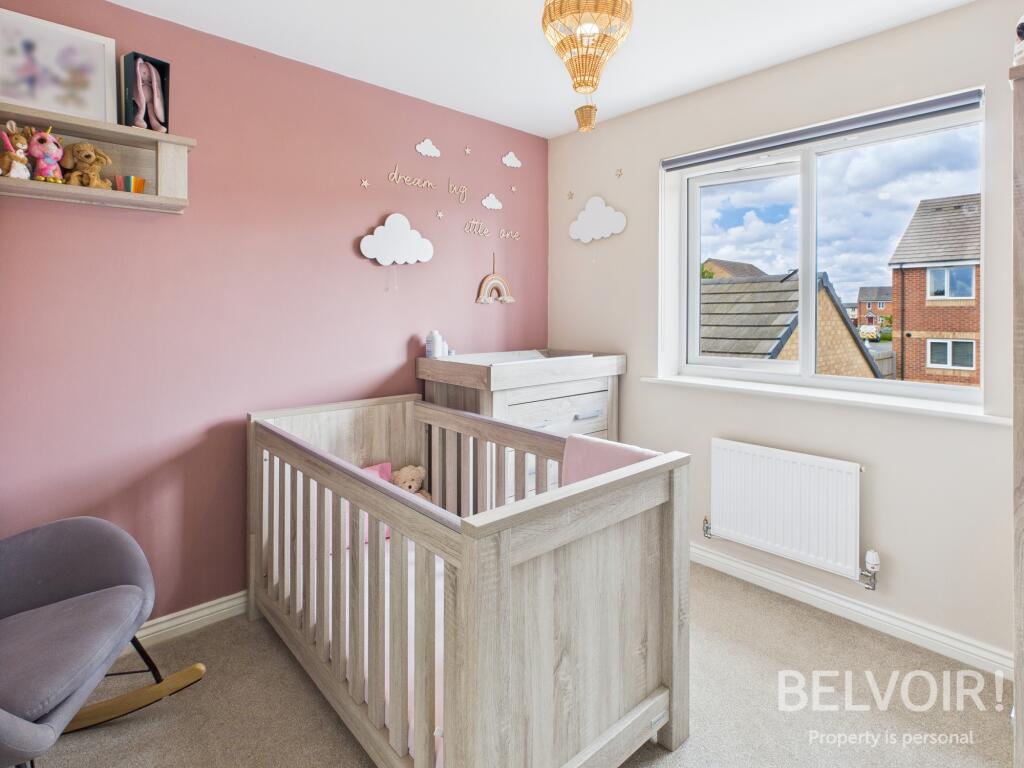
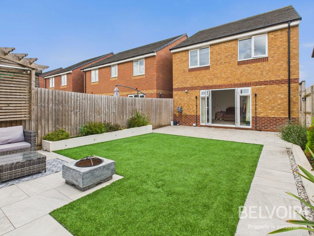
Immaculate 4 bed detached family home, situated on the very popular Marston Grange development, within easy reach of hospital, schools (primary and secondary), local amenities Stafford town, Stone and M6 (Junction 14). Stafford station is around a 10 minutes drive with direct links to London Eust...
- Bedrooms
- 4
- Bathrooms
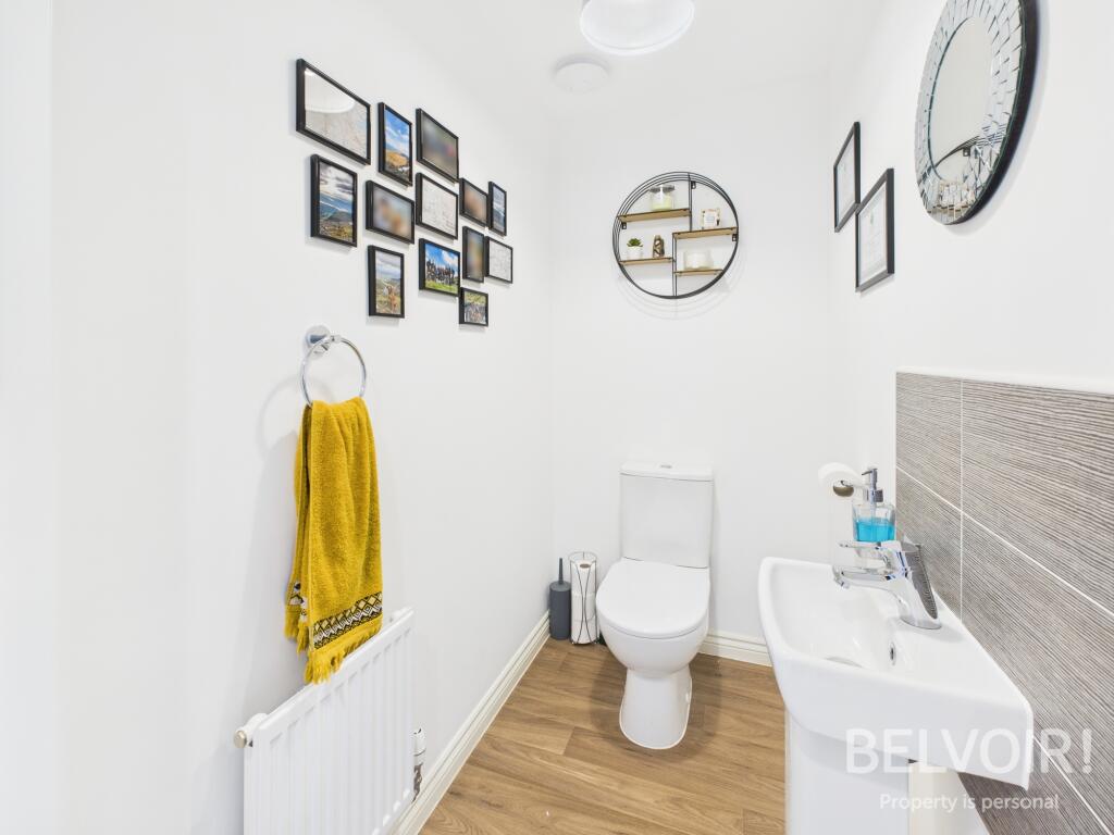
- 2
The heatmap indicates the level of crime in the area. The color of the heatmap indicates the crime severity and recency.
Metrics Year-on-Year
- Average area value
- 358,359.00 £Increased by 4.97 %
- Average area rental value
- 626.00 £/moDecreased by 56.28 %
- Est rental Yield
- 2.10 %Decreased by 58.25 %
- Crime Rate
- 32.00 %Unchanged by 0.00 %
from 341,378.00 £
from 1,432.00 £/mo
from 5.03 %
from 32.00 %
Agent Activity
Belvoir created the listing.
Nearby Schools
| Name | Type | Ofsted | Distance |
|---|---|---|---|
| Sir Graham Balfour High School | Academy Converter | Good | 0.68 KM |
| Parkside Primary School | Academy Converter | Good | 0.71 KM |
| Marshlands School | Community Special School | Good | 1.22 KM |
| Tillington Manor Primary School | Community School | Good | 1.32 KM |
| St Patrick'S Catholic Primary School | Academy Converter | Requires improvement | 2.31 KM |
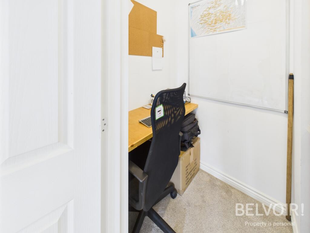
Images


Nearby Streets
| Name | Average Price | Average Sqft | Distance |
|---|---|---|---|
| Beaconside | £ 0 | 0 | 0.00 KM |
| Harry Kerr Drive | £ 0 | 0 | 0.00 KM |
| Borage Terrace | £ 0 | 0 | 0.00 KM |
| Chicory End | £ 0 | 0 | 0.00 KM |
| Underwood Close | £ 0 | 0 | 0.00 KM |
Nearby Transport
| Name | NLC | TLC | Distance |
|---|---|---|---|
| Stafford | 1268 | STA | 3.38 KM |
| Stone (Staffs) | 1316 | SNE | 8.81 KM |
Nearby Listings
| Address | Price | Type | Score | Distance |
|---|---|---|---|---|
| Burbank Burrow, Stafford, ST16 | £ 1,650 | RENT | Unknown | 0.00 KM |
| Newbold, Stafford, ST16 1WA | £ 1,250 | RENT | Unknown | 0.14 KM |
| Newbold Drive, STAFFORD | £ 1,400 | RENT | Unknown | 0.17 KM |
| Lawnsfield Walk, Parkside, ST16 1TS | £ 1,100 | RENT | Unknown | 0.20 KM |
| Pasture Lane, STAFFORD | £ 995 | RENT | Unknown | 0.31 KM |
Nearby Properties
| Address | Price | Distance |
|---|---|---|
| 2 Amblefield Way | £ 175,000 | 0.13 KM |
| 16 Amblefield Way | £ 290,000 | 0.13 KM |
| 13 Amblefield Way | £ 150,000 | 0.13 KM |
| 14 Amblefield Way | £ 171,500 | 0.13 KM |
| 11 Amblefield Way | £ 165,000 | 0.13 KM |