MA
Lower Wheat End, Newbold, OL16 2YL
By Martin & Co
£ 925
Martin & Co says ..
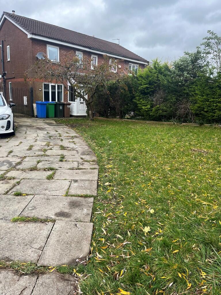
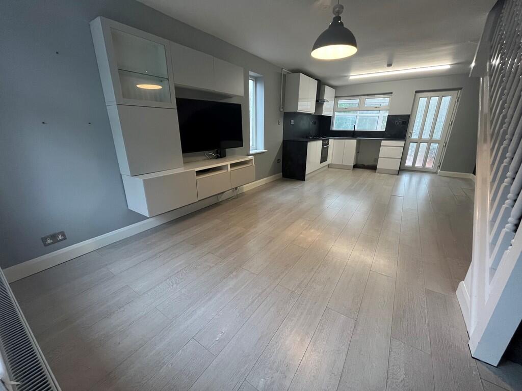
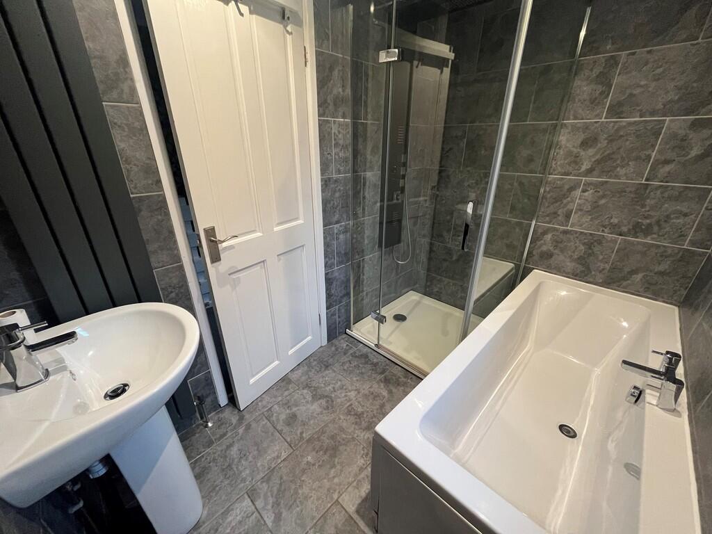
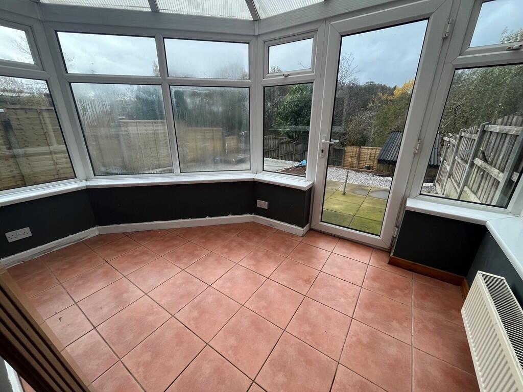
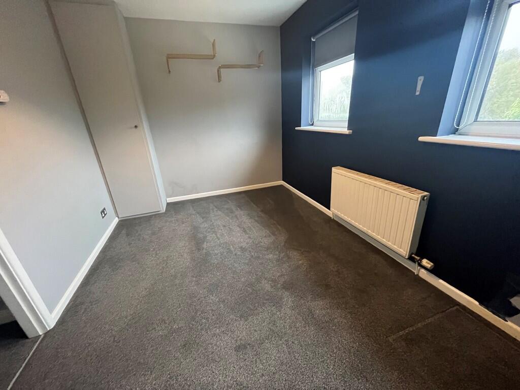
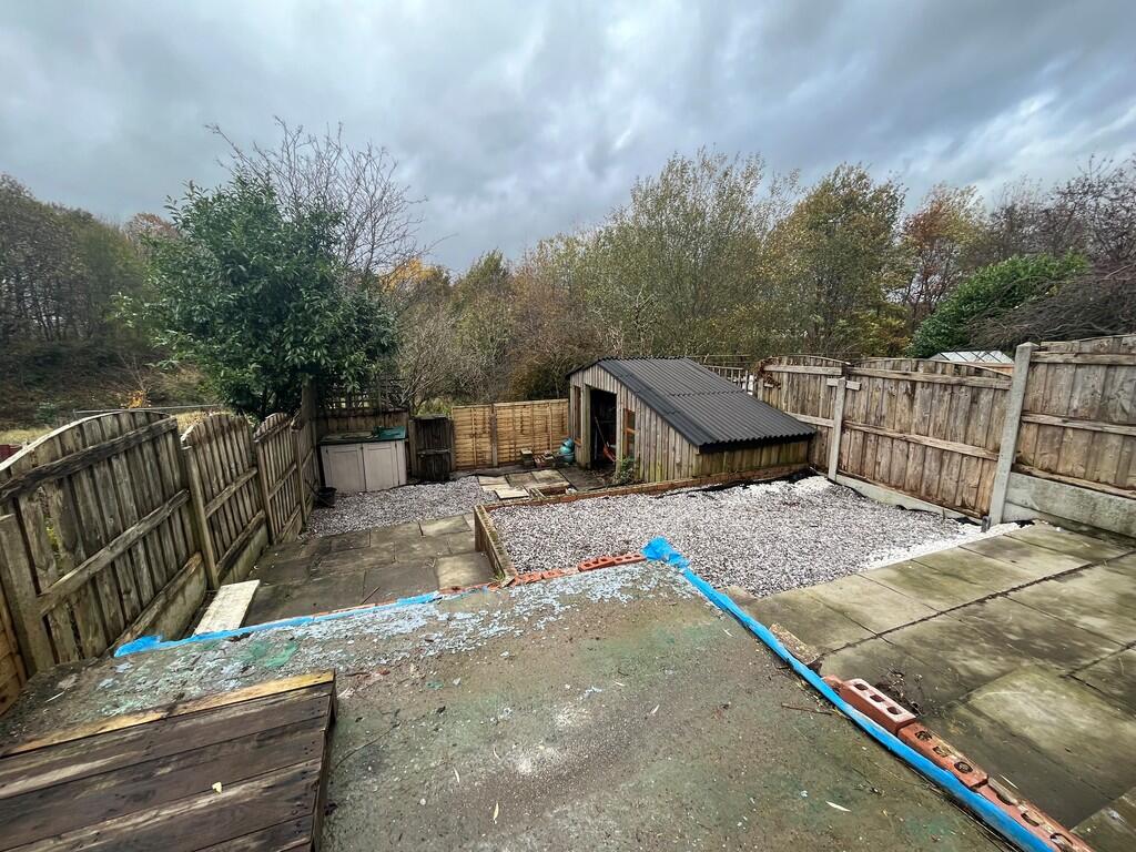
SEMI- DETACHED PROPERTY - TWO BEDROOMS - LARGE LOUNGE / KITCHEN AREA - CONSERVATORY - FAMILY BATHROOM WITH SEPARATE SHOWER - DRIVEWAY
- Bedrooms
- 2
- Bathrooms
- 1
The heatmap indicates the level of crime in the area. The color of the heatmap indicates the crime severity and recency.
Metrics Year-on-Year
- Average area value
- 230,000.00 £Decreased by 2.16 %
- Average area rental value
- 922.00 £/moDecreased by 12.52 %
- Est rental Yield
- 4.81 %Decreased by 10.59 %
- Crime Rate
- 16.00 %Unchanged by 0.00 %
from 235,071.00 £
from 1,054.00 £/mo
from 5.38 %
from 16.00 %
Agent Activity
Martin & Co created the listing.
Nearby Schools
| Name | Type | Ofsted | Distance |
|---|---|---|---|
| Belfield Community School | Community School | Good | 0.51 KM |
| Belfield Children'S Centre | Children's Centre | 0.71 KM | |
| Rochdale Pupil Referral Service | Pupil Referral Unit | Good | 0.72 KM |
| Heybrook Primary School | Community School | Good | 0.93 KM |
| Heybrook Centre | Children's Centre | 1.00 KM |
Images


Nearby Streets
| Name | Average Price | Average Sqft | Distance |
|---|---|---|---|
| Belfield Road | £ 0 | 0 | 0.00 KM |
| Mill View Lane | £ 0 | 0 | 0.00 KM |
| Grafton Street | £ 0 | 0 | 0.00 KM |
| Oak Tree Terrace | £ 0 | 0 | 0.00 KM |
| York Street | £ 175,000 | 0 | 0.00 KM |
Nearby Transport
| Name | NLC | TLC | Distance |
|---|---|---|---|
| Rochdale | 2924 | RCD | 1.88 KM |
| Smithy Bridge | 2660 | SMB | 3.23 KM |
| Castleton (Manchester) | 2919 | CAS | 5.29 KM |
| Littleborough | 2661 | LTL | 5.58 KM |
| Mills Hill (Manchester) | 2920 | MIH | 8.34 KM |
Nearby Listings
| Address | Price | Type | Score | Distance |
|---|---|---|---|---|
| Lower Wheat End, Newbold, OL16 2YL | £ 925 | RENT | Unknown | 0.00 KM |
| Croxton Avenue, Rochdale, OL16 | £ 925 | RENT | Unknown | 0.26 KM |
| Croxton Avenue, Rochdale, Greater Manchester, OL16 2yr | £ 695 | RENT | Unknown | 0.26 KM |
| Kingfisher Drive, Rochdale, OL16 | £ 1,050 | RENT | Unknown | 0.36 KM |
| Kingfisher Drive, Rochdale, OL16 | £ 1,295 | RENT | Unknown | 0.40 KM |
Nearby Properties
| Address | Price | Distance |
|---|---|---|
| 12 Lower Wheat End | £ 28,500 | 0.00 KM |
| 26 Lower Wheat End | £ 73,000 | 0.00 KM |
| 10 Lower Wheat End | £ 103,500 | 0.00 KM |
| 8 Lower Wheat End | £ 90,000 | 0.00 KM |
| 3 Waterside Lane | £ 80,000 | 0.06 KM |