
FO
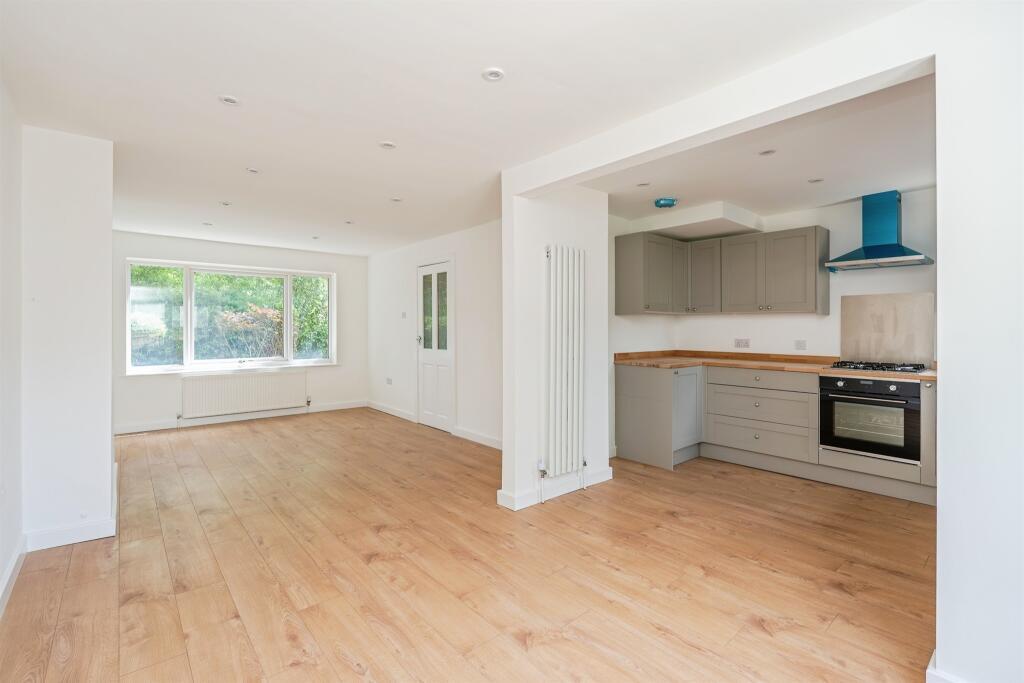
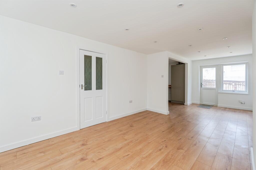
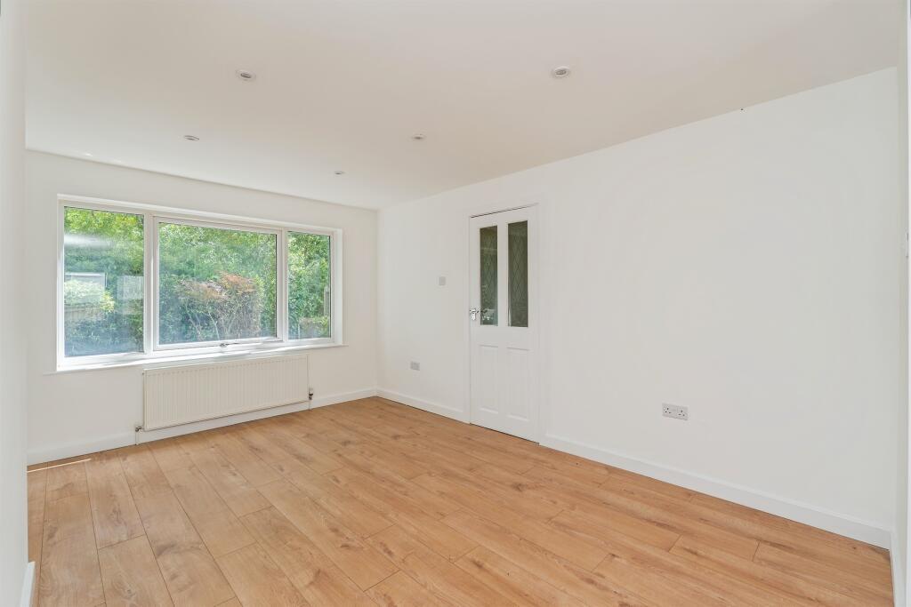
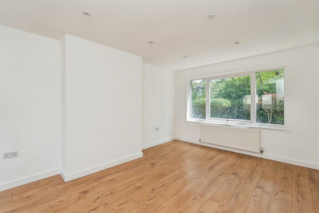
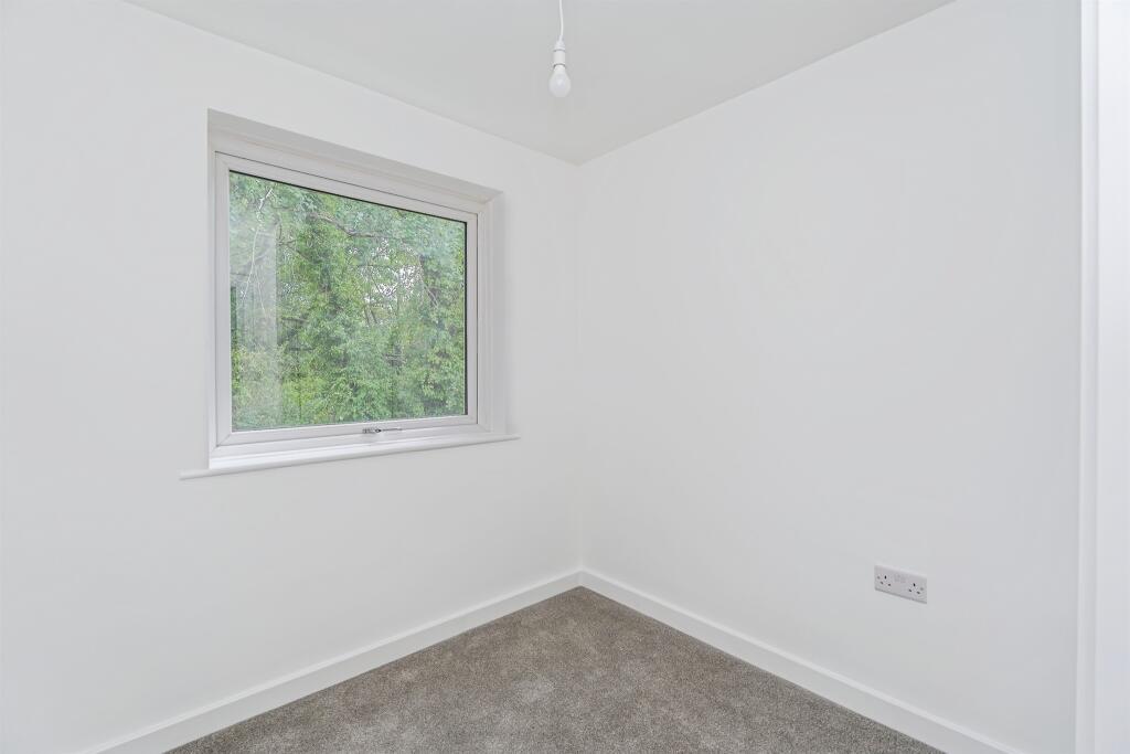
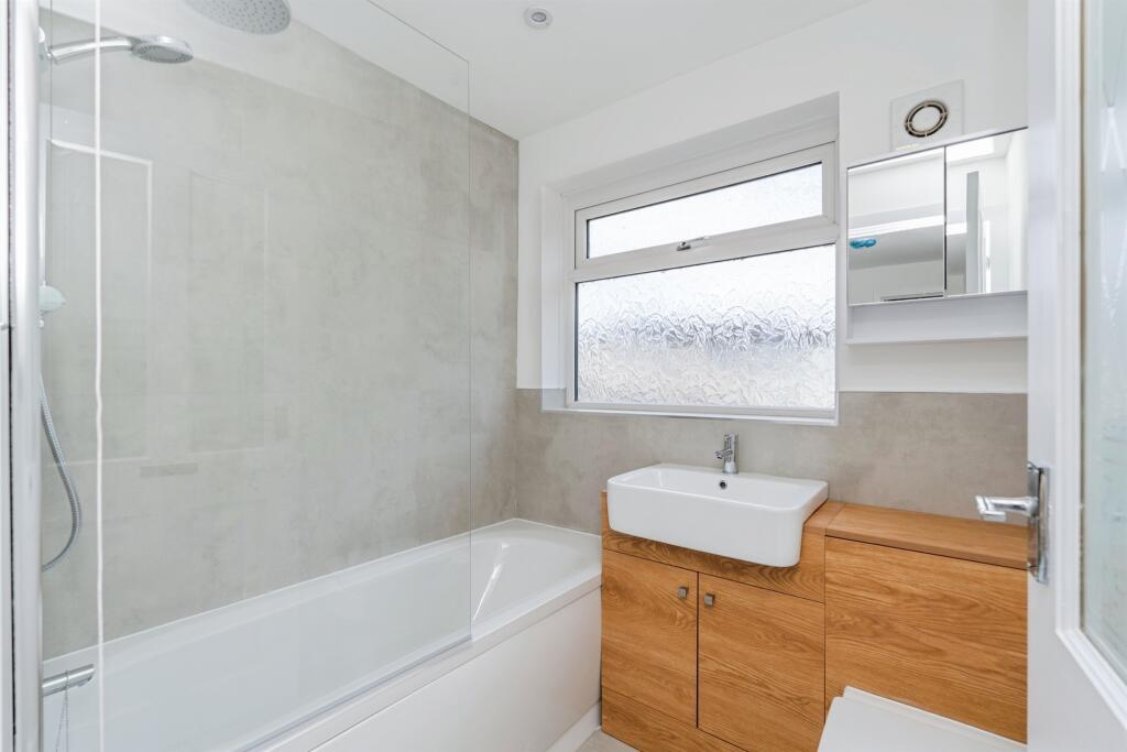
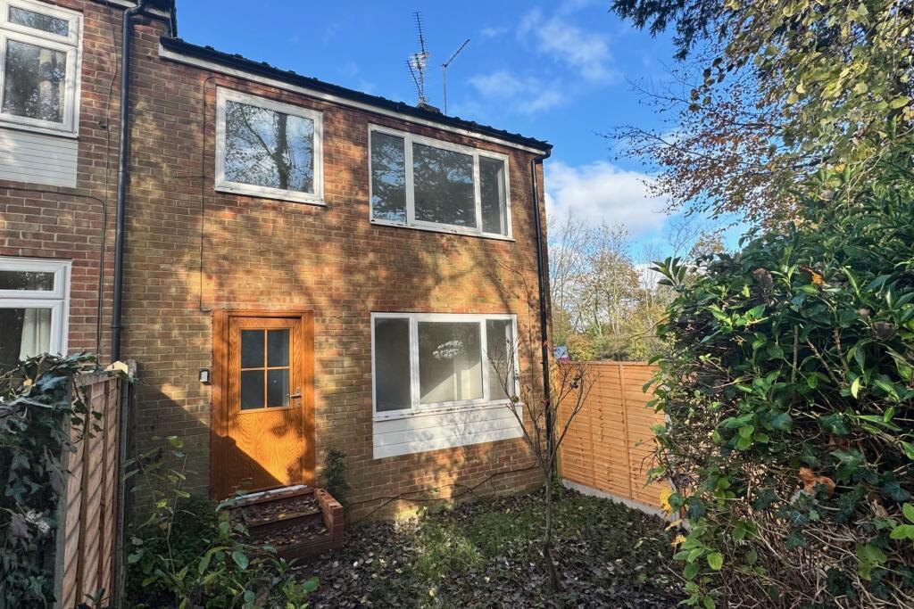
The Drive, Totton, SOUTHAMPTON
By Fox & Sons - Lettings
£ 1,350
Fox & Sons - Lettings says ..
**Recently refurbished** **Gas central heating** **Hounsdown location** **Available now**
- Bedrooms
- 3
- Bathrooms
- 1
The heatmap indicates the level of crime in the area. The color of the heatmap indicates the crime severity and recency.
Metrics Year-on-Year
- Average area value
- 471,111.00 £Increased by 12.11 %
- Average area rental value
- 1,283.00 £/moDecreased by 19.91 %
- Est rental Yield
- 3.27 %Decreased by 28.45 %
- Crime Rate
- 19.00 %Unchanged by 0.00 %
from 420,238.00 £
from 1,602.00 £/mo
from 4.57 %
from 19.00 %
Agent Activity
Fox & Sons - Lettings created the listing.
Nearby Schools
| Name | Type | Ofsted | Distance |
|---|---|---|---|
| Hounsdown School | Academy Converter | Outstanding | 0.74 KM |
| Glade School | Other Independent Special School | 0.87 KM | |
| Eling Infant School And Nursery | Community School | Good | 0.87 KM |
| Forest Park School | Community Special School | Good | 0.91 KM |
| The Harbour Children'S Centre | Children's Centre Linked Site | 0.92 KM |
Images


Nearby Streets
| Name | Average Price | Average Sqft | Distance |
|---|---|---|---|
| Howerd Court | £ 0 | 0 | 0.00 KM |
| Jacob's Gutter Lane | £ 0 | 0 | 0.00 KM |
| Hurst Close | £ 360,000 | 0 | 0.00 KM |
| Heather Close | £ 0 | 0 | 0.00 KM |
| Ringwood Road | £ 0 | 0 | 0.00 KM |
Nearby Transport
| Name | NLC | TLC | Distance |
|---|---|---|---|
| Totton | 5921 | TTN | 1.26 KM |
| Redbridge | 5912 | RDB | 2.56 KM |
| Ashurst New Forest | 5906 | ANF | 4.55 KM |
| Millbrook (Hants) | 5909 | MBK | 6.38 KM |
| Beaulieu Road | 5890 | BEU | 6.42 KM |
Nearby Listings
| Address | Price | Type | Score | Distance |
|---|---|---|---|---|
| The Drive, Totton, SOUTHAMPTON | £ 1,350 | RENT | Unknown | 0.00 KM |
| West Totton | £ 750 | RENT | Unknown | 0.44 KM |
| Rumbridge Street, Totton | £ 1,100 | RENT | Unknown | 0.58 KM |
| Ringwood Road, Totton, Southampton | £ 1,800 | RENT | Unknown | 0.74 KM |
| Rumbridge Street, SO40 | £ 950 | RENT | Unknown | 0.80 KM |
Nearby Properties
| Address | Price | Distance |
|---|---|---|
| 66 The Drive | £ 212,000 | 0.00 KM |
| 54 The Drive | £ 220,000 | 0.00 KM |
| 52 The Drive | £ 278,000 | 0.00 KM |
| 72 The Drive | £ 195,000 | 0.00 KM |
| 74 The Drive | £ 202,500 | 0.00 KM |