FU
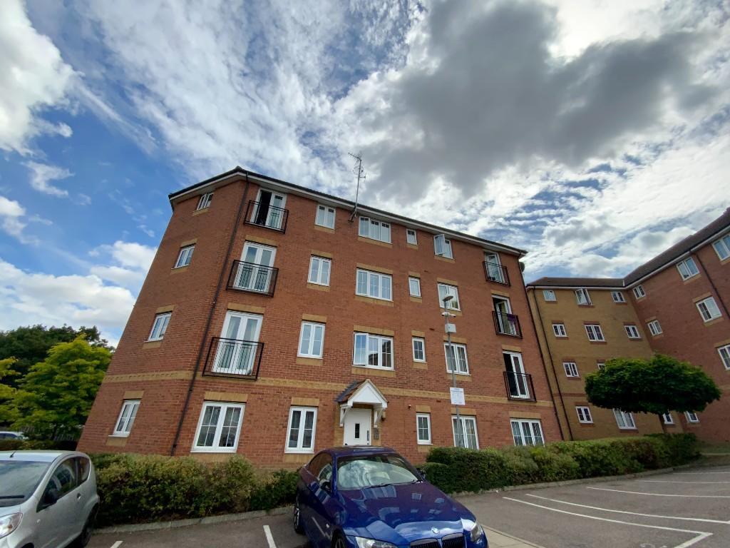
Bromley Close, East Road, Harlow
By Future Let
£ 1,100
Future Let says ..
No summary available.
- Bedrooms
- 1
- Bathrooms
- 1
The heatmap indicates the level of crime in the area. The color of the heatmap indicates the crime severity and recency.
Metrics Year-on-Year
- Average area value
- 371,500.00 £Increased by 6.44 %
- Average area rental value
- 985.00 £/moDecreased by 5.74 %
- Est rental Yield
- 3.18 %Decreased by 11.42 %
- Crime Rate
- 5.00 %Unchanged by 0.00 %
from 349,009.00 £
from 1,045.00 £/mo
from 3.59 %
from 5.00 %
Agent Activity
Future Let created the listing.
Nearby Schools
| Name | Type | Ofsted | Distance |
|---|---|---|---|
| Mark Hall Academy | Academy Sponsor Led | 0.74 KM | |
| Tany'S Dell Primary School And Nursery | Academy Converter | 0.83 KM | |
| Fawbert And Barnard'S Primary School | Academy Converter | 0.83 KM | |
| Cooks Spinney Primary Academy And Nursery | Academy Sponsor Led | Good | 1.29 KM |
| Church Langley Community Primary School | Community School | Good | 1.77 KM |
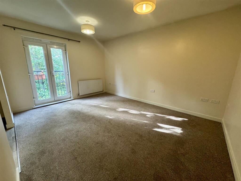
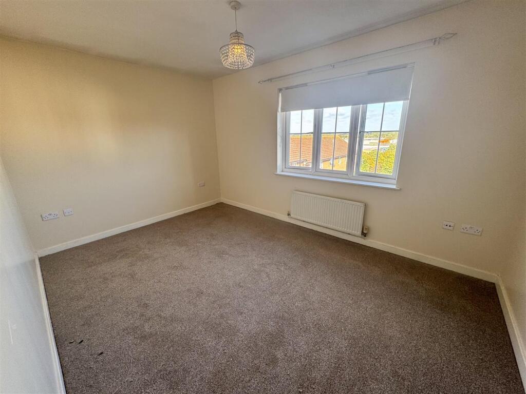
Images


Nearby Streets
| Name | Average Price | Average Sqft | Distance |
|---|---|---|---|
| Bloomfield | £ 0 | 0 | 0.00 KM |
| Spicers Lane | £ 0 | 0 | 0.00 KM |
| West Road | £ 0 | 0 | 0.00 KM |
| Station Approach | £ 106,360 | 0 | 0.00 KM |
| St Edmund's Way | £ 0 | 0 | 0.00 KM |
Nearby Transport
| Name | NLC | TLC | Distance |
|---|---|---|---|
| Harlow Mill | 6804 | HWM | 1.11 KM |
| Harlow Town | 6827 | HWN | 3.38 KM |
| Sawbridgeworth | 6806 | SAW | 5.20 KM |
| Roydon | 6829 | RYN | 9.91 KM |
Nearby Listings
| Address | Price | Type | Score | Distance |
|---|---|---|---|---|
| Bromley Close, East Road, Harlow | £ 1,100 | RENT | Unknown | 0.00 KM |
| Bromley Close, HARLOW | £ 1,450 | RENT | Unknown | 0.06 KM |
| Bromley Close,Harlow,CM20 | £ 1,050 | RENT | Unknown | 0.06 KM |
| Bromley Close, Harlow, CM20 | £ 1,470 | RENT | Unknown | 0.06 KM |
| Bromley Close, Harlow, CM20 | £ 1,470 | RENT | Unknown | 0.06 KM |
Nearby Properties
| Address | Price | Distance |
|---|---|---|
| 21 Broomfield | £ 265,000 | 0.07 KM |
| 1 Broomfield | £ 306,000 | 0.07 KM |
| 19 Broomfield | £ 324,500 | 0.07 KM |
| 3 Broomfield | £ 250,000 | 0.07 KM |
| 18 Broomfield | £ 340,000 | 0.07 KM |