PO
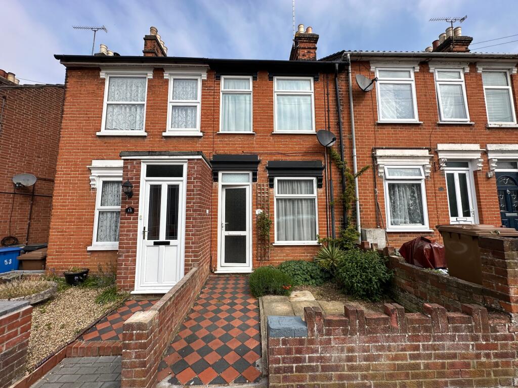
Upland Road, Ipswich
By Power Property Management
£ 995
Power Property Management says ..
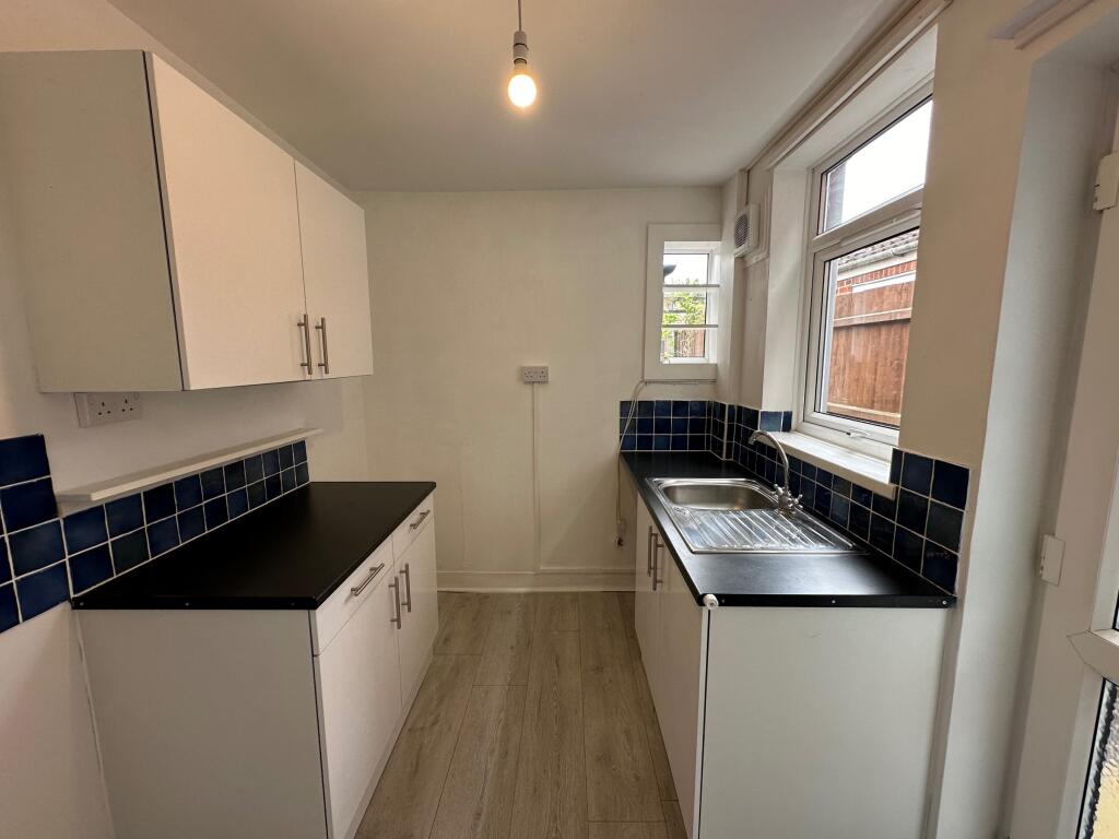
2 Bed Terrace East Ipswich
- Bedrooms
- 2
- Bathrooms
- 1
The heatmap indicates the level of crime in the area. The color of the heatmap indicates the crime severity and recency.
Metrics Year-on-Year
- Average area value
- 570,435.00 £Increased by 16.78 %
- Average area rental value
- 1,562.00 £/moIncreased by 10.39 %
- Est rental Yield
- 3.29 %Decreased by 5.46 %
- Crime Rate
- 8.00 %Unchanged by 0.00 %
from 488,470.00 £
from 1,415.00 £/mo
from 3.48 %
from 8.00 %
Agent Activity
Power Property Management created the listing.
Nearby Schools
| Name | Type | Ofsted | Distance |
|---|---|---|---|
| St Mary'S Catholic Primary School, Ipswich | Academy Converter | 0.62 KM | |
| Clifford Road Primary School & Nursery | Community School | Good | 0.63 KM |
| St John'S Church Of England Voluntary Aided Primary School, Ipswich | Voluntary Aided School | Good | 0.68 KM |
| Parkside Academy | Academy Alternative Provision Converter | Requires improvement | 0.74 KM |
| Sidegate Primary School | Academy Sponsor Led | Good | 0.86 KM |
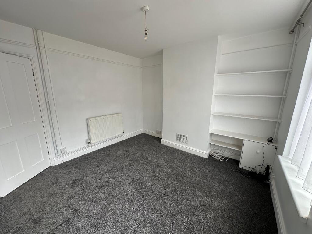
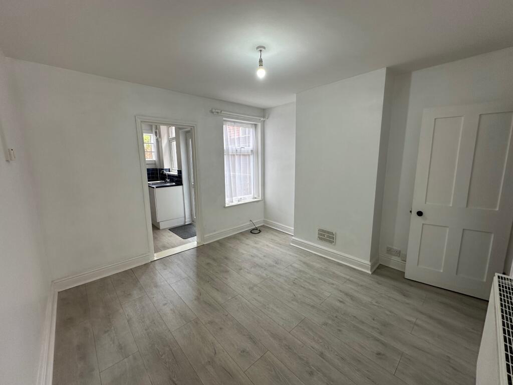
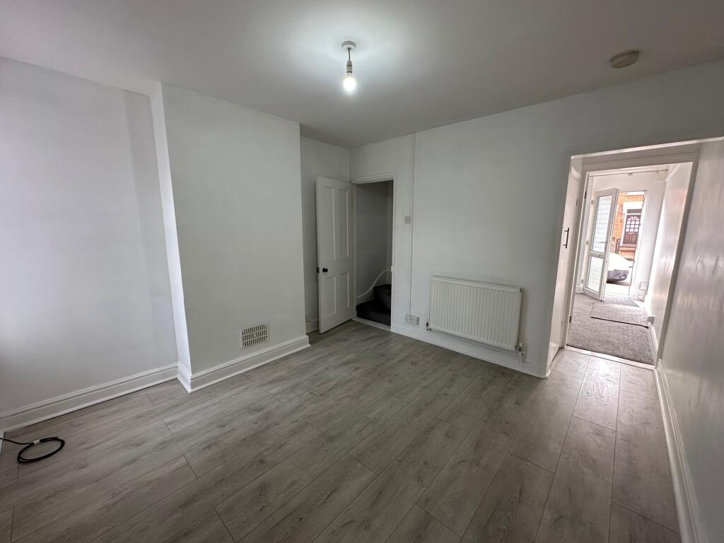
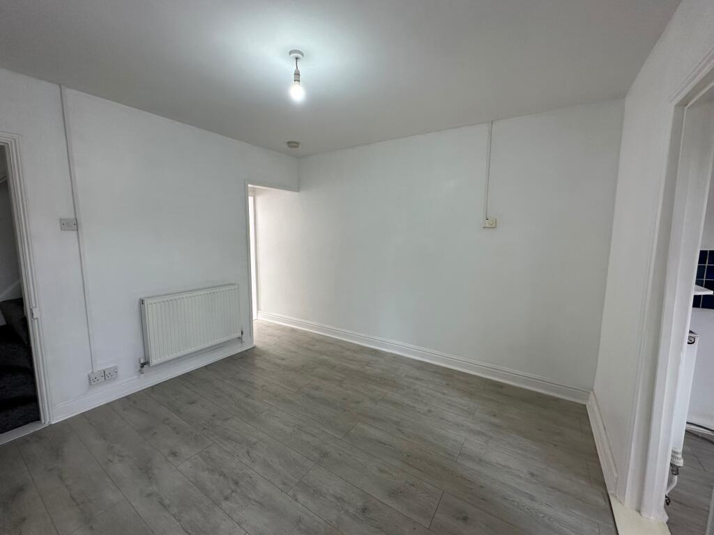
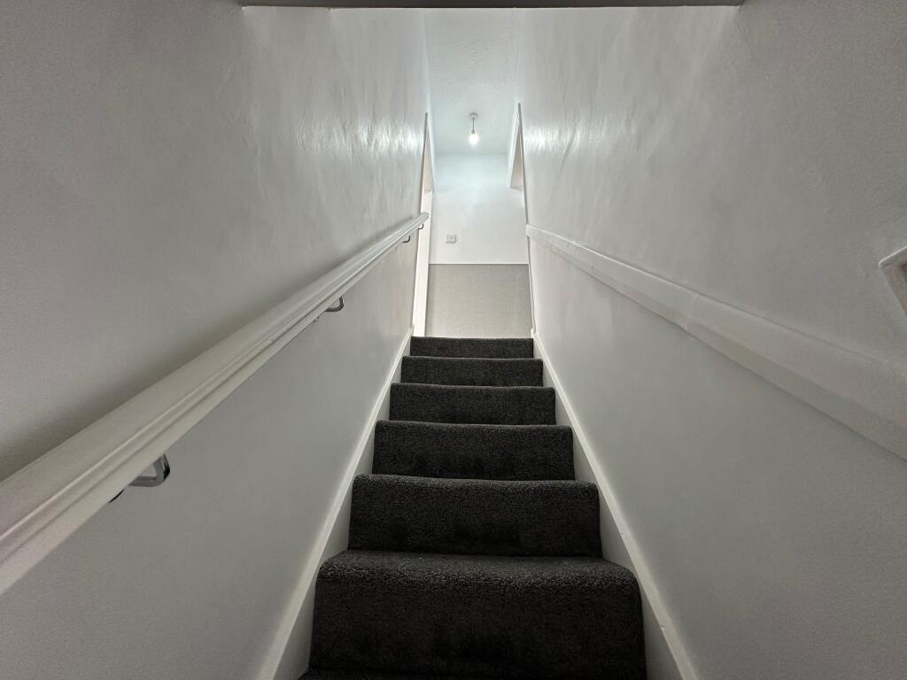
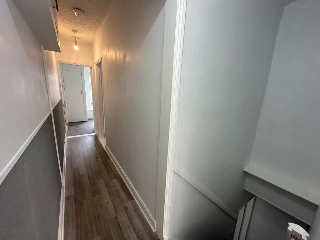
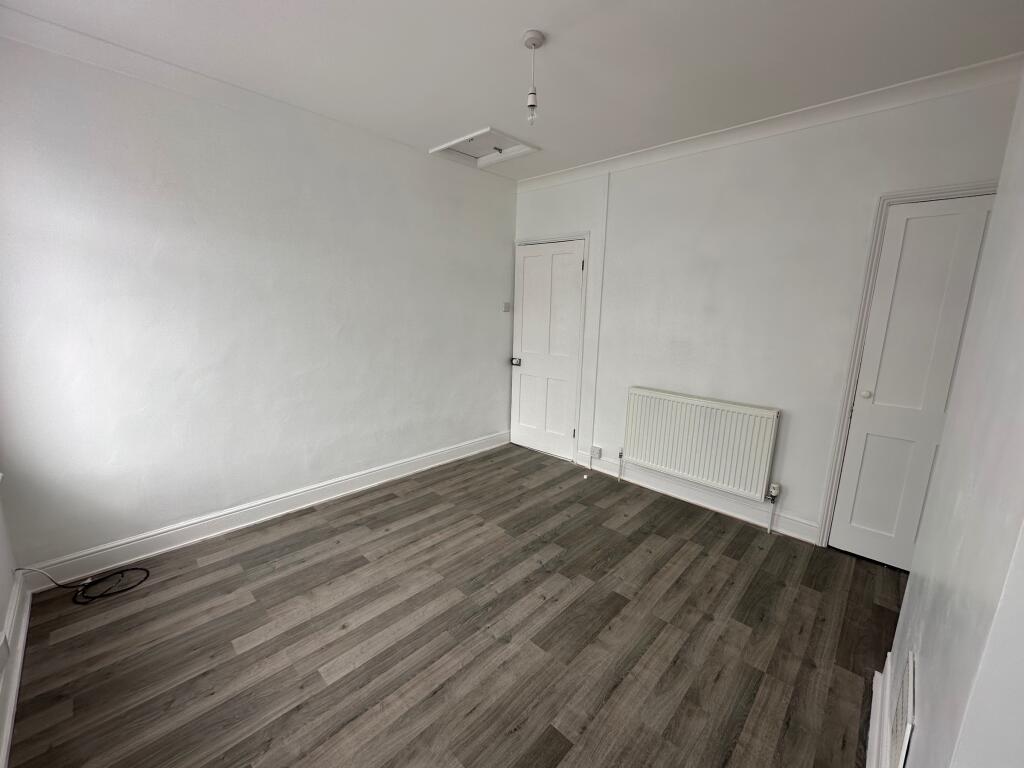
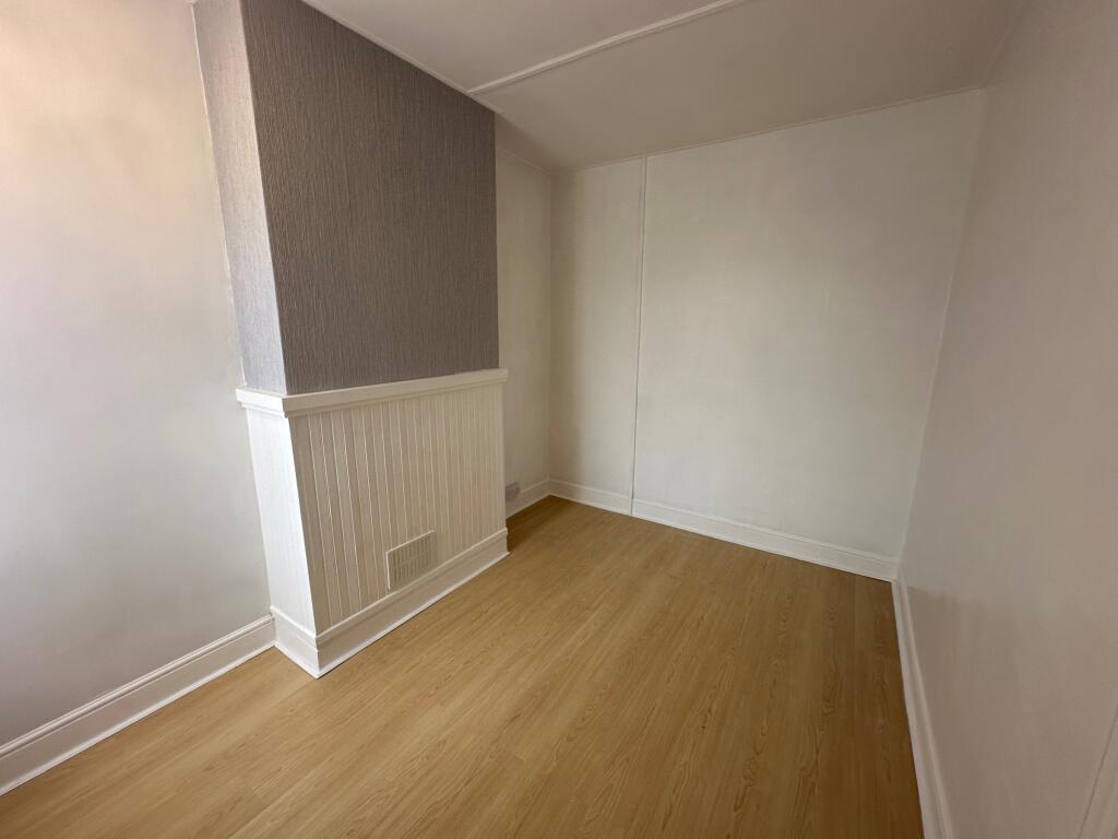
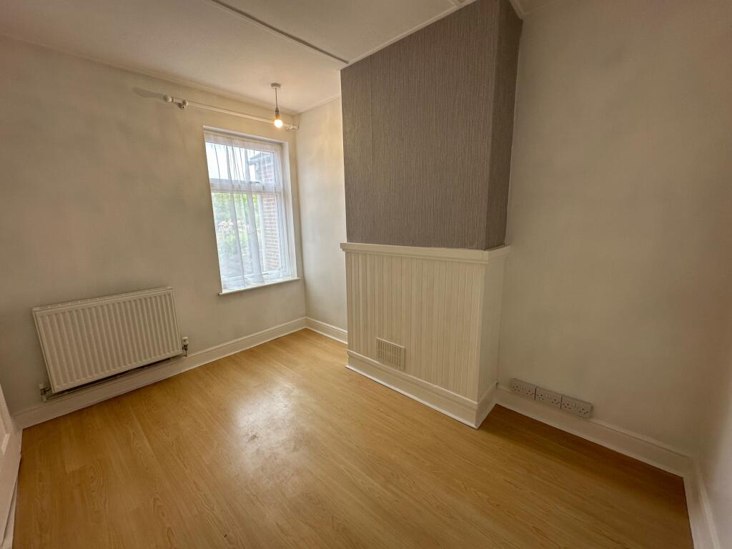
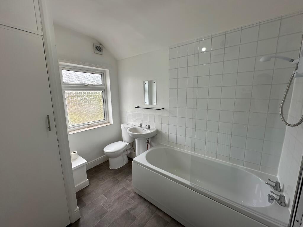
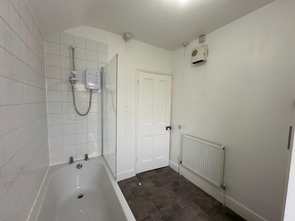
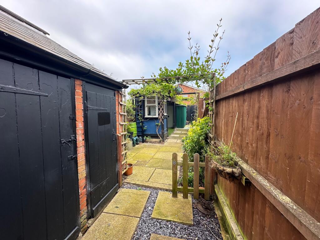
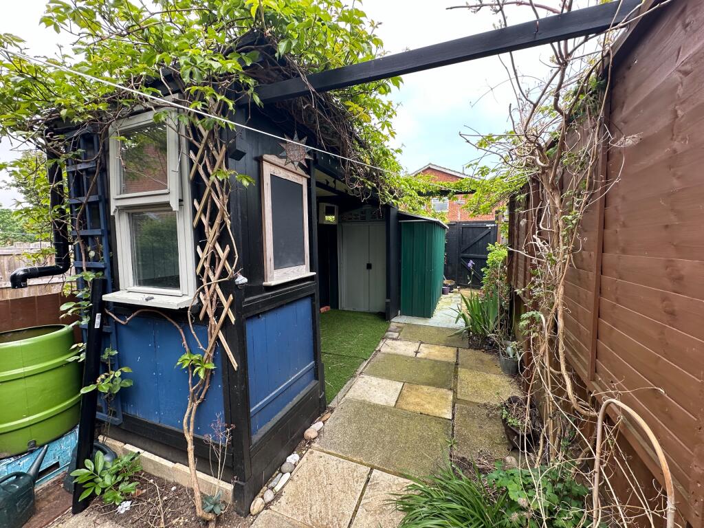
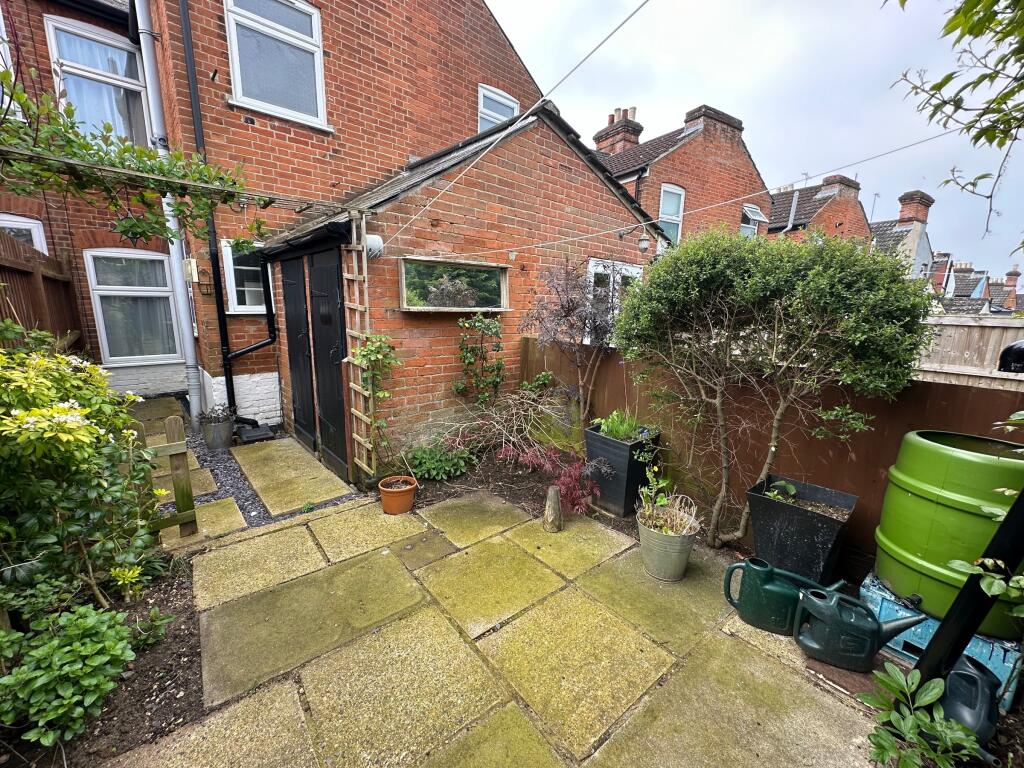
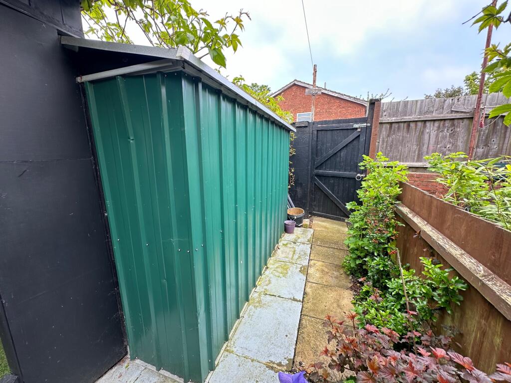
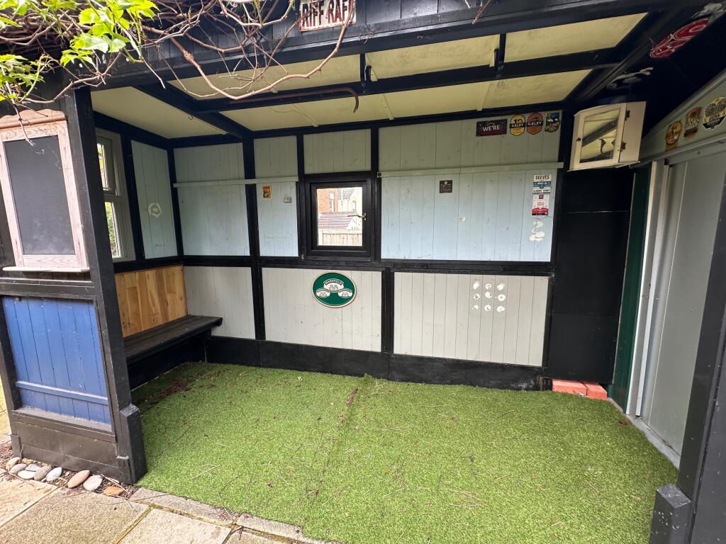
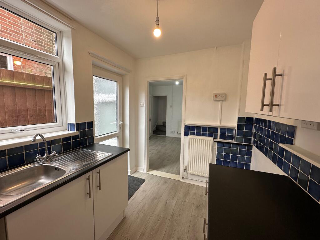
Images


Nearby Streets
| Name | Average Price | Average Sqft | Distance |
|---|---|---|---|
| The Drift | £ 0 | 0 | 0.00 KM |
| Tolworth Road | £ 0 | 0 | 0.00 KM |
| Boston Road | £ 0 | 0 | 0.00 KM |
| Kirby Close | £ 340,000 | 0 | 0.00 KM |
| Derby Close | £ 0 | 0 | 0.00 KM |
Nearby Transport
| Name | NLC | TLC | Distance |
|---|---|---|---|
| Derby Road (Ipswich) | 7212 | DBR | 0.89 KM |
| Westerfield | 7226 | WFI | 3.00 KM |
| Ipswich | 7217 | IPS | 4.08 KM |
Nearby Listings
| Address | Price | Type | Score | Distance |
|---|---|---|---|---|
| Upland Road, Ipswich, Suffolk, IP4 | £ 925 | RENT | Unknown | 0.02 KM |
| Upland Road, Ipswich, Suffolk, IP4 | £ 850 | RENT | Unknown | 0.02 KM |
| Upland Road, IP4 | £ 995 | RENT | Unknown | 0.02 KM |
| Springland Close, Ipswich | £ 850 | RENT | Unknown | 0.05 KM |
| Oakstead Close, Ipswich, Suffolk, UK, IP4 | £ 750 | RENT | Unknown | 0.05 KM |
Nearby Properties
| Address | Price | Distance |
|---|---|---|
| 90 Upland Road | £ 172,995 | 0.02 KM |
| 25 Upland Road | £ 157,300 | 0.02 KM |
| 54 Upland Road | £ 131,500 | 0.02 KM |
| 23 Upland Road | £ 167,400 | 0.02 KM |
| 61 Upland Road | £ 215,000 | 0.02 KM |