PO
Main Road, Kesgrave, Ipswich
By Power Property Management
£ 875
Power Property Management says ..
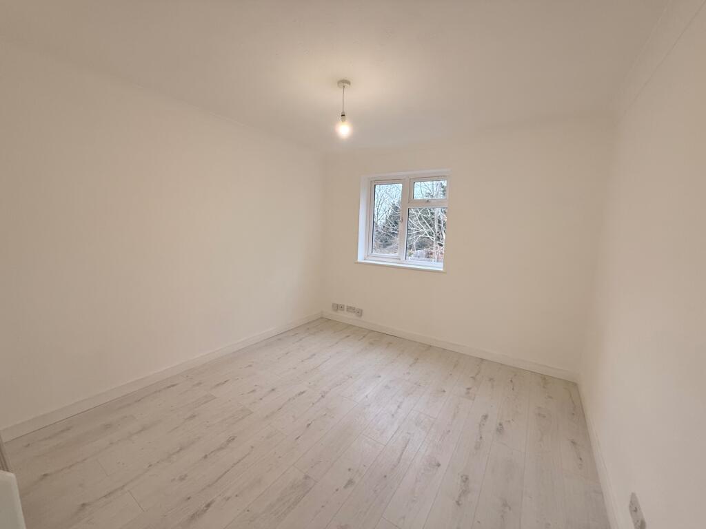
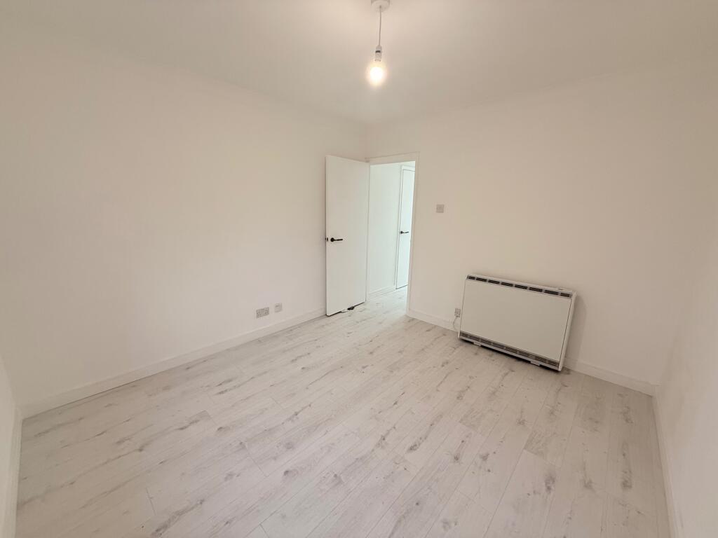
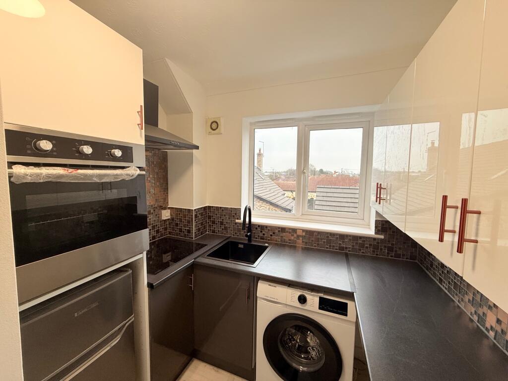
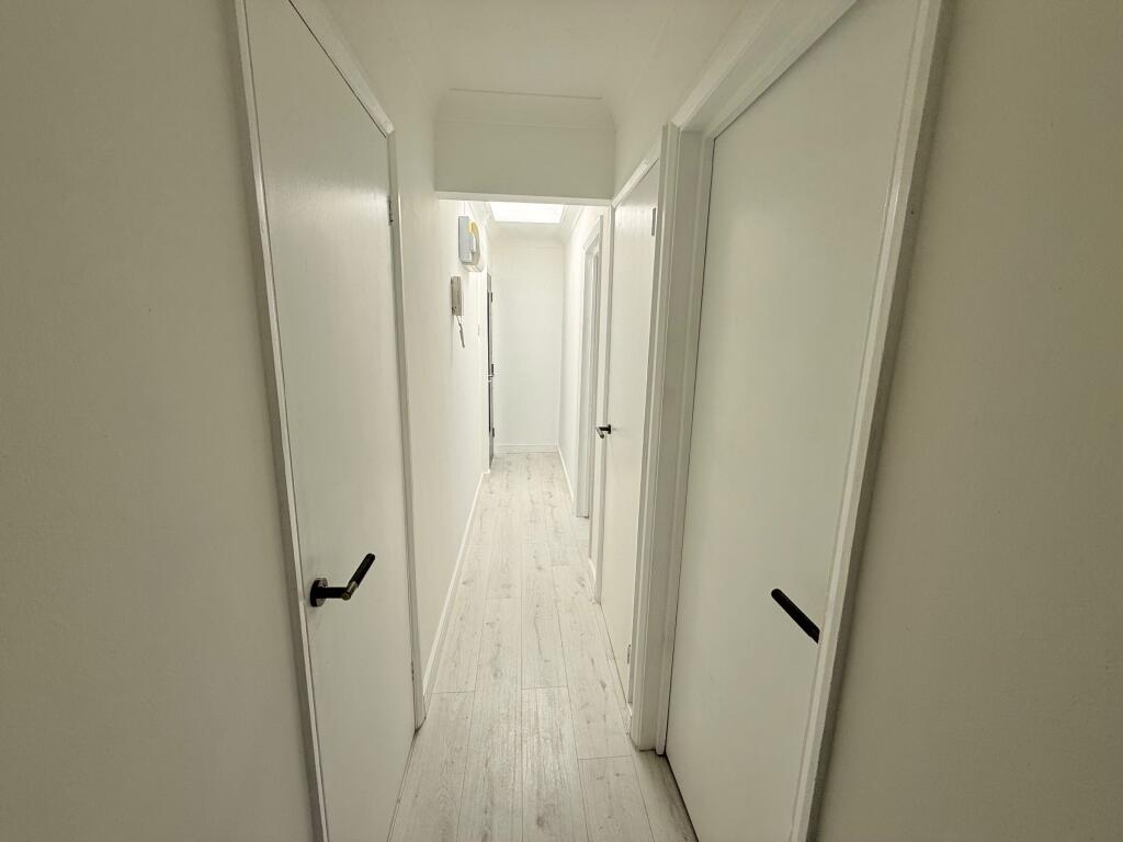
1 Bed Apartment Kesgrave, Ipswich,
- Bedrooms
- 1
- Bathrooms
- 1
The heatmap indicates the level of crime in the area. The color of the heatmap indicates the crime severity and recency.
Metrics Year-on-Year
- Average area value
- 417,115.00 £Increased by 15.53 %
- Average area rental value
- 1,184.00 £/moIncreased by 3.59 %
- Est rental Yield
- 3.41 %Decreased by 10.26 %
- Crime Rate
- 8.00 %Unchanged by 0.00 %
from 361,047.00 £
from 1,143.00 £/mo
from 3.80 %
from 8.00 %
Agent Activity
Power Property Management created the listing.
Nearby Schools
| Name | Type | Ofsted | Distance |
|---|---|---|---|
| Kesgrave Children'S Centre | Children's Centre | 0.46 KM | |
| Heath Primary School, Kesgrave | Community School | Good | 0.64 KM |
| Kesgrave High School | Academy Converter | Good | 0.68 KM |
| Cedarwood Primary School | Community School | Good | 1.11 KM |
| Bealings School | Community School | Outstanding | 2.57 KM |
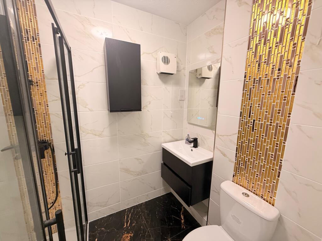
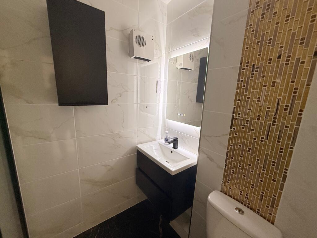
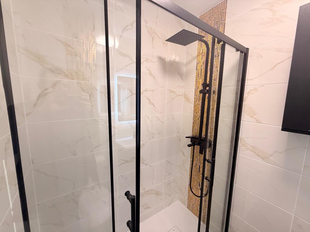
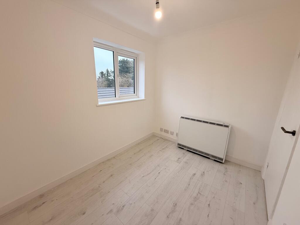
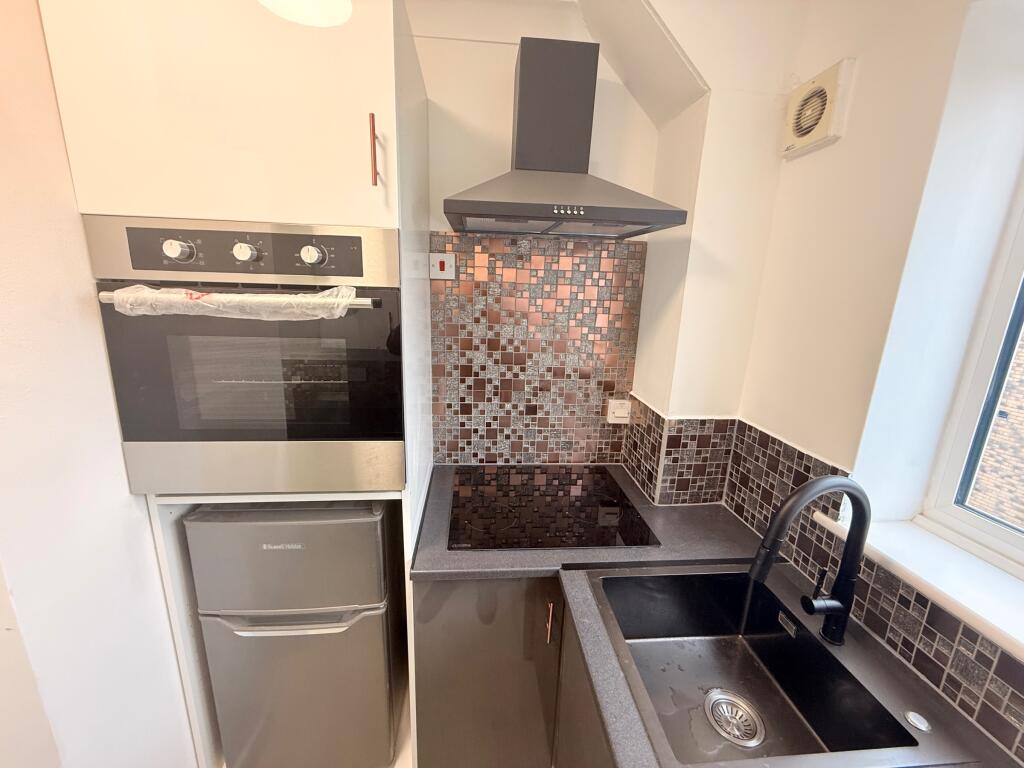
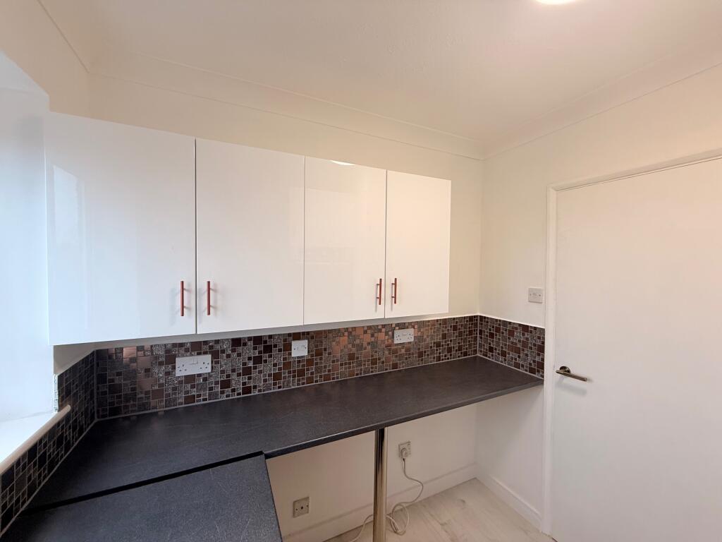
Images

Nearby Streets
| Name | Average Price | Average Sqft | Distance |
|---|---|---|---|
| Doctor Watsons Lane | £ 1,195,000 | 0 | 0.00 KM |
| Bodmin Close | £ 0 | 0 | 0.00 KM |
Nearby Transport
| Name | NLC | TLC | Distance |
|---|---|---|---|
| Derby Road (Ipswich) | 7212 | DBR | 6.36 KM |
| Westerfield | 7226 | WFI | 8.14 KM |
| Woodbridge | 7228 | WDB | 9.22 KM |
Nearby Listings
| Address | Price | Type | Score | Distance |
|---|---|---|---|---|
| Main Road, Kesgrave, Ipswich | £ 875 | RENT | Unknown | 0.00 KM |
| Sherwood Fields, Kesgrave, Ipswich, IP5 | £ 1,050 | RENT | Unknown | 0.53 KM |
| Scopes Road, IP5 | £ 1,050 | RENT | Unknown | 0.54 KM |
| Scopes Road, IP5 | £ 1,050 | RENT | Unknown | 0.54 KM |
| Butler Smith Gardens, Kesgrave | £ 1,350 | RENT | Unknown | 0.69 KM |
Nearby Properties
| Address | Price | Distance |
|---|---|---|
| 143 Main Road | £ 300,000 | 0.02 KM |
| 14 Sewell Wontner Close | £ 260,000 | 0.14 KM |
| 15 Sewell Wontner Close | £ 152,000 | 0.14 KM |
| 20 Sewell Wontner Close | £ 250,000 | 0.14 KM |
| 24 Sewell Wontner Close | £ 250,000 | 0.14 KM |