

Firthwood Road, Coal Aston, Dronfield
By Saxton Mee
£ 550,000
Saxton Mee says ..
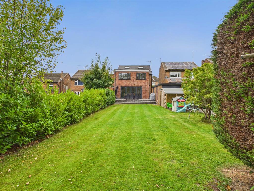
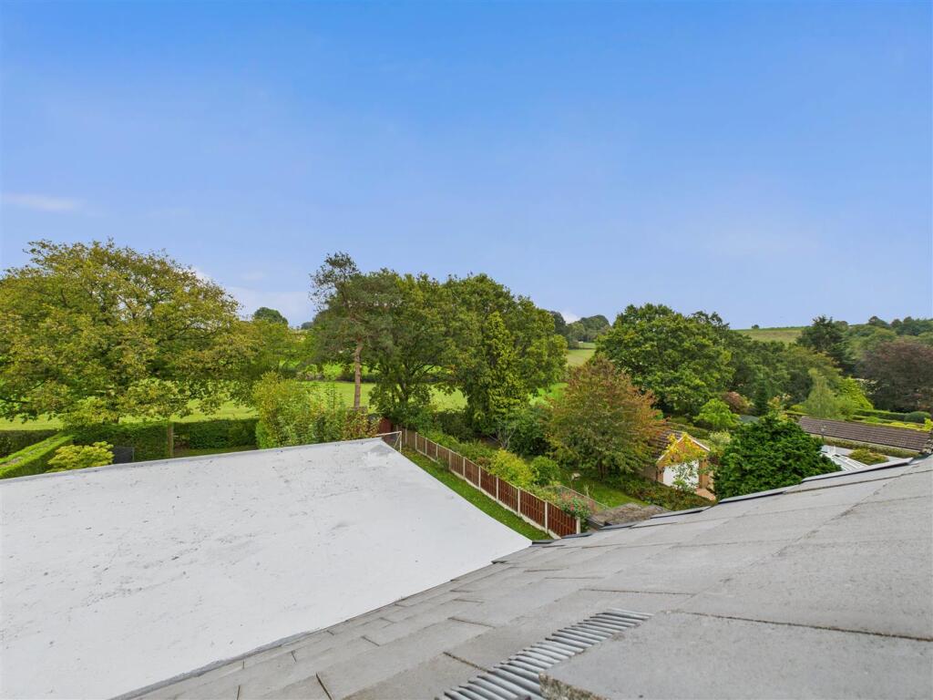
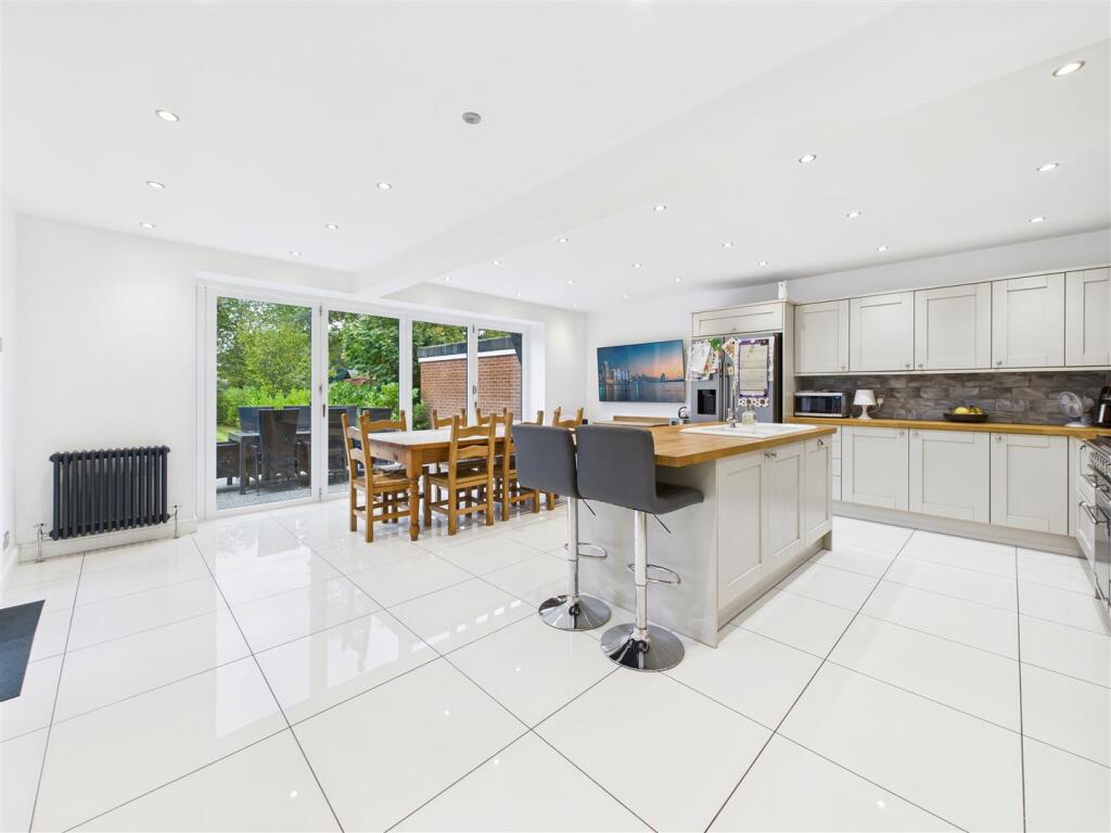
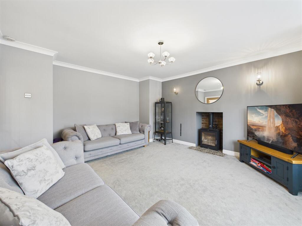
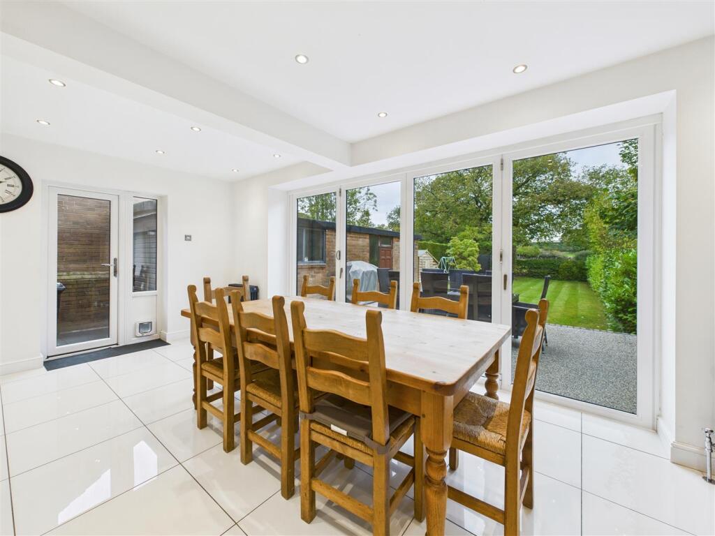
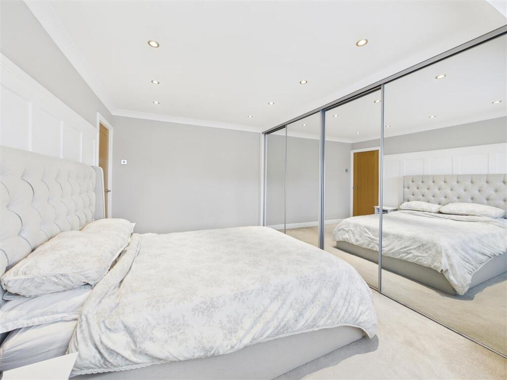
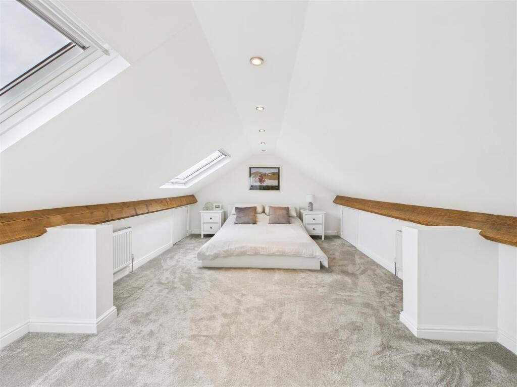
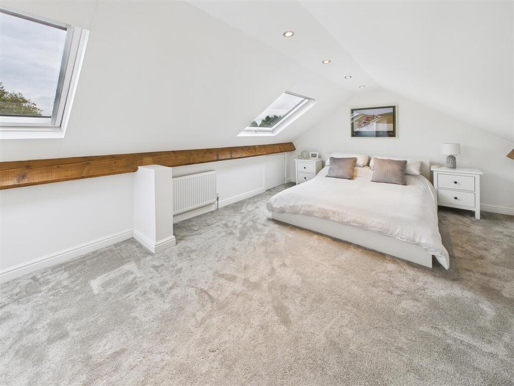
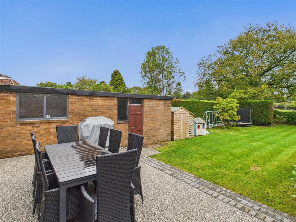
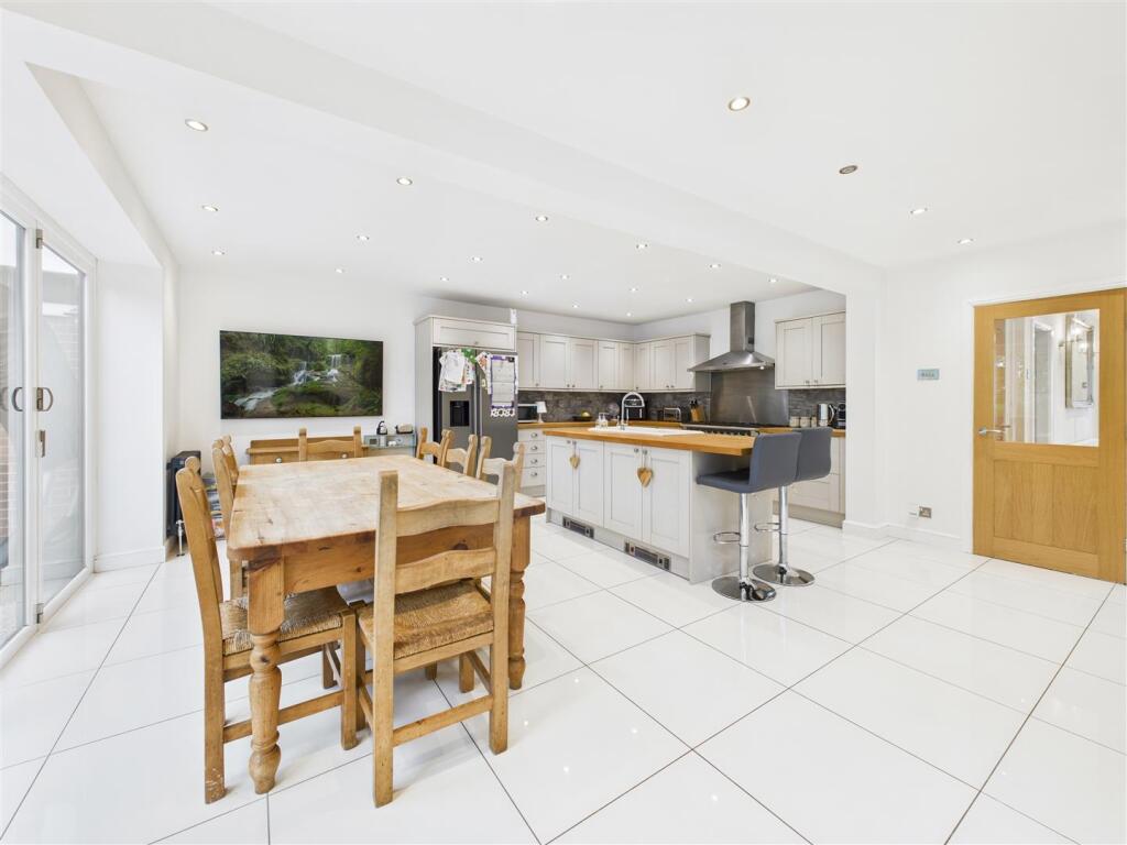
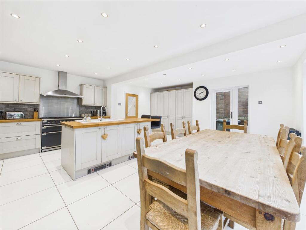
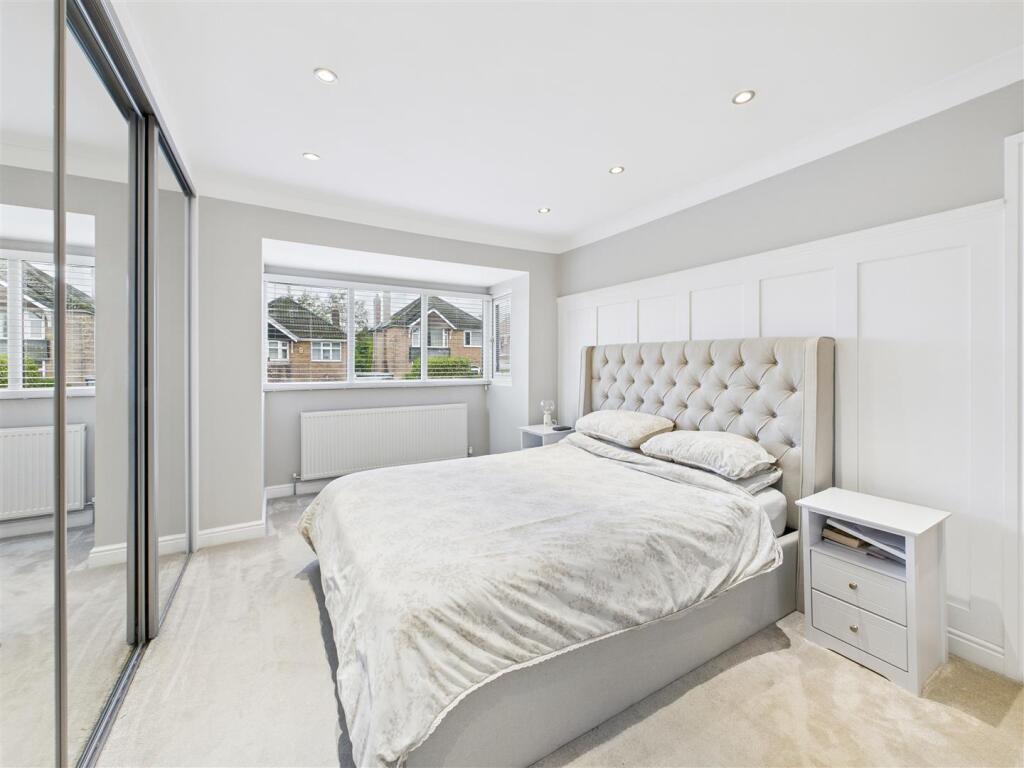
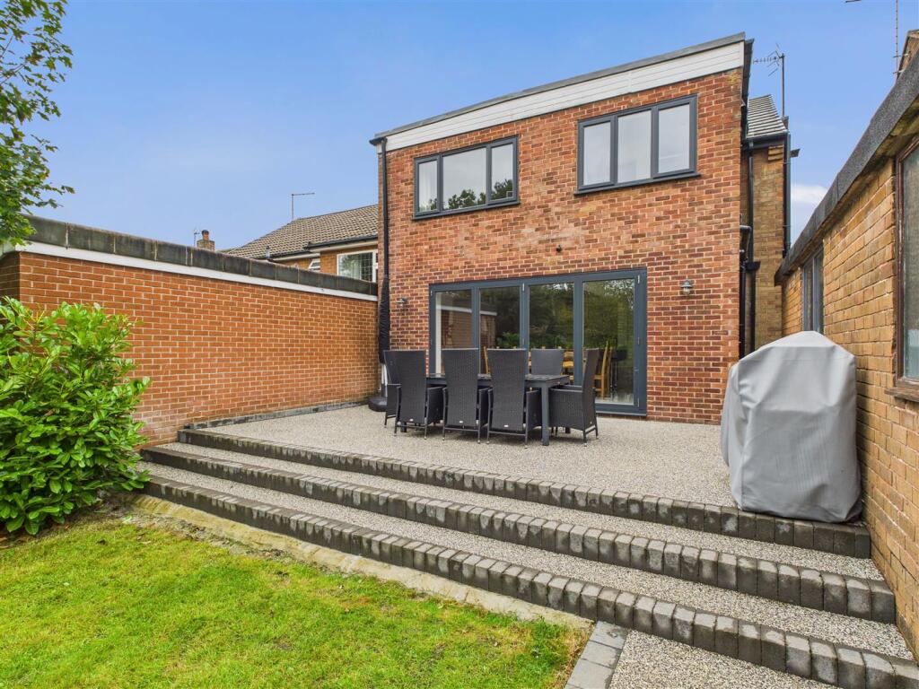
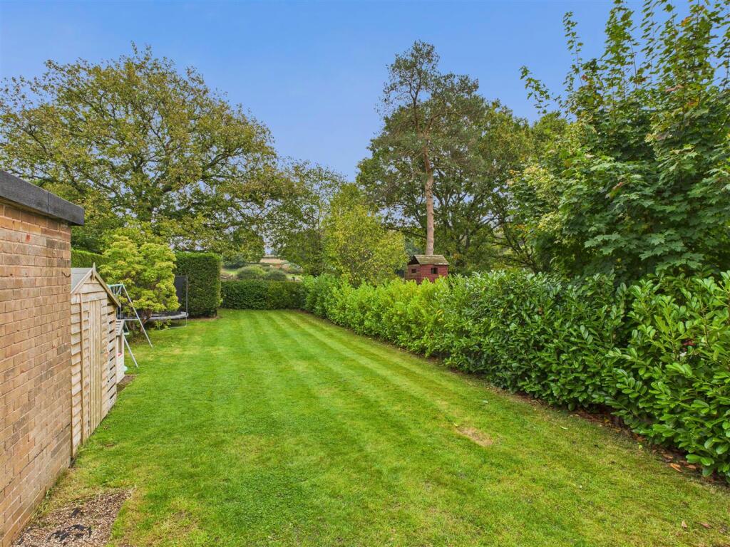
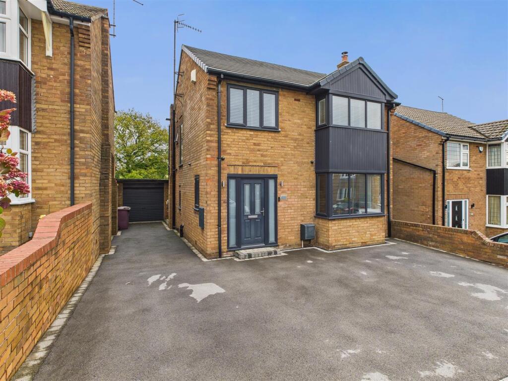
This stunning four bedroomed detached house has been stylishly refurbished and extended during recent years and is enviably located backing onto fields and farmland within this highly desirable residential locality on the semi rural fringe of Coal Aston yet within easy reach of an excellent range...
- Bedrooms
- 4
- Bathrooms
- 2
The heatmap indicates the level of crime in the area. The color of the heatmap indicates the crime severity and recency.
Metrics Year-on-Year
- Average area value
- 448,325.00 £Decreased by 13.51 %
- Average area rental value
- 1,480.00 £/moDecreased by 11.32 %
- Est rental Yield
- 3.96 %Increased by 2.59 %
- Crime Rate
- 1.00 %Unchanged by 0.00 %
from 518,358.00 £
from 1,669.00 £/mo
from 3.86 %
from 1.00 %
Agent Activity
Saxton Mee created the listing.
Nearby Schools
| Name | Type | Ofsted | Distance |
|---|---|---|---|
| Northfield Junior School | Community School | Good | 1.10 KM |
| Dronfield Stonelow Junior School | Community School | Good | 1.77 KM |
| Holmesdale Infant School | Community School | Outstanding | 1.84 KM |
| Unstone St Mary'S Infant School | Community School | Requires improvement | 2.21 KM |
| Unstone Junior School | Community School | Requires improvement | 2.33 KM |
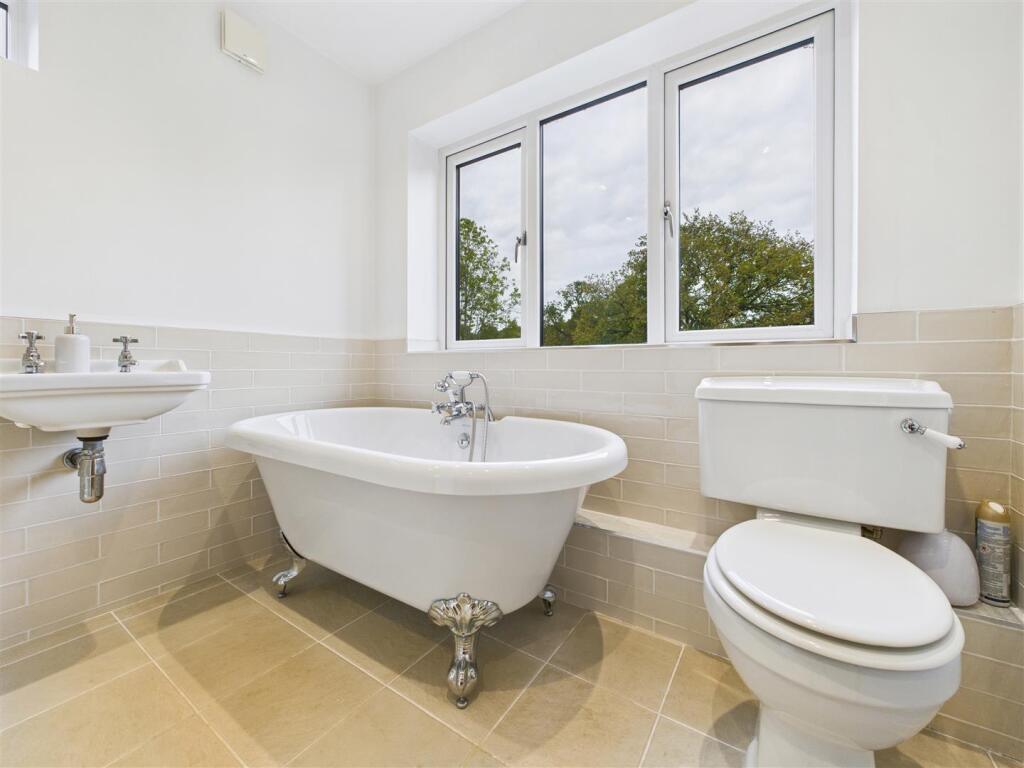
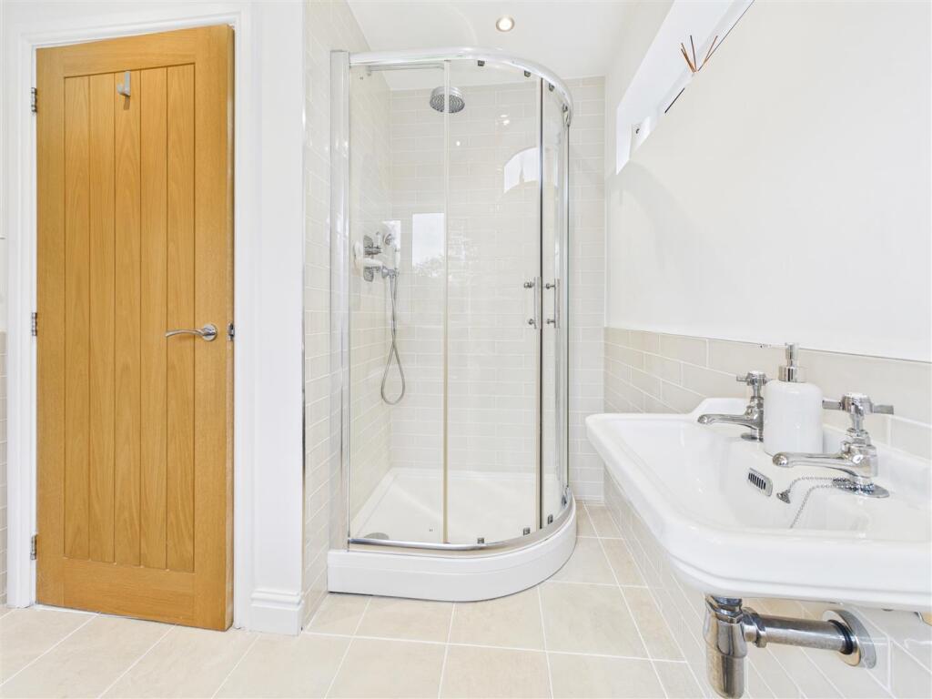
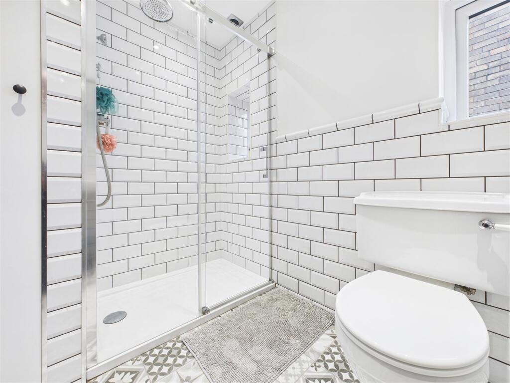
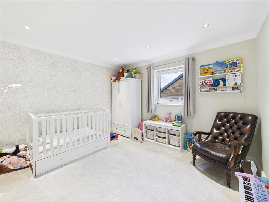
Images


Nearby Streets
| Name | Average Price | Average Sqft | Distance |
|---|---|---|---|
| Ash Lane | £ 695,000 | 0 | 0.00 KM |
| Firthwood Drive | £ 0 | 0 | 0.00 KM |
| Meadow Close | £ 300,000 | 0 | 0.00 KM |
| Halfacre Lane | £ 0 | 0 | 0.00 KM |
| The Unstone Line | £ 0 | 0 | 0.00 KM |
Nearby Transport
| Name | NLC | TLC | Distance |
|---|---|---|---|
| Dronfield | 6616 | DRO | 2.74 KM |
| Sheffield | 6691 | SHF | 7.75 KM |
| Dore And Totley | 6690 | DOR | 7.92 KM |
| Chesterfield | 6615 | CHD | 8.53 KM |
| Darnall | 6729 | DAN | 9.03 KM |
Nearby Listings
| Address | Price | Type | Score | Distance |
|---|---|---|---|---|
| Firthwood Road, Coal Aston, Dronfield | £ 550,000 | BUY | Unknown | 0.00 KM |
| Firthwood Road, Coal Aston, Dronfield, Derbyshire, S18 | £ 399,950 | BUY | 7 / 10 | 0.02 KM |
| Barnard Avenue, Coal Aston, Dronfield | £ 325,000 | BUY | 7 / 10 | 0.09 KM |
| Firthwood Close, Coal Aston, Dronfield | £ 330,000 | BUY | 7 / 10 | 0.11 KM |
| Barnard Avenue, Coal Aston, Dronfield, Derbyshire, S18 | £ 340,000 | BUY | 7 / 10 | 0.12 KM |
Nearby Properties
| Address | Price | Distance |
|---|---|---|
| 23 Firthwood Road | £ 302,600 | 0.07 KM |
| 4 Firthwood Road | £ 375,000 | 0.07 KM |
| 1 Firthwood Road | £ 550,000 | 0.09 KM |
| 22 Firthwood Road | £ 250,000 | 0.09 KM |
| 15 Firthwood Road | £ 102,000 | 0.09 KM |