Harbury Avenue, Southport, Merseyside, PR8
By Spencer Gordon
£ 324,995
Reviews
3 out of 5 stars
Spencer Gordon says ..
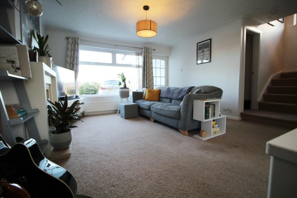
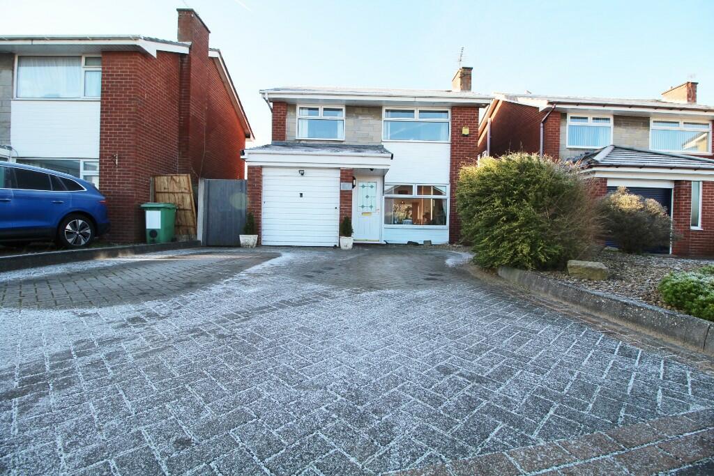
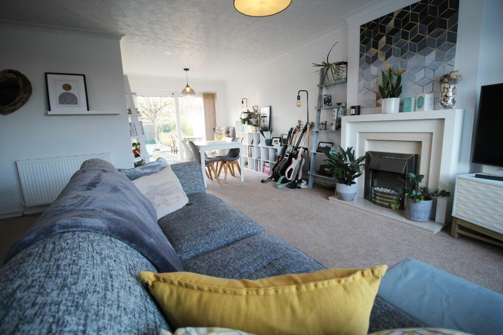
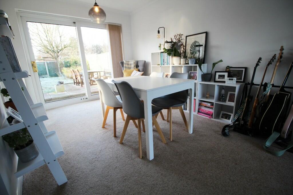
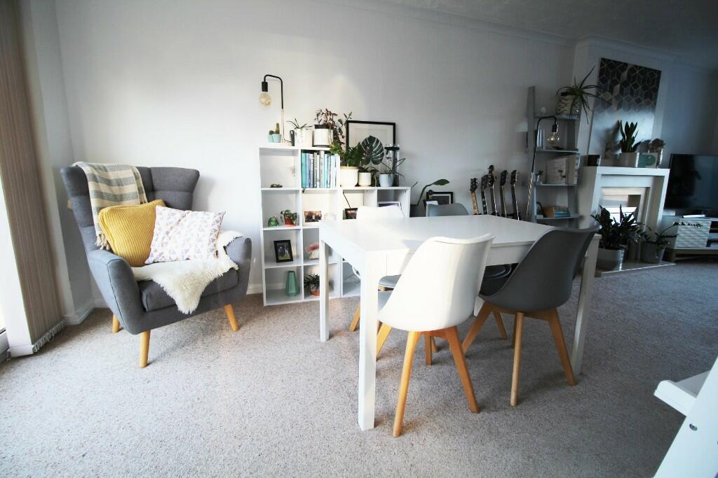
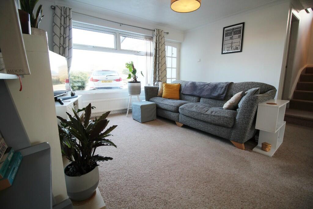
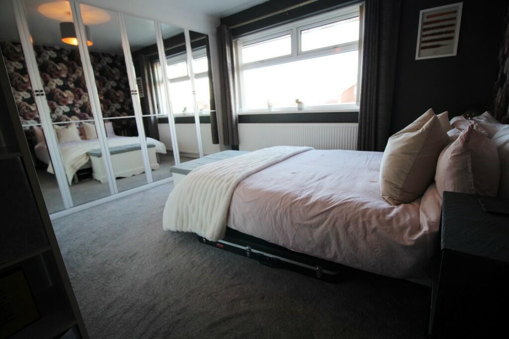
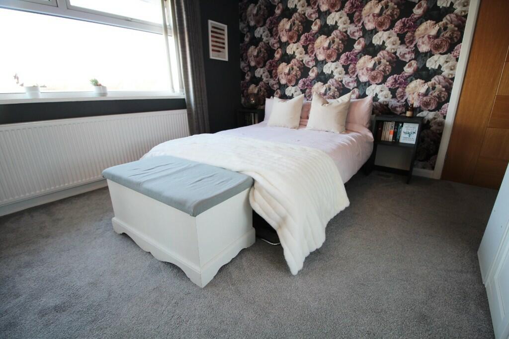
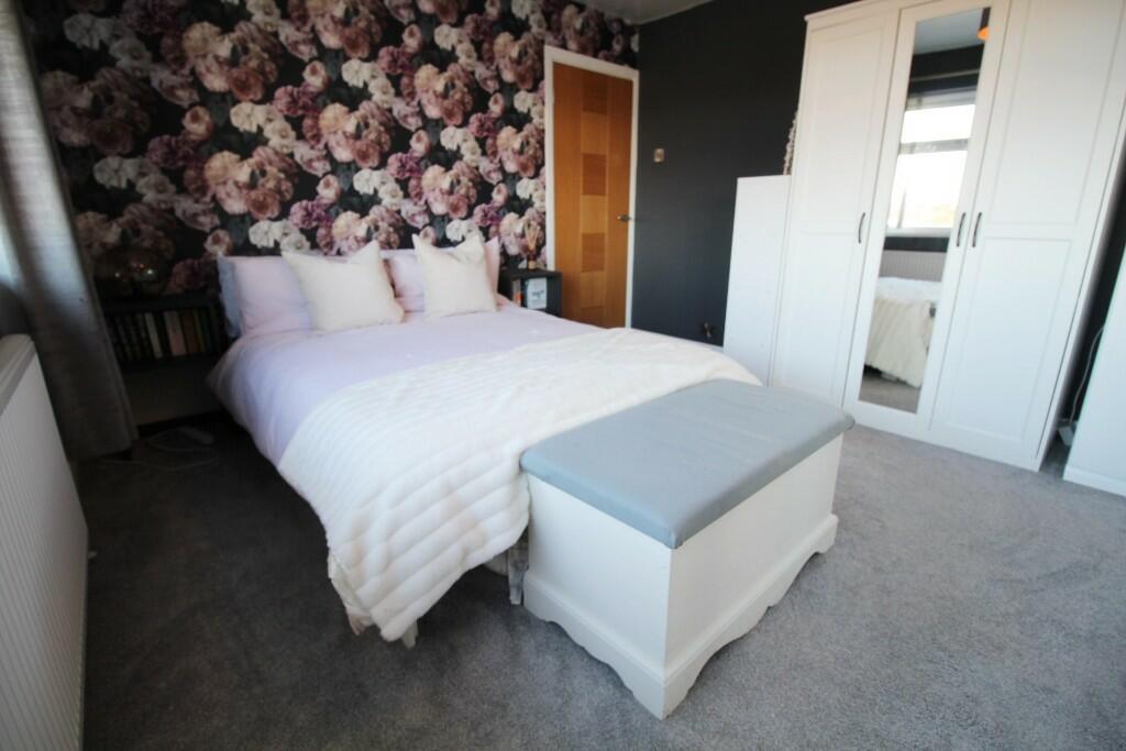
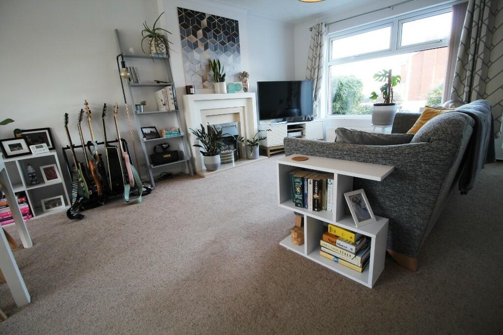
**BEAUTIFULLY PRESENTED THROUGHOUT** This EXTENDED 3 Bedroom detached family home with luxury Bathroom and Kitchen is situated in a popular residential location convenient for Ainsdale Village and station backing on to Ainsdale nature reserve. The property briefly comprises of entrance Porch, Open
Property Oracle says ..
This property is a 3 bedroom, 2 bathroom detached house located on Harbury Avenue in Ainsdale, Southport.
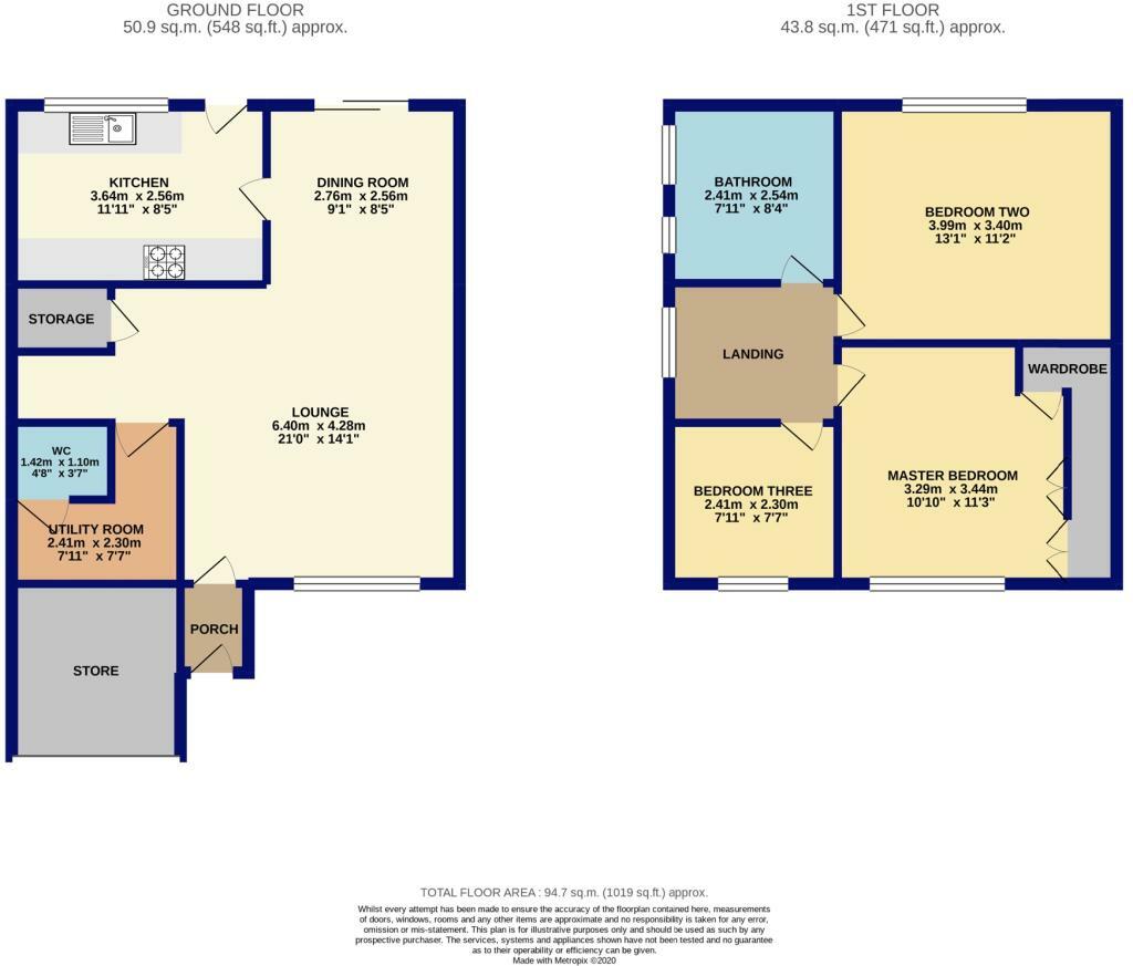
It offers 942.49 sqft of living space and a plot size of 1,019.34 sqft. The property is listed at £324,995.
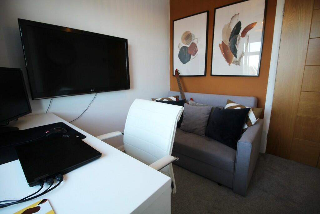
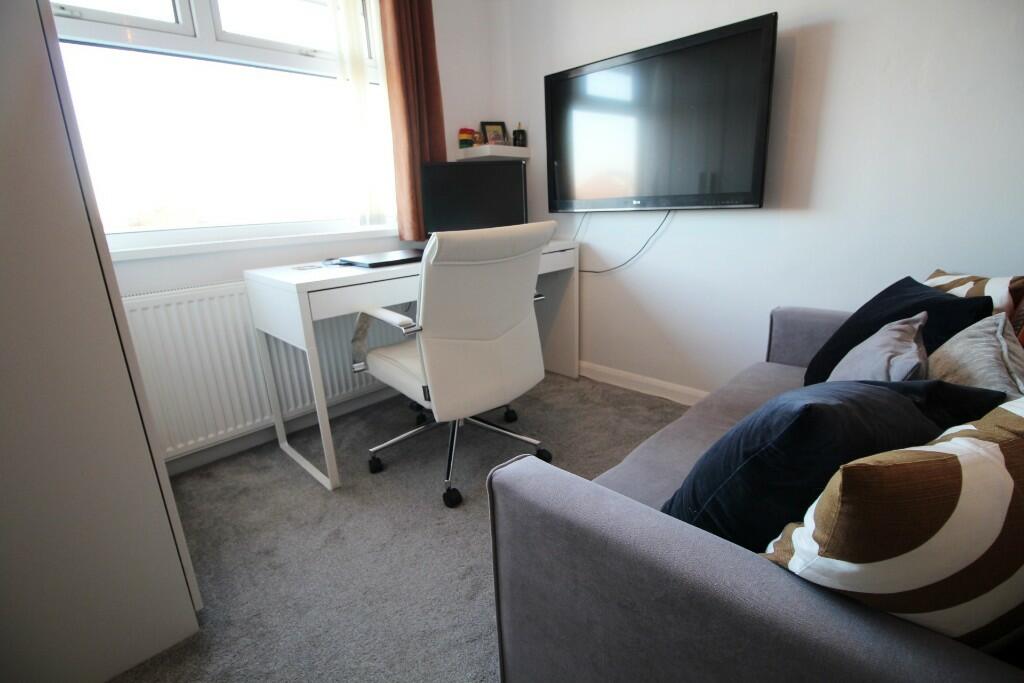
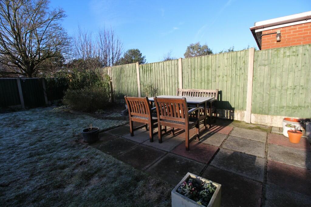
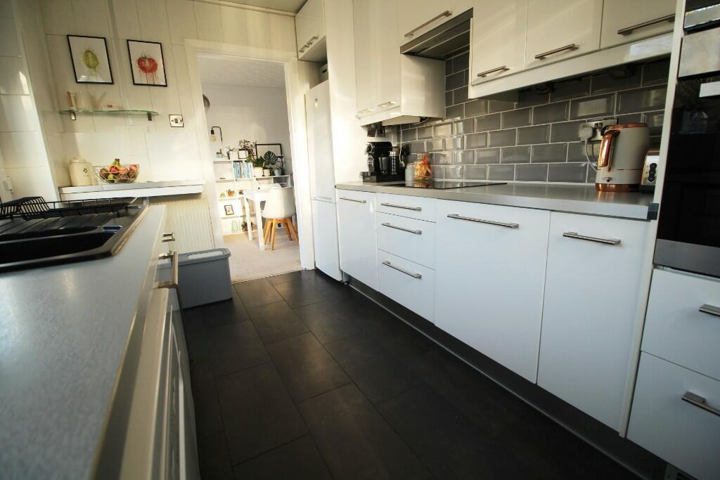
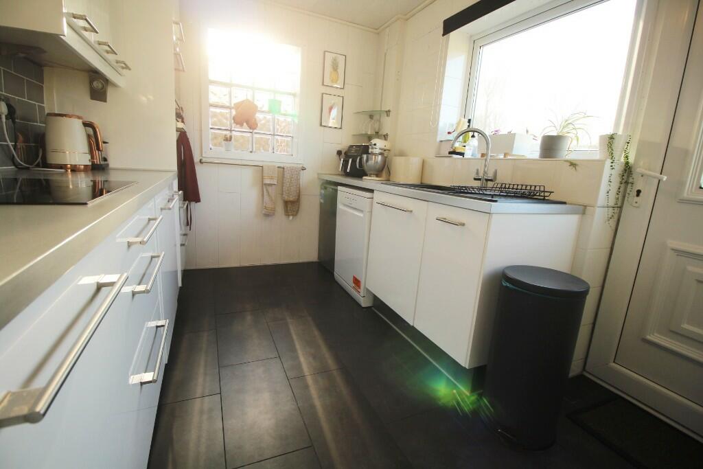
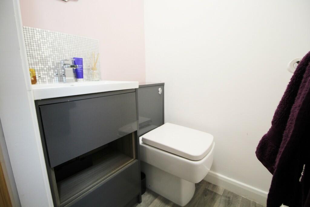
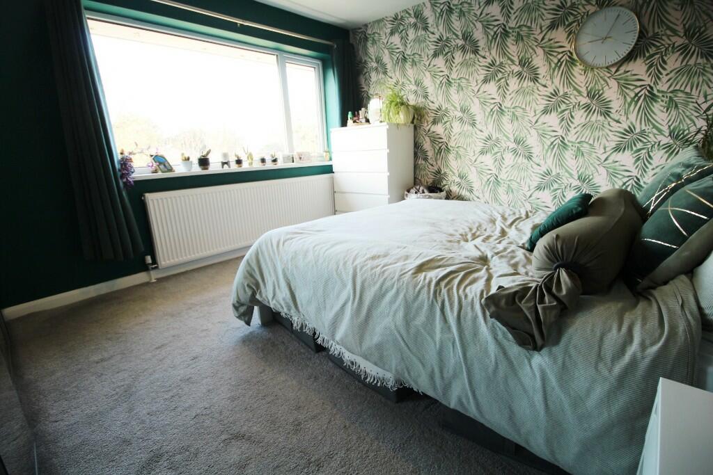
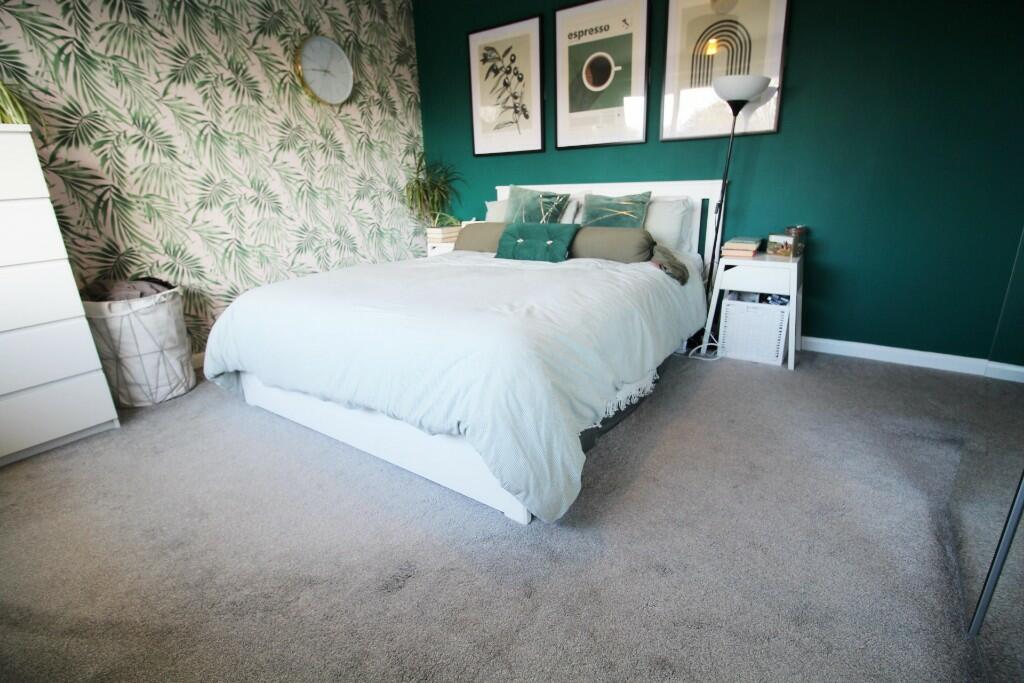
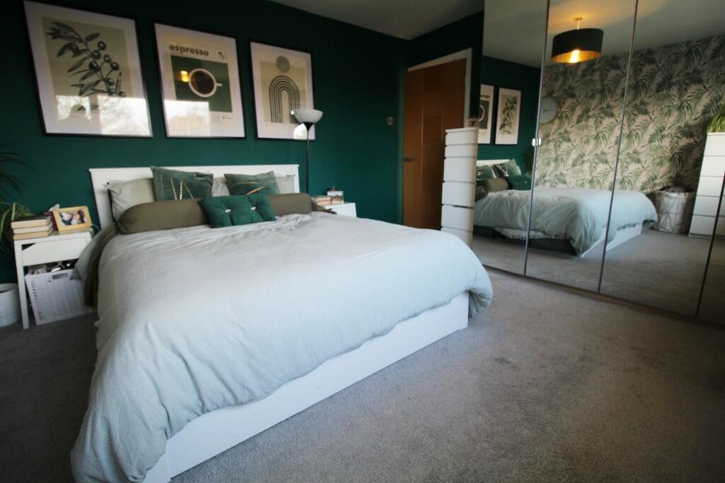
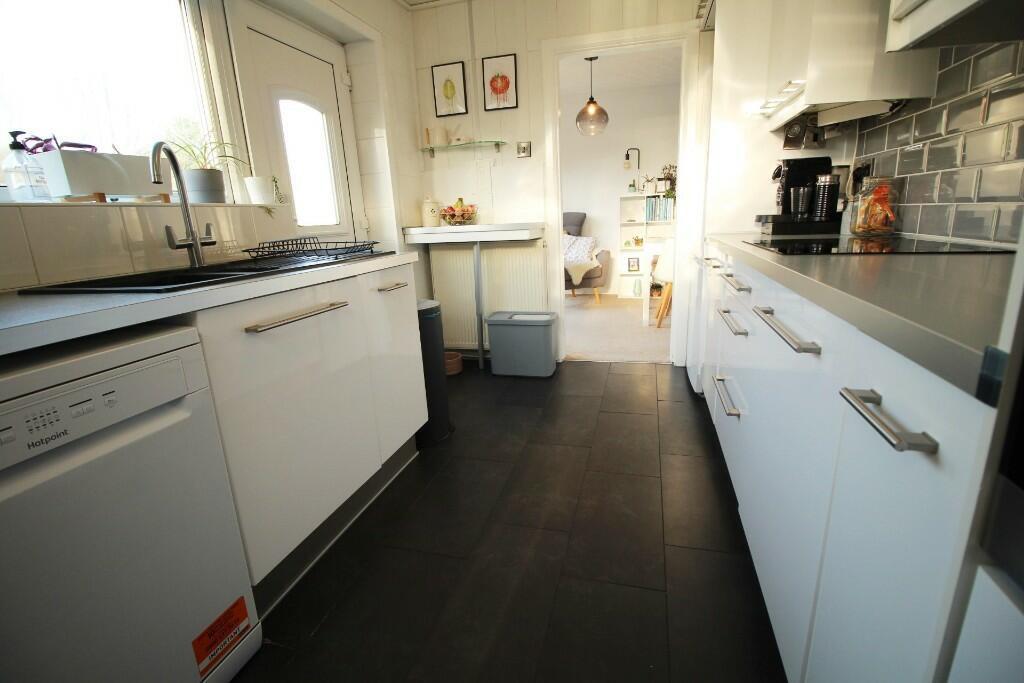
The property appears to be in good condition, well maintained and recently decorated. The kitchen and bathrooms have been recently updated to a modern standard. There is evidence of a garden to the rear of the property.
The location is in Ainsdale, a residential area of Southport. Ainsdale benefits from being close to good schools, such as Merefield School (Outstanding Ofsted rating) and Ainsdale St John’s Church of England Primary School (Outstanding Ofsted rating), both within a reasonable distance. The area also has convenient access to Ainsdale train station providing links to Southport and Liverpool.
Considering the average house price in the area is £348,937 and the average price per sqft is £305, the listed price of £324,995 appears reasonable, especially given the property’s good condition and the inclusion of a garden. However, the lack of sqft information for comparable properties makes a definitive price comparison difficult.
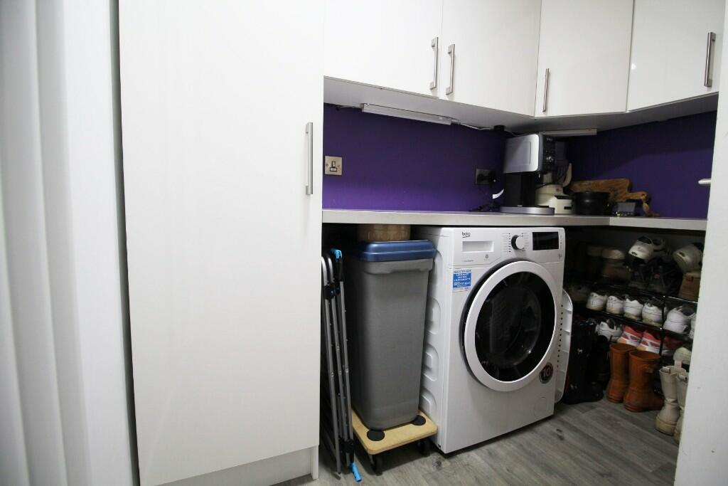
Based on the images provided, the property includes a GARAGE, PATIO and LAUNDRY.
Therefore, we give this property 7 / 10. *Disclaimer: This is our option and does constitute a recommendation or financial advice. Do your own research. *
- Price
- 7
- Condition
- 9
- Location
- 8
- Land
- 7
- Bedrooms
- 3
- Bathrooms
- 2
- Sqft (est)
- 942.49
- Lot (est)
- 1,019.34
The heatmap indicates the level of crime in the area. The color of the heatmap indicates the crime severity and recency.
Metrics Year-on-Year
- Average area value
- 350,455.00 £Increased by 5.50 %
- Est sale value
- 297,826.84 £Increased by 24.41 %
- Average area rental value
- 10,875.00 £/moIncreased by 953.78 %
- Est letting value
- 8,482.41 £/mo
- Est rental Yield
- 37.24 %Increased by 898.39 %
- Crime Rate
- 8.00 %Unchanged by 0.00 %
Agent Activity
Spencer Gordon created the listing.
Nearby Schools
| Name | Type | Ofsted | Distance |
|---|---|---|---|
| Shoreside Primary School | Academy Sponsor Led | 0.17 KM | |
| Merefield School | Community Special School | Outstanding | 0.35 KM |
| Kings Meadow Children'S Centre | Children's Centre Linked Site | 1.78 KM | |
| Kings Meadow Primary School And Early Years Education Centre | Community School | Good | 1.78 KM |
| Ainsdale St John'S Church Of England Primary School | Voluntary Aided School | Outstanding | 2.17 KM |
Images


Nearby Streets
| Name | Average Price | Average Sqft | Distance |
|---|---|---|---|
| Kingsbury Close | £ 0 | 0 | 0.00 KM |
| Sevenoaks Avenue | £ 0 | 0 | 0.00 KM |
| Penrith Avenue | £ 0 | 0 | 0.00 KM |
| Petworth Road | £ 380,000 | 0 | 0.00 KM |
| Greenford Road | £ 0 | 0 | 0.00 KM |
Nearby Transport
| Name | NLC | TLC | Distance |
|---|---|---|---|
| Ainsdale | 2350 | ANS | 1.14 KM |
| Hillside | 2231 | HIL | 4.09 KM |
| Freshfield | 2355 | FRE | 4.09 KM |
| Formby | 2354 | FBY | 5.28 KM |
| Birkdale | 2352 | BDL | 5.83 KM |
Nearby Listings
| Address | Price | Type | Score | Distance |
|---|---|---|---|---|
| Quinton Close, Southport, Merseyside, PR8 | £ 425,000 | BUY | 7 / 10 | 0.12 KM |
| Westminster Drive, Southport, Merseyside, PR8 2TH | £ 500,000 | BUY | Unknown | 0.16 KM |
| Westminster Drive, Southport | £ 500,000 | BUY | Unknown | 0.20 KM |
| Harbury Avenue, Southport | £ 300,000 | BUY | 7 / 10 | 0.20 KM |
| Bosworth Drive, Southport, Merseyside, PR8 | £ 400,000 | BUY | 6 / 10 | 0.25 KM |
Nearby Properties
| Address | Price | Distance |
|---|---|---|
| 1 Kingsbury Close | £ 80,000 | 0.18 KM |
| 11 Pershore Grove | £ 225,000 | 0.23 KM |
| 31 Pershore Grove | £ 249,950 | 0.23 KM |
| 26 Pershore Grove | £ 217,500 | 0.23 KM |
| 28 Pershore Grove | £ 126,000 | 0.23 KM |