
HA
Colne Way, Northampton
By haart
£ 1,200
haart says ..
**NO DEPOSIT OPTION AVAILABLE** Family Home in Kings Heath
- Bedrooms
- 3
- Bathrooms
- 1
The heatmap indicates the level of crime in the area. The color of the heatmap indicates the crime severity and recency.
Metrics Year-on-Year
- Average area value
- 257,142.00 £Increased by 9.46 %
- Average area rental value
- 873.00 £/moDecreased by 28.15 %
- Est rental Yield
- 4.07 %Decreased by 34.46 %
- Crime Rate
- 10.00 %Unchanged by 0.00 %
from 234,926.00 £
from 1,215.00 £/mo
from 6.21 %
from 10.00 %
Agent Activity
haart created the listing.
Nearby Schools
| Name | Type | Ofsted | Distance |
|---|---|---|---|
| Kings Heath Primary Academy | Academy Sponsor Led | Good | 0.35 KM |
| St Mary'S Catholic Primary School | Academy Converter | Good | 0.36 KM |
| Kings Heath Surestart Children'S Centre | Children's Centre | 0.60 KM | |
| Chiltern Primary School | Community School | Requires improvement | 1.09 KM |
| Lyncrest Primary School | Community School | Good | 1.36 KM |
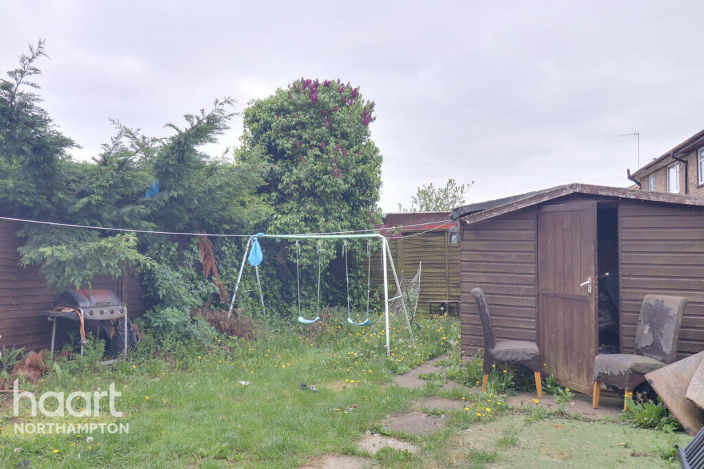
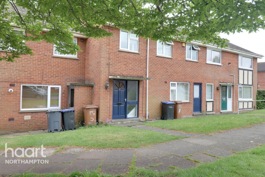
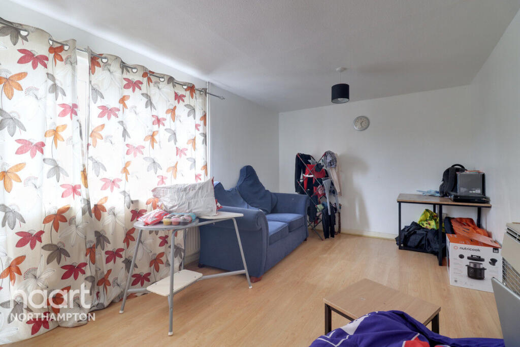
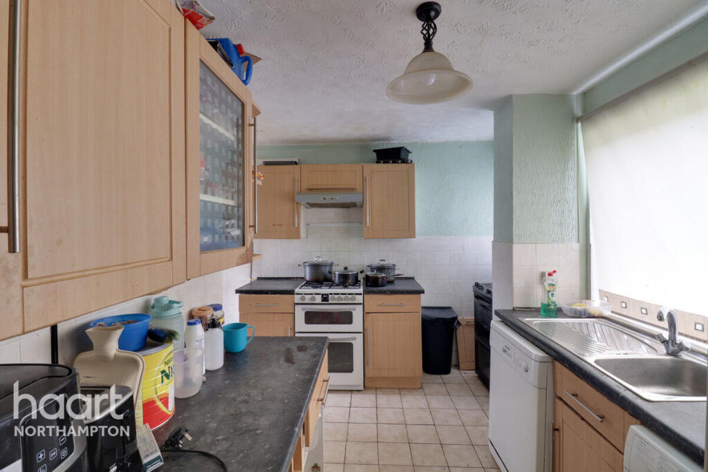
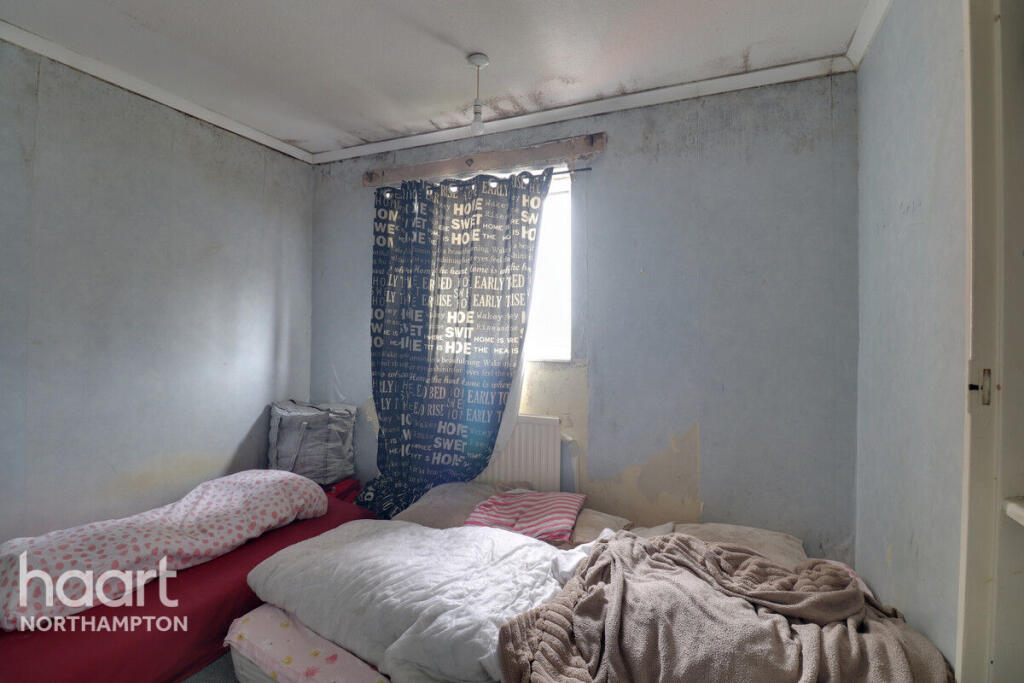
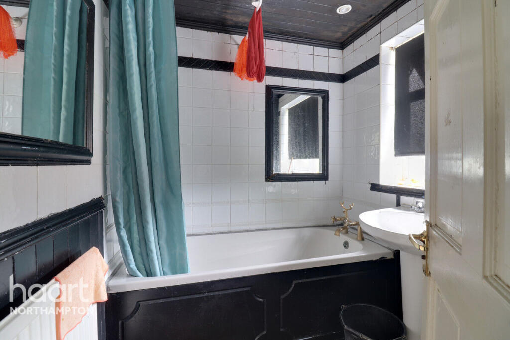
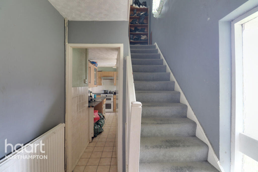
Images


Nearby Streets
| Name | Average Price | Average Sqft | Distance |
|---|---|---|---|
| Conway Close | £ 0 | 0 | 0.00 KM |
| Humber Close | £ 200,000 | 0 | 0.00 KM |
| Derwent Close | £ 0 | 0 | 0.00 KM |
| Chiltern Close | £ 275,000 | 0 | 0.00 KM |
| Belvedere Close | £ 0 | 0 | 0.00 KM |
Nearby Transport
| Name | NLC | TLC | Distance |
|---|---|---|---|
| Northampton | 1069 | NMP | 2.85 KM |
Nearby Listings
| Address | Price | Type | Score | Distance |
|---|---|---|---|---|
| Colne Way, Northampton | £ 1,200 | RENT | Unknown | 0.00 KM |
| Conway Close, NORTHAMPTON | £ 1,250 | RENT | Unknown | 0.23 KM |
| Humber Close, Durham, DH1 | £ 1,475 | RENT | Unknown | 0.41 KM |
| Humber Close, Durham, DH1 | £ 1,675 | RENT | Unknown | 0.41 KM |
| Humber Close, Durham, DH1 | £ 1,475 | RENT | Unknown | 0.41 KM |
Nearby Properties
| Address | Price | Distance |
|---|---|---|
| 63 West Oval | £ 123,000 | 0.08 KM |
| 33 West Oval | £ 119,995 | 0.08 KM |
| 11 West Oval | £ 245,000 | 0.08 KM |
| 65 West Oval | £ 195,000 | 0.08 KM |
| 29 West Oval | £ 160,000 | 0.08 KM |