MA
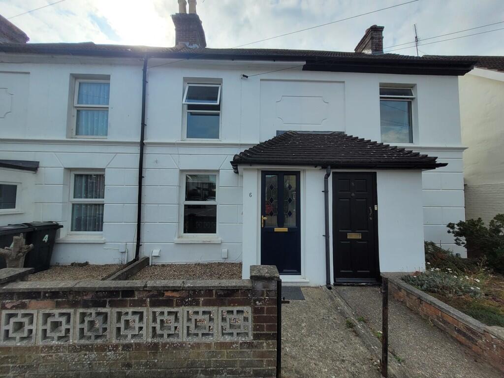
Croft Road, Ashford
By Martin & Co
£ 1,150
Martin & Co says ..
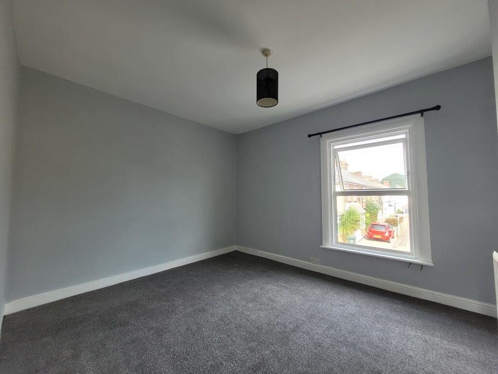
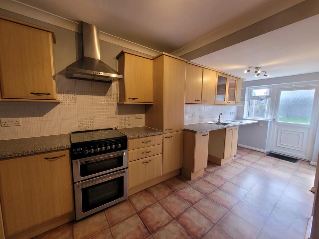
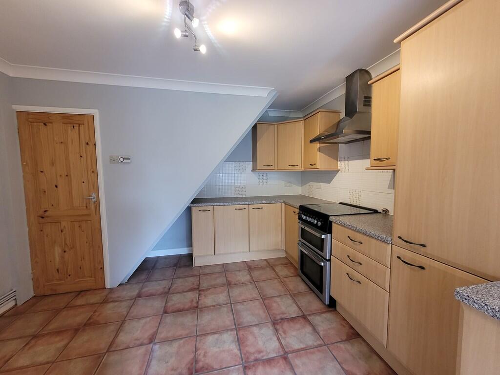
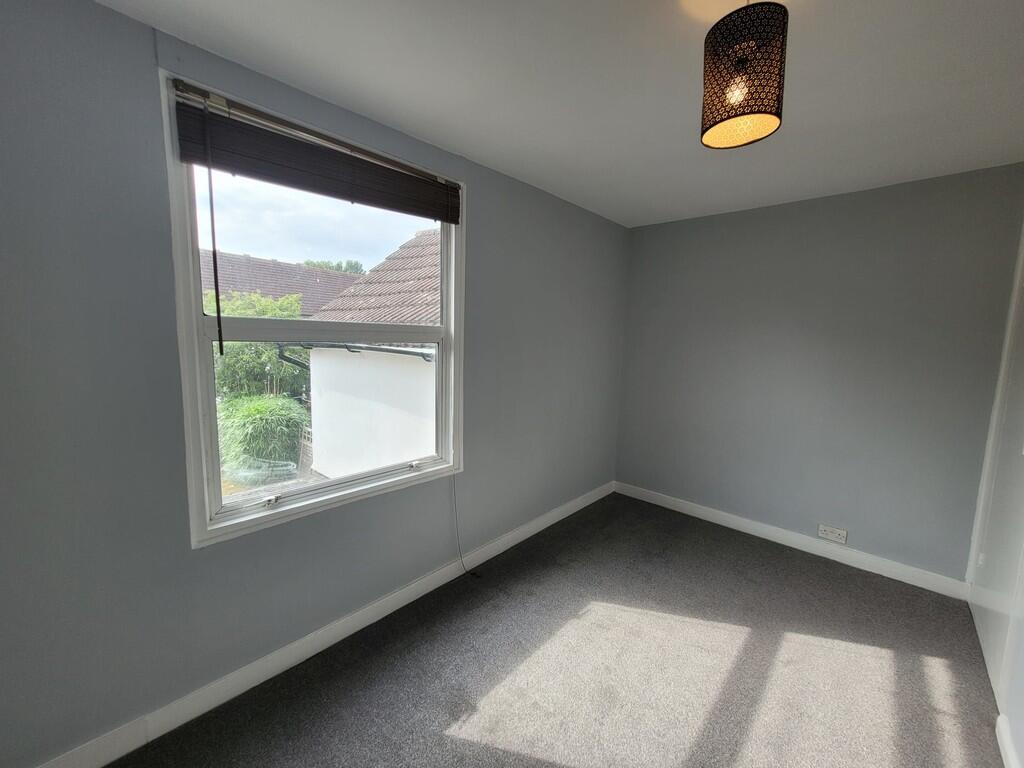
Two bed mid terraced house located on Croft Road, Ashford within 10 minutes walk to the train station and town centre.
- Bedrooms
- 2
- Bathrooms
- 1
The heatmap indicates the level of crime in the area. The color of the heatmap indicates the crime severity and recency.
Metrics Year-on-Year
- Average area value
- 257,097.00 £Decreased by 8.25 %
- Average area rental value
- 956.00 £/moIncreased by 1.92 %
- Est rental Yield
- 4.46 %Increased by 10.95 %
- Crime Rate
- 20.00 %Unchanged by 0.00 %
from 280,201.00 £
from 938.00 £/mo
from 4.02 %
from 20.00 %
Agent Activity
Martin & Co created the listing.
Nearby Schools
| Name | Type | Ofsted | Distance |
|---|---|---|---|
| Ashford School | Other Independent School | 0.45 KM | |
| The North School | Academy Converter | 0.59 KM | |
| Cornfields School | Other Independent Special School | Good | 0.78 KM |
| The Norton Knatchbull School | Academy Converter | Good | 0.98 KM |
| Victoria Road Primary School | Community School | Good | 1.38 KM |
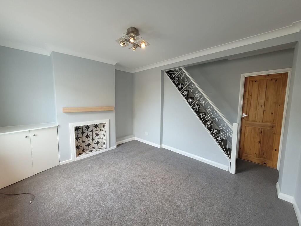
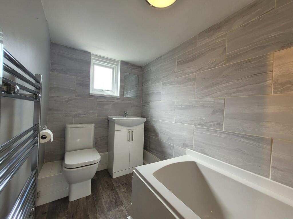
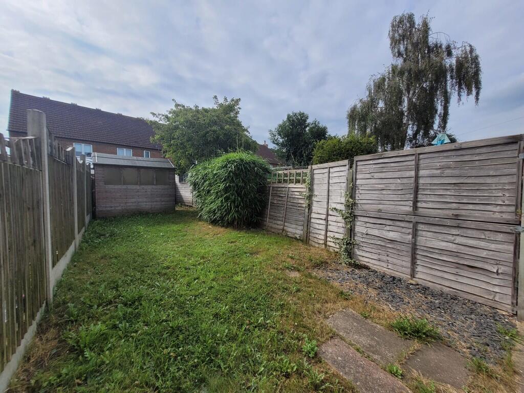
Images
Nearby Streets
| Name | Average Price | Average Sqft | Distance |
|---|---|---|---|
| Mill Court | £ 0 | 0 | 0.00 KM |
| Tannery Lane | £ 0 | 0 | 0.00 KM |
| Woodlea | £ 0 | 0 | 0.00 KM |
| Newtown Road | £ 0 | 0 | 0.00 KM |
| Preston Hill Lane | £ 0 | 0 | 0.00 KM |
Nearby Transport
| Name | NLC | TLC | Distance |
|---|---|---|---|
| Ashford International | 5004 | AFK | 0.74 KM |
| Wye | 5031 | WYE | 6.72 KM |
| Ham Street | 5037 | HMT | 9.29 KM |
Nearby Listings
| Address | Price | Type | Score | Distance |
|---|---|---|---|---|
| Croft Road, Ashford | £ 1,150 | RENT | Unknown | 0.00 KM |
| Pemberton Road, ASHFORD | £ 1,400 | RENT | Unknown | 0.09 KM |
| Pemberton Road, Ashford, TN24 | £ 1,300 | RENT | Unknown | 0.10 KM |
| Dering Road, Ashford | £ 900 | RENT | Unknown | 0.11 KM |
| Birling Road, Ashford, TN24 | £ 975 | RENT | Unknown | 0.17 KM |
Nearby Properties
| Address | Price | Distance |
|---|---|---|
| 16 Croft Road | £ 75,950 | 0.03 KM |
| 6 Croft Road | £ 182,000 | 0.03 KM |
| 4 Croft Road | £ 185,000 | 0.03 KM |
| 2 Croft Road | £ 180,000 | 0.03 KM |
| 12 Croft Road | £ 229,995 | 0.03 KM |