
LA
Ferry Road, Hullbridge, SS5
By Lawrence Antony
£ 1,500
Lawrence Antony says ..
Ferry Road Hullbridge
- Bedrooms
- 3
- Bathrooms
- 1
The heatmap indicates the level of crime in the area. The color of the heatmap indicates the crime severity and recency.
Metrics Year-on-Year
- Average area value
- 406,250.00 £Decreased by 9.68 %
- Average area rental value
- 1,195.00 £/moDecreased by 11.42 %
- Est rental Yield
- 3.53 %Decreased by 1.94 %
- Crime Rate
- 65.00 %Unchanged by 0.00 %
from 449,803.00 £
from 1,349.00 £/mo
from 3.60 %
from 65.00 %
Agent Activity
Lawrence Antony created the listing.
Nearby Schools
| Name | Type | Ofsted | Distance |
|---|---|---|---|
| Riverside Primary School | Community School | Good | 0.95 KM |
| Roc5/A Willows Family Hub Delivery Site | Children's Centre Linked Site | 0.96 KM | |
| Che10 Chetwood Family Hub Delivery Site | Children's Centre | 2.34 KM | |
| Down Hall Primary School | Community School | Good | 2.38 KM |
| Collingwood Primary School | Foundation School | Good | 2.64 KM |
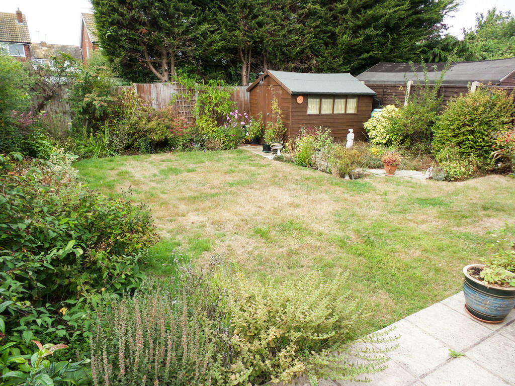
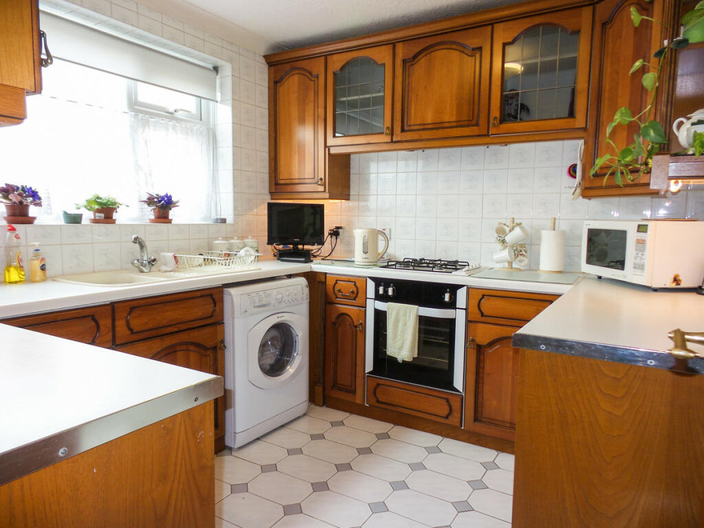
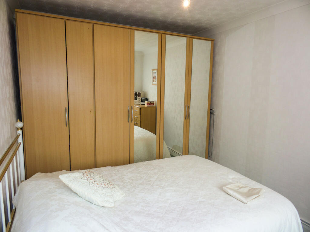
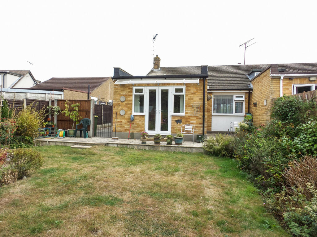
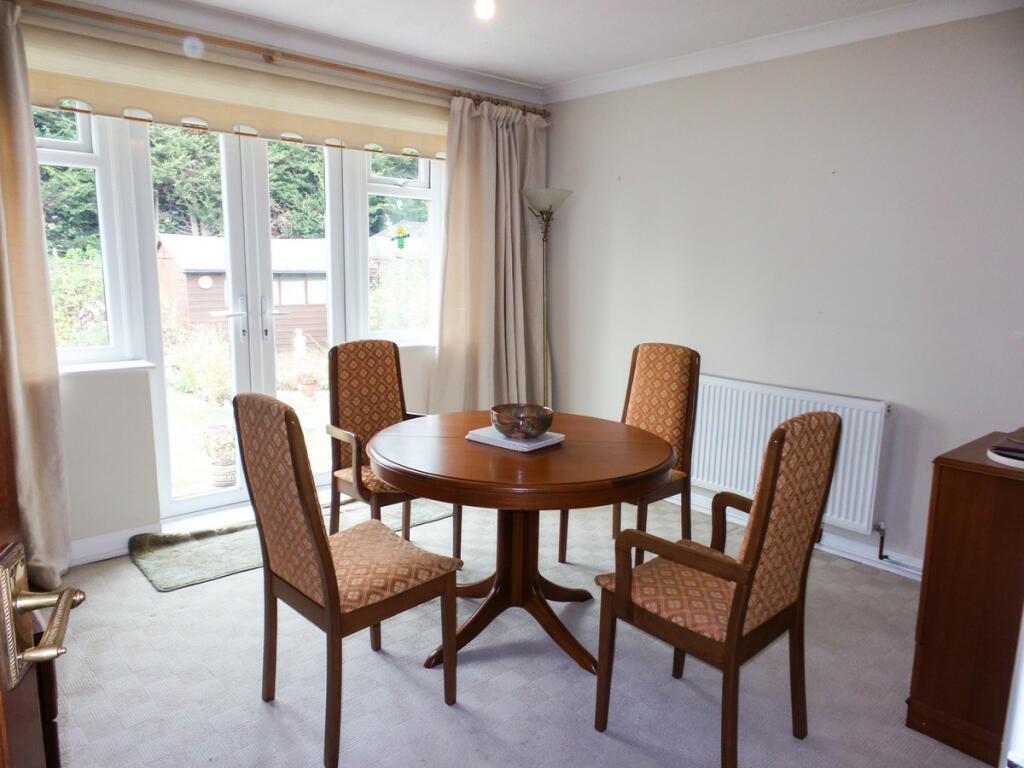
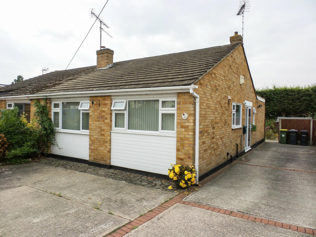
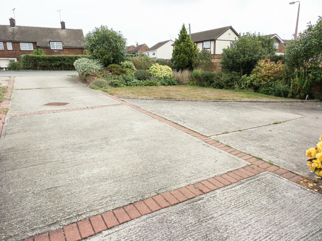
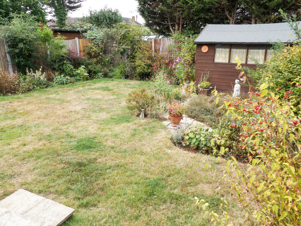
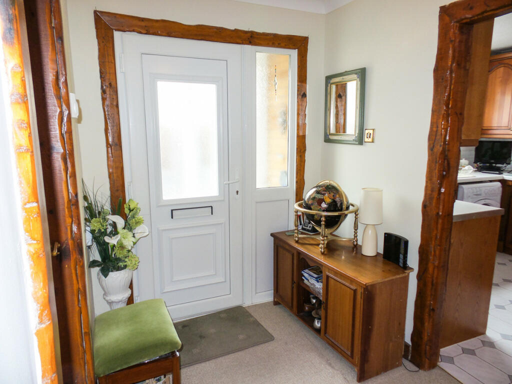
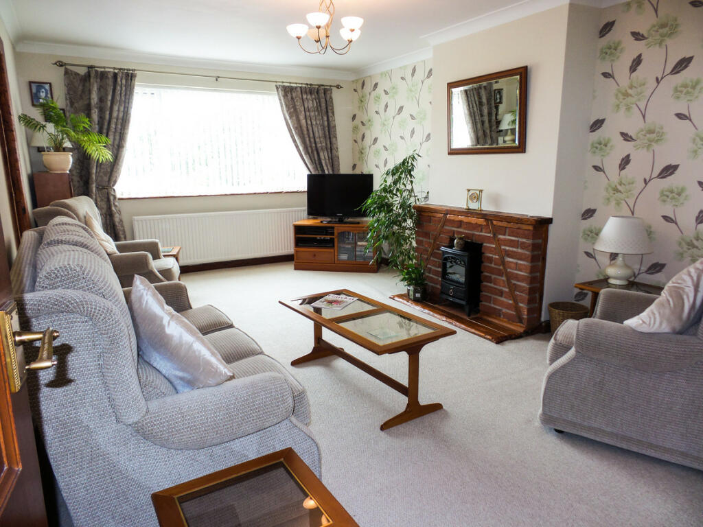
Images


Nearby Streets
| Name | Average Price | Average Sqft | Distance |
|---|---|---|---|
| Smuggler Close | £ 475,000 | 0 | 0.00 KM |
| Freeman Road | £ 475,000 | 0 | 0.00 KM |
| Wellington Avenue | £ 0 | 0 | 0.00 KM |
| Raven Way | £ 0 | 0 | 0.00 KM |
| First Avenue | £ 450,000 | 0 | 0.00 KM |
Nearby Transport
| Name | NLC | TLC | Distance |
|---|---|---|---|
| South Woodham Ferrers | 6892 | SOF | 3.43 KM |
| Rayleigh | 6884 | RLG | 3.62 KM |
| Battlesbridge | 6870 | BLB | 5.28 KM |
| Hockley | 6880 | HOC | 5.41 KM |
| North Fambridge | 6875 | NFA | 8.29 KM |
Nearby Listings
| Address | Price | Type | Score | Distance |
|---|---|---|---|---|
| Ferry Road, Hullbridge, SS5 | £ 975 | RENT | Unknown | 0.36 KM |
| Ferry Road, Hullbridge | £ 1,195 | RENT | Unknown | 0.37 KM |
| Cedar Drive, Hullbridge | £ 2,000 | RENT | Unknown | 0.68 KM |
| Hullbridge Road, Rayleigh, Essex, SS6 | £ 1,500 | RENT | Unknown | 1.35 KM |
| Hullbridge Road, Rayleigh, Essex, SS6 | £ 1,000 | RENT | Unknown | 1.37 KM |
Nearby Properties
| Address | Price | Distance |
|---|---|---|
| 63 Ferry Road | £ 260,000 | 0.05 KM |
| 81 Ferry Road | £ 410,000 | 0.05 KM |
| 73 Ferry Road | £ 295,000 | 0.05 KM |
| 71 Ferry Road | £ 205,000 | 0.05 KM |
| 56 Abbey Road | £ 380,000 | 0.09 KM |